
Desert Queen Mine Hike
View Photos
Desert Queen Mine Hike
Difficulty Rating:
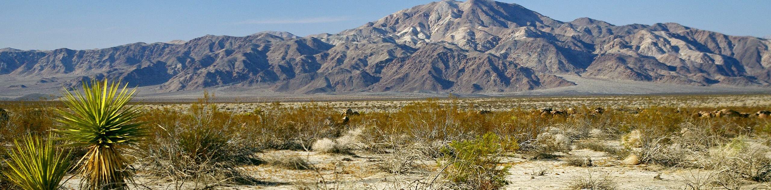
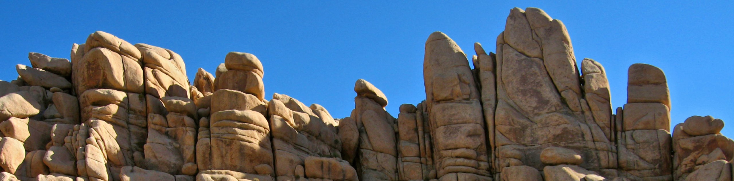
Passing by a number of old mine sites and other unique structures, the Desert Queen Mine Hike has no shortage of interesting places to visit. This moderately challenging route is ideal for hikers looking for a bit more of a challenge than many other shorter routes found within Joshua Tree National Park. Alongside the many historically significant sites to visit, opportunities for wildlife viewing are plentiful.
Getting there
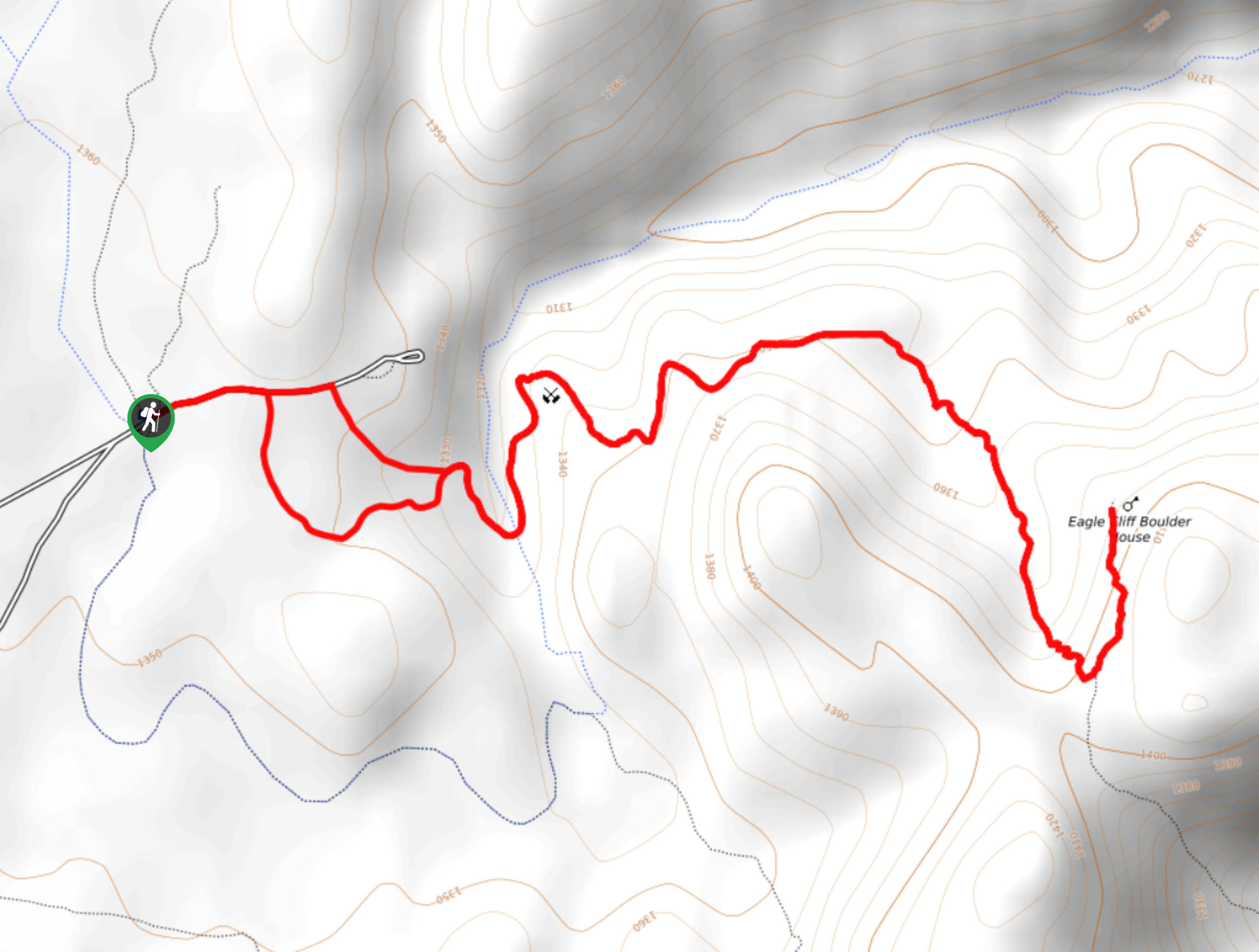
The trailhead for the Desert Queen Mine Hike can be found at the parking lot near the end of Queen Valley Road.

About
| Backcountry Campground | |
| When to do | March-November |
| Pets allowed | No |
| Family friendly | Older Children only |
| Route Signage | Poor |
| Crowd Levels | Moderate |
| Route Type | Lollipop |
Desert Queen Mine Hike
Elevation Graph
Weather
Desert Queen Mine Hike Description
While it has much to see, the Desert Queen Mine Hike is not easy to navigate at times. The trail is poorly marked for long sections and it is easy to get lost if you are not careful and paying attention. Therefore, it is important that both your skills and equipment are sufficient enough to take on the challenge. Likewise, to beat the midday heat, it is recommended the trail be done earlier in the morning or later in the evening.
With your car parked at the lot, make your way east along Queen Valley Road. You will soon arrive at a junction with the road continuing east, and a walking path veering south. Follow the path south for a few hundred feet over flat terrain. The path will then begin to head in an eastern direction before it crosses a stream that may or may not have water, depending on the time of year. After passing the stream, the trail veers sharply north and begins to climb in elevation. At the top of this hill, the Desert Queen Mine will be visible to the south, so stop and check it out.
Once you have had an opportunity to take in the mine, continue on the Desert Queen Mine Hike by heading in an eastern direction over more flat terrain. Soon the trail will deviate south and begin to climb in elevation once again. The Desert Queen Mine Hike will then veer sharply north where you will arrive at the end. Take in the amazing views of the surrounding area, and be sure to check out the incredibly unique Eagle Cliff Boulder House before retracing your route back to the trailhead.
Similar hikes to the Desert Queen Mine Hike hike
Keys View Road to Pinto Basin Road Trail
The Keys View Road to Pinto Basin Road Trail is a moderately difficult one-way route in Joshua Tree National Park.…
Willow Hole Trail
The Willow Hole Trail is a picturesque route that provides lots of opportunities for wildlife viewing throughout its duration. The…
Wall Street Mill Trail
Short in length, but packed with things to see, the Wall Street Mill Trail is an ideal route for families…
Comments