Cottonwood Spring Nature Trail
View Photos
Cottonwood Spring Nature Trail
Difficulty Rating:
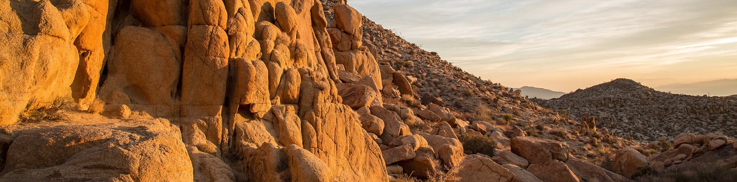
The Cottonwood Spring Nature Trail is a leisurely hike with plenty of opportunities for wildlife viewing. Considered by many to be a hidden gem of Joshua Tree National Park, the spring that the hike bypasses has been used as a freshwater source since the time of the Cahuilla Indiginious peoples, and is therefore considered to be historically significant. With a diverse mixture of desert plants and flowers, the Cottonwood Spring Nature Trail is a great place to take in the desert aesthetic.
Getting there
From the Christopher Columbus Intercontinental Highway, head north along Cottonwood Springs Road 20.0mi into Joshua Tree National Park. Turn right on Cottonwood Oasis Road, and keep going until you reach Cottonwood Campground, where you will park your car.

About
| Backcountry Campground | |
| When to do | March - October |
| Pets allowed | No |
| Family friendly | Yes |
| Route Signage | Poor |
| Crowd Levels | Moderate |
| Route Type | Circuit |
Cottonwood Spring Nature Trail
Elevation Graph
Weather
Cottonwood Spring Nature Trail Description
The Cottonwood Spring Nature Trail is within an area packed with historical significance. Near the start of the trail, the hiker will pass a beautiful natural spring that was used by the Cahuilla Indiginious peoples as a freshwater source for thousands of years. In later times, it was also an important water stopover for prospectors traveling north through what is now Joshua Tree National Park.
While the hike’s length and elevation gain would not be considered significant by the average person, the second half of the trail is poorly marked, and therefore care should be taken when attempting it. Likewise, the desert landscape ensures that not much shade exists throughout the route, so it is suggested to bring lots of water and sunscreen.
After leaving the parking lot, the Cottonwood Spring Nature Trail heads south along an established and well marked trail. After passing the natural spring, the trail continues south before veering east for a short period. The Cottonwood Spring Hike then heads in a northerly direction while gaining some elevation, where it meets up with another trail called the Mastodon Mine Loop Trail for a short period. Once on the Mastodon Mine Loop trail, the route heads northwest for a short period, before diverging north away from the other trail. This section of the Cottonwood Spring Nature Trail is poorly marked and takes the hiker through what feels like more open desert. Continuing on their northerly heading, the hiker will then arrive at a more established trail. This trail is the end of the Mastodon Mine Loop, and will take the hiker back to the parking lot if they follow it in a westernly direction.
Similar hikes to the Cottonwood Spring Nature Trail hike
Keys View Road to Pinto Basin Road Trail
The Keys View Road to Pinto Basin Road Trail is a moderately difficult one-way route in Joshua Tree National Park.…
Willow Hole Trail
The Willow Hole Trail is a picturesque route that provides lots of opportunities for wildlife viewing throughout its duration. The…
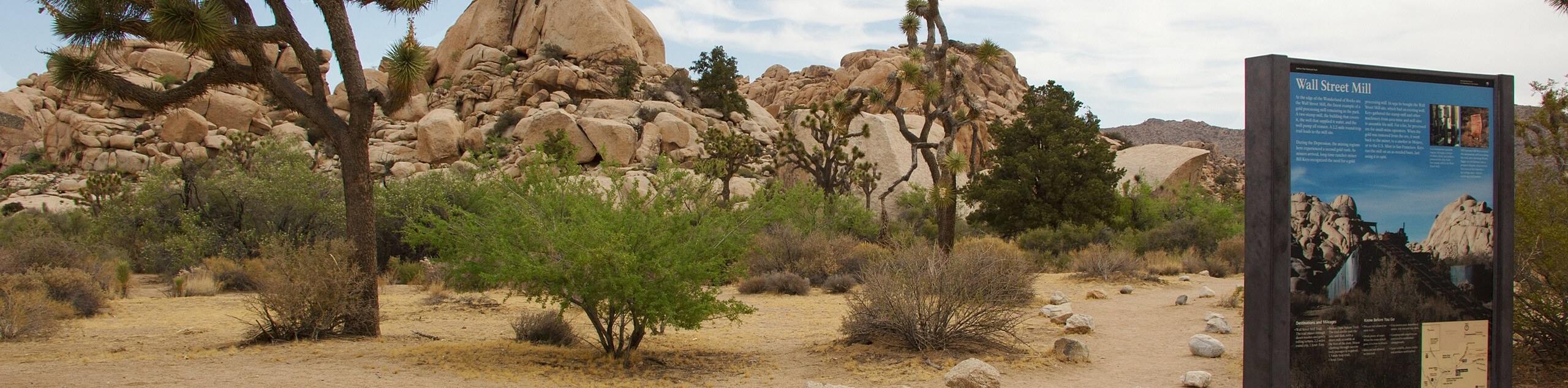
Wall Street Mill Trail
Short in length, but packed with things to see, the Wall Street Mill Trail is an ideal route for families…
Comments