Boy Scouts Trail hike
View Photos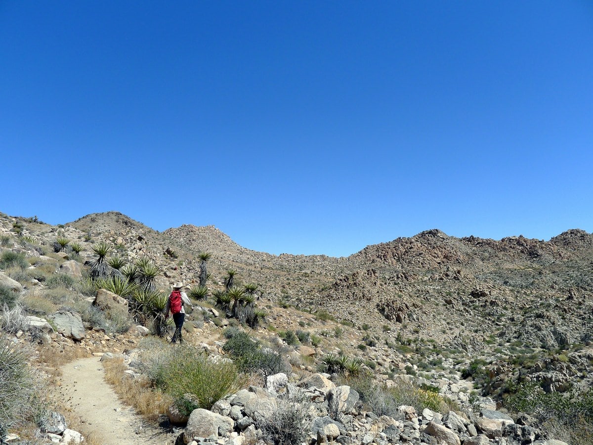
Boy Scouts Trail hike
Difficulty Rating:
This gorgeous hike traverses from the range that separates the upper Pinto Basin with the lower Mojave. Stunning and secluded, over the course of the hike you will see the landscape transform. Requires a vehicle shuttle.
Getting there
You can start this trail from either Indian Cove or the main park. We recommend starting in the main park, as then there is a net elevation loss over the course of the hike. Firstly you’ll need to shuttle one vehicle to the trailhead near Indian Cove Campground. Enter the park from the Indian Cove Entrance near 29 Palms, and drive for a short ways until you see the Boy Scouts Trailhead on the right hand side. Park and leave one vehicle here, then switch vehicles to drive towards the other trailhead.
Drive out of the park and turn left onto the 29 Palms Highway (Route 62). Go all the way until you see signs for the Joshua Tree Visitors Centre on Park Boulevard and turn left. From the main West Entrance Station, head down Park Boulevard until you see the large signs for the Boy Scouts Trailhead. There are pit toilets in the moderately sized parking lot.

About
| When to do | Spring and Fall, avoid summer heat |
| Backcountry Campsites | Dispersed camping |
| Toilets | At both trailheads |
| Family friendly | No |
| Route Signage | Average |
| Crowd Levels | Low |
| Route Type | One Way |
Boy Scouts Trail
Elevation Graph
Weather
Route Description for Boy Scouts Trail
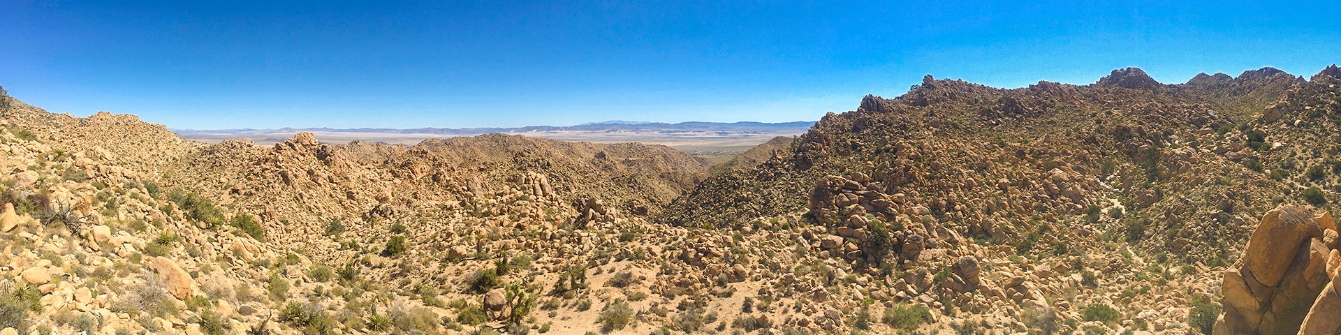
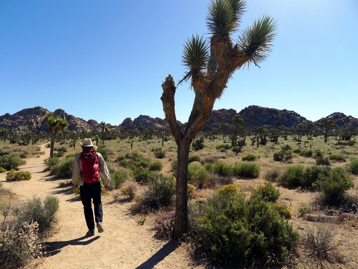
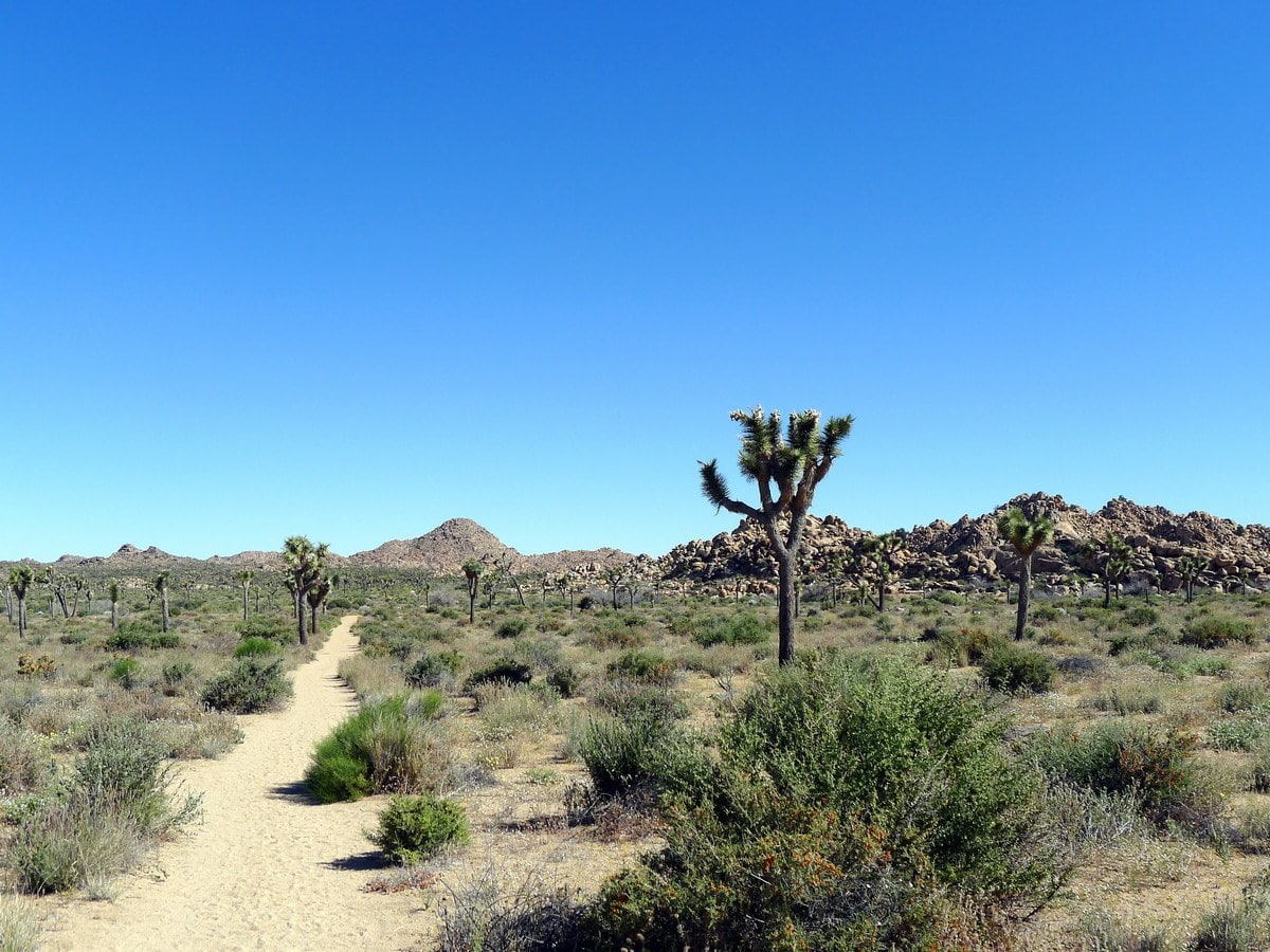
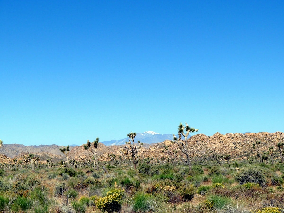
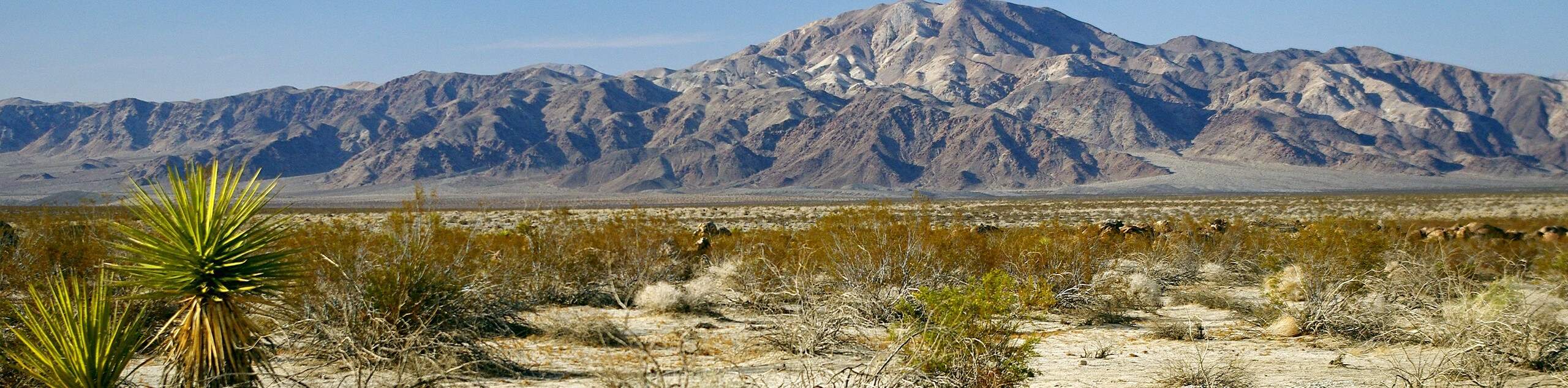
From the central park trailhead, begin along the wide flat trail that heads directly out into the plane. The topography of this area can be described as ‘plane and range,’ having expansive desert basins contained by small mountain ranges. This hike will take you from the Pinto Basin, over a ranch to the edge of the Mojave Basin.
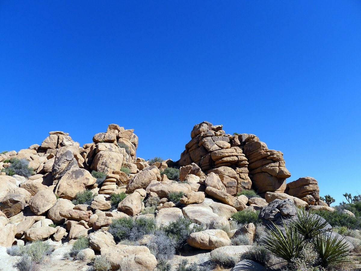
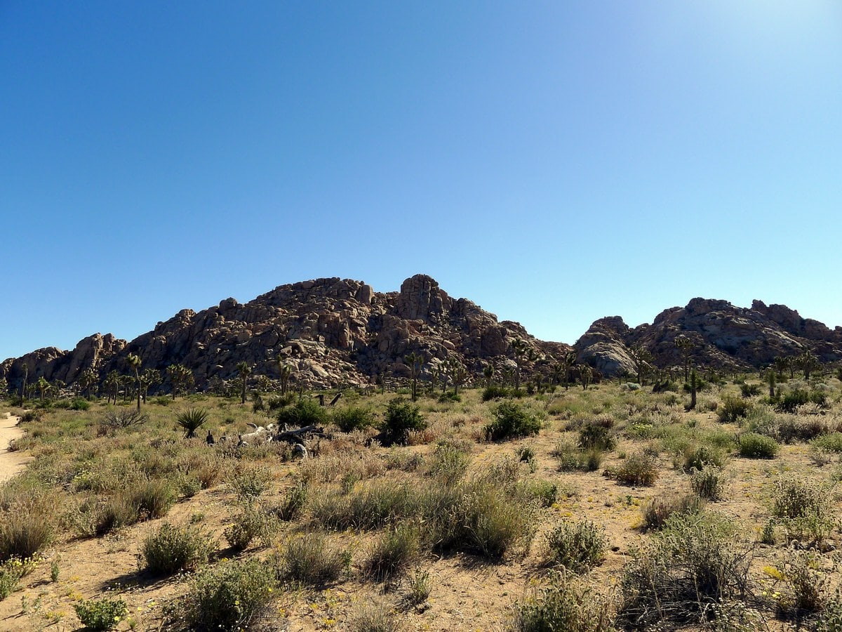
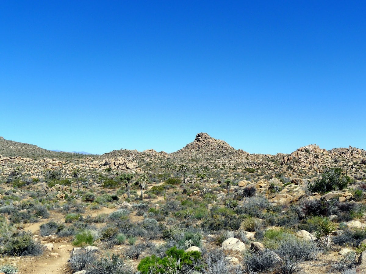
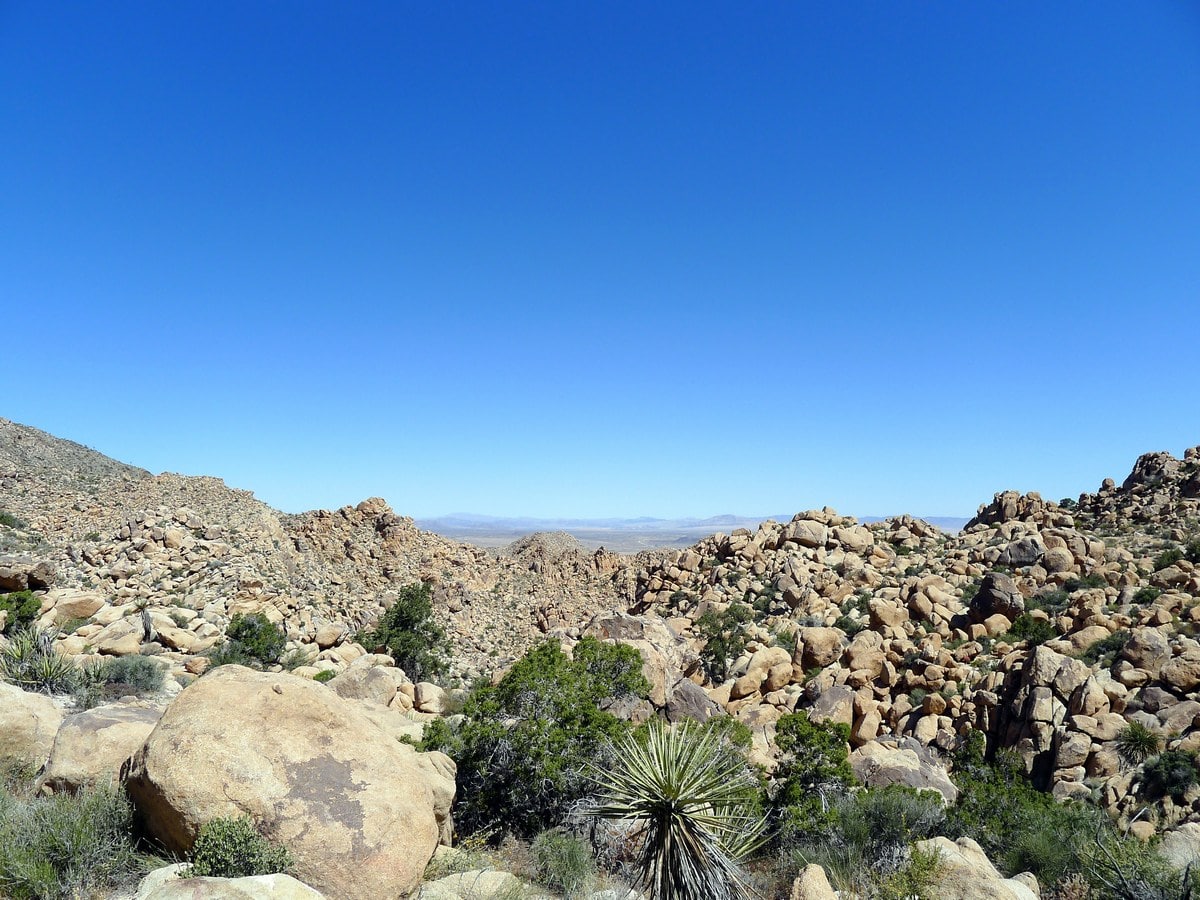
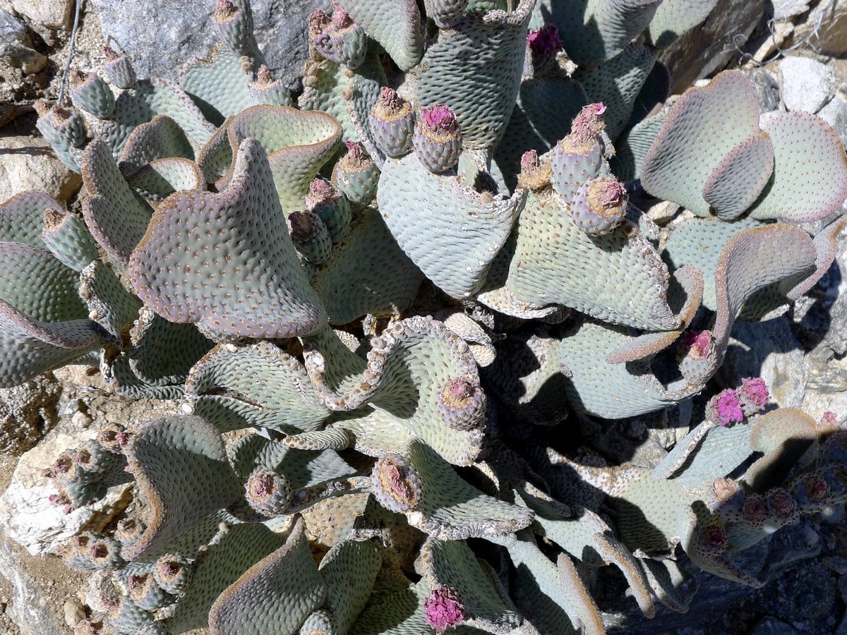
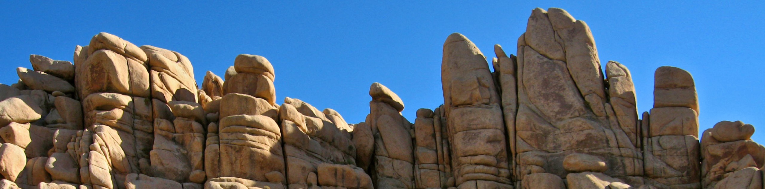
The first part of this hike is completely flat, winding around an assortment of vegetation, including many Joshua Trees. You will approach the obvious range and slowly start to gain elevation. As you do so, you will be granted exquisite views of small rock formations. Though not quite comparable to the large formations you see on other popular hikes such as Split Rock or Hidden Valley, the smaller boulders and cliffs provide beautiful contrast to the plane you have just been hiking in.
You will climb a small amount and crest a number of ridges. From here you will get your first view down into the Indian Creek area. As the trail continues you will enter a wash – a dried up creek-bed that flows during the flash floods, which occur irregularly in the region. It is usually the most efficient way to cross this type of country. The only downside is that you will be hiking in (typically) loose sand, which is not only somewhat challenging to walk in, but also gets in your shoes.
As you hike down the wash you will weave in between a few large boulders, yielding a very pleasant atmosphere. On the other side of the range, in Indian Cove, you will find a plethora of large monzogranite formations. These are popular amongst climbers. Finally you will exit the wash and find yourself on the other side of the mountains. Continue hiking along the plane, passing by more notable boulders until you reach the Indian Cove trailhead. A stunning adventure!
Insider Hints
For a Grade 5 hike, complete this trail both ways. Be warned; it’s definitely a long day!
For a shorter hike just continue along the flat part of the trail until it starts to climb. This is still a really enjoyable hike that is typically very secluded. Depending on how long you continue this could be a Grade 1 or 2 hike, which would also be appropriate for children.

Similar hikes to the Boy Scouts Trail hike
Keys View Road to Pinto Basin Road Trail
The Keys View Road to Pinto Basin Road Trail is a moderately difficult one-way route in Joshua Tree National Park.…
Willow Hole Trail
The Willow Hole Trail is a picturesque route that provides lots of opportunities for wildlife viewing throughout its duration. The…
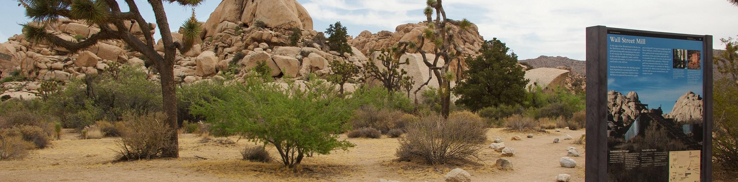
Wall Street Mill Trail
Short in length, but packed with things to see, the Wall Street Mill Trail is an ideal route for families…
Francine Robertson 4 years ago
Some pretty rock formations along the way. I enjoyed the southern sector better.
YashKumar 4 years ago
Make sure you take food and water with you as there's no food for purchase in the park.
yanagichan 4 years ago
It was a fantastic short hike with amazing photo opportunities.
Betty K. 4 years ago
Perfect for nice and easy stroll. Very exposed trails.
orlando f. 4 years ago
Walking through the dried-up creek felt weird. I want to see it filled with water, it's hard to imagine.
Nora T. 4 years ago
The desert scenery is very nice and its a good hike.
Stumpyboots 4 years ago
This is an easy trail that wanders by the Wonderland of Rocks. Beautiful views!
Kenny Walks 4 years ago
The trail is amazing, rocky and has pretty views overlooking the town of Joshua Tree.
Jellybean 4 years ago
The ice cream at the Canyon Village was amazing after this hike. A must try.
Teri Scott 4 years ago
Nice hike, but no toilets in the middle of the desert. Troublesome for one of my friends. It's funny but It's true.