Stone Lake and Upper Lake Trail
View Photos
Stone Lake and Upper Lake Trail
Difficulty Rating:
Stone Lake and Upper Lake Trail is a gratifying hike in Indian Peaks Wilderness. The extreme elevation gain is no joke; this trail is not for the faint-hearted! However, the steep climb through lush pine forests and rocky terrain is well worth the effort when Stone Lake reveals an awe-inspiring view of the Continental Divide and Indian Peaks. It’s a tough hike, so you’ll want to bring your hiking poles for this one!
Getting there
The Trailhead for Stone Lake and Upper Lake Hike is located in the Roaring Fork Trail Carpark off Country Highway 637.

About
| Backcountry Campground | Yes, permits required. |
| When to do | June-October |
| Pets allowed | Yes - On Leash |
| Family friendly | No |
| Route Signage | Average |
| Crowd Levels | Moderate |
| Route Type | Out and back |
Stone Lake and Upper Lake Trail
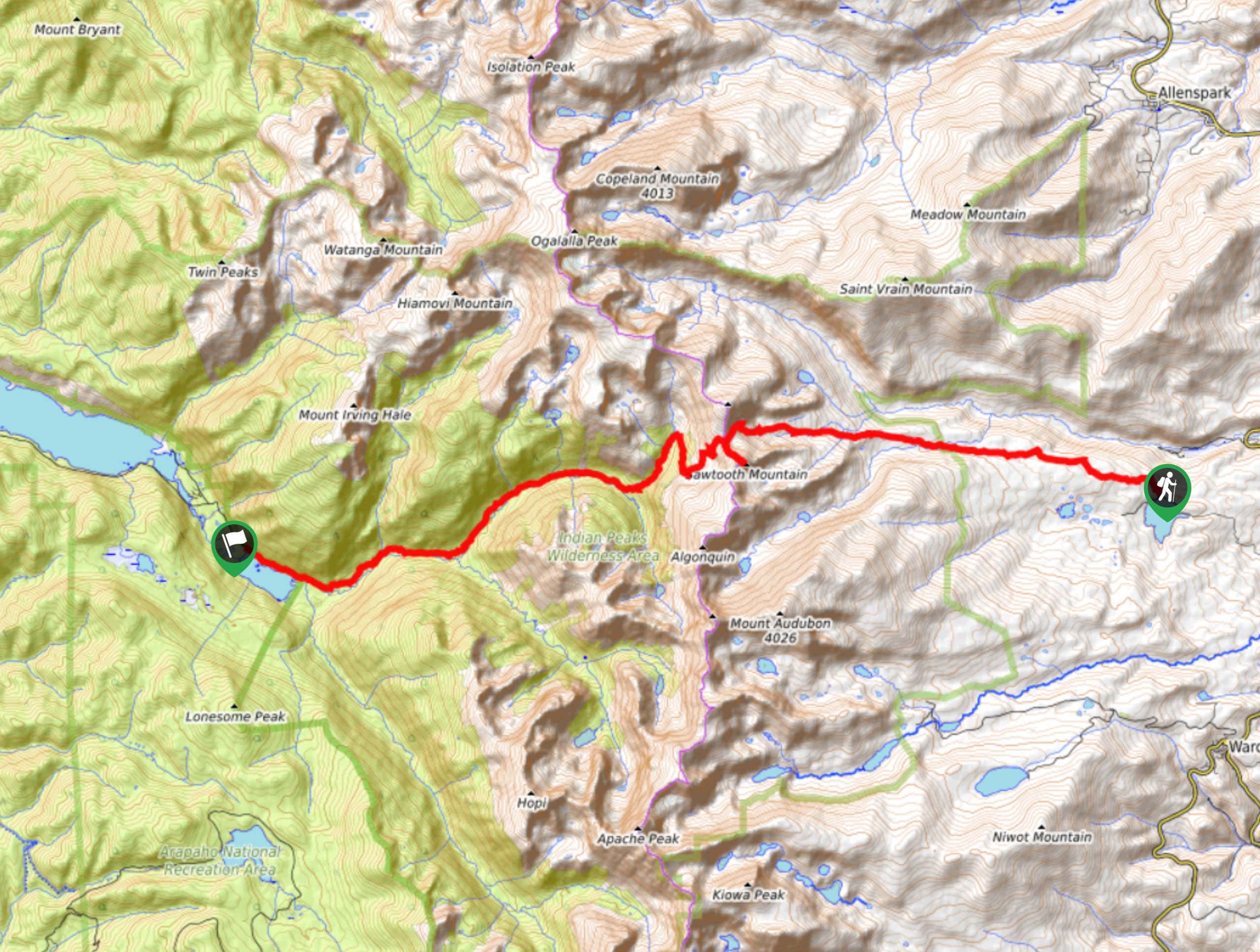
Elevation Graph
Weather
Stone Lake and Upper Lake Hike Description
This scenic hike up to Stone Lake and Upper Lake in Indian Peaks Wilderness is well worth the exertion, but we won’t kid you; this trail is steep with an extreme elevation gain—only those who are experienced hikers and crave a challenge should attempt this trail. That being said, there are plateaus throughout the climb that allow trail-goers to stop and catch their breath. With rocky passes and switchbacks, make sure you’re wearing sturdy footwear; many ankles have been rolled on loose rocks! As you ascend through the pine forest and above the tree line, be sure to keep an eye out for moose and black bears, they are no stranger to this trail! Additionally, the majority of the trail is exposed to the elements, so we recommend layering up and preparing for high winds! If you attempt this trail as a day hike, be sure to set out early!
This route will surely get your blood flowing! The Stone Lake and Upper Lake Trail hike is one for the books! You’ll hike through meadowed valleys, through pine forests dotted with wildflowers and past alpine waterfalls, all before your summit to the lakes. If you have a permit, consider making this trek into a backcountry camping expedition, allowing you to take your time and savour the journey to the lakes. Stone Lake and Upper Lake are quite isolated- great places to set up shop! Be cautious as there are bears in the area; ensure to practice packing out and proper food storage if you want to avoid visitors.
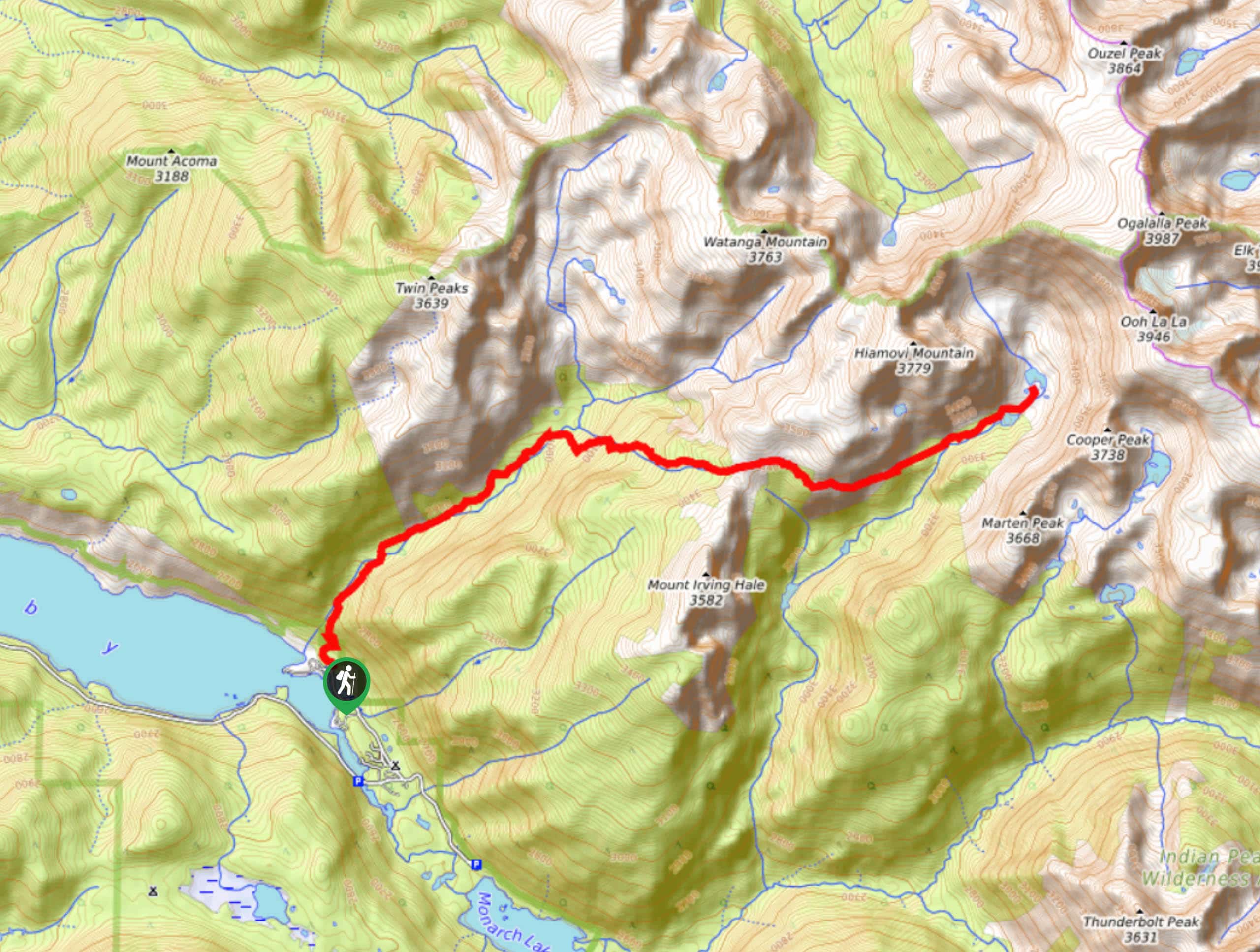
This hike begins at the Roaring Fork Trailhead off Grand Lake and is reasonably easy to follow. Stone Lake and Upper Lake are accessed via the Roaring Fork Trail. You’ll remain on this trail for the entirety of the hike. As you set out on Roaring Fork Trail, it rapidly gains elevation in the first few kilometers before a short reprieve. This section of the route is extremely rocky and there are some downed trees you will have to navigate. Follow along the trail until you encounter a junction. Well-marked, hikers can veer left onto Watanga Lake Trail. At this point, stay right and continue heading eastward on the Roaring Fork Trail.
This section of the hike becomes increasingly exposed as you gain elevation climbing the Irving Hale Pass. Check out the wildflowers in the summer months and soak in the alpine views!
Once at the Irving Hale Pass, the ascent will plateau. Make sure to catch your breath and appreciate the encompassing Indian Peaks before continuing onwards towards difficult terrain.
Here, the route will descend into Stone Lake Valley. This segment of the trail is narrow and steep, so don’t let your guard down. Be cautious of loose rocks and take it slow—this is where hiking poles are a lifesaver! Hikers will continue to maneuver the descent before arriving at the picturesque Stone Lake. Once at the lake, look east, and on a clear day, you will see the Continental Divide in the background! If you’ve still got some gas left in the tank, pursue the trail and head northeast to your final destination: Upper Lake. This secluded lake is a great location to camp if you have a permit!
This out-and-back trail is reasonably easy to navigate. On your return to the trailhead, retrace your steps following the Roaring Fork Trail once again. When you confront the intersection with Watanga Lake Trail, stay left to return to the carpark.
Frequently Asked Questions
Can dogs do this hike?
Yes, but it is not suitable for small dogs. Also be aware of the wildlife.
Can this be completed as a day hike?
Yes, though make sure to set out early as it is a lengthy hike.
Insider Hints
Bring hiking poles! These will help you navigate the steep segments of the hike.
Consider making this a backpacking trip! Stone Lake or Upper Lake are great locales to set up! Plus, if it’s a clear day you will have panoramic views of the Continental Divide.
This hike is moderately exposed, check the weather and be mindful of afternoon storms!
Similar hikes to the Stone Lake and Upper Lake Trail hike

Caribou Pass Hike
The Caribou Pass Trail scales the west side of the Continental Divide. This short but steep hike will get your…

Beaver Creek Trail
Beaver Creek Trail is a great wooded hike through the Colorado wilderness. With picturesque babbling brooks and past vast wildflower…
Beaver Reservoir to Monarch Lake Hike
Beaver Reservoir to Monarch Lake Hike is a one-way trail in the Indian Peaks Wilderness. We love this hike because…
Comments