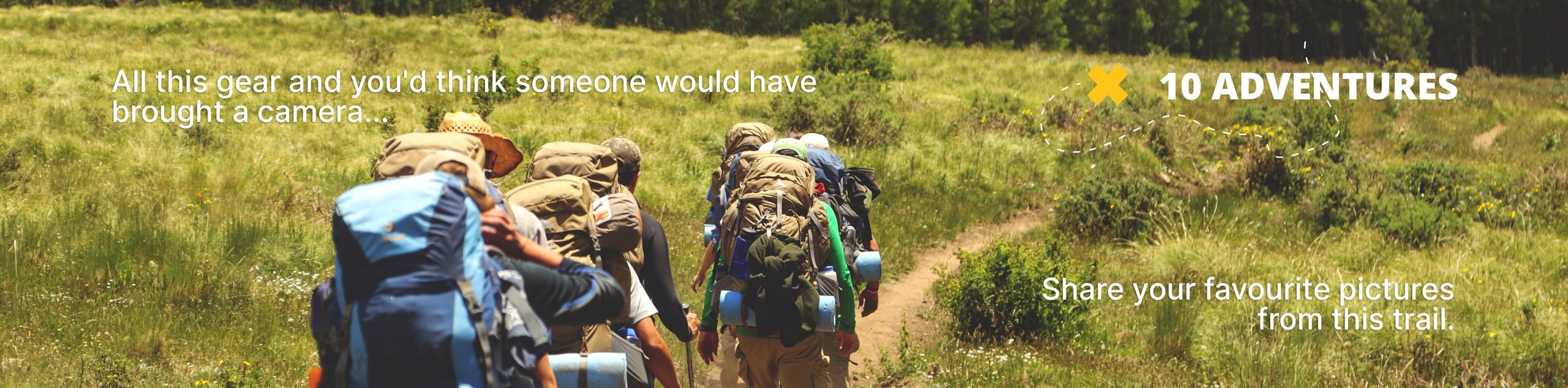
Mitchell Lake Trail
View Photos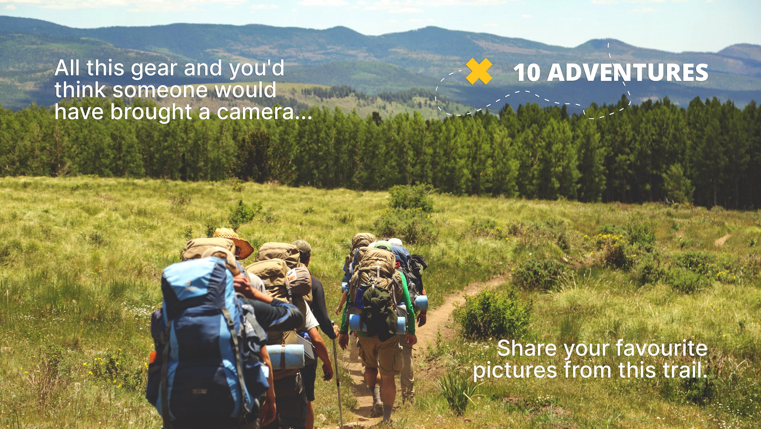
Mitchell Lake Trail
Difficulty Rating:
Mitchell Lake Trail will guide visitors through the picturesque alpine forests toward awe-inspiring views of the lake and the Indian Peaks. Suitable for hikers of all skill levels and ages, this trail is a crowd favorite! As you progress along the path be on the lookout for wildlife as hikers often encounter moose in this area. Snap a few pictures but maintain a safe distance from these large creatures!
Getting there
Mitchell Lake Trail is located in the Brainard Lake Recreational Area. Parking permits are required and can be reserved online or purchased at the kiosk on site. The trailhead and car park are located at the end of Mitchell Lake Road. Here, you will also find bathroom facilities. Note that the Brainard Lake Recreational Area and the Brainard Lake Road close in late-October until mid-June. Off-season visitors will have to park outside the Gateway and hike in, adding to their excursion.

About
| Backcountry Campground | |
| When to do | Year-Round |
| Pets allowed | Yes - On Leash |
| Family friendly | Yes |
| Route Signage | Average |
| Crowd Levels | High |
| Route Type | Out and back |
Mitchell Lake Trail
Elevation Graph
Weather
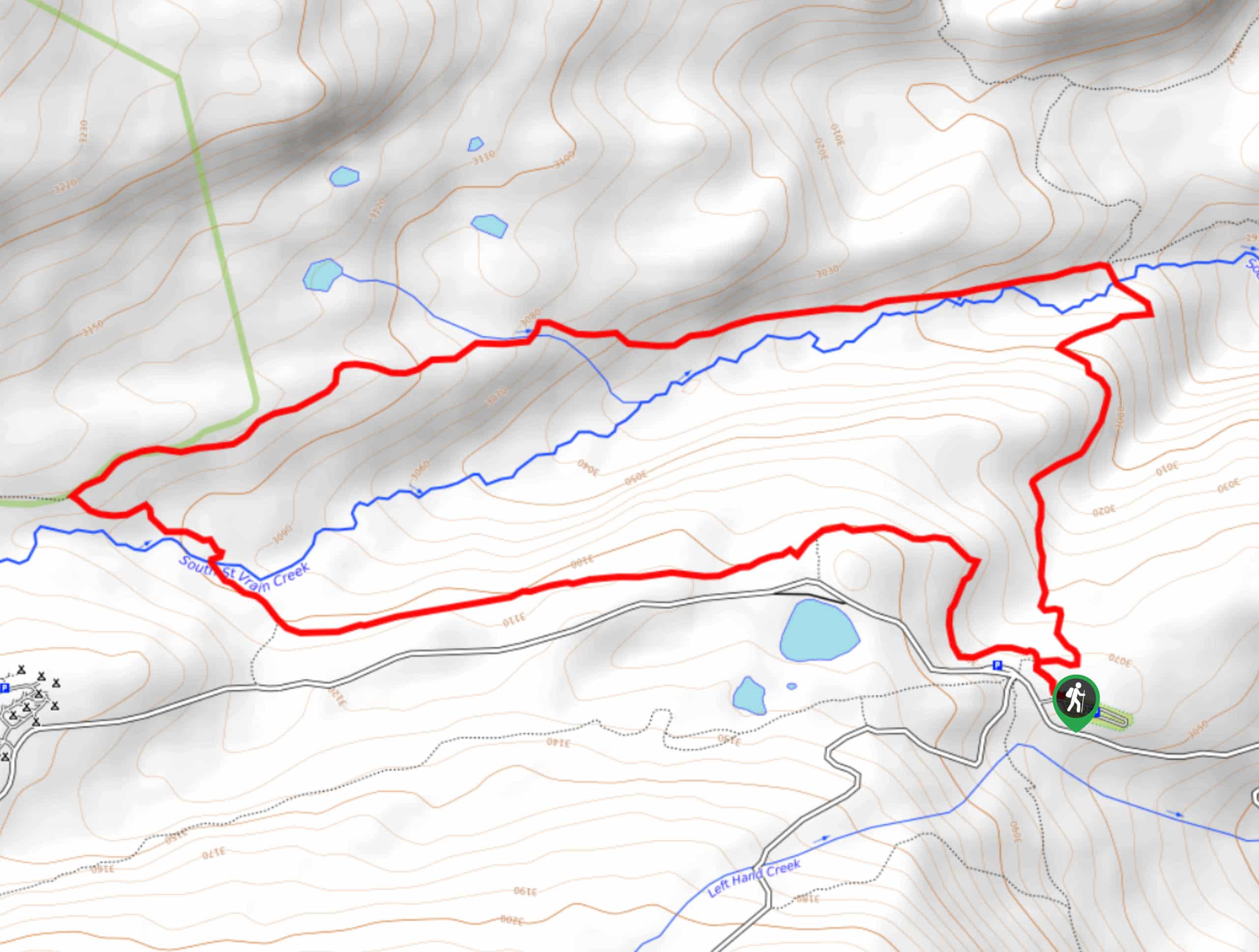
Mitchell Lake Hike Description
If you are looking for a relaxing day hike to get you outdoors, this is it! The Mitchell Lake Trail is a short trek through the forest before cresting to an amazing vantage point of Mitchell Lake. This trail has limited elevation gain and the terrain is unchallenging so children and novice hikers should be able to complete this effortlessly. Note this trail can get a bit muddy—avoid white sneakers. Although the lake itself is quite exposed, it is laden with mosquitos, so it’s best to bring some bug spray!
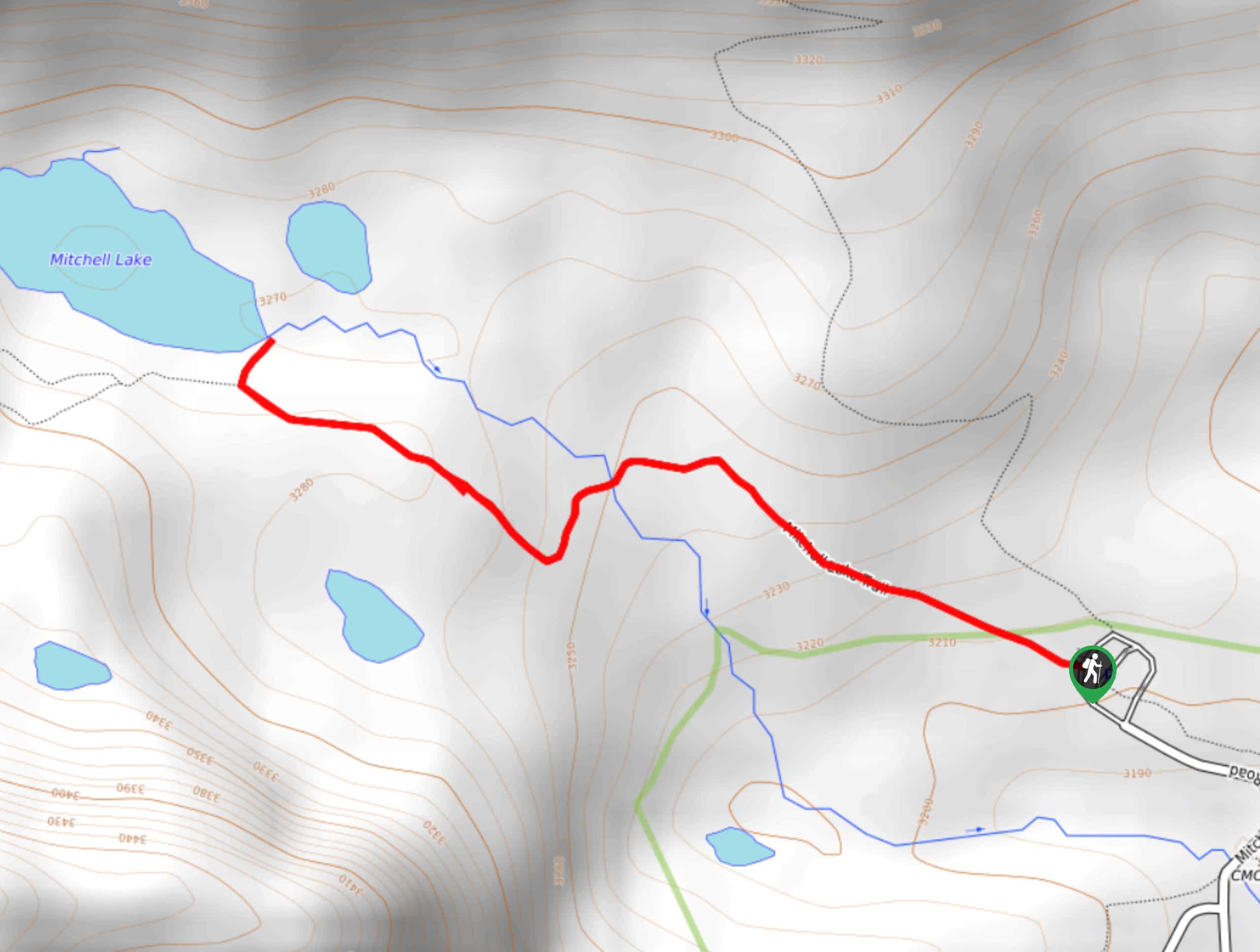
From the Mitchell Lake Carpark, enter the Mitchell Lake Trail. Continue along the wooded trail navigating roots and downed trees. As you progress, the trail will turn west. Here, you will cross a small brook by bridge. Following the trail as it curves northwest, the terrain will get increasingly rocky as you begin a gradual ascent toward the lake. Once over the ridge, Mitchell Lake will appear—this is the trail’s endpoint. Relax and enjoy the beautiful vista before retracing your steps back to the parking lot.
If you wish to extend your hike, don’t stop at the lake, instead head west continuing along the Mitchell Lake Trail. This extension will eventually bring you to Blue Lake. Note that this addition is lengthy and more strenuous, so only attempt it if you are craving a challenge.
Similar hikes to the Mitchell Lake Trail hike

Buchanan Pass Loop
The Buchanan Pass Loop is an awesome adventure trail. Adults and kids alike will enjoy this wildflower-speckled trail as it…
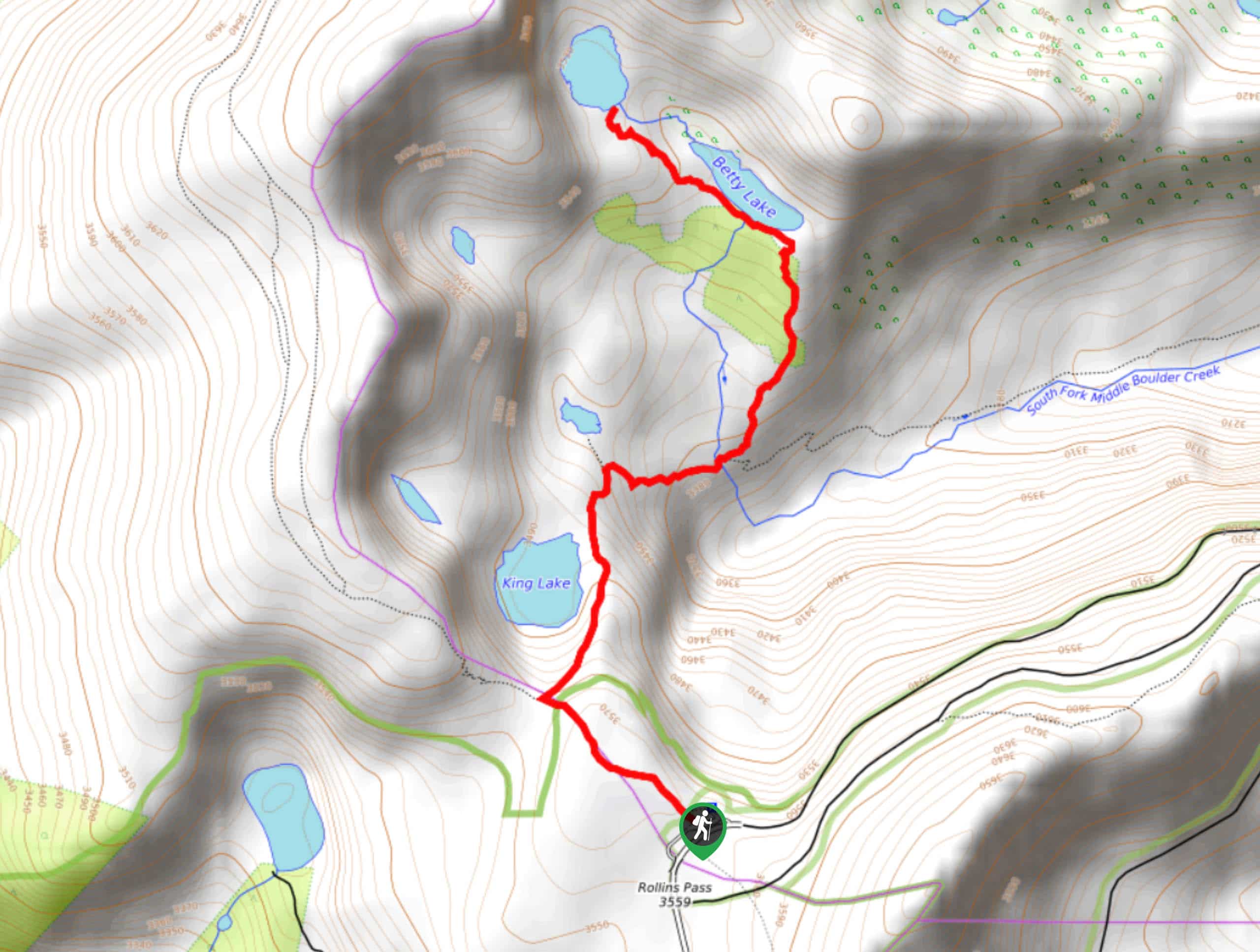
Betty and Bob Lakes via High Lonesome Trail
Betty and Bob Lakes via High Lonesome Trail is a short out-and-back trail to three of the most scenic lakes…
Sourdough Trail via South St. Vrain Hike
Looking for a relaxing hike through the lush Colorado woodlands? The Sourdough Trail via South St. Vrain Hike is a…
Comments