
Corona Lake Trail
View Photos
Corona Lake Trail
Difficulty Rating:
Adventure to the Corona Lake Trail in the James Peak Protection Area, you will not be disappointed. Flanked by the Continental Divide in the west, this short trail outshines many with its unparalleled vistas of the mountain ranges and alpine lakes. Laden with fresh streams and wildflowers, the walk to the vantage point is just as picturesque.
Getting there
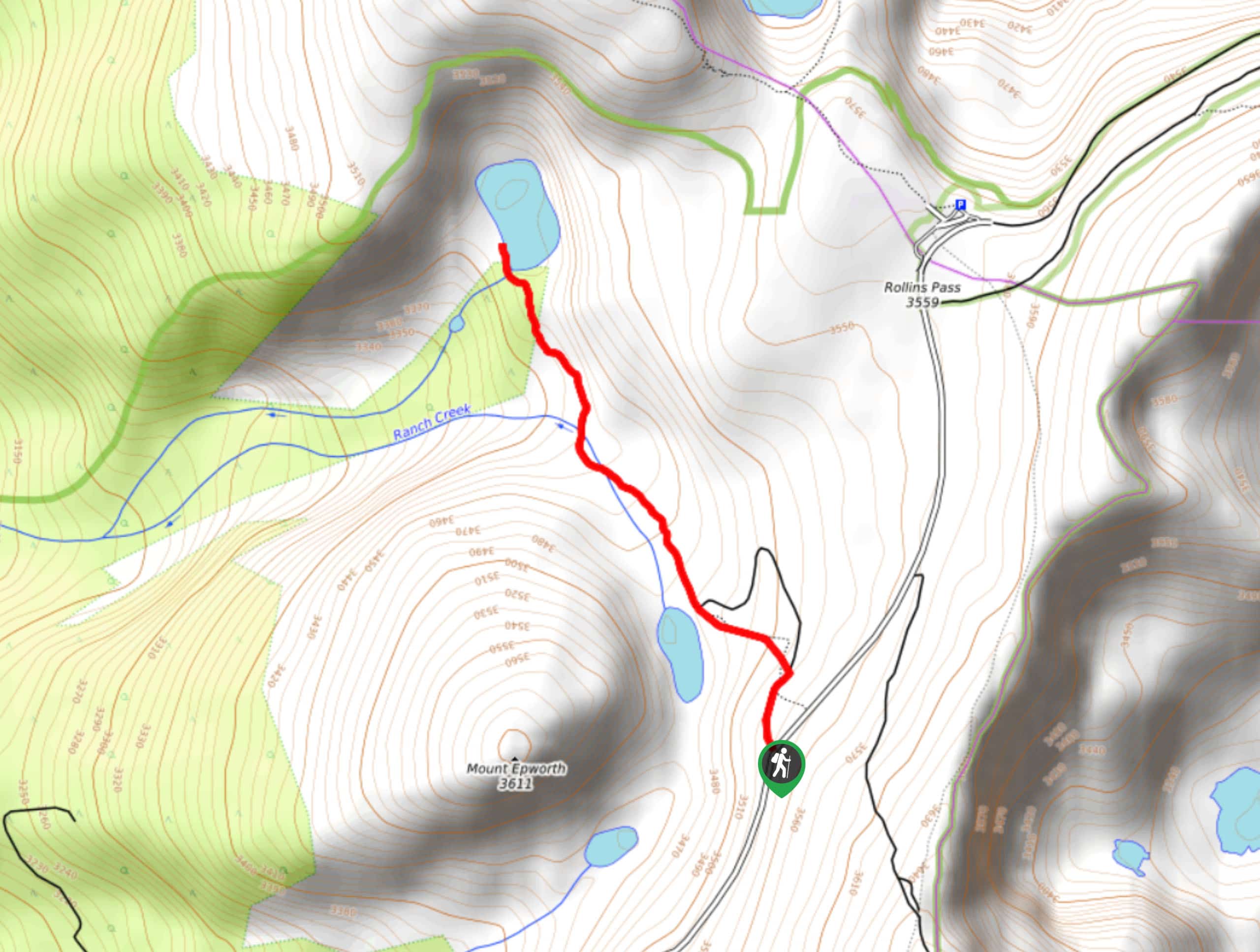
The Corona Lake Trailhead is off Rollins Pass Road. Park at the trailhead or along the side of the road. Note Rollins Pass Road closes seasonally from mid-November to mid-June.

About
| Backcountry Campground | Yes, permits required. |
| When to do | June-October |
| Pets allowed | Yes - On Leash |
| Family friendly | Yes |
| Route Signage | Average |
| Crowd Levels | Low |
| Route Type | Out and back |
Corona Lake Trail
Elevation Graph
Weather
Corona Lake Hike Description
Though the Corona Lake Hikeis relatively unchallenging, the journey to the trailhead can be tricky. The first several kilometers of Rollins Pass Road are smooth, but it soon becomes quite bumpy and washed out in areas. We recommend a truck or SUV with four-wheel drive to navigate this road; but if you decide to take your car, ensure it has enough ground clearance. Once you get to the trailhead the hike itself is leisurely and easy to follow.
From the carpark, get on Corona Lake Trail and head north. Shortly after your departure from the trailhead a junction will appear, veer left and continue straightforward on the trail. Hikers will gradually descend into an open tundra and Lake Pumphouse will soon appear on the left. This lake is bordered by Mount Epworth. Continue following the trail as it guides you over a few stream crossings before rising to a small crest. Over the ridge Lake Corona is revealed.
After relishing in the scenery of the Continental Divide and the alpine lake, retrace your steps back to the carpark.
Similar hikes to the Corona Lake Trail hike

Buchanan Pass Loop
The Buchanan Pass Loop is an awesome adventure trail. Adults and kids alike will enjoy this wildflower-speckled trail as it…
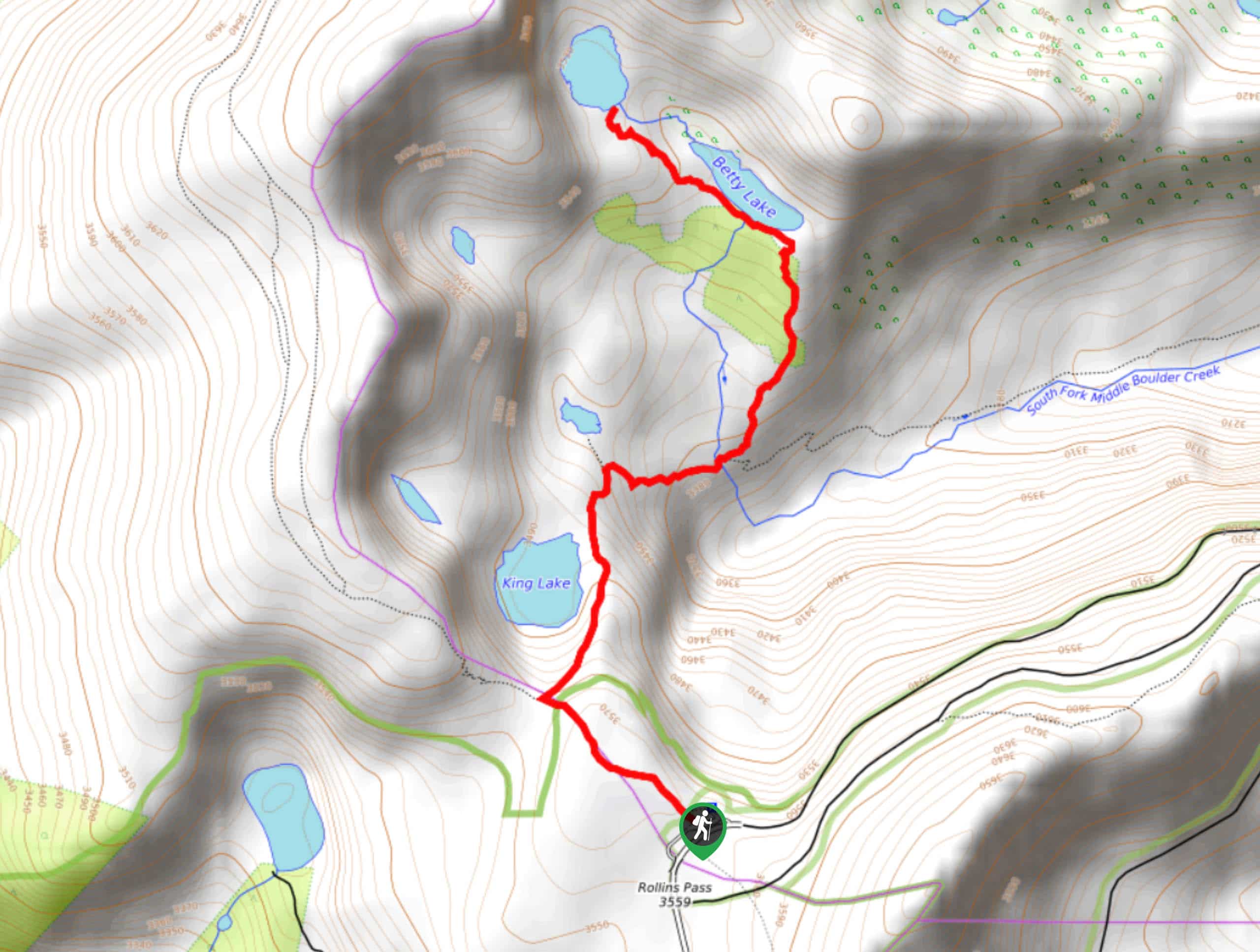
Betty and Bob Lakes via High Lonesome Trail
Betty and Bob Lakes via High Lonesome Trail is a short out-and-back trail to three of the most scenic lakes…
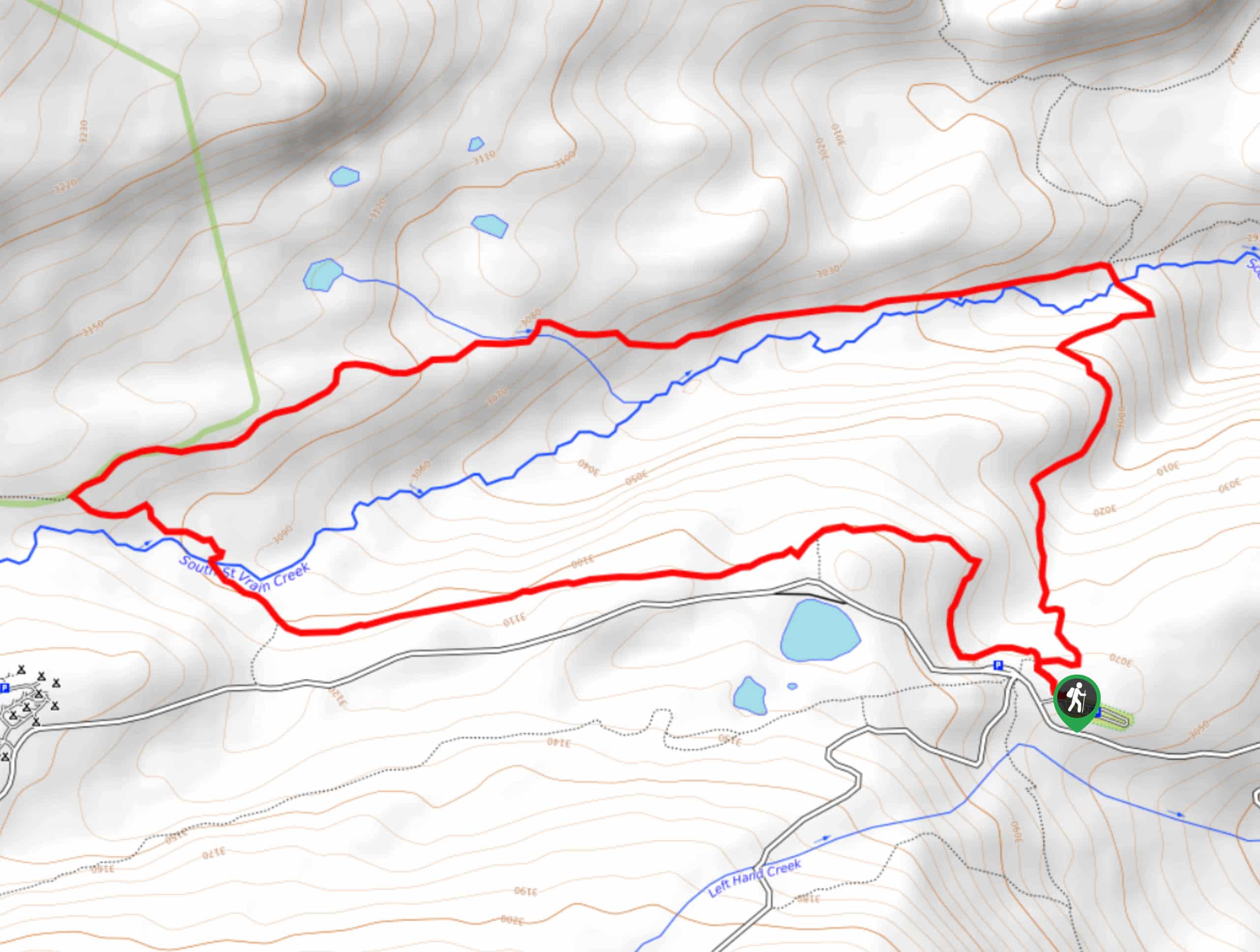
Sourdough Trail via South St. Vrain Hike
Looking for a relaxing hike through the lush Colorado woodlands? The Sourdough Trail via South St. Vrain Hike is a…
Comments