Widforss Trail
View Photos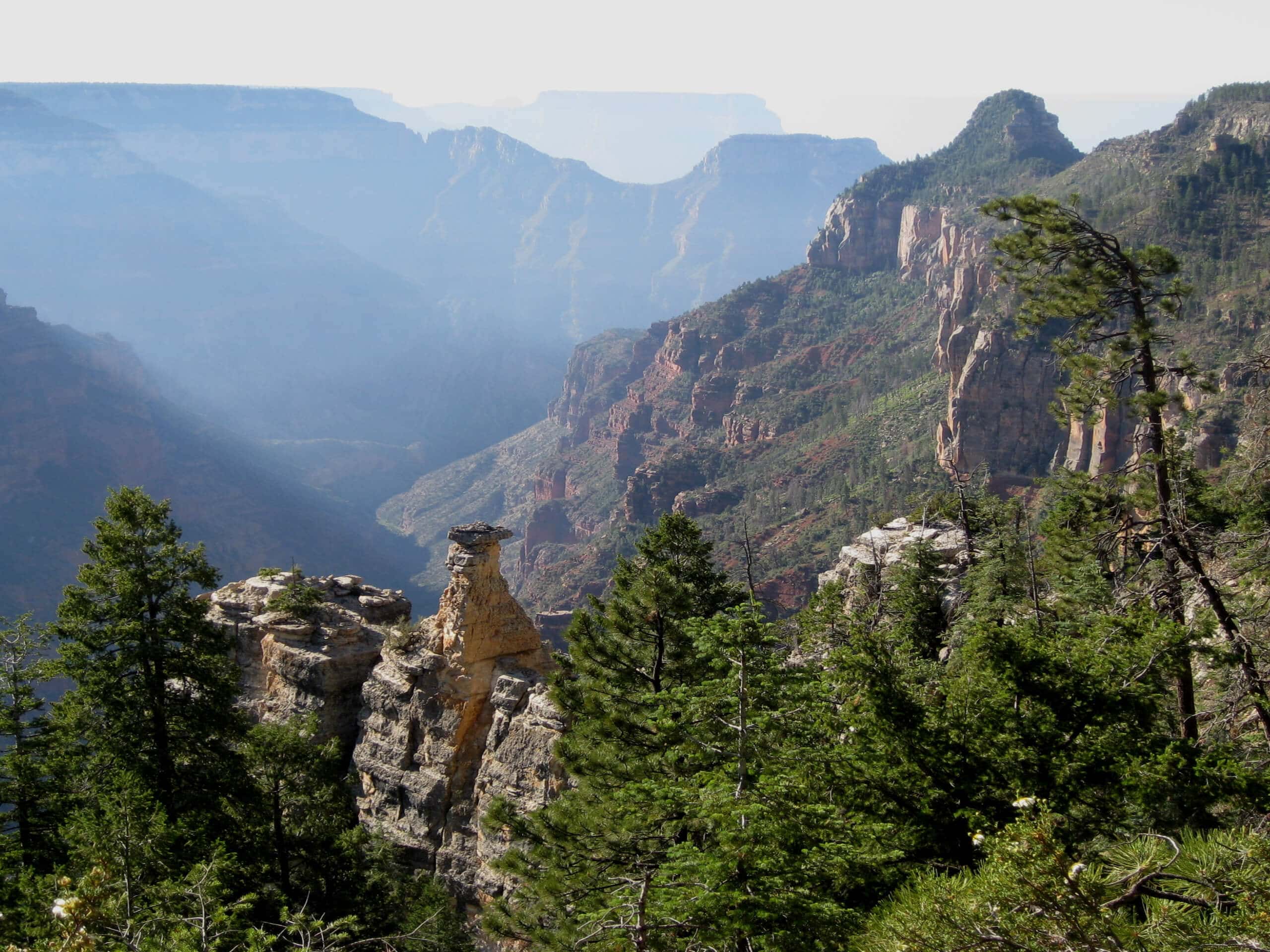
Widforss Trail
Difficulty Rating:
The Widforss Trail is a 9.0mi route on the North Rim of the Grand Canyon that takes you through the peaceful forests of the canyon to viewpoints with dramatic canyon sightlines. This trail takes a bit of fitness because of its length, but the elevation gain is inconsistent and rather gentle, so beginners should still add this one to their itineraries. Expect light to moderate traffic on this hike.
Getting there
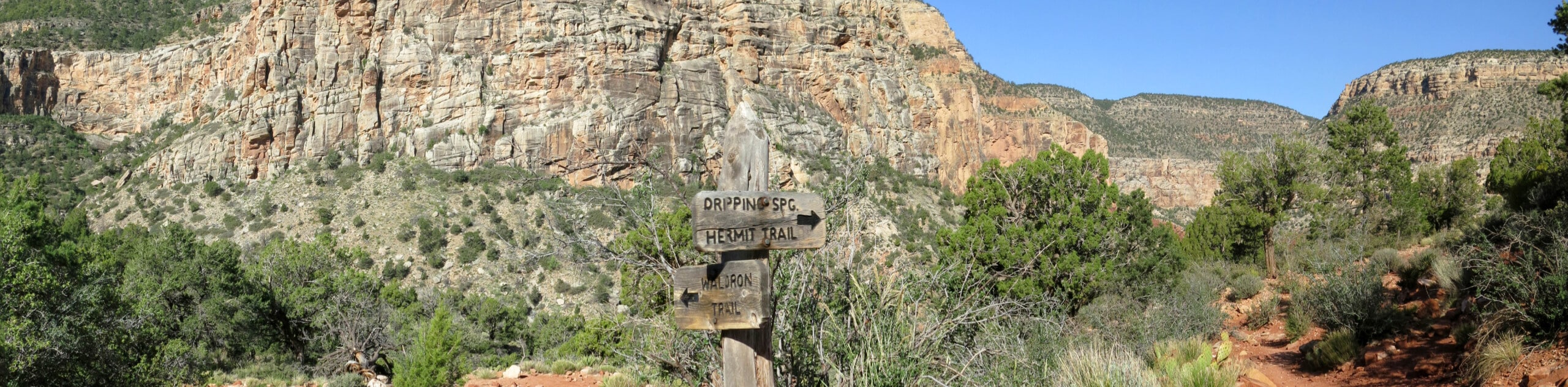
The trailhead for the Widforss Trail is on the Widforss Trail access road.

About
| Backcountry Campground | No |
| When to do | May-October |
| Pets allowed | No |
| Family friendly | Older Children only |
| Route Signage | Average |
| Crowd Levels | Moderate |
| Route Type | Out and back |
Widforss Trail
Elevation Graph
Weather
Widforss Trail Description
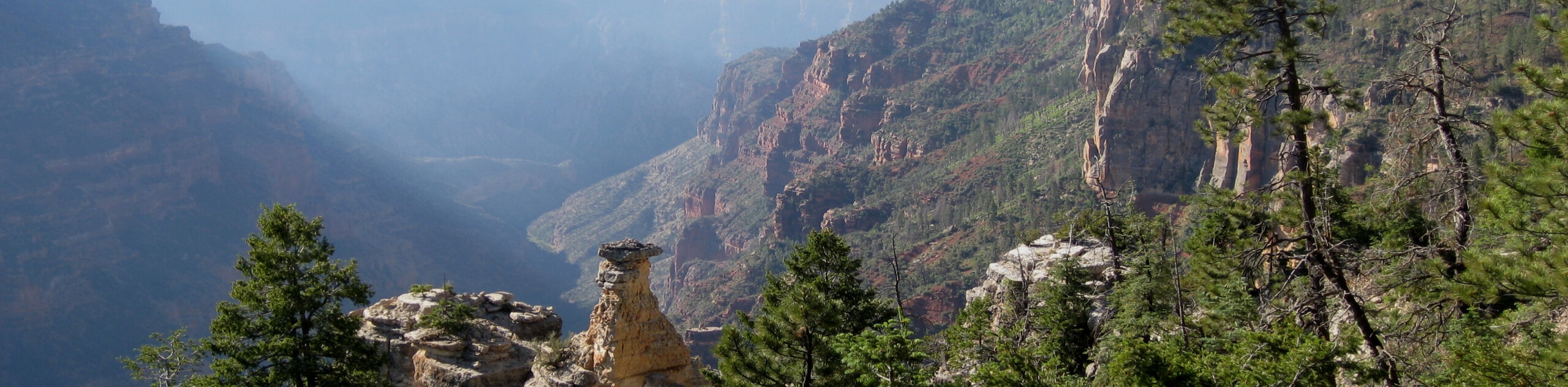
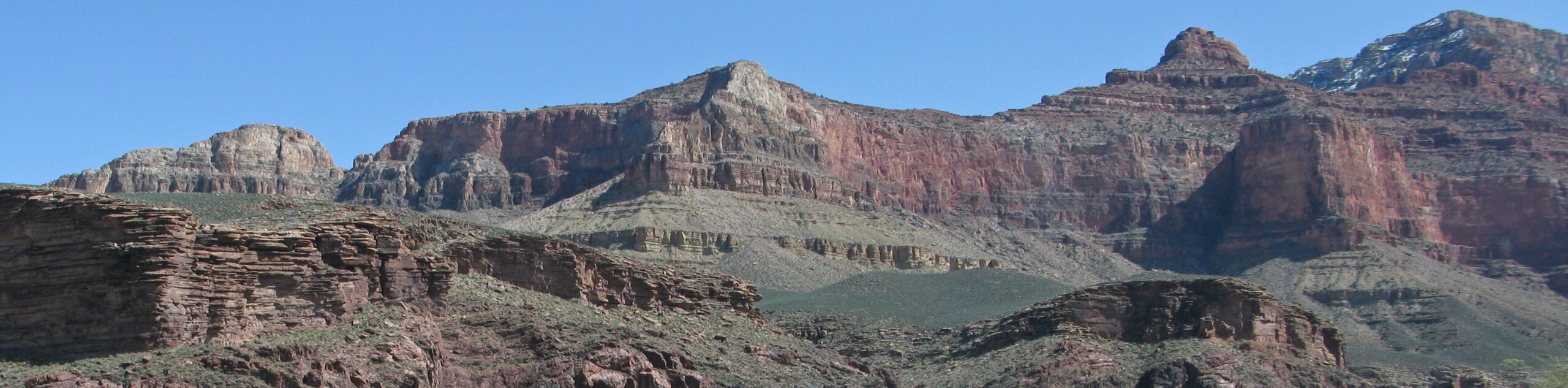
The Widforss Trail is a more relaxed adventure on the rugged North Rim of the Grand Canyon. Don’t let the mileage on this trail scare you- it’s got a forgiving elevation profile and lots of pretty viewpoints to stop into along the way. This route is suitable for all ages and skill levels and doesn’t get too busy. Bring extra layers, water, and sunscreen to prepare for the variable weather on the North Rim.
From the Widforss Trailhead, you’ll take the trail south and then west. It winds back and forth near the rim, taking you through a lovely forest. Peekaboo viewpoints appear intermittently throughout the hike, so stop in and admire the view at each new vantage point.
Pulling away from the rim, you’ll have one longer stretch through the trees until emerging at the final viewpoint right in front of Manu Temple and Buddha Temple. From here, turn around and retrace your steps to the trailhead.
Similar hikes to the Widforss Trail hike
Waldron Trail
Waldron Trail is a hiking trail on the South Rim of the Grand Canyon that’s a bit of a hidden…
Powell Plateau Trail
Powell Plateau Trail is a hiking trail in the northwestern arm of the Grand Canyon. This spot in the canyon…
Indian Garden Campground via Bright Angel Trail
Of all places to camp, the Grand Canyon is a pretty hard one to beat, to say the absolute least.…
Comments