Colorado River via South Canyon Trail
View Photos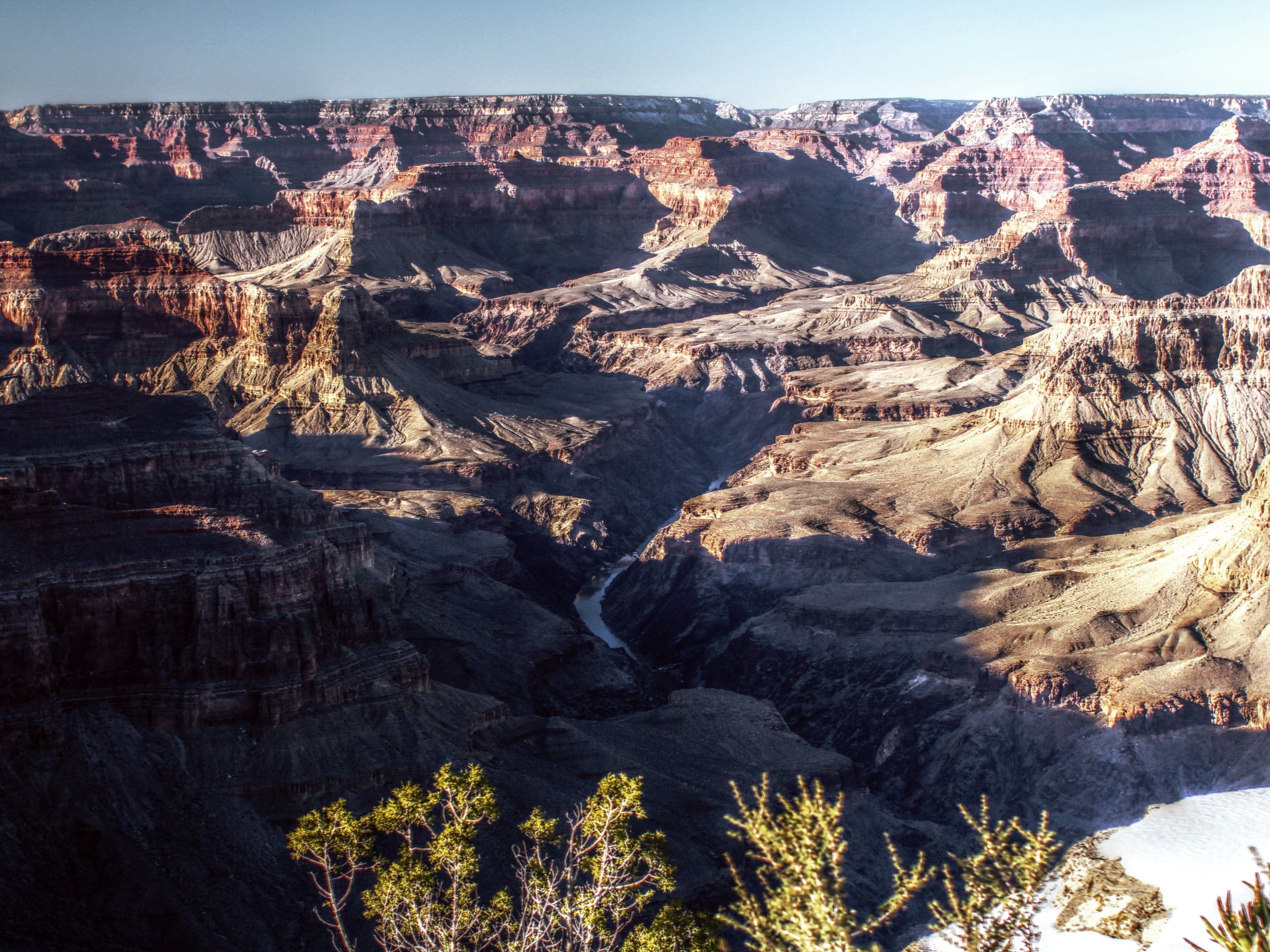
Colorado River via South Canyon Trail
Difficulty Rating:
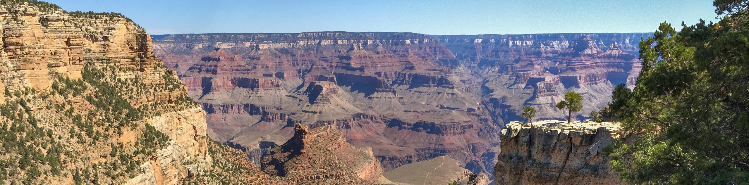
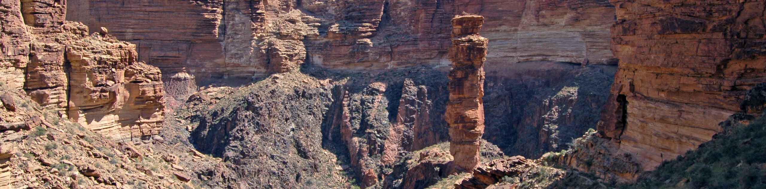
The hike to the Colorado River via South Canyon Trail is an exciting adventure that leads you from rim to river almost ad quickly as you can get there. This hike starts at the remote North Rim of the Grand Canyon and descends a steep slope with the occasional scramble required. It’s a tough hike both technically and in terms of elevation change, so make sure you come prepared. Expect light traffic.
Getting there
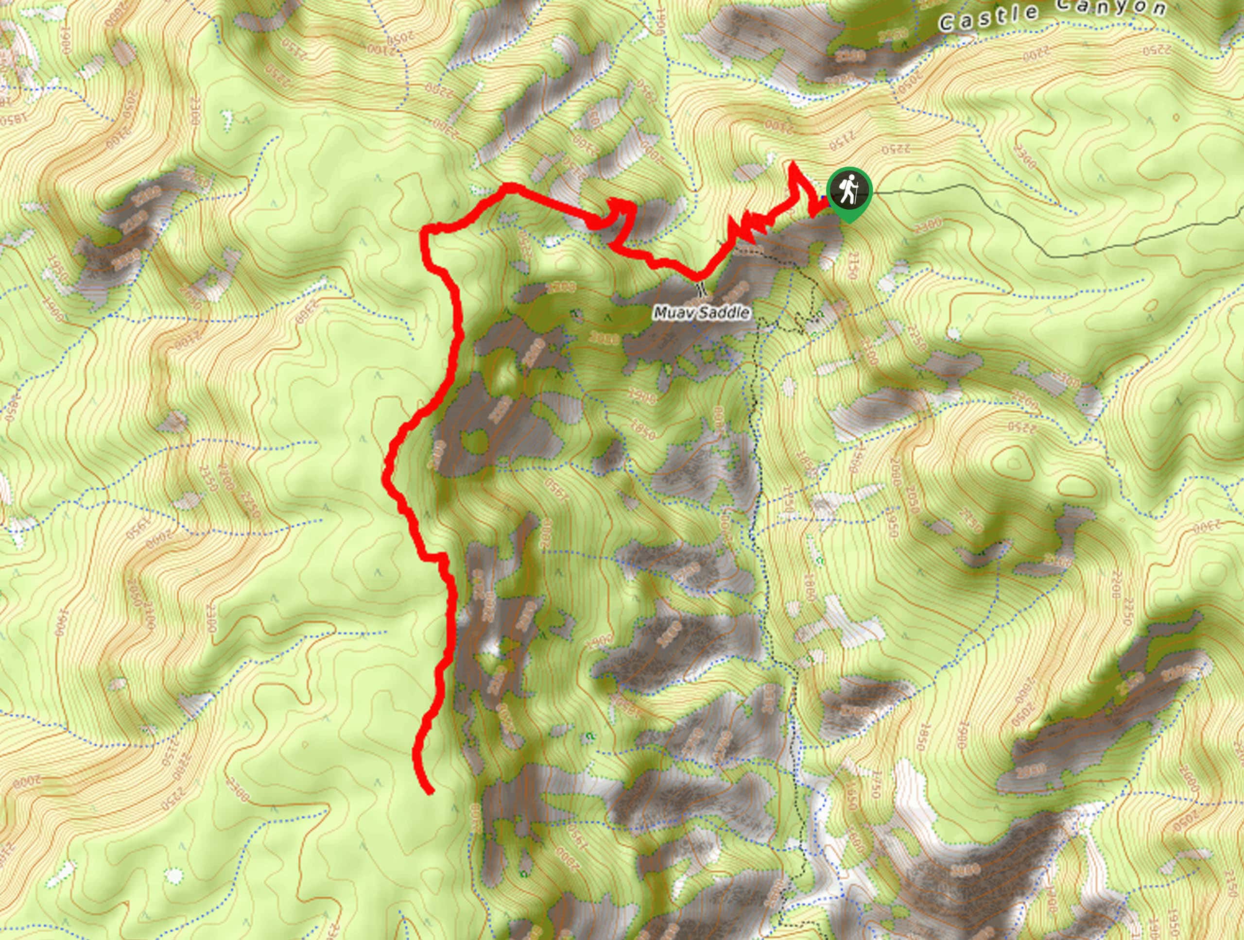
The trailhead for the Colorado River via South Canyon Trail is at the end of NF 632.

About
| Backcountry Campground | No |
| When to do | March-November |
| Pets allowed | No |
| Family friendly | No |
| Route Signage | Average |
| Crowd Levels | Low |
| Route Type | Out and back |
Colorado River via South Canyon Trail
Elevation Graph
Weather
Colorado River via South Canyon Trail Description
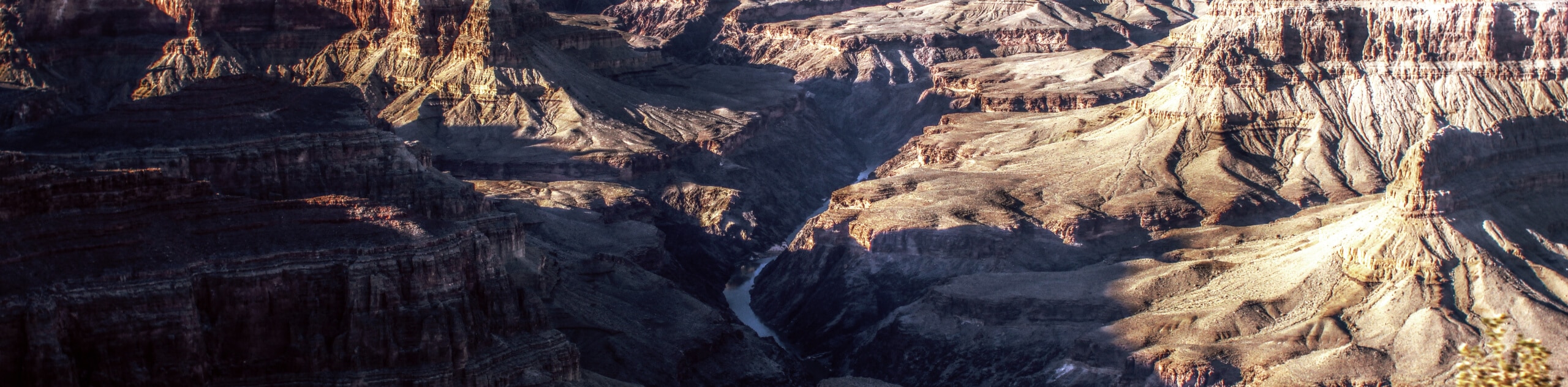
To get from rim to river and back in a day, the hike to the Colorado River on South Canyon Trail is an adventurous option that will challenge your endurance and scrambling skills. This remote North Rim route sees very little traffic, so come prepared with lots of water, good boots, poles, and a GPS track. This route can be dangerous if you get off track, so good routefinding skills are essential!
We recommend this route for strong hikers who are comfortable with a bit of hands-on climbing. Consider bringing gloves and long pants to protect yourself from the sharp rocks. If you’re solo, you may wish to have a rope to lower your backpack with. Since there’s no water on the way down, bring lots with you.
From the trailhead, the route dips down over the rim to complete a steep descent to a gully. Watch for stacked rocks marking the way. It then follows a sandy dry creekbed east through a canyon to the Colorado River. On the banks of the river, you can either turn around here to or hike a few steps south to find Vaseys Paradise. Rest up in front of this amazing vista before retracing your steps to the trailhead.
Similar hikes to the Colorado River via South Canyon Trail hike
Powell Plateau Trail
Powell Plateau Trail is a hiking trail in the northwestern arm of the Grand Canyon. This spot in the canyon…
1.5-Mile Resthouse via Bright Angel Trail
The hike to the 1.5-Mile Resthouse on Bright Angel Trail is a nice compromise for hikers who want a little…
Hermit Camp to Monument Creek Camp via Tonto Trail
This guide follows a portion of Tonto Trail from Hermit Camp to Monument Creek Camp. This is a 6.3mi
Comments