Grand Canyon Greenway Trail
View Photos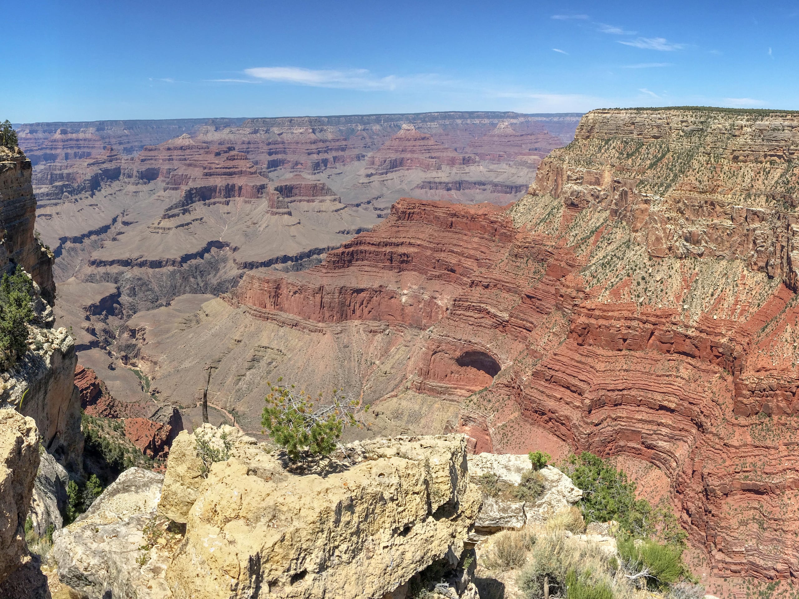
Grand Canyon Greenway Trail
Difficulty Rating:
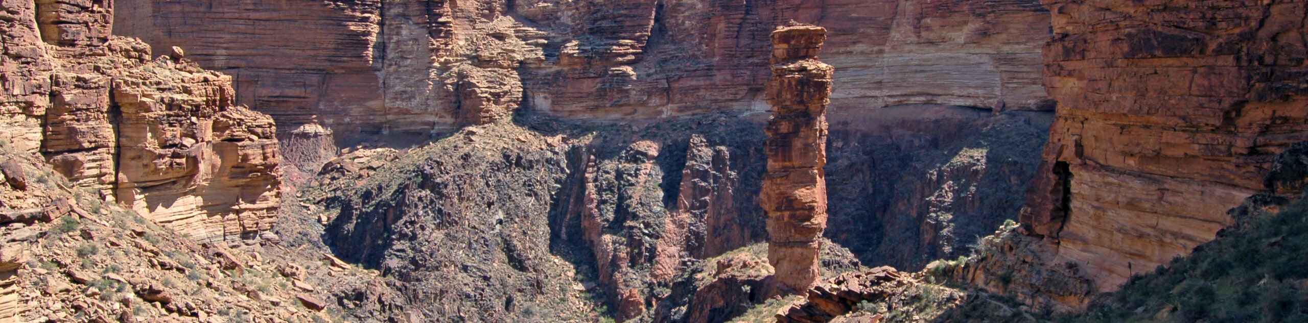
The Grand Canyon Greenway Trail is a 13.0mi route that connects the town of Tusayan (the closest town to the Grand Canyon) with the Grand Canyon. If you want to bike, rollerblade, or walk your way into the canyon instead of driving, the Greenway is the way. This route is easy enough for all skill levels and offers a nice amount of shade. It’s paved the entire way. Expect moderate traffic.
Getting there
The trailhead for the Grand Canyon Greenway Trail is behind the Pizza Hut and Imax on Canyon Plaza Lane.

About
| Backcountry Campground | No |
| When to do | Year-round |
| Pets allowed | No |
| Family friendly | Yes |
| Route Signage | Average |
| Crowd Levels | Moderate |
| Route Type | One Way |
Grand Canyon Greenway Trail
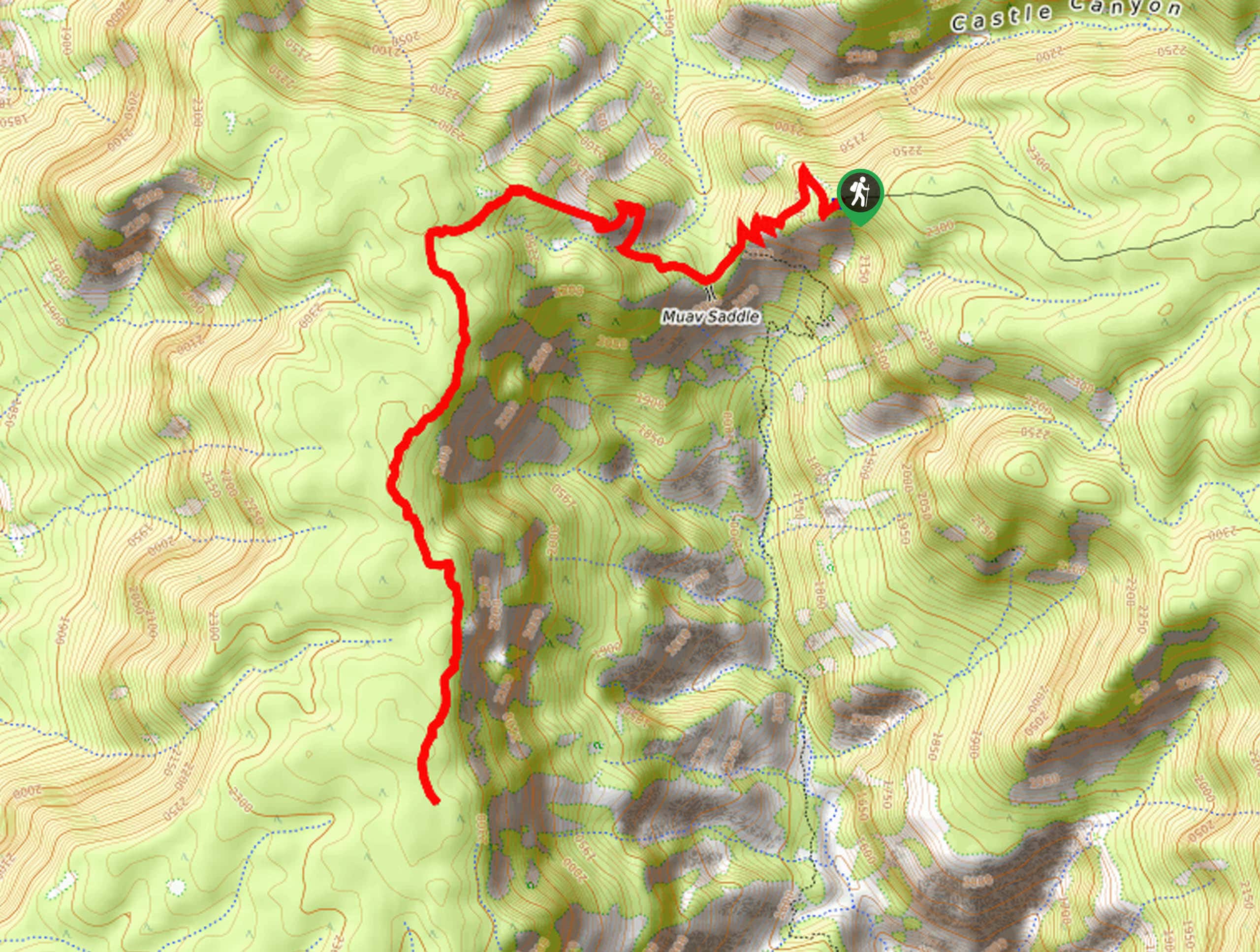
Elevation Graph
Weather
Grand Canyon Greenway Trail Description
The Grand Canyon Greenway Trail is a 13.0mi paved walking and biking path that connects Tusayan and the Grand Canyon. It begins behind the theater in Tusayan and ends with an east-west stretch on the South Rim of the Grand Canyon. Bikers, rollerbladers, wheelchairs, and hikers can all use this route to access the Grand Canyon without a car. There is a consistent gentle incline from Tusayan to the canyon.
Pedal underneath ponderosa pines, pinyon, and juniper trees. As you go, watch for bighorn sheep, deer, and foxes. If you’re lucky, you might even spot a condor! The route dips towards and away from the road as it goes. Once you cross through the gates (you’ll still need a park pass, but enjoy cruising past all the cars in line), the route splits just before the visitor center. You can hike east and west to the village and as far as the South Kaibab Trailhead. This is where the route ends.
Similar hikes to the Grand Canyon Greenway Trail hike
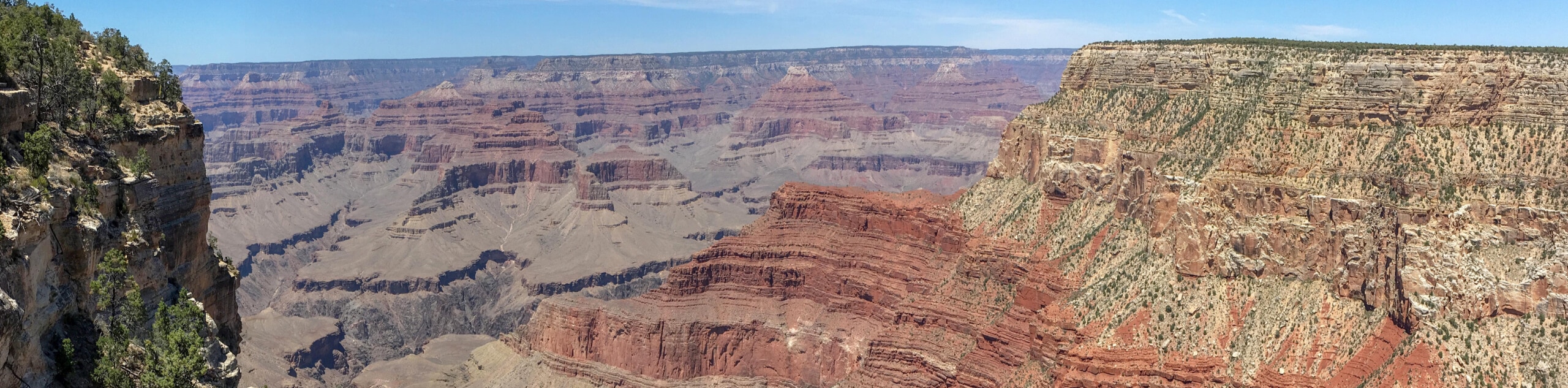
Powell Plateau Trail
Powell Plateau Trail is a hiking trail in the northwestern arm of the Grand Canyon. This spot in the canyon…
1.5-Mile Resthouse via Bright Angel Trail
The hike to the 1.5-Mile Resthouse on Bright Angel Trail is a nice compromise for hikers who want a little…
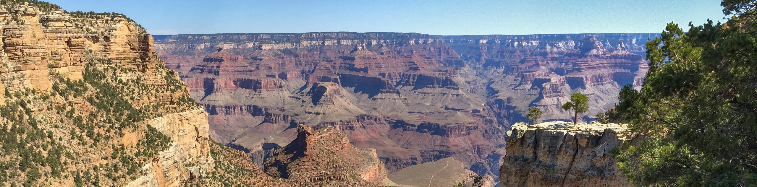
Hermit Camp to Monument Creek Camp via Tonto Trail
This guide follows a portion of Tonto Trail from Hermit Camp to Monument Creek Camp. This is a 6.3mi
Comments