Ken Patrick Trail South via Point Imperial
View Photos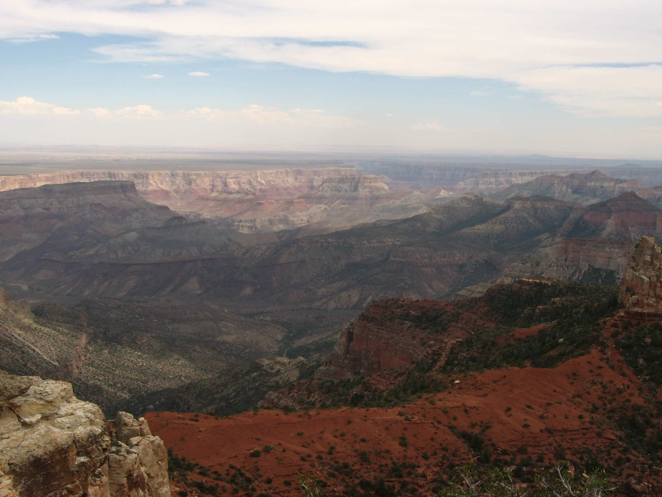
Ken Patrick Trail South via Point Imperial
Difficulty Rating:
Hiking to Ken Patrick Trail South from Point Imperial gives you two stunning viewpoints to appreciate on one hike. This route is awesome if you’re alright with a longer trail and want the full North Rim experience. To make this more doable in a day, consider planning for a car shuttle or hiking a portion of this route instead of the full distance. Expect moderate traffic and the need for a bit of routefinding.
Getting there
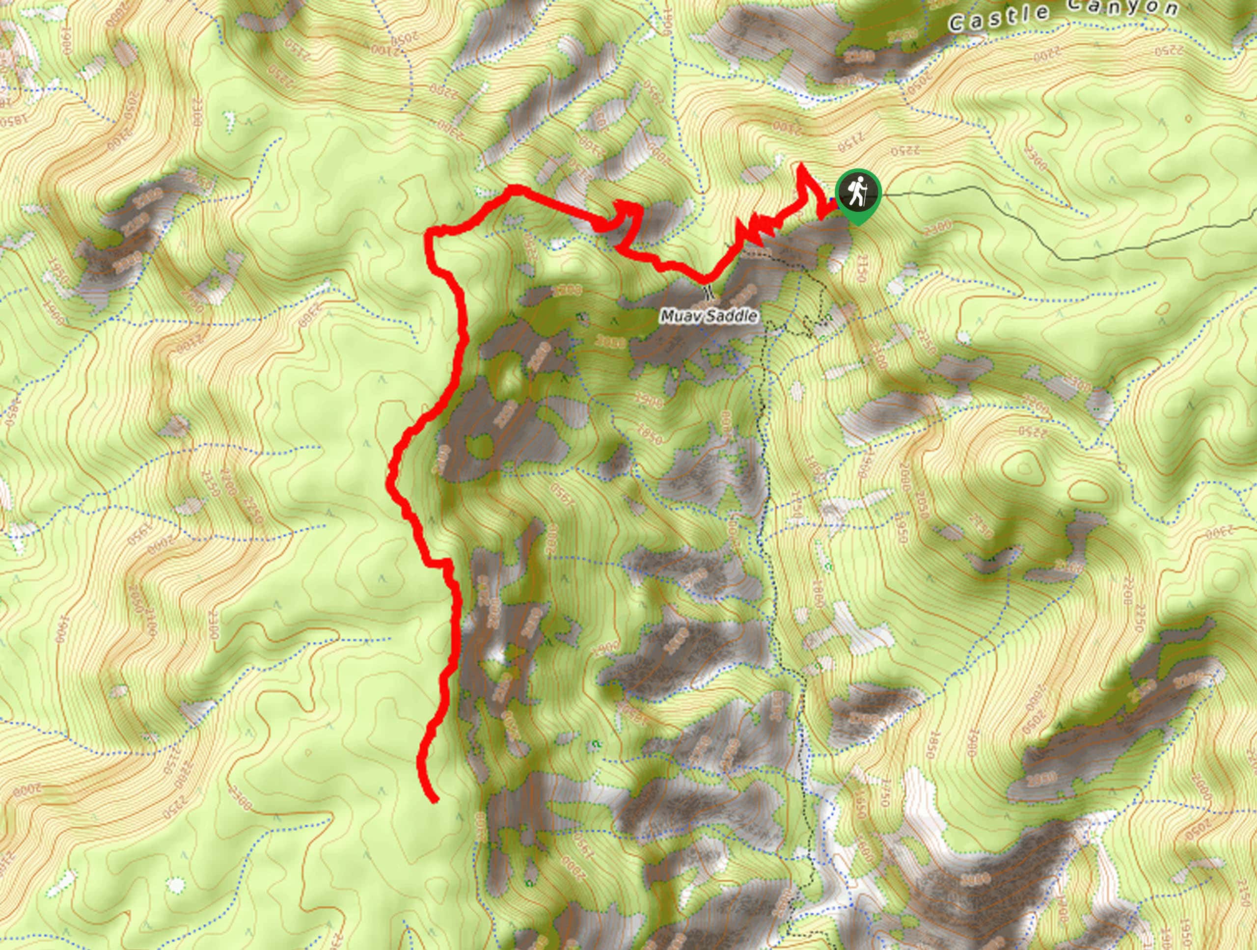
The trailhead for Ken Patrick Trail South via Point Imperial is at the end of Point Imperial Road.

About
| Backcountry Campground | No |
| When to do | April-November |
| Pets allowed | No |
| Family friendly | No |
| Route Signage | Poor |
| Crowd Levels | Moderate |
| Route Type | One Way |
Ken Patrick Trail South via Point Imperial
Elevation Graph
Weather
Ken Patrick Trail South via Point Imperial Description
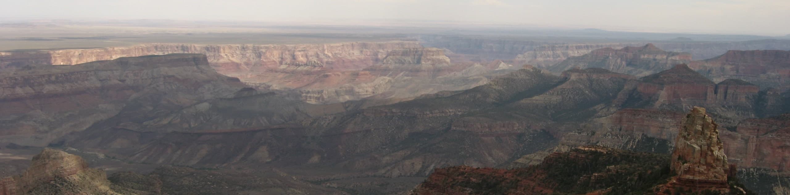
Ken Patrick Trail South via Point Imperial is a fun North Rim adventure that lets you appreciate two stellar viewpoints in one hike. This route is packed with views, although it can be a little tough to follow at times. A GPS track will go a long way with this one.
Because this is a point-to-point hike that would make for a very long out and back trip, we recommend planning for a car shuttle at each end of the route or hiking just a portion of this route if you’re wanting a quicker day trip. You can go as far as you like before turning back and retracing your steps.
From the trailhead at Point Imperial, the route hugs the edge of the rim, passing Sullivan Peak, Mount Hayden, and Kibbey Butte. Where Cape Royal Road intersects, you’ll begin to curve right to head away from the rim. Stay right where Uncle Jim Trail intersects, then arrive at the end of the trail not far from the North Rim Campground.
Similar hikes to the Ken Patrick Trail South via Point Imperial hike
Deer Creek to Colorado River Hike
The Deer Creek to Colorado River hike is a very challenging 18.0mi hike that leads you from the…
Waldron Trail
Waldron Trail is a hiking trail on the South Rim of the Grand Canyon that’s a bit of a hidden…
Powell Plateau Trail
Powell Plateau Trail is a hiking trail in the northwestern arm of the Grand Canyon. This spot in the canyon…
Comments