Cypress Point Vista via North Kaibab Trail
View Photos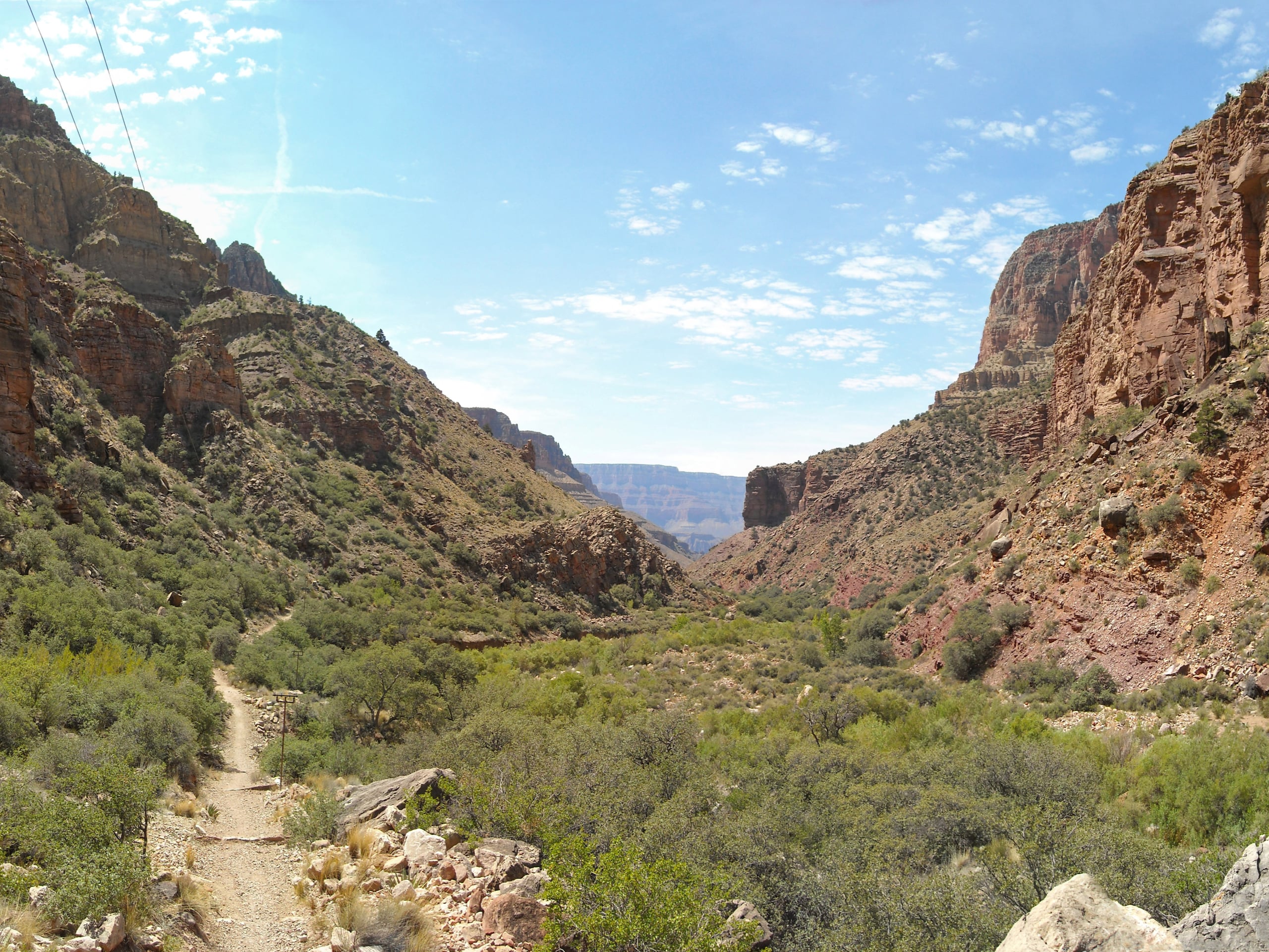
Cypress Point Vista via North Kaibab Trail
Difficulty Rating:
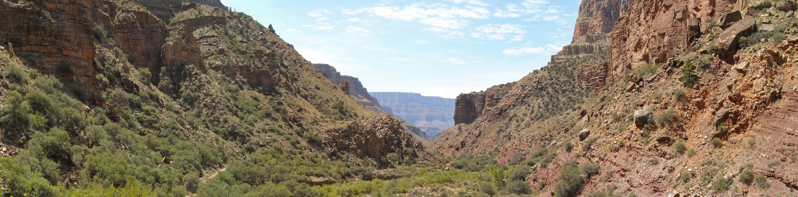
The North Rim of the Grand Canyon is a rugged, jaw-dropping hiking destination that mostly escapes the crowds that the South Rim sees. What it doesn’t skip out on is dazzling hiking trails with scenery not found anywhere else. The hike to Cypress Point is a hard trip with varied terrain, from suspension bridges to tunnels and cliffside stretches. Expect heavy traffic on this route.
Getting there
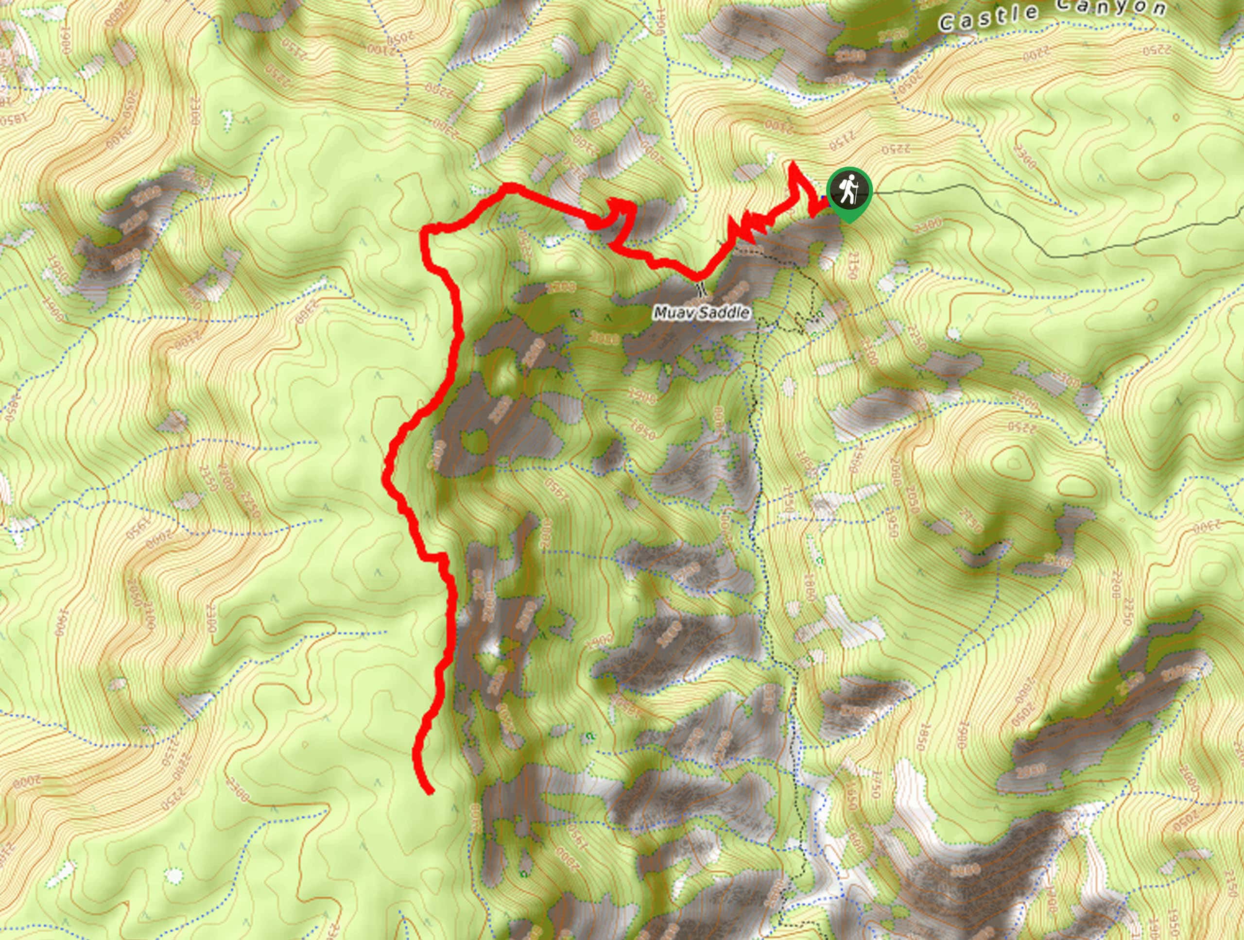
The trailhead for Cypress Point Vista via North Kaibab Trail is off Grand Canyon Highway.

About
| Backcountry Campground | No |
| When to do | April-October |
| Pets allowed | No |
| Family friendly | No |
| Route Signage | Good |
| Crowd Levels | High |
| Route Type | Out and back |
Cypress Point Vista via North Kaibab Trail
Elevation Graph
Weather
Cypress Point Vista via North Kaibab Trail Description
The North Rim of the Grand Canyon is a less-visited gem for hikers who want all the scenery with far lighter crowds. The hike to the Cypress Point Vista on North Kaibab Trail is a 6.5-mile adventure that leads you through unforgettable scenery as you scale down the wall of this mighty canyon.
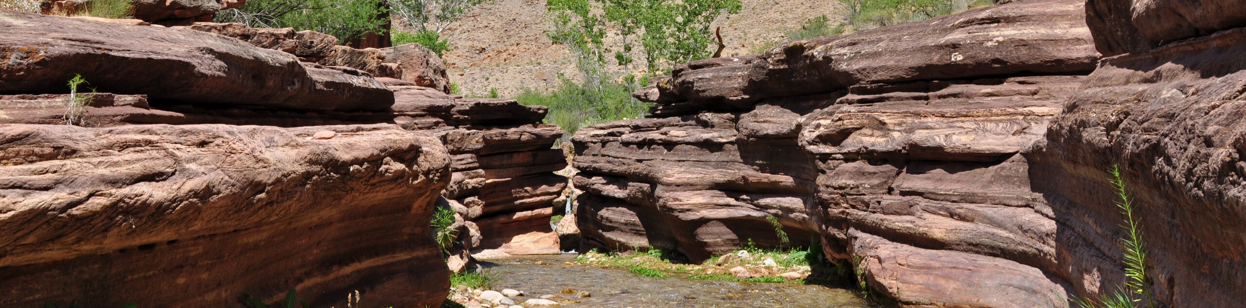
You’ll pass breathtaking viewpoints, hike through tall tunnels blasted into the rock, and teeter on high suspension bridges.
There is a water station on this trail, but we still recommend bringing a large reservoir to help with the steep ascent. Poles and good boots will be helpful, and you should prepare for the varied weather at the North Rim. It can be very hot in the summer and very snowy in the winter.
From the trailhead, you’ll descend down into Bright Angel Canyon. Three-quarters of a mile in, stop at the Coconino Overlook to look down into the Roaring Springs Canyon. From here, it’s on to the Supai Tunnel, where there’s a water station and rest stop. Take a set of switchbacks downhill.
3.4mi in, cross the Redwall Footbridge to get to the west side of the canyon. Past the bridge, you’ll hike a dizzying narrow ridge along the canyon wall. This trail was also blasted out of the rock, and it’s quite amazing. The viewpoint is along this part of the trail. From here, it’s back to the trailhead the same way you came down.
Similar hikes to the Cypress Point Vista via North Kaibab Trail hike
Deer Creek to Colorado River Hike
The Deer Creek to Colorado River hike is a very challenging 18.0mi hike that leads you from the…
Waldron Trail
Waldron Trail is a hiking trail on the South Rim of the Grand Canyon that’s a bit of a hidden…
Powell Plateau Trail
Powell Plateau Trail is a hiking trail in the northwestern arm of the Grand Canyon. This spot in the canyon…
Comments