Bright Angel Point hike
View Photos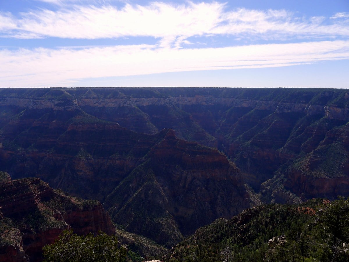
Bright Angel Point hike
Difficulty Rating:
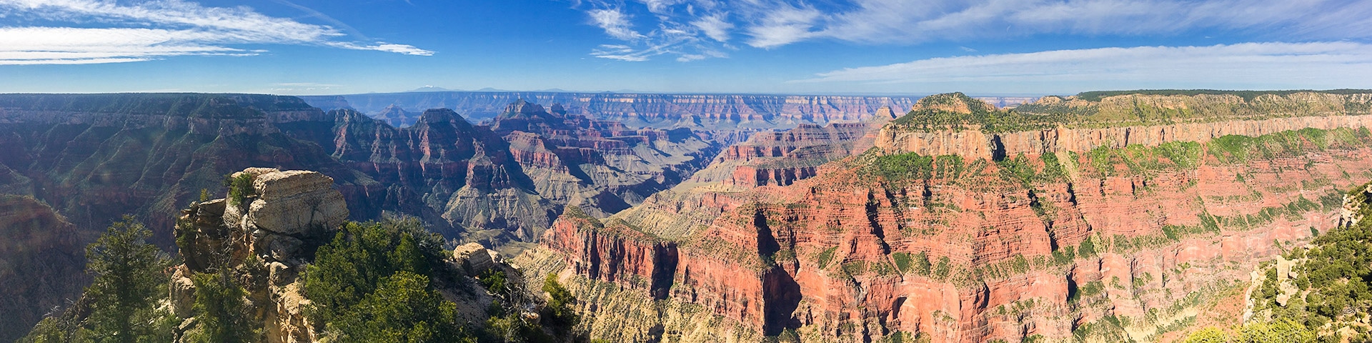
This popular trail leads from the North Rim Visitors Centre to the scenic Bright Angel Point over a paved path with minimal elevation gain. This is a perfect short trip for all levels of hikers, offering spectacular panoramic views.
Getting there
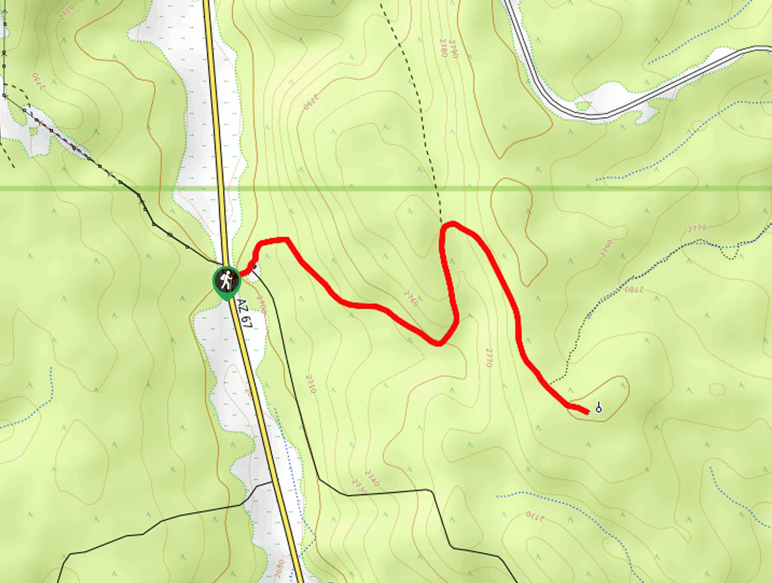
From the north entrance to the park, follow the highway towards the visitors centre and Lodge until it’s terminus. Park in the parking lot to the left shortly before arriving at the visitors centre.

About
| When to do | Spring and Fall, avoid summer heat |
| Backcountry Campsites | None |
| Toilets | At trailhead |
| Family friendly | Yes |
| Route Signage | Average |
| Crowd Levels | High |
| Route Type | Out and back |
Bright Angel Point
Elevation Graph
Weather
Route Description for Bright Angel Point
From the parking lot head towards the visible rim of the Grand Canyon. From here follow the flat dirt path to the right, towards the cabins and visitor centre. As you hike you will pass by the visitors centre, after which you will come to a small junction.
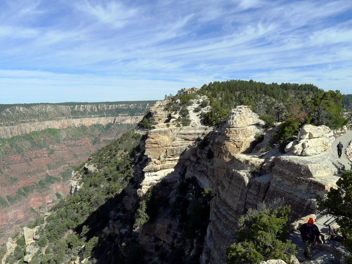
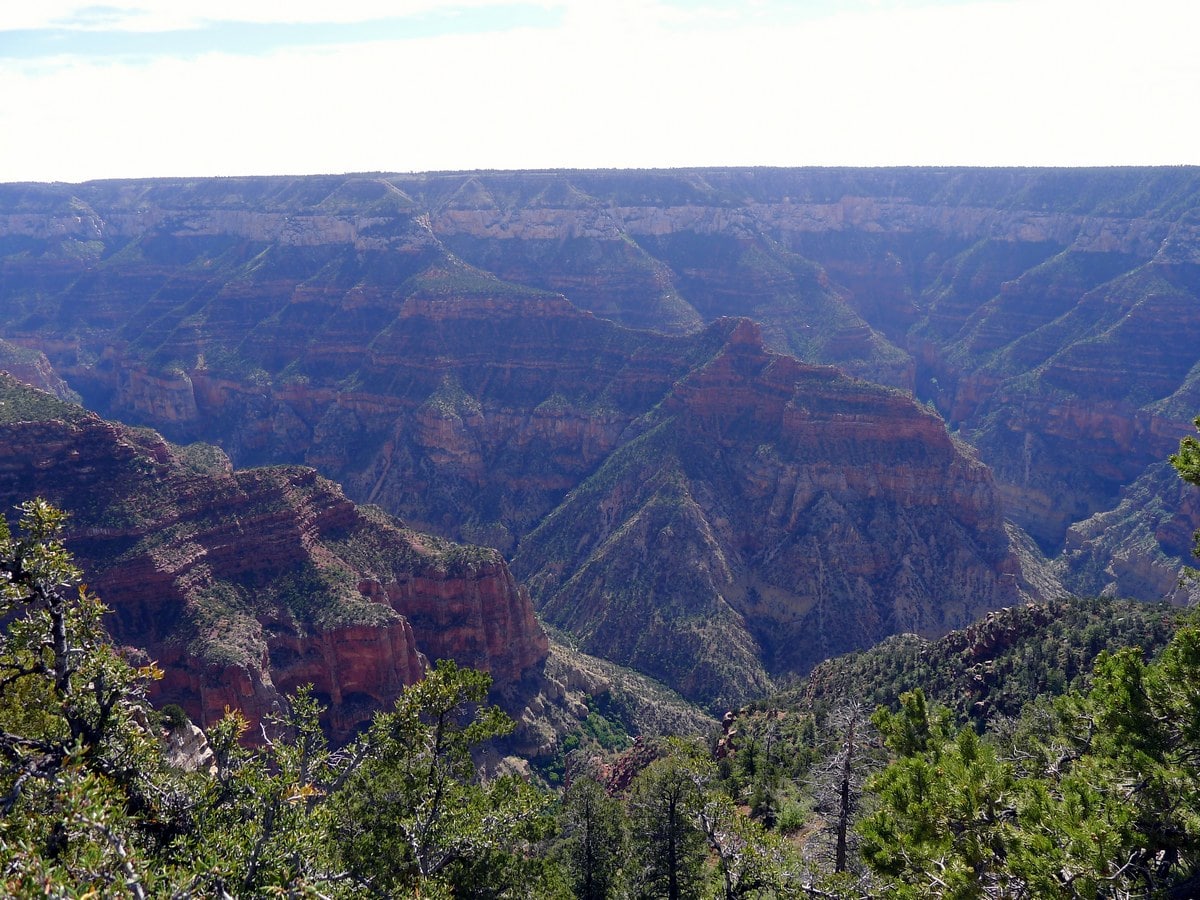
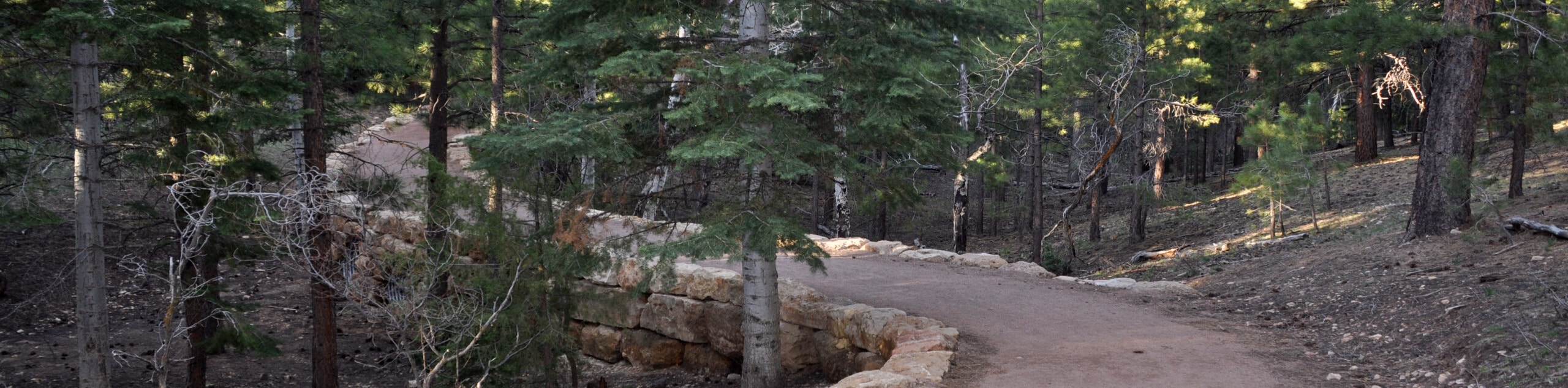
From here follow signs to the left, veering onto the visible point jutting out into the vertical abyss that is the Grand Canyon. This paved path rolls up and down – at times quite steeply – so it is not appropriate for strollers. Along the path there are informational signs depicting and explaining the geology and biology of the landscape.
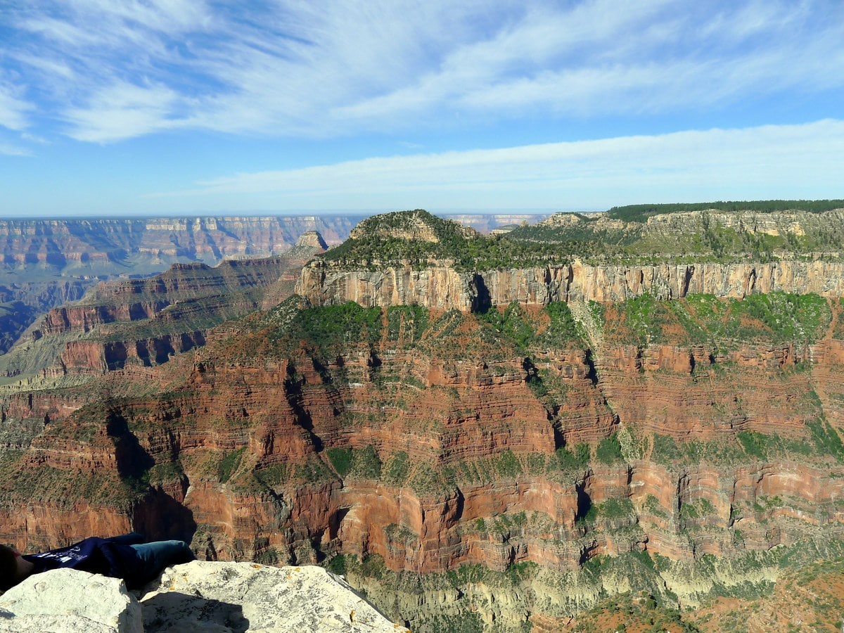
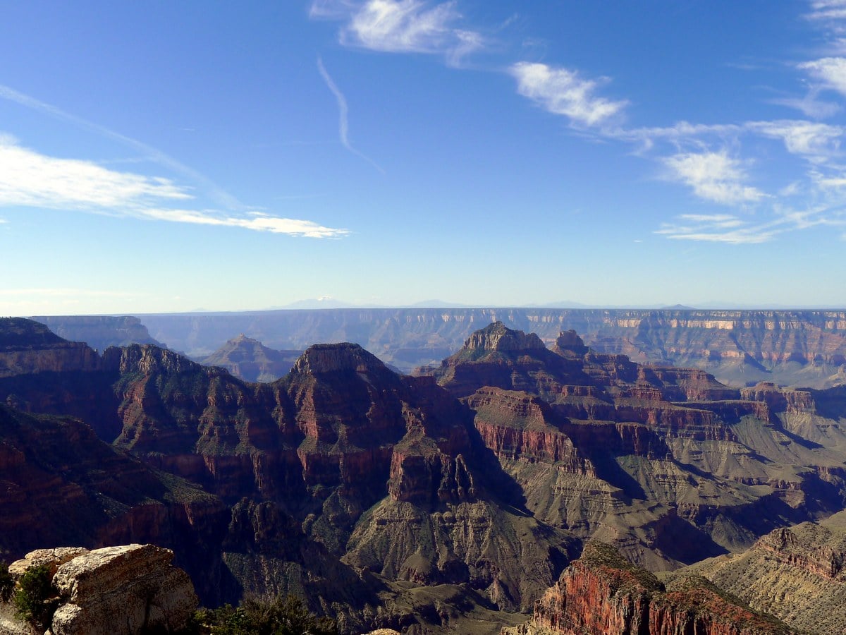
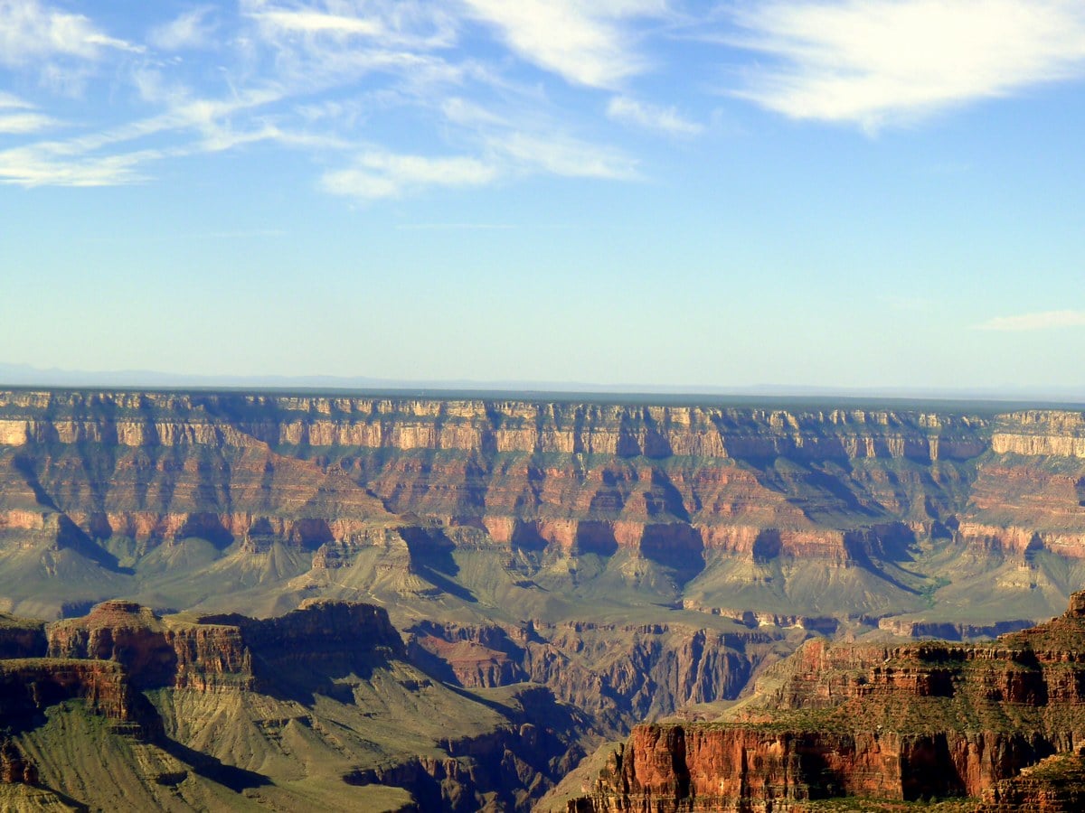
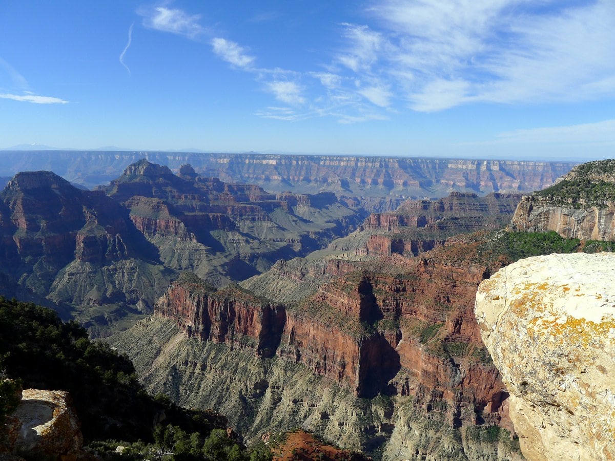
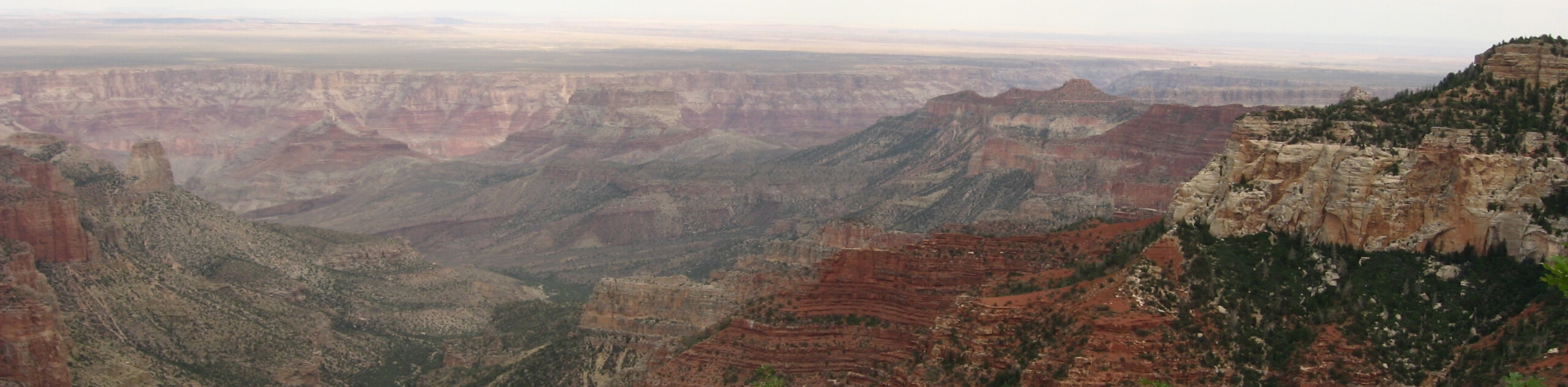
Once you reach the end of the trail you will be granted incredible panoramic views of the entire Grand Canyon. Down and to your left you can see the canyon where the North Kaibab Trail leads down to the Colorado River and Phantom Ranch.
If you peer directly across the canyon you may be able to make out small blotches along the otherwise perfectly horizontal canyon wall. These are the hotels of Grand Canyon Village. You might also be able to make out the North Kaibab and Bright Angel Trails working their way down on that side. Return to your car the way you came.
Insider Hints
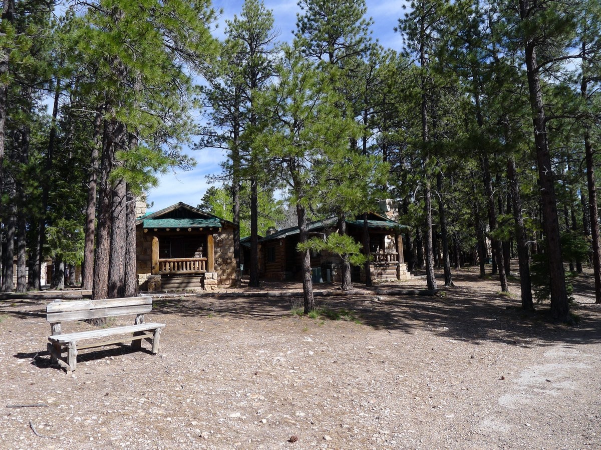
If you are lucky and have booked far enough in advance you can snag a room at the Grand Canyon North Rim Lodge. If you are staying there, this trail makes for a perfect after dinner hike!

Similar hikes to the Bright Angel Point hike
North Rim Fire Watchtower Hike
Adventure through the forest on the trail to the North Rim Fire Watchtower, a hike that sees very little traffic…
Grand Canyon Bridle Trail
The Grand Canyon Bridle Trail is a 3.2mi easy hiking trail on the North Rim of the Grand…
Roosevelt Point Trail
Roosevelt Point Trail is a short and sweet hike on the North Rim of the Grand Canyon known for its…
Suzy TQ 4 years ago
The best time to go is before sunrise. We were awed by the beauty of this trail.
Grace Wilk. 4 years ago
It not as crowded as the South Rim so you can take your time with photos and exploring. Great trail to experience some epic views of the Grand Canyon’s North Rim.
TwoBoots 4 years ago
Gorgeous! Opens up 400 million years of the earth's crust for your wonderment.
Anabelle Clyde 4 years ago
Very nice outlook giving panoramic views down the canyon. Great views after easy walk
Hannah D. 4 years ago
Great hike. We enjoyed our trip here. Took us 12 hours to complete the hike. Better bring enough snacks and water to cover the entire hike.
Jill J. 5 years ago
Absolutely gorgeous. Love the views throughout the entire journey. It's not easy and it's very dangerous. Not advisable for newbies.
Sina f. 5 years ago
Tough trail with challenging switchbacks. It's definitely a long and arduous hike to the top.
Brian F. 5 years ago
This hike is full of veteran hikers. Got to meet some incredible people. Made few friends along the way.
Abode SC 5 years ago
Extremely satisfying hike despite the strenuous ascend. This is something you should do at least once in your lifetime.
Lisa M. 5 years ago
Loved the trails. They were very thrilling. I do not recommend it to everyone though. Someone collapsed while doing the hike. It's very troublesome if that would happen. Make sure you are physically capable before doing it!