Ghiacciaio Grand Étret hike
View Photos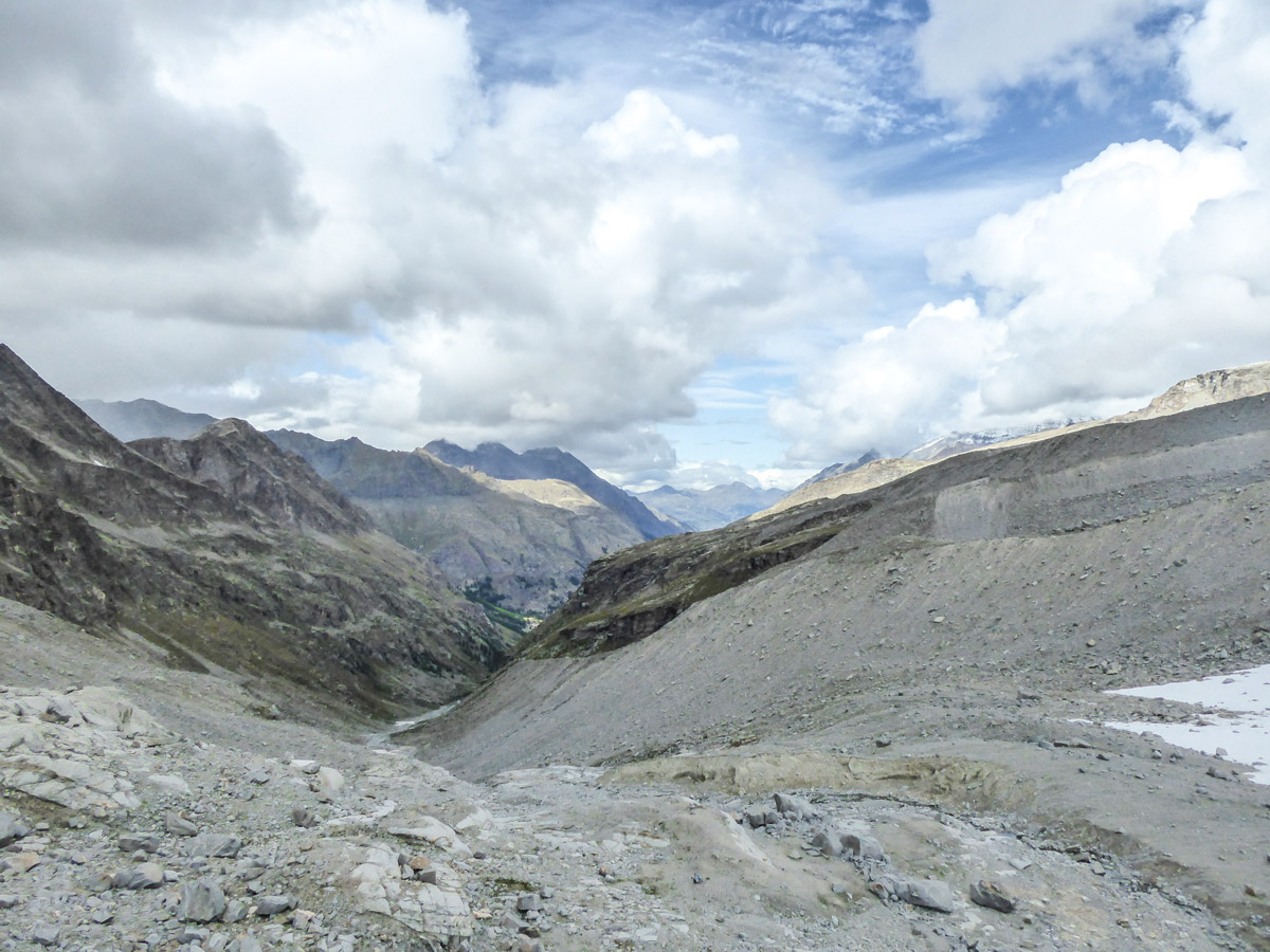

Ghiacciaio Grand Étret hike
Difficulty Rating:
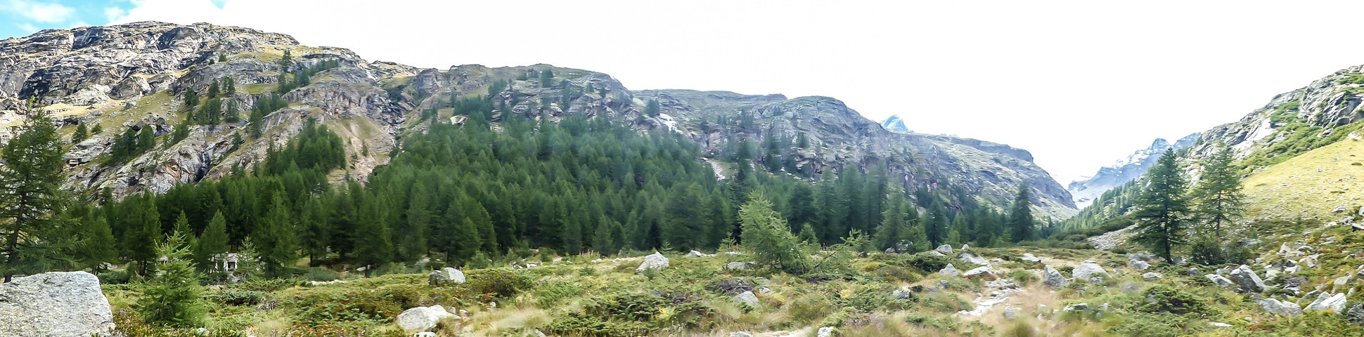
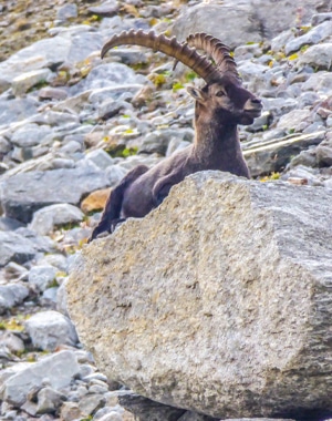
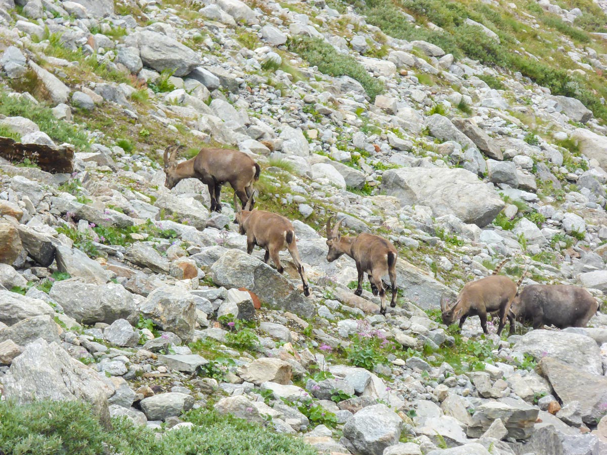
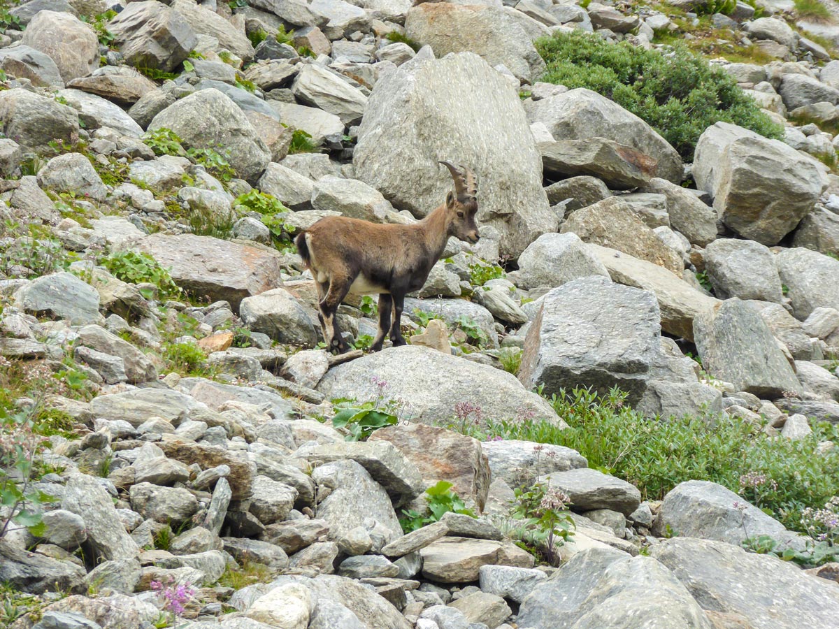
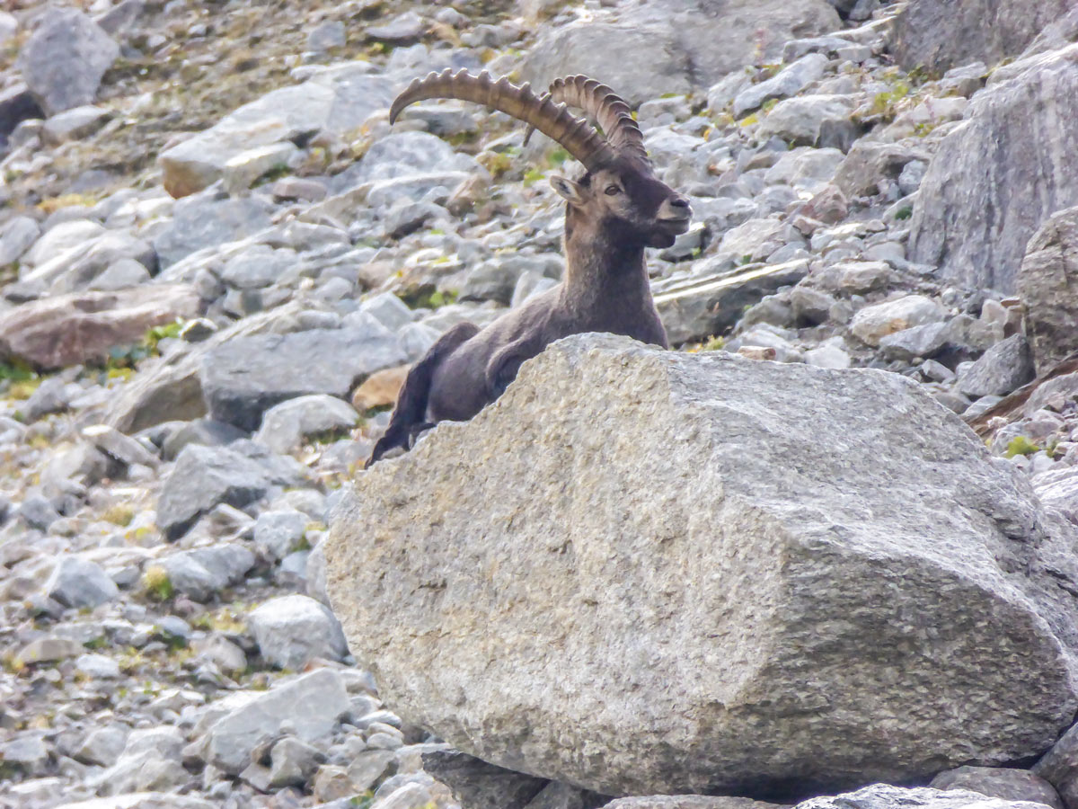
Ghiacciaio Grand Étret Hike is a moderate day-hike in Gran Paradiso National Park that takes you through a beautiful valley. You will see beautiful views of mountains surrounding the valley, and stunning snowy peaks at the end of the hike. The trail leads you to the hidden Grand Étret Glacier and it’s one of the best trails to see ibex.
Getting there
Use the Strada Regionale 23 (SR23) to drive to the village of Le Pont. It takes around 45min from Aosta.

About
| When to do | Not sure |
| Backcountry Campsites | No |
| Pets allowed | No |
| Family friendly | No |
| Route Signage | Poor |
| Crowd Levels | Low |
| Route Type | Out and back |
Ghiacciaio Grand Étret
Elevation Graph
Weather
Route Description for Ghiacciaio Grand Étret
Trail markings suggest that it should take around 2h30min to reach the glacier but don’t get fooled as the last part of the hike is quite strenuous – you’ll be walking on a field of loose rockslide debris and it will slow you down significantly. It took us almost 4 hours to reach the glacier on a not-so-slow pace! Because of these rocks, shoes covering your ankles are an absolute must.
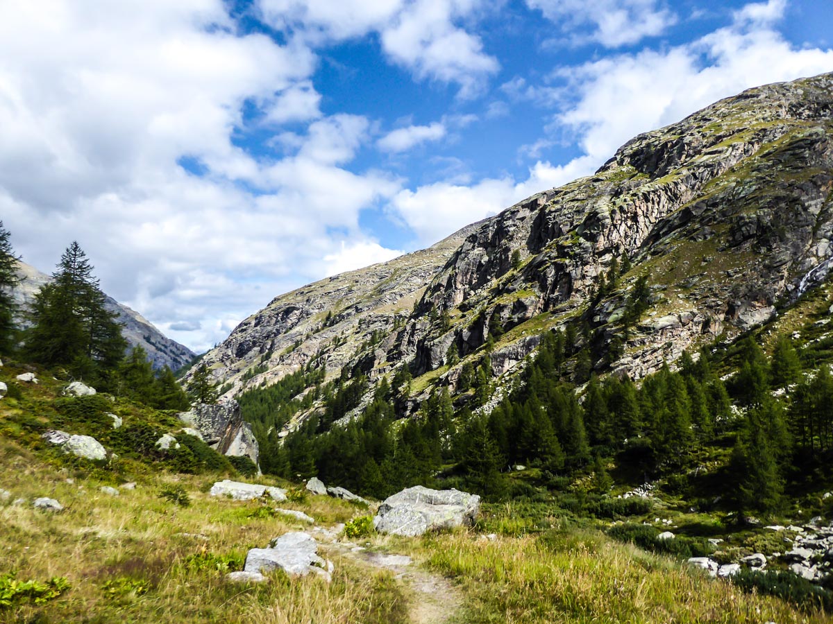
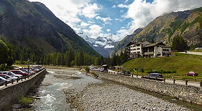
The Ghiacciaio Grand Étret hike starts in Le Pont. You can park your car in a big free car park. You will find the trailhead next to the tourist information point on the east side of the car park. Start following route 2.
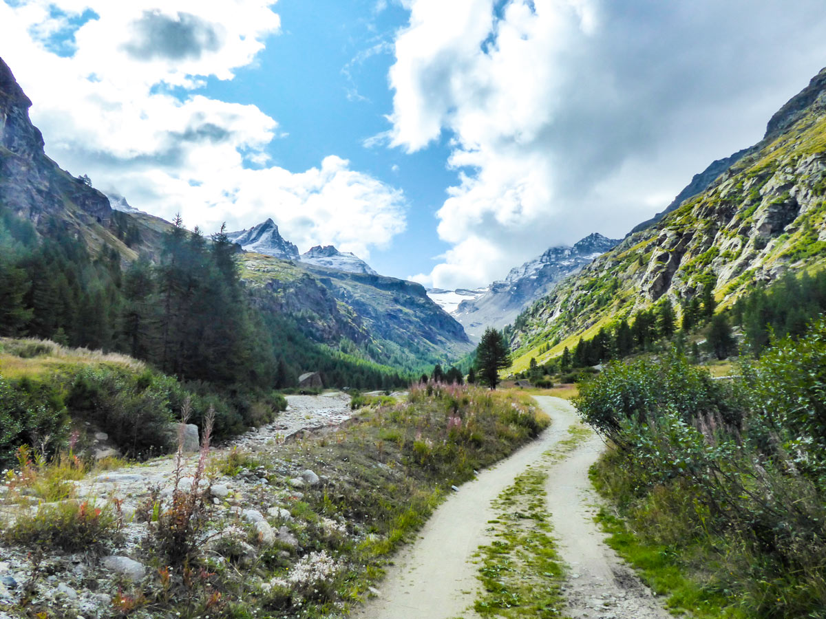
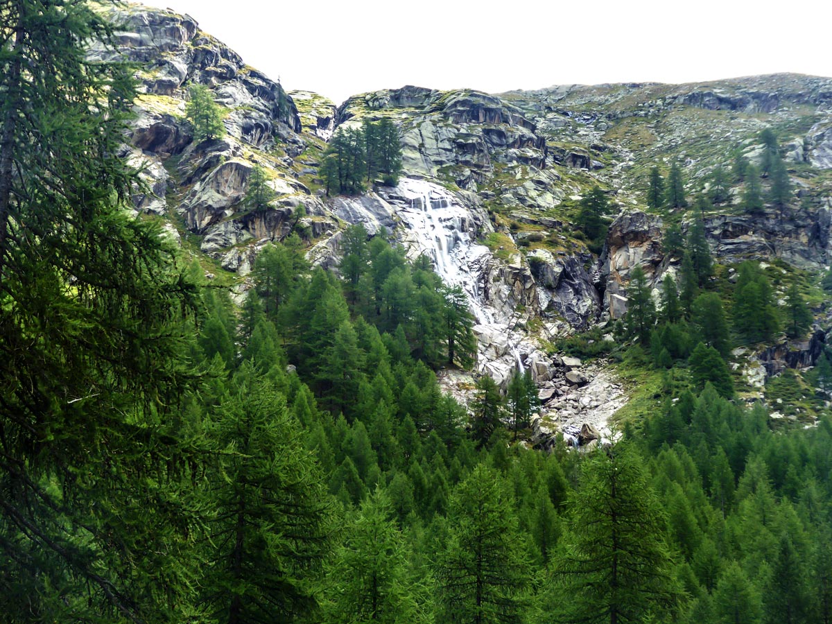
Turn right in front of the Torrente Savara River, do not cross to the other side. Walk by the river, keeping it to your left. Enjoy the view of rushing Torrente La Chante waterfall and the stunning snowy peak of Becca di Monclair in front.
You will soon leave the dirt road and see another signpost. Continue following route 2 along the river. Route 2A ascends into the mountains and takes you on a completely different hike.
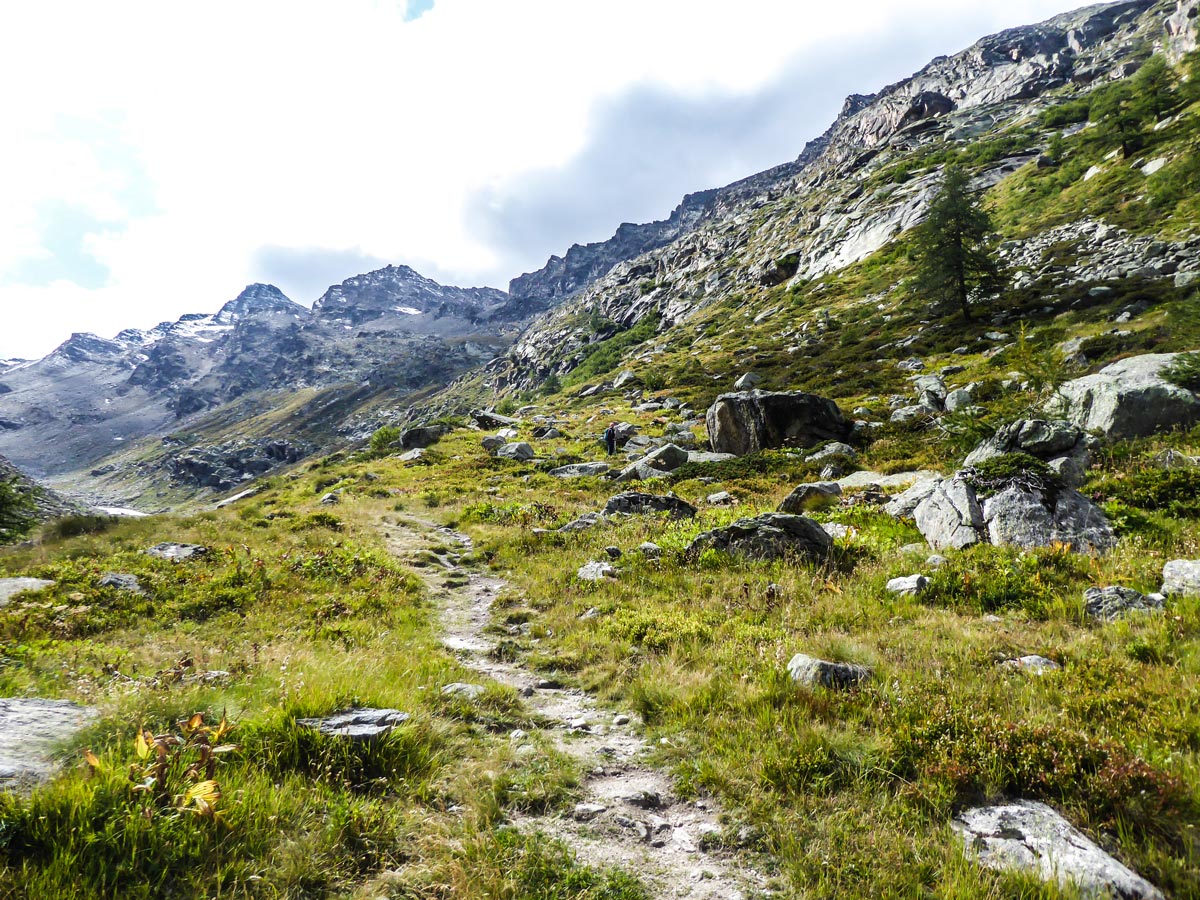
After an easy section of walking along the river, the trail becomes rocky and you will have to switchback to gain a little bit of elevation. You should still stay close to the river.
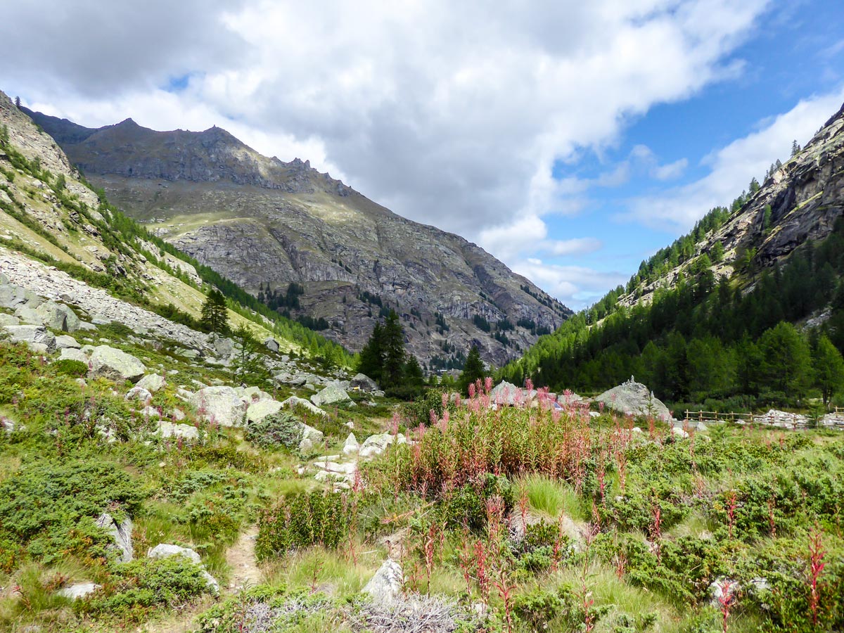
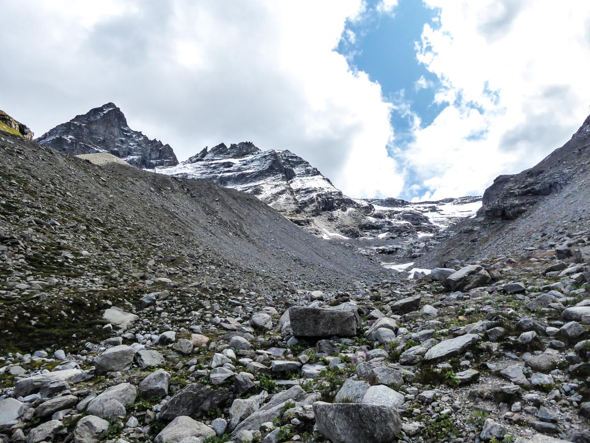
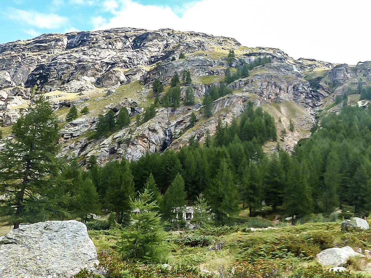
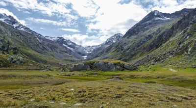
Walk up onto a meadow where the trail evens out. You will see big snow patches in front of you and more beautiful streams rushing down the mountains on your left.
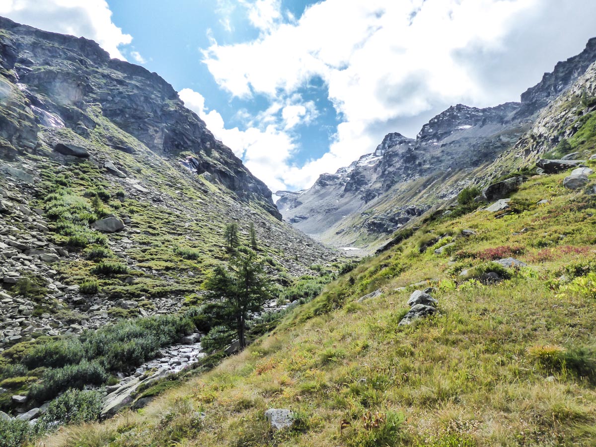
You will then pass old ruins of traditional Italian stone buildings. Continue straight ahead.
After the trail becomes rocky again, keep the river close to your left-hand side and look for the trail going slightly up the slope. The trail ascends easily along the right slope of the mountain.
Later, the ascent takes you through rock boulders and your pace will start to slow down as the trail becomes covered in scree, rocks and rockslide debris. About 4.3km into your hike, the yellow trail signs will disappear. Look for piled rocks (cairns) and use them as your guide. If you don’t see any, just hike carefully upwards. Keep the river to your left side and its source as your goal.
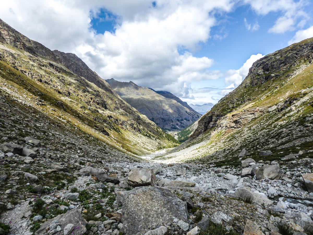
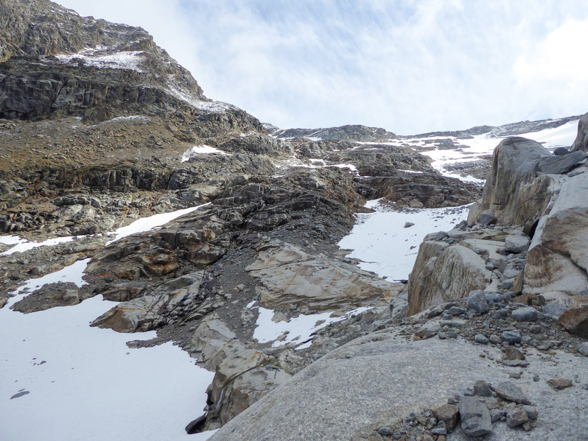
There will be another climb where you will need to ascend onto the top of a boulder on the right side of the mountain slope. The Grand Étret Glacier is just behind the rocky walls from there. This part of the hike is difficult to ascend and to descend. Be really careful when placing your feet as almost every rock moves and the whole area is covered in rockslide debris.
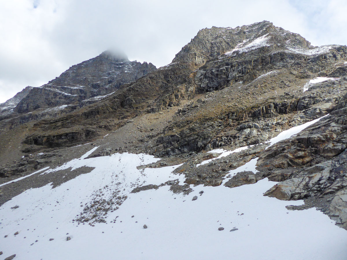
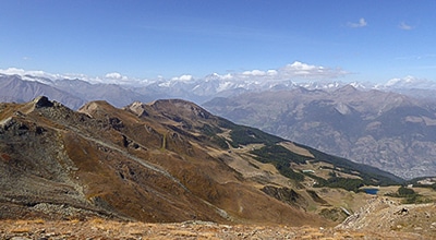
After you enjoy the views of the surrounding snowy peaks and the Ghiacciaio Grand Étret, make your way back the way you came from or try to find a better route for the first part of the descent. There is no actual route during that last section that you could follow without improvising.
Insider Hints
Be prepared to make your own trail during the last section of the hike as there is no real route at the end that is marked by the tourist association.
Take warm clothes as the weather can change very fast in the mountains. You can expect snow even in summer, especially late in the afternoon.
Plan ahead if you’re driving from Aosta or surrounding areas. Le Pont is only 35 km away, but due to the mountain roads, it takes around 45 minutes to drive.

Similar hikes to the Ghiacciaio Grand Étret hike
Rifugio Vittorio Sella
Rifugio Vittorio Sella is one of the most scenic hikes in Gran Paradiso National Park. The trail rewards you with…
Lago di Loie
The Lago di Loie hike takes you on a circular route to the peaceful and crystal-clear Lake Loie. It offers…
Col Tsasèche
The Col Tsasèche Hike is a strenuous trail in Gran Paradiso National Park that takes you to the Tsasèche (sometimes…
Danny V. 4 years ago
Nice views! Make sure to bring extra clothes for layering. It was cold when I visited.
TeddyBear 4 years ago
A super beautiful piece of nature
Rolando Acciaio 4 years ago
Gorgeous, definitely worth a visit