Colle della Rossa hike
View Photos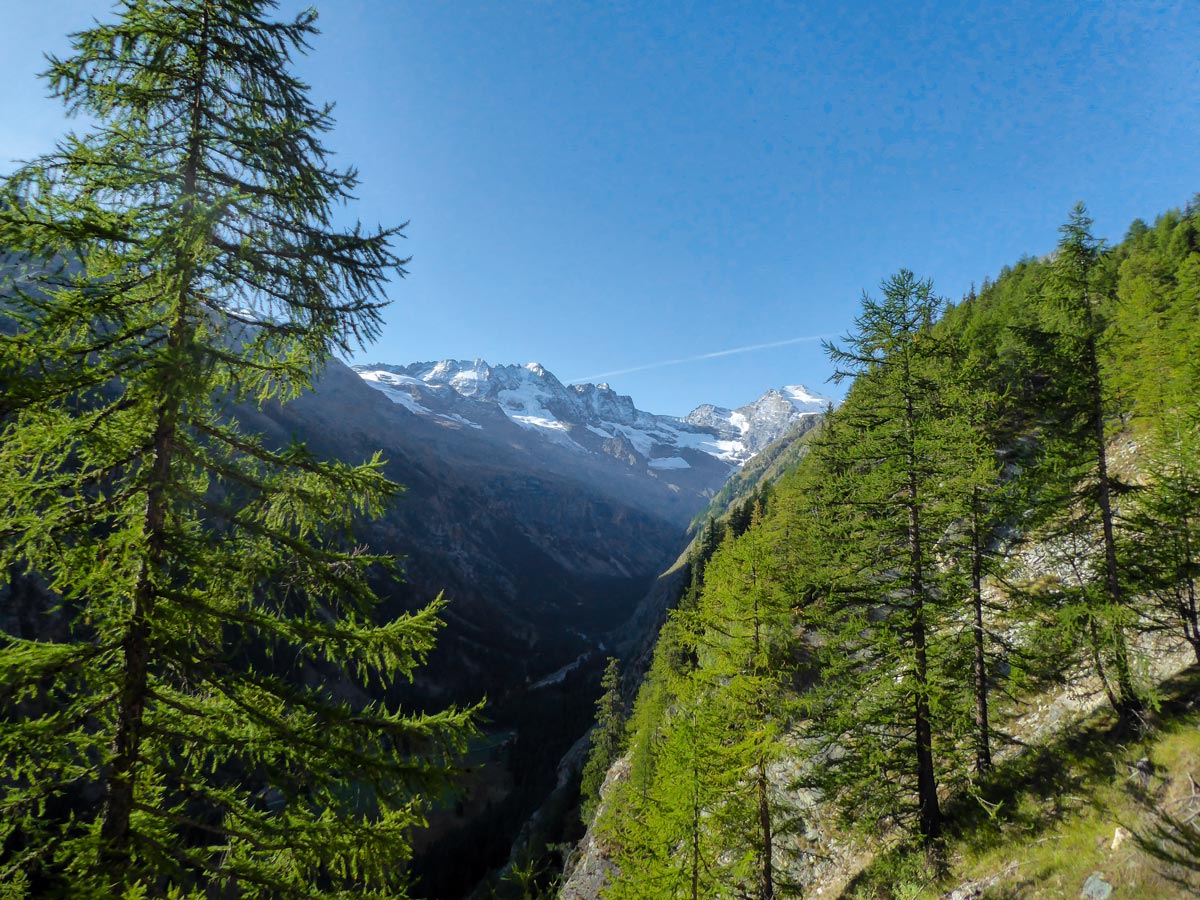
Colle della Rossa hike
Difficulty Rating:
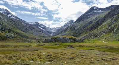
The Colle della Rossa hike is a strenuous and beautiful hike that takes you to the pass of della Rossa between the Punta Rossa della Grivola and Testa del Gavio mountains. It takes you past Rifugio Vittorio Sella and offers stunning views all along the Alpe Lauson high valley with the most stunning ones waiting for you at the top.
Getting there
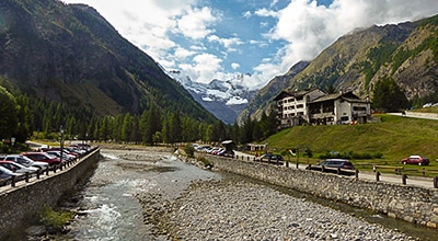
Head to Cogne, and then take the Rue Grand Paradis road to drive to Valnontey Village. Park your car at one of the car parks. The trail starts just after Valnontey village.

About
| When to do | June - October |
| Backcountry Campsites | No |
| Pets allowed | No |
| Family friendly | No |
| Route Signage | Average |
| Crowd Levels | Moderate |
| Route Type | Out and back |
Colle della Rossa
Elevation Graph
Weather
Route Description for Colle della Rossa
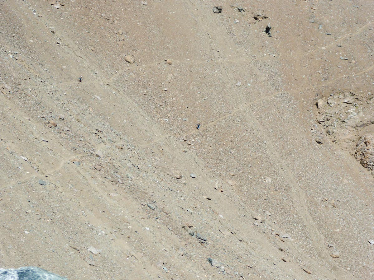
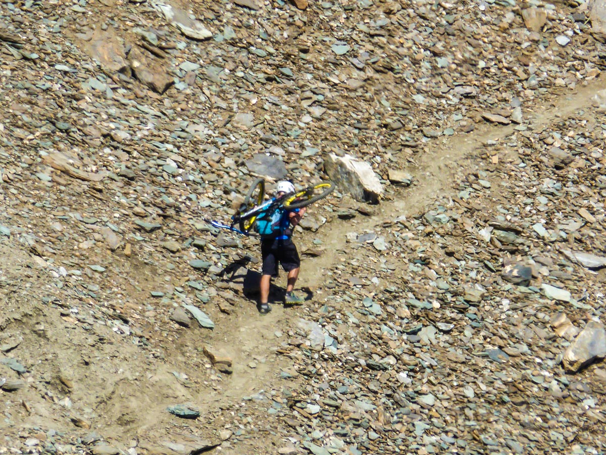
This trail is strenuous and with lots of elevation gain, so make sure you have dressed accordingly as the weather up there is significantly colder with occasional winds. Also, you will be walking on wet rocks and slippery sand so make sure your footwear has a good grip and bring trekking poles to help with balance.
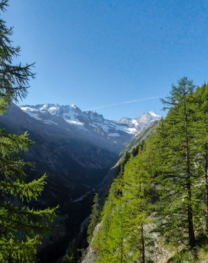
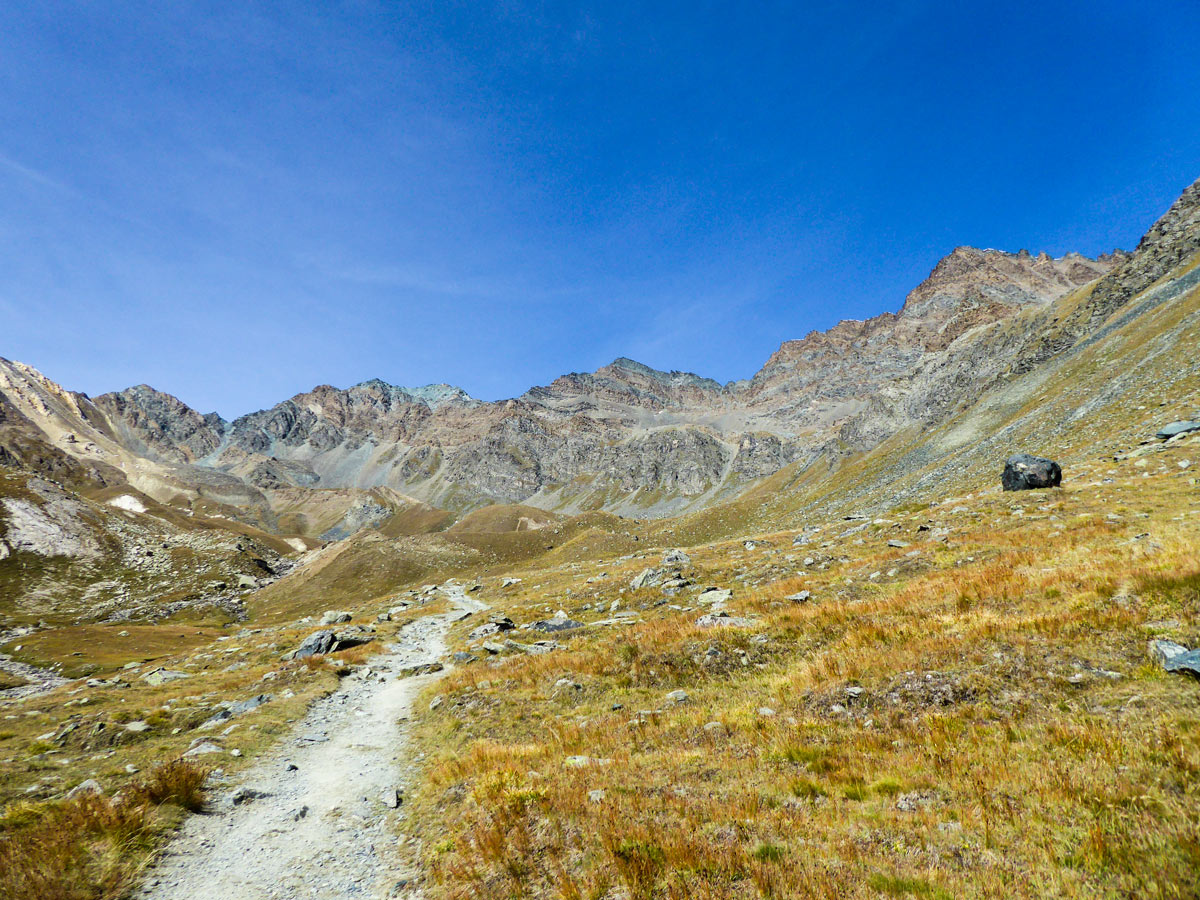
The Colle della Rossa hike starts from the village of Valnontey. It starts with following route 18, and you will first have to pass the Rifugio Vittorio Sella, which is a great hike on its own. Go up towards the hotels on the hill from the car park until you see a signpost and continue on route 18.
You begin with intense switchbacking up the slope. After a while, you will find the remains of a stone hut. There is a drinking water source behind it. Continue ascending.
After switchbacking through an open mountain slope, you will descend to a stream. Cross it via the bridge. The trail continues up to the mountain and turns left.
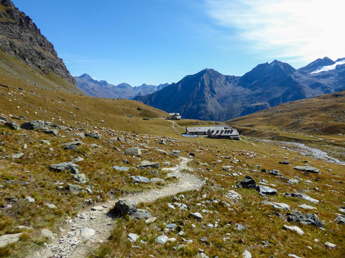
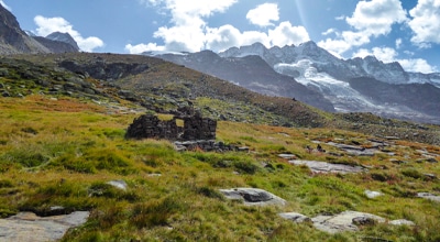
After climbing up for a while you will see some stone buildings, continue switchbacking as Rifugio is not far away.
You can take a break and get some refreshments at Rifugio Vittorio Sella and fill your water bottles. After that, follow route 2 to the right from the rifugio. The trail leads up the slope.
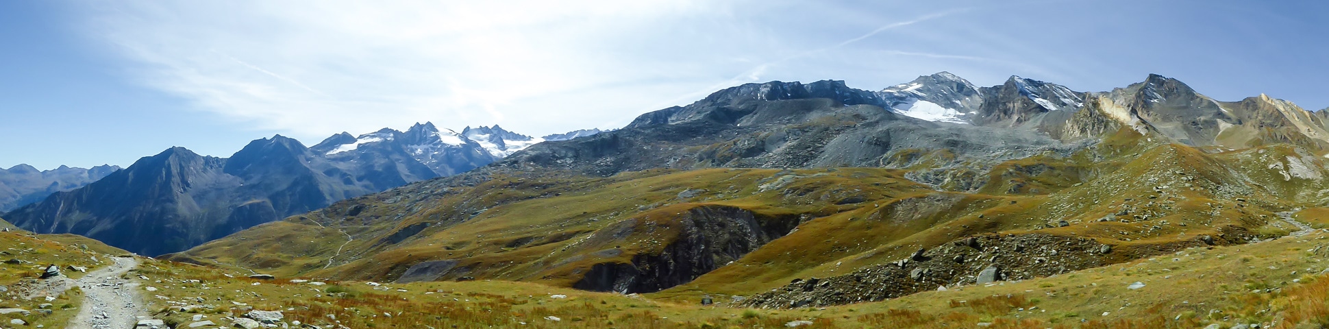
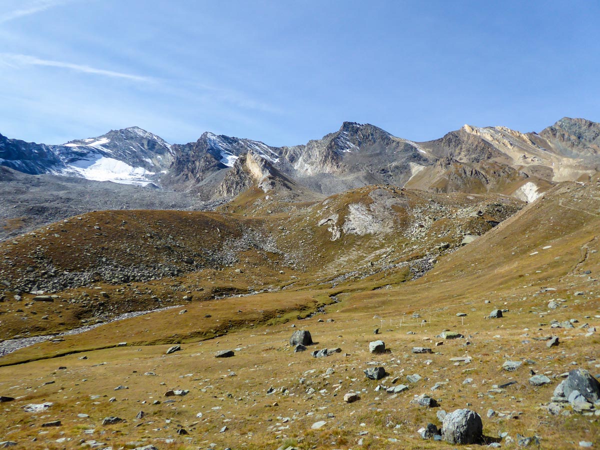
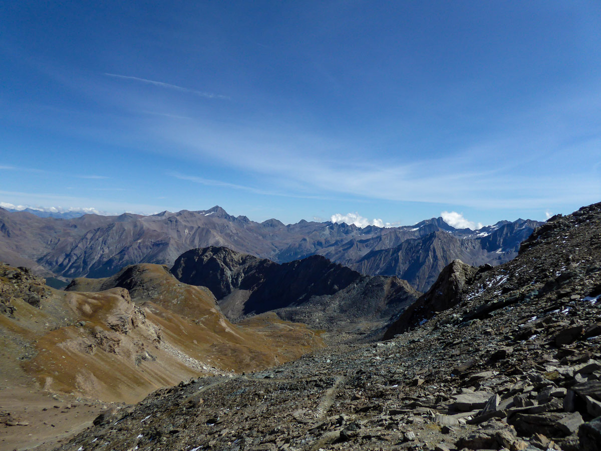
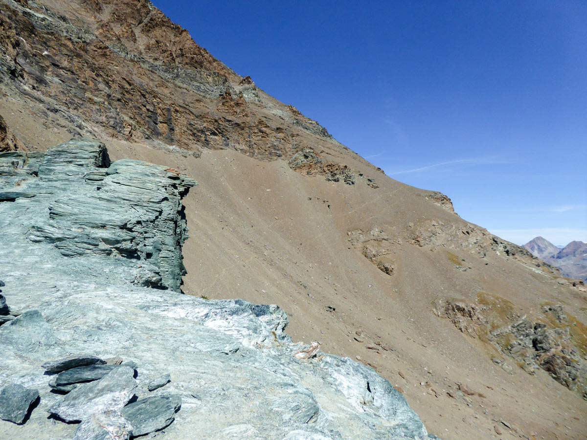
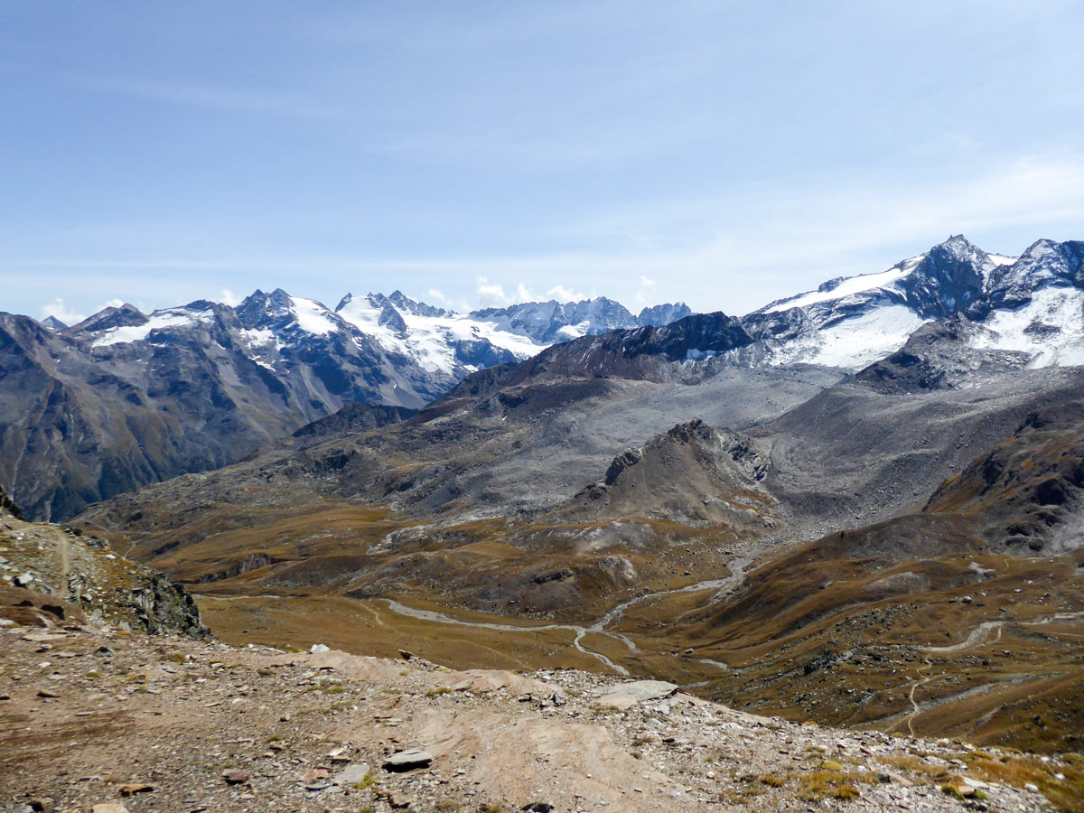
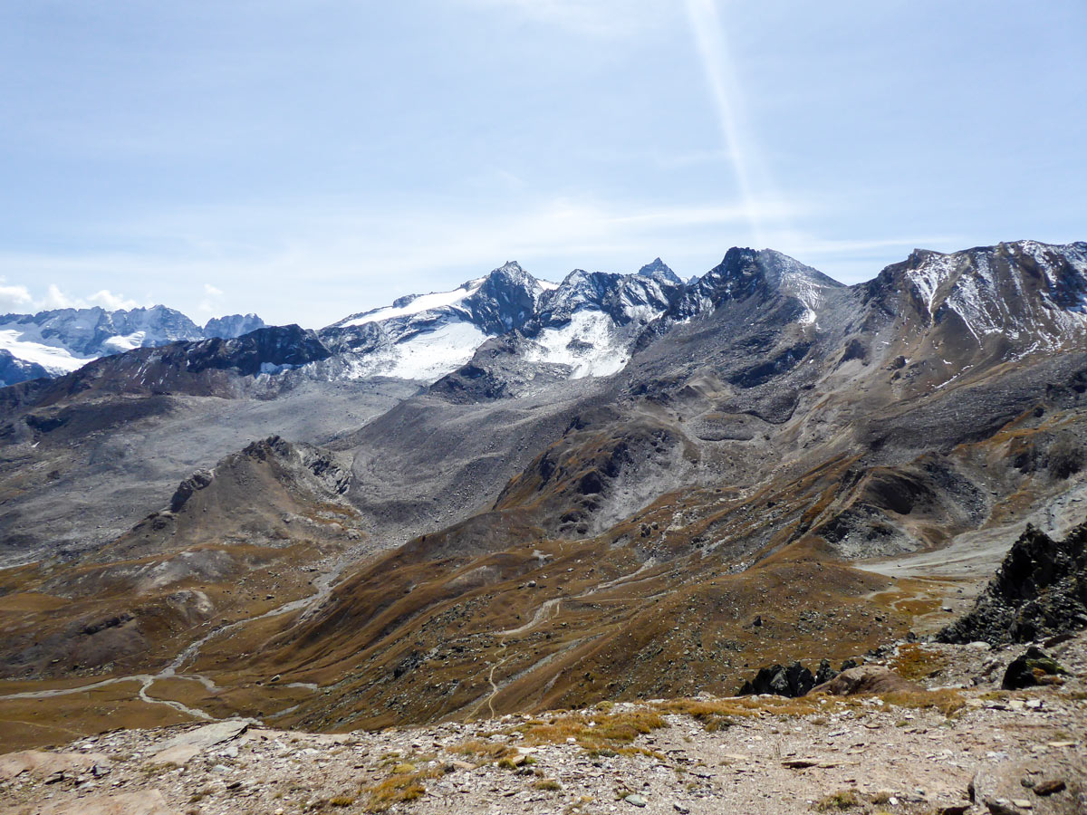
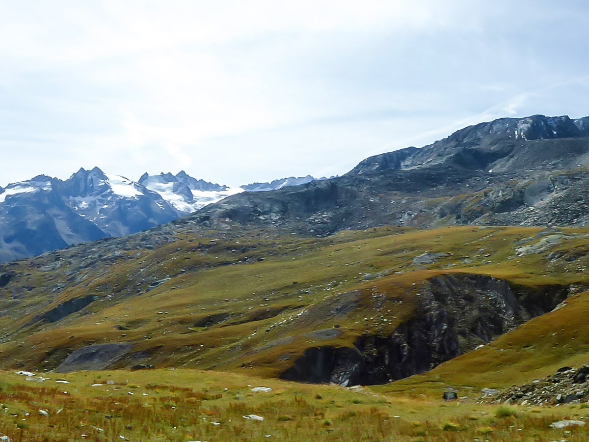
After switchbacking up for a while you will reach an alpine meadow along Alpe Lauson high valley and will see the marvelous red rock mountains. Continue towards them.
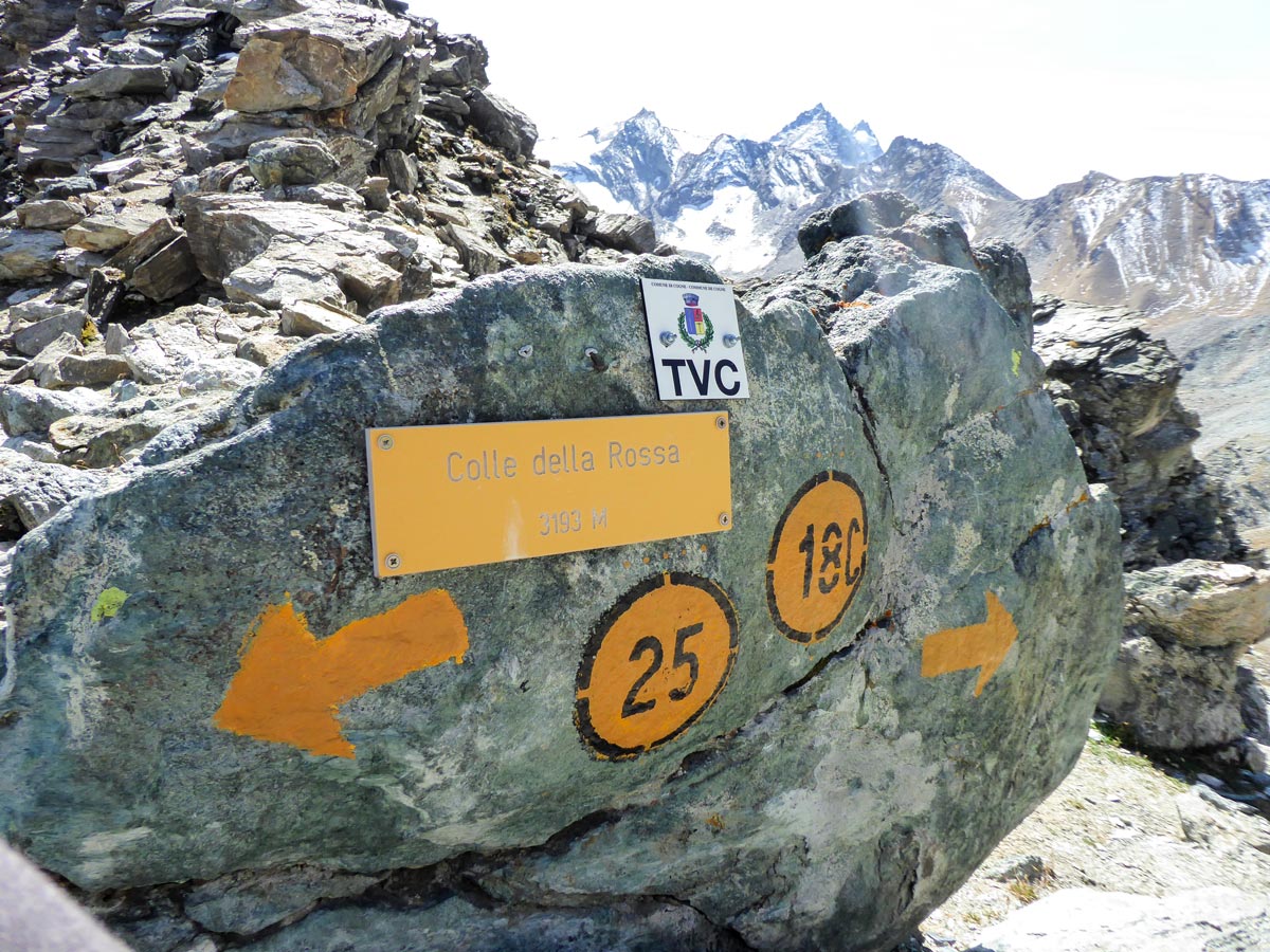
At around 7.3km into your hike, you should cross a wooden bridge and reach a T junction. You need to turn right. There will also be a sign leading you towards Colle della Rossa, via route 18C. If you go left here, via route 2, you can do another hike to Col Loson, which is another pass. In this section, the elevation gain increases and the ascent becomes more intense.
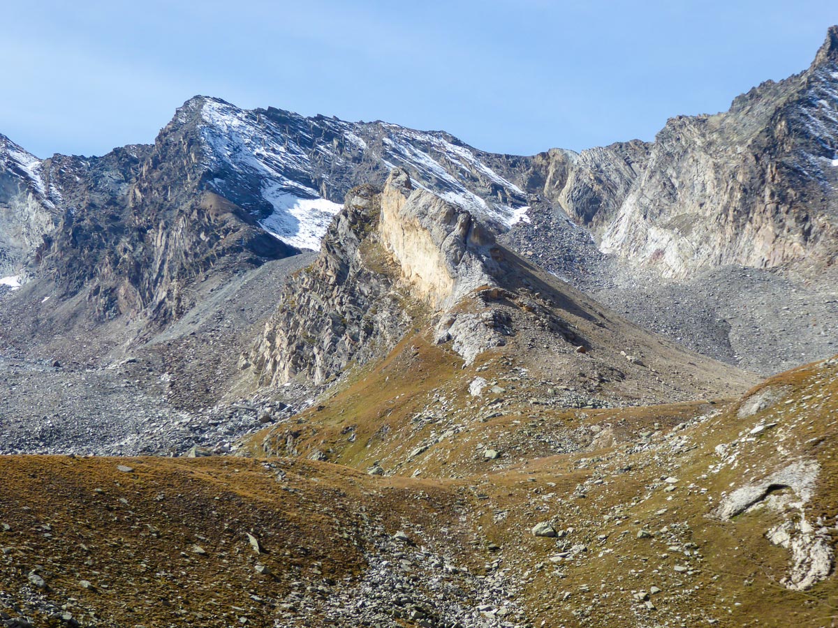
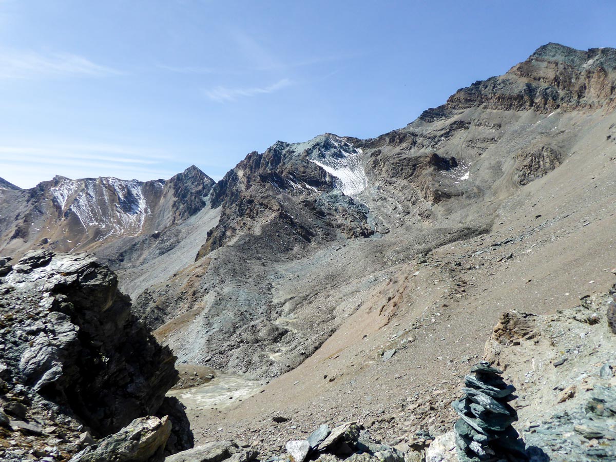
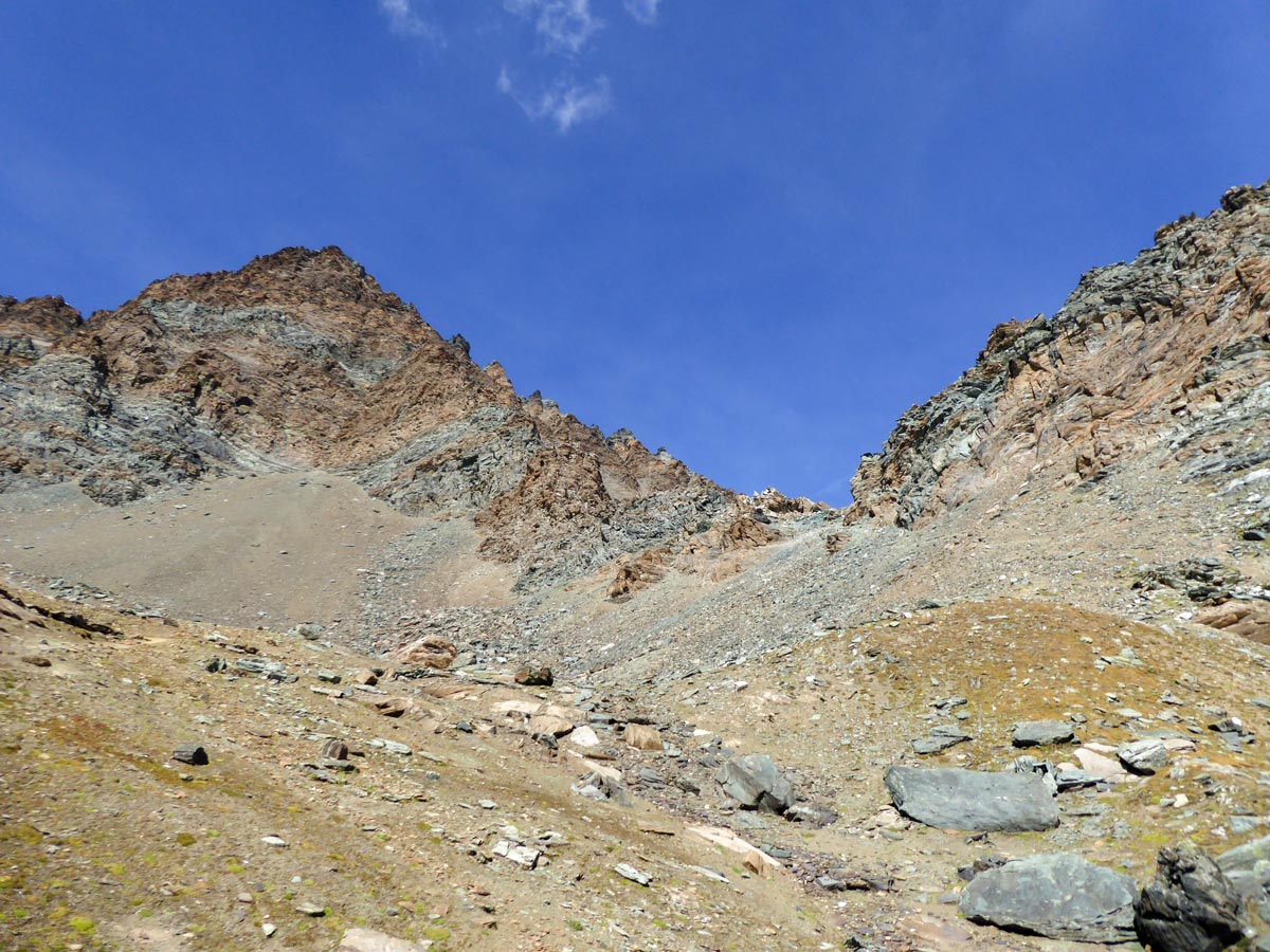
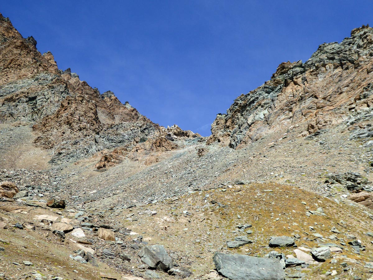
After switchbacking up for a while, you will reach the top of a stream. Make sure to keep on the right side of the stream keeping it to your left. You will have to cross through running water. It is not deep, but the rocks are wet and slippery, so good footwear is very important.
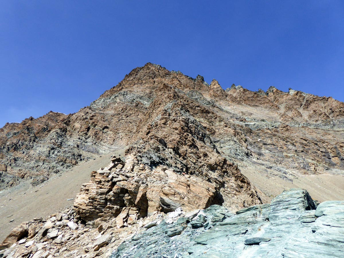
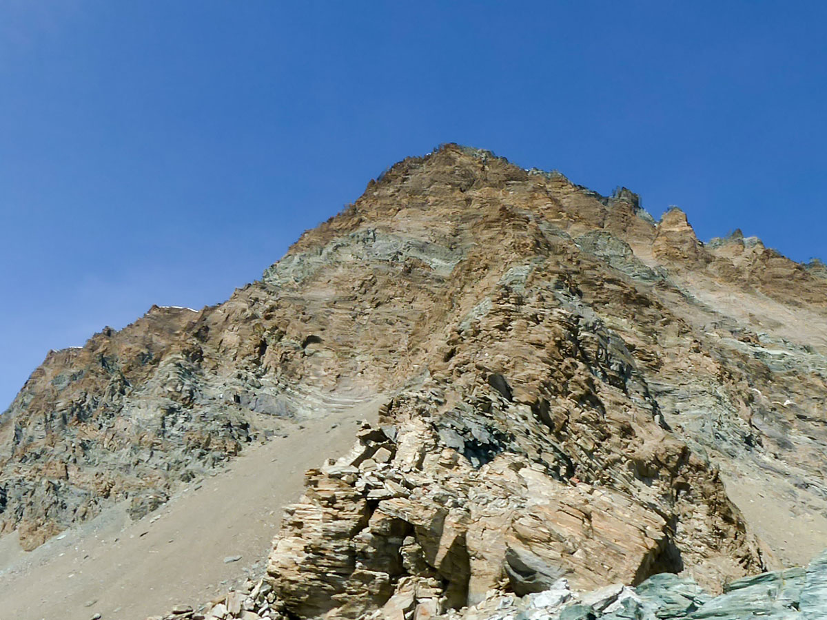
The trail then bends to the left. You will have the last even section here. After a few tens of meters turn right towards the mountain wall. You should see a mark 18C on a rock. The hike intensifies even more now. From here you will have to climb up quite steeply for the last 100 meters. The sand becomes quite slippery at the top, be careful.
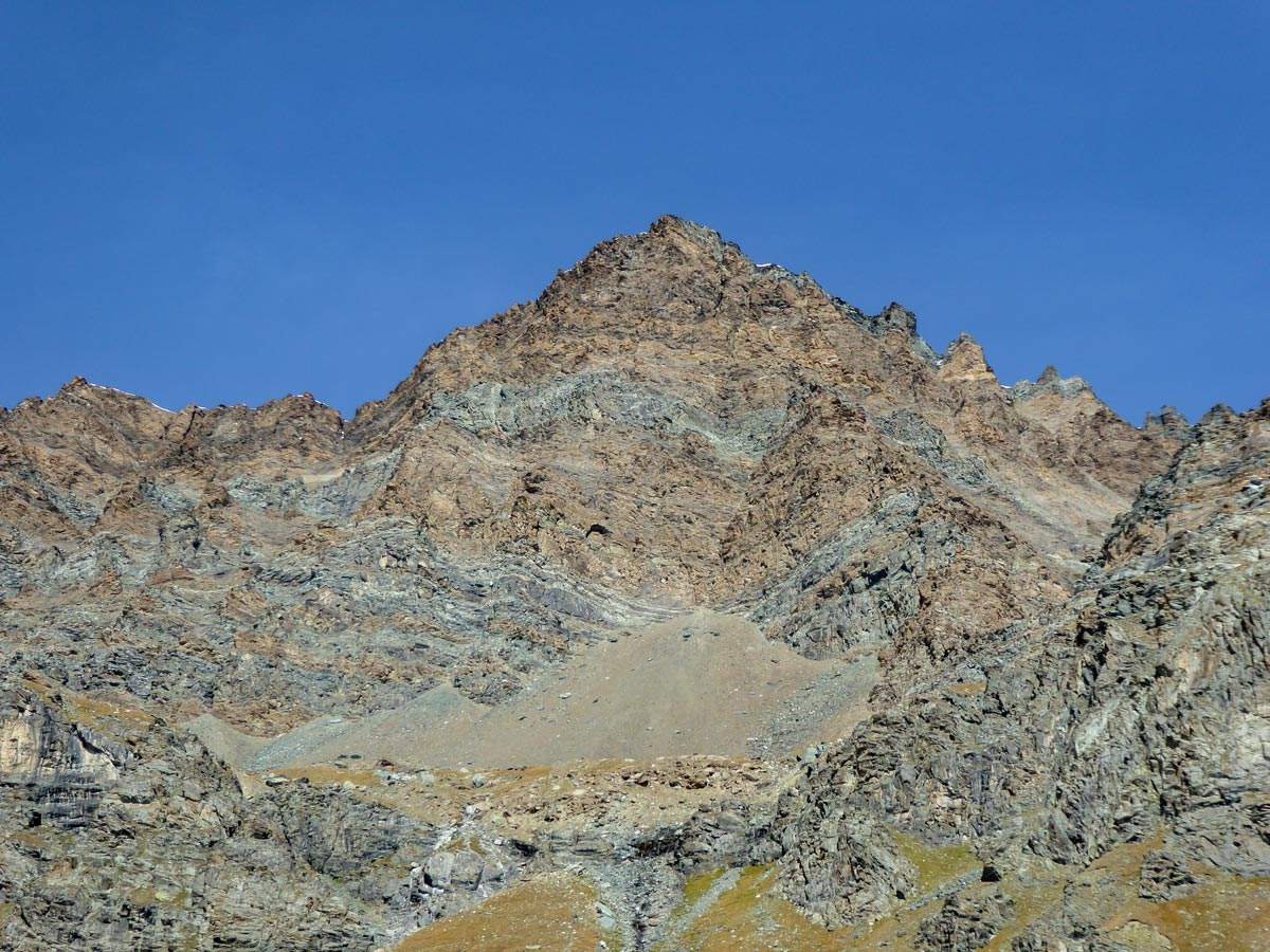
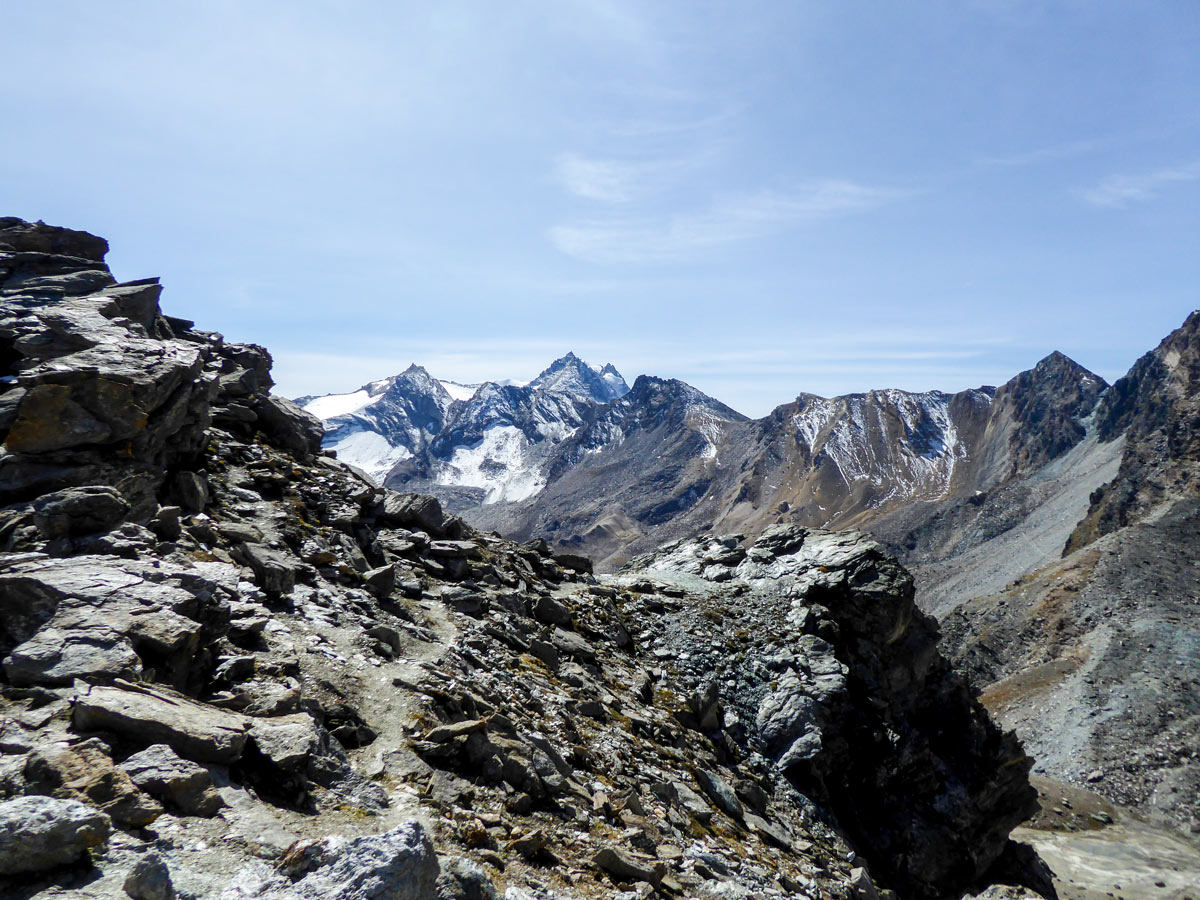
After the hardest section, you will climb to Colle della Rosa – a breathtaking pass between the mountains of Punta Rossa della Grivola and Testa del Gavio. You will get rewarded with magnificent panoramic views of the snowy mountains of Gran Paradiso National Park on the southern side and amazing scenery up north. On a clear day you should see the Swiss mountains, and Monte Rosa being the highlight of them all. After that, continue back the same way. You can stop at Rifugio Vittorio Sella for lunch before you reach the Valnontey village.
Insider Hints
Hiking poles help a lot during the descent on the slippery sections of the hike.
Rifugio Vittorio Sella is a great place to get some refreshments.
There are drinking water faucets along the trail. You can fill up your bottles at the rifugio both on your way up and down, so you don’t need to carry a lot of water all the way.
We recommend starting this hike early, as it can be a long hike. This way you can ascend in the cool morning air, which makes the massive elevation gain just a little bit easier.

Similar hikes to the Colle della Rossa hike
Alpe Money
The Alpe Money Hike is a beautiful trail in Gran Paradiso National Park. It takes you right up to the…
Rifugio Vittorio Sella
Rifugio Vittorio Sella is one of the most scenic hikes in Gran Paradiso National Park. The trail rewards you with…
Lago di Loie
The Lago di Loie hike takes you on a circular route to the peaceful and crystal-clear Lake Loie. It offers…
Matilda86 4 years ago
Steep trail, unique area and panoramic views