Trail of the Cedars
View Photos
Trail of the Cedars
Difficulty Rating:
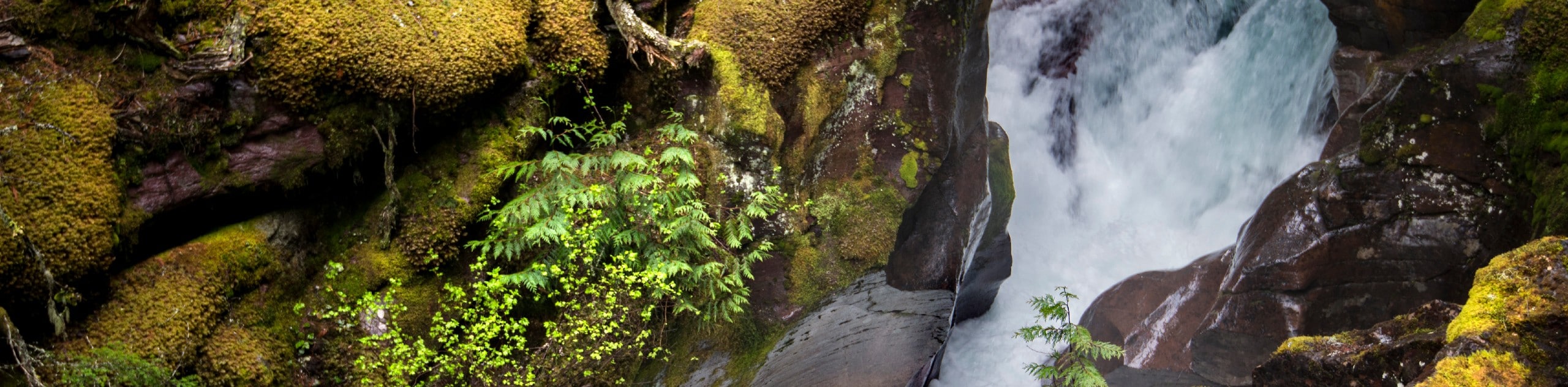
The Trail of Cedars takes you through a forest of Western Hemlock and Red Cedar trees along a boardwalk that is stroller and wheelchair friendly. Explore the amazing views that the trail has to offer, the highlight being the footbridge over Avalanche Creek that showcases the Avalanche Gorge below. If you want to see Avalanche Creek up close, climb the short but steep trail to get to the banks and see the power that the glacially melted water has as it rushes through the gorge.
Getting there
To get to the Trail of Cedars from Mcdonald Lake Lodge is quite simple. Head South out of the McDonald Lake Lodge loop and turn left onto Glacier Route 1 Road /Going-to-the-Sun-Road. Stay on this road for 5.6mi and the Trail of Cedars will appear on your right hand side.

About
| When to do | April - October |
| Backcountry Campsites | No |
| Pets allowed | No |
| Family friendly | Yes |
| Route Signage | Average |
| Crowd Levels | High |
| Route Type | Circuit |
Trail of the Cedars
Elevation Graph
Weather
Trail of Cedars Description
The Trail of Cedars is a very popular hike, especially in the summer months, for good reason. This trail is one of two in all of Glacier National Park that is stroller and wheelchair friendly, making it a favourite among families. During peak months, parking can be an issue due to its popularity, so arriving early in the morning or later in the afternoon may shake some tourists.
The Trail of Cedars is a short walk through the soaring, ancient Western Hemlock and Red Cedar trees that takes you through a winding boardwalk where bright green ferns and mosses blanket the forest floor. The humidity in the air in this particular area makes a perfect breeding ground for Red Cedars to grow and reach heights of 100ft or more. Some of these trees have been situated in this forest for over 500 years.
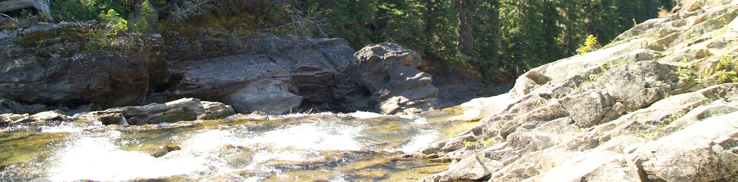
Halfway through this trail, you will come across a footbridge over Avalanche Creek that looks down on the Avalanche Gorge. Just past the footbridge is the Avalanche Lake Trail junction, which, if you choose to climb, will take you to the shores of the gorge. The climb is short but steep; however, you will be rewarded with seeing the power of glacially melted water as it pushes through the gorge.
If you wish to continue on to see Avalanche Lake, keep walking for another 1.6mi.
Continuing on the loop of the Trail of Cedars, the boardwalk will end and you will continue the rest of the loop on a paved trail. Passing the Avalanche Creek Campground and will take you back out to the road from where you began.
Insider Hints
Bring the whole family on this easy and accessible trail
Extend your vacation at the closeby McDonald Lake Lodge
Take a drive down the Going to the Sun Road and find yourself surrounded by mountains and incredible views
Similar hikes to the Trail of the Cedars hike
Waterton Overlook Trail
The Waterton Overlook Trail is a unique hike as it begins by crossing the border by boat from Canada to…
Rainbow Falls Trail
The Rainbow Falls Trail is a gorgeous hike that sits near the Canadian and United States border. It takes you…
Covey Meadow Loop Trail
The Covey Meadow Loop Trail is a tranquil hike through meadows and trees peppered with wildflowers. The mountains that Glacier…
Comments