
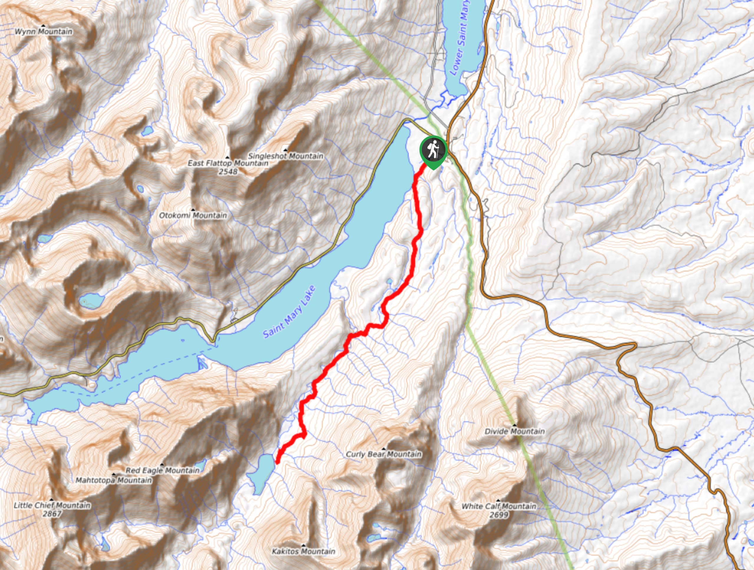
Swiftcurrent Pass Trail
View Photos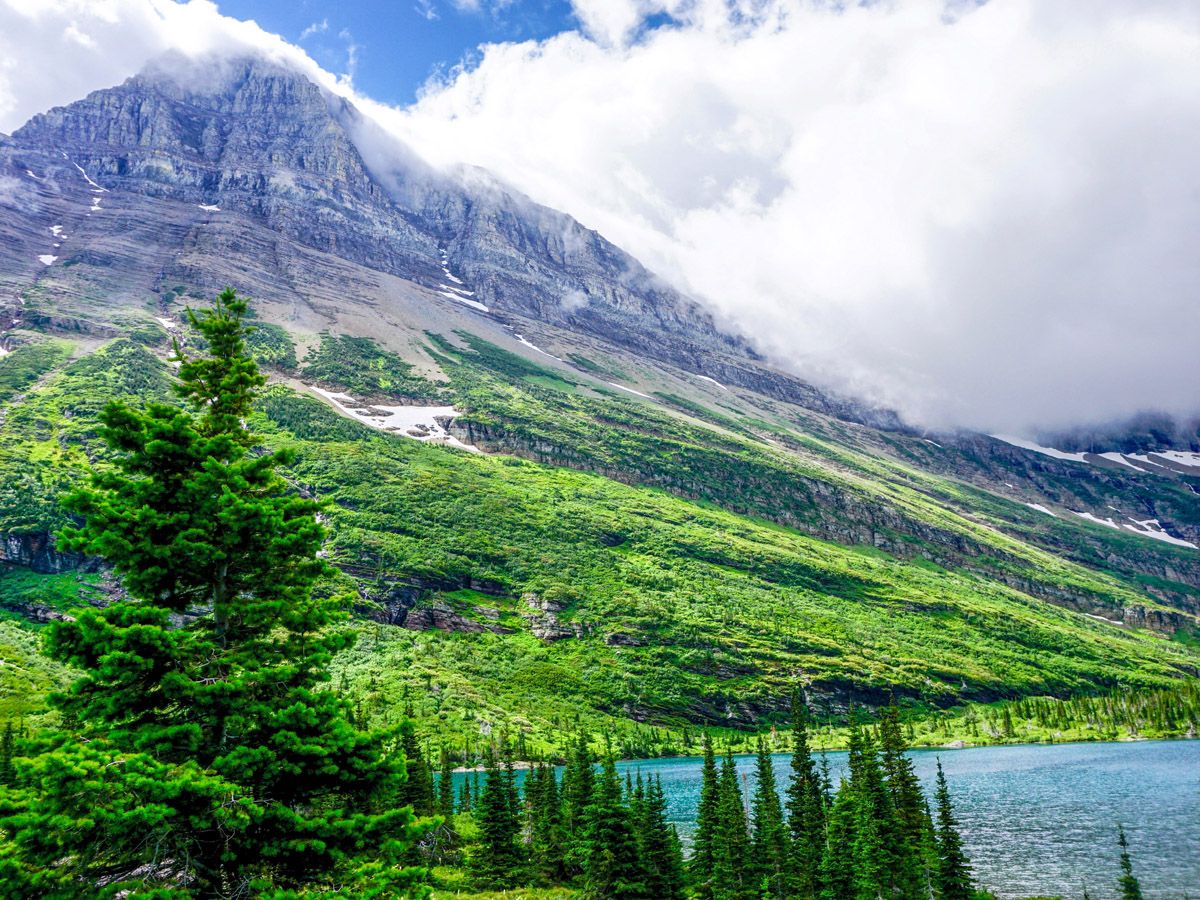
Swiftcurrent Pass Trail
Difficulty Rating:
The Swiftcurrent Pass hike is a wonderful day out on the trails, with a route that is sure to keep you guessing. There is the option of a linear hike to Granite Park Chalet and down to the loop on Going-to-the-Sun road, but make sure tocarefully confirm transportation if you’re not doing a car shuttle.
Getting there
To get to the Swiftcurrent Pass Trailhead, head into Many Glacier Area along the pock-marked road, making sure to remain watchful for animals – bears are likely to be found here in early summer. Park anywhere near the Swiftcurrent Motor Inn.

About
| When to do | June through September |
| Backcountry Campsites | Yes |
| Toilets | Trailhead |
| Family friendly | Yes |
| Route Signage | Average |
| Crowd Levels | Moderate |
| Route Type | Out and back |
Swiftcurrent Pass Trail
Elevation Graph
Weather
Swiftcurrent Pass Trail Description
Swiftcurrent Pass Trail is yet another wonderful hike in the Many Glacier area. The route will take you out along a pleasant river, past some lakes that often have game and then up the grueling pass, where options for more exploration abound! The path is well traveled and easy to navigate.
Head to the far (western) end of the parking lot in front of Swiftcurrent Motor Lodge. If you’ve been camping in the Many Glacier campground then you are very lucky and can reward yourself with coffee from the Gift Shop beside the Motel office first.
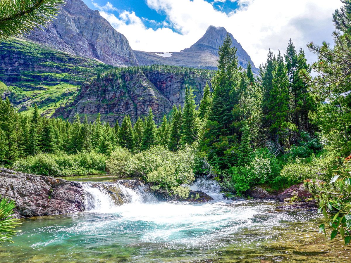
Follow a well-defined path, and almost immediately you will cross a bridge over Wilbur Creek. There is a path down through the forest on your right to Fishercap Lake; however, we prefer to continue straight ahead. Travel on the (sometimes) redrock path. After 1.6mi you will come to the lovely Redrock Lake, flanked by Grinnell Mountain and Grinnell Point towering over it. The lake is fed at the far end by Swiftcurrent Creek and it’s easy to see where the lake gets the name – the lovely rock that takes on a magical hue early and late in the day.
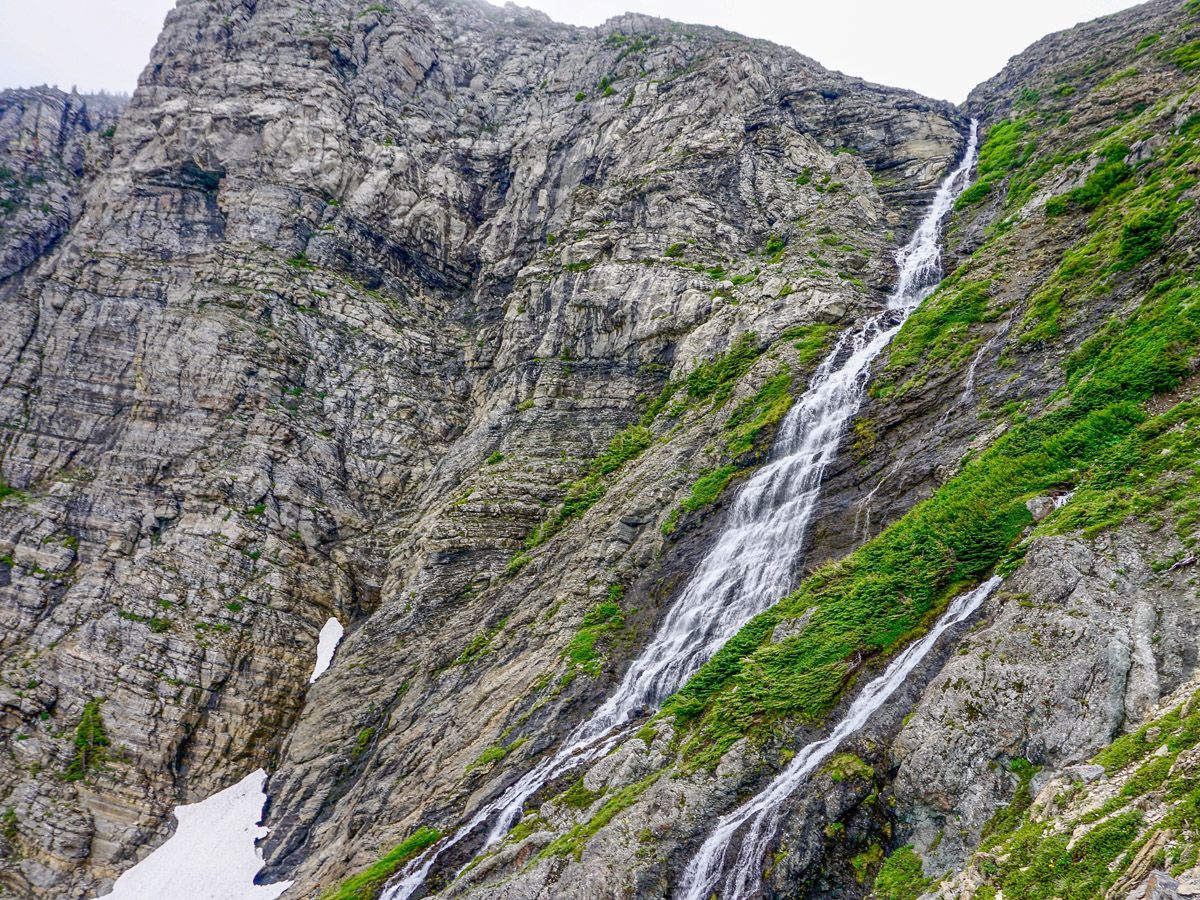
A bit farther on, at roughly 1.9mi from the start, you will come to Redrock Falls. While not the massive falls seen elsewhere in the park, these are beautiful and a good place for a break.
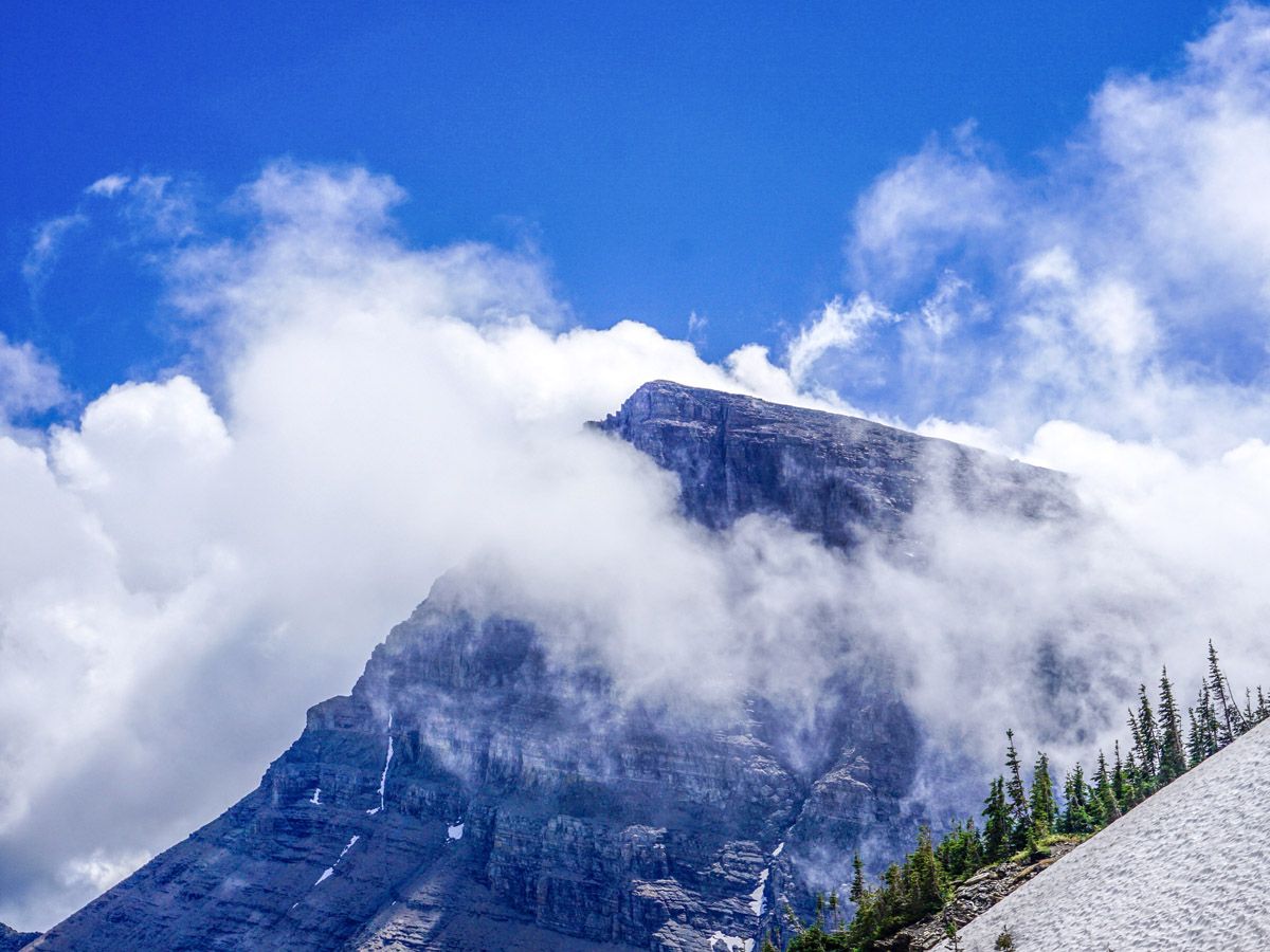
From here, continue 1.6mi through a mix of forest and shrubs that lead up to Bullhead Lake. There are views in all directions at times, with Mount Wilbur on your right, Mount Swiftcurrent dead ahead, and Mount Grinnell on your left.
You will pass a suspension bridge, which is really bouncy, just before reaching the viewpoint for Bullhead Lake (3.4mi from start), a point with some large rocks and a perfect place to take a rest. Look carefully across the lake here, as moose often spend a quiet morning on the far shores. You may even see a bull moose if you’re lucky!
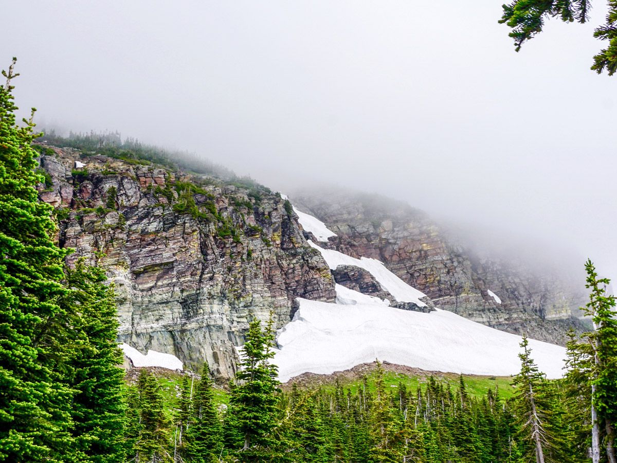
Continue ahead along the path. Cross and re-cross a few streams on rocks before arriving at the base of the switchbacks, which is roughly 4.0mi from the start. Looking up, you may be wondering where the heck the path is going. We won’t spoil it for you, however prepare yourself for another man-made trail along the ledges for which Glacier should be famous. There is no scrambling and the path is wide, though we’ve seen hikers turn back. The exposure on this route is okay.
Head up the slopes of a green hillside along seven switchbacks. This is great for incredible wildflowers early in the summer. You’ll then spend the next 0.9mi on rocky terrain, though the route is absolutely incredible. Cross the upper reaches of Swiftcurrent Creek at 5.7mi, and look back into the forest for your final ascent to the Pass.
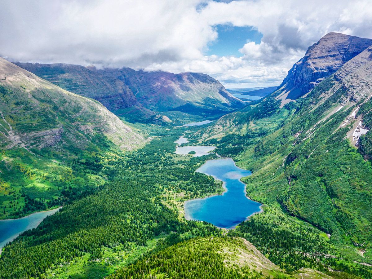
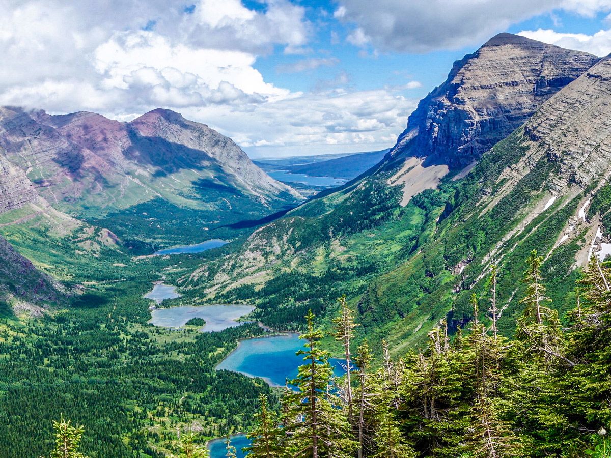
Keep looking back and see the chain of lakes, stretching back to Lake Sherburne.
After such a wonderful hike, the pass is anti-climactic and is marked by a partially destroyed Cairn. Continue along another 1312ft and you will get some spectacular views as you approach the Highline Trail and Granite Park Chalet. You can see Heavens Peak, Mount Cannon, Mount Oberline as well as the areas west of Logan Pass.
If you can, reserve a night at Granite Park Chalet (0.9mi away). This is a wonderful old chalet and operates like a hostel – with incredible views. Book well in advance. From here, you can explore Swiftcurrent Fire Lookout, which is another 1230ft of elevation and boasts beautiful views. You can also make this a circuit by walking back along the Highline Trail, ending up at the Logan Pass Visitor Centre – though that is a roughly 18.6mi day!
For most of us, we return the way we came. This is a rare hike where the return trail provides new, stunning views.
Find more epic hikes in Glacier National Park
Insider Hints
Plan early and reserve a night at Granite Park Chalet to allow for two days and return via the Highline Trail.
Go past Swiftcurrent Pass to get some magnificent views!

Similar hikes to the Swiftcurrent Pass Trail hike
Trout Lake Trail
Trout Lake Trail is a stunning, remote area of Glacier National Park that provides a challenging hike to anyone brave…
Red Eagle Lake Trail
Red Eagle Lake Trail is a beautiful hike that takes you through beautiful scenery and stunning mountains. The trail was…
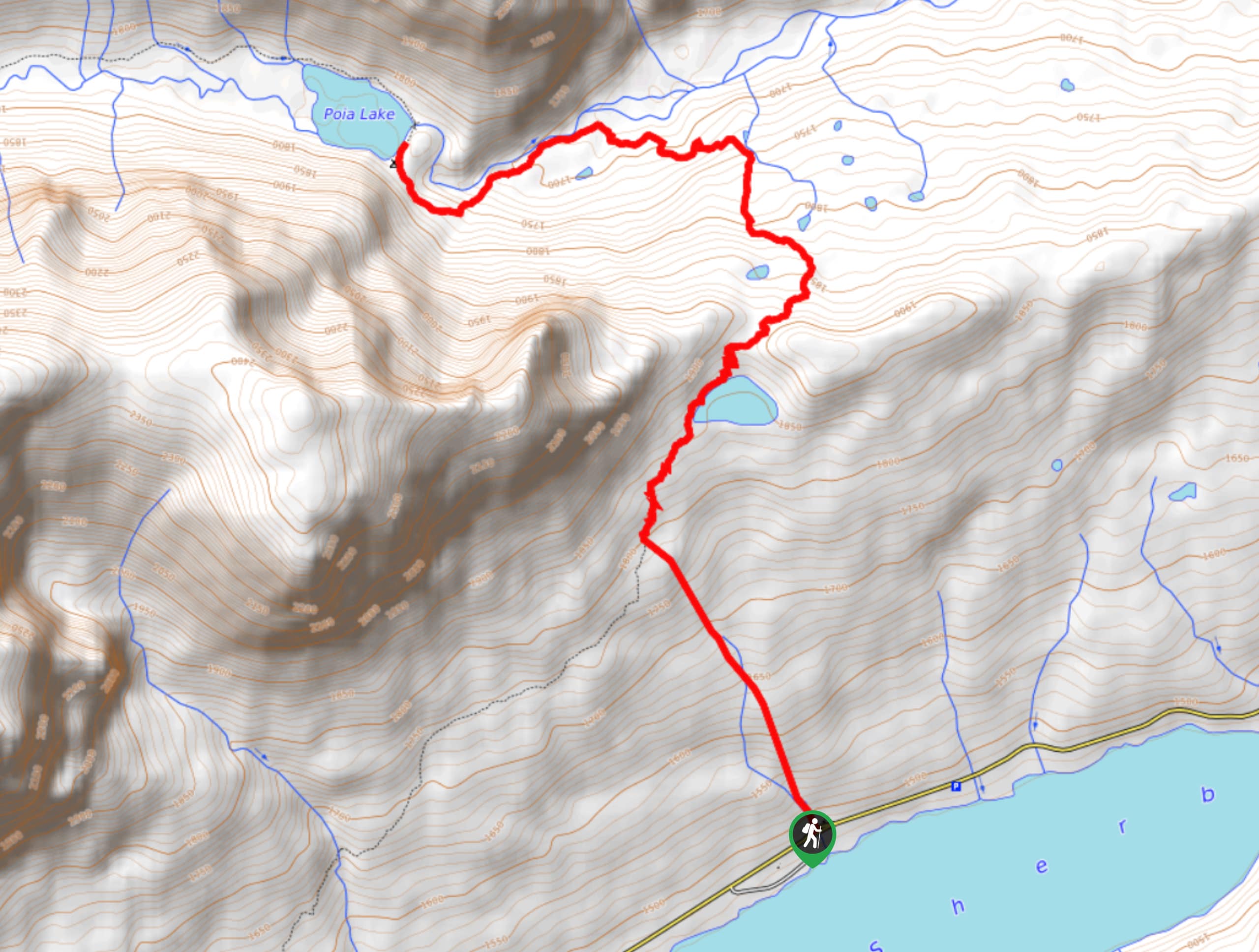
Poia Lake Trail
Poia Lake Trail is a scenic trail that takes you through limestone mountains, climbing ridges and exploring Poia Lake’s pebble…
HikerNolifer 4 years ago
Long, hard and rewarding day hike with good trails and stunning views.
supermario 4 years ago
I enjoyed the hike even on the overcast days. Saw bears, fox, prairie dogs and gorgeous scenery.
E.david 4 years ago
The landscapes, the wildlife, and the mountains, everything is truly unbelievable.
CamilaP. 4 years ago
Challenging and Strenous hike. The Swiftcurrent hike is one of the most beautiful hikes in the United States but you have to work for the views.
LyleM 4 years ago
Some of the best views you will ever see! Gets more strenuous as you go but still doable.
Heidon 4 years ago
Overlooking views was breath taking and well worth hiking up all the switch backs. Lots of wildflowers and saw some cool red and white mushrooms.
Taylor Amanda 4 years ago
Some of the best views you will ever see!! the hike is very attainable.
Tom Pack. 4 years ago
The views from Swiftcurrent pass are stunning and Red rock falls are definitely worth a long stop
Pana Cotta 5 years ago
The hike yields breathaking scenery! The rock looks fantastic as well!
Annie Smith 5 years ago
I didn't do the return on Swiftcurrent pass and just went to the bend on GTTS as we had coordinated a shuttle - great views!