
Elk Rim Trail
View Photos
Elk Rim Trail
Difficulty Rating:
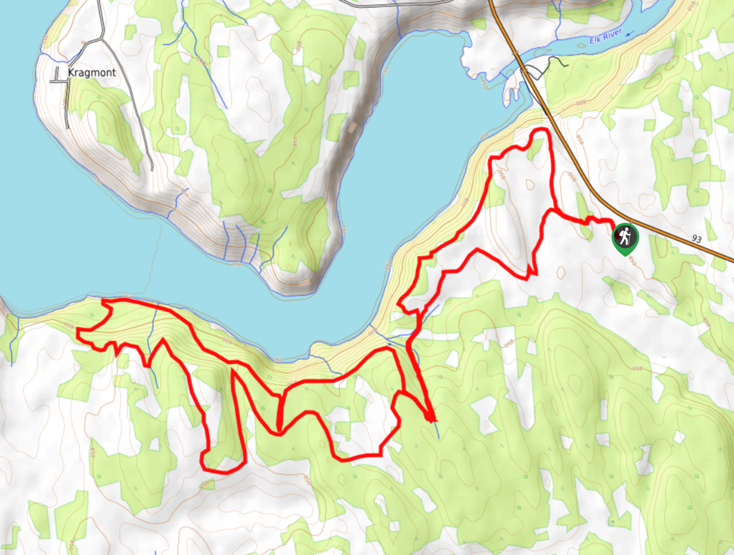
The Elk Rim Trail is a 12.3mi hiking route southwest of Fernie, BC, that follows along the edge of the water at the confluence of the Elk and Kootenay Rivers. The trail is well-maintained and easy to navigate, making it an extended option for casual and experienced hikers. Keep an eye out for passing mountain bikes as this is a multi-use trail.
Getting there
To reach the trailhead for the Elk Rim Trail from Fernie, drive southwest on BC-3 for 19.2mi and take a left onto BC-93. Continue for 9.4mi and make a right to find the trailhead.

About
| When to do | March–November |
| Backcountry Campsites | No |
| Pets allowed | Yes - On Leash |
| Family friendly | No |
| Route Signage | Average |
| Crowd Levels | Moderate |
| Route Type | Circuit |
Elk Rim Trail
Elevation Graph
Weather
Elk Rim Trail Description
Hiking along the Elk Rim Trail is a great outdoor experience in the Fernie area that will allow you to witness the beauty and power of these two majestic rivers along an easy-going route. This trail is a multi-use route primarily used by hikers and mountain bikers; however, the occasional dirt bike or e-bike can be seen on the trail, even though they are forbidden from using it. Keep an eye out for any bikers on the trail and allow them enough room to pass safely. Hikers utilizing this route can expect a good variety of scenery, including a beautiful woodland setting, views over the Elk and Kootenay Rivers, and a sightline looking out onto the surrounding hills and peaks. This is a great option if you are looking for a longer but not so difficult hiking route in the area.
Similar hikes to the Elk Rim Trail hike
Fernie Rail Trail
The Fernie Rail Trail is a 4.3mi out-and-back hiking trail found just west of Mount Fernie Provincial Park…
New South Castle Trail
The New South Castle Trail is a 8.2mi hiking route in Fernie that loops through a dense network…
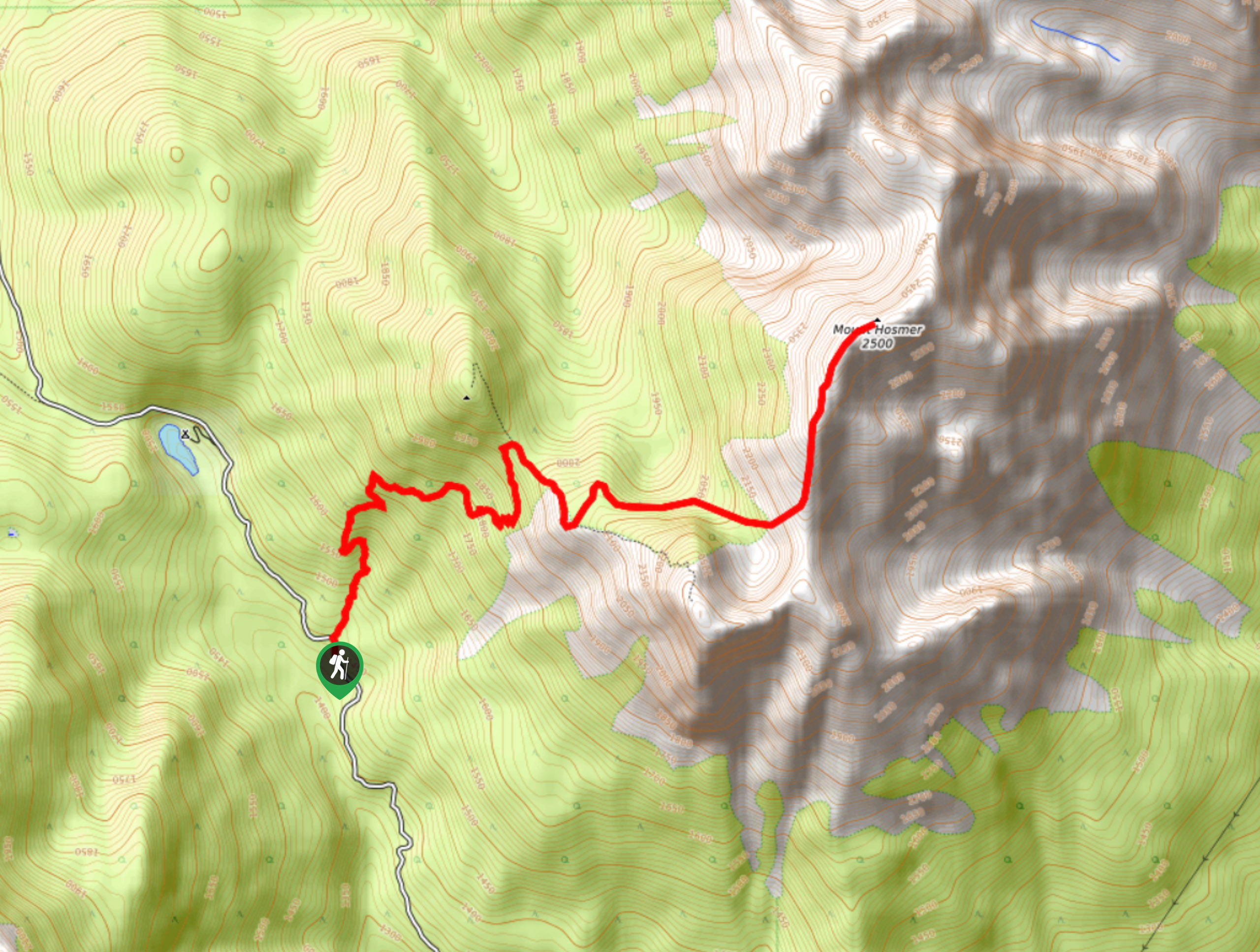
Mount Hosmer Trail
The Mount Hosmer Trail is a 6.5mi out-and-back hiking route near Fernie that will both challenge your resolve…
Comments