Porlock Bay Walk
View Photos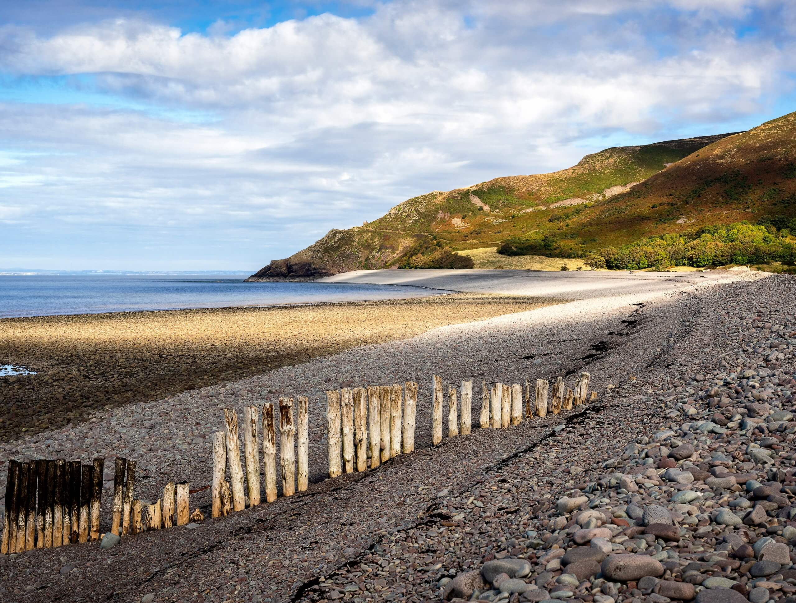
Porlock Bay Walk
Difficulty Rating:
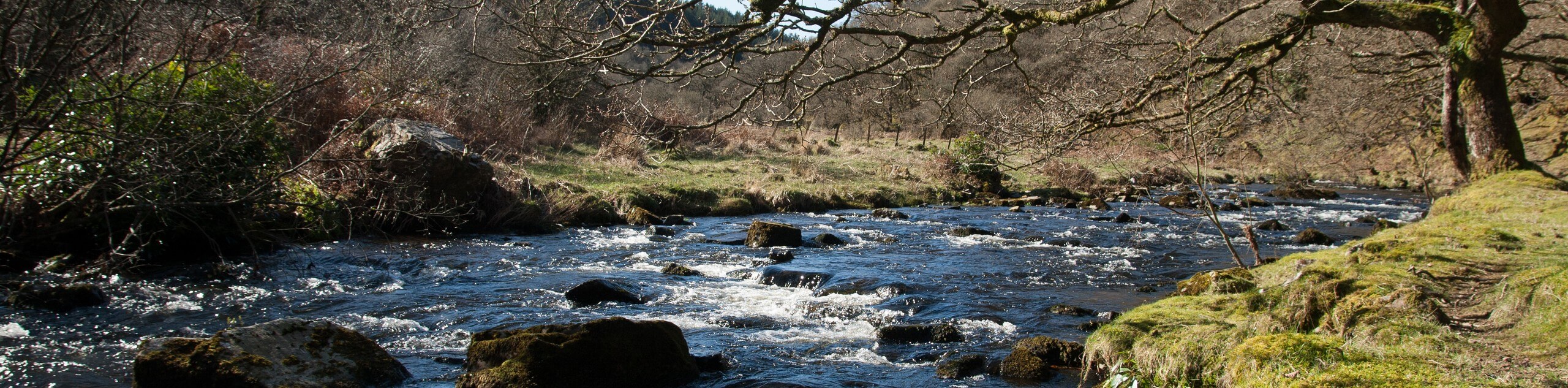
The Porlock Bay Walk is an intermediate length trail in Exmoor National Park that will take you along the shores of the Bristol Channel for some beautiful views. While out walking the trail, you will traverse sandy beaches along the edge of the water, as well areas of fresh and saltwater marshland, before making your way through a few charming villages. This is a fantastic route to explore the scenic coastal landscapes within Exmoor.
Getting there
To reach the trailhead for the Porlock Bay Walk from Minehead, drive west on Hopcott Road/A39 for 4.1mi and turn right to continue on for 230ft. Make a left here and follow the road for 0.7mi before turning right at Bossington Lane. You will find the entrance to the car park on the right after 0.2mi.

About
| Backcountry Campground | Sparkhayes Camping Site |
| Mountain Huts | Year Round |
| Pets allowed | Yes - On Leash |
| Family friendly | Yes |
| Route Signage | Average |
| Crowd Levels | Moderate |
| Route Type | Circuit |
Porlock Bay Walk
Elevation Graph
Weather
Porlock Bay Walk Description
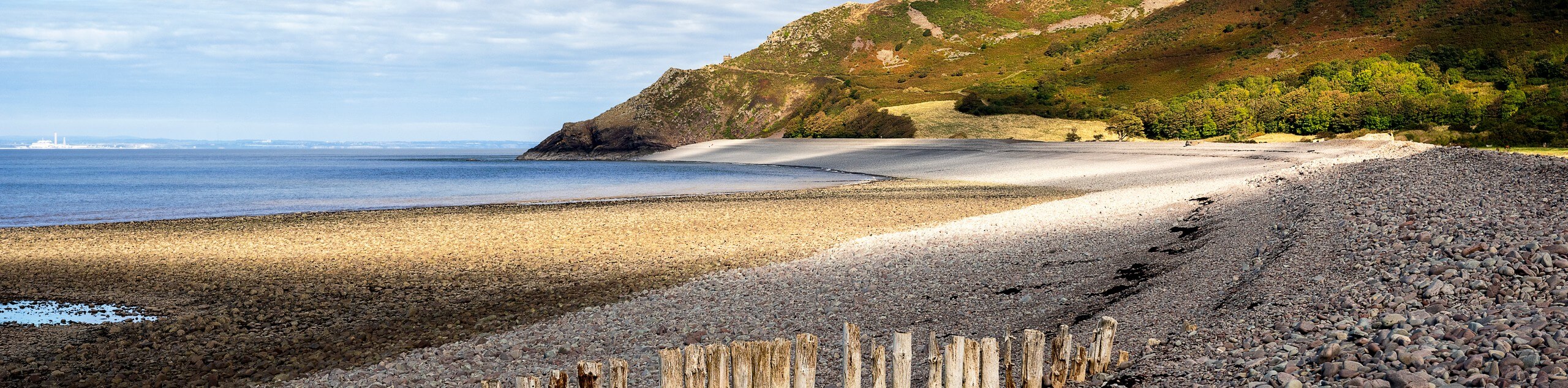
The walk along Porlock Bay is a beautiful adventure that is popular with a variety of outdoor enthusiasts, from those who enjoy strolling along the beach to walkers that are simply trying to get out for a decent bit of exercise. The route will take you through several different coastal environments that include stretches of sandy beach that are often littered with driftwood after a good storm, as well as areas of salt and freshwater marsh. Some stretches of terrain along the route might be a bit wet and muddy, whereas others involve walking uphill for brief periods of time, so make sure to wear sturdy walking boots that are ideally water-resistant in order to comfortably traverse the trail.
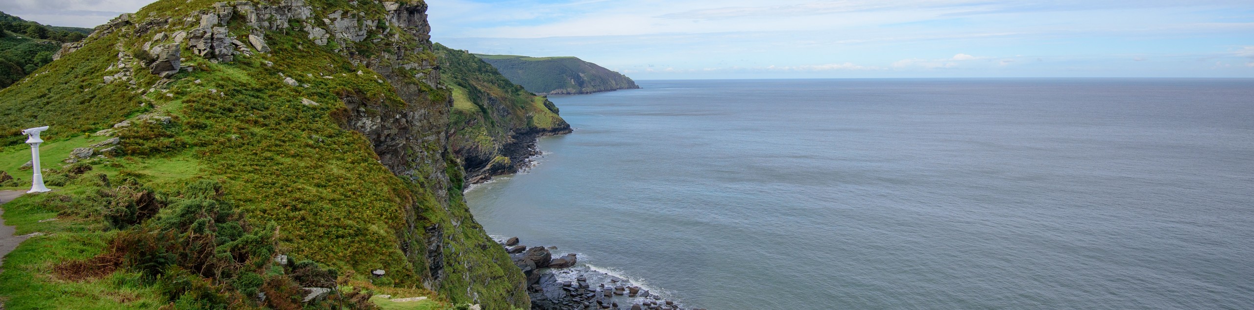
Setting out from the car park in Bossington, you will initially head to the north, climbing slightly uphill to reach the coastguard lookout at Hurlstone Point for some beautifully scenic views overlooking the Bristol Channel, before turning to the southwest to walk along Bossington Beach. From here, you will pass through a vast stretch of marshland terrain, continuing on to the west until you arrive at the village of Porlock Weir. At this point, you will follow the route to the southeast, as it traverses a section of forested hillside on the way to the village of Porlock. Take some time to explore the charming streets here before traversing the open countryside to the northeast on the return to the car park in Bossington.
Similar hikes to the Porlock Bay Walk hike
South West Coast Path: Minehead to County Gate
Walking the South West Coast Path: Minehead to County Gate is a wonderful long-distance route that will provide stunning views…
Valley of the Rocks and Lynton Outer Loop
The Valley of the Rocks and Lynton Outer Loop is a wonderful excursion in Exmoor National Park that will lead…
Badgworthy Water and Doone Country Loop
The Badgworthy Water and Doone Country Loop is an amazing trail that will allow you to experience a variety of…
Comments