Badgworthy Water and Doone Country Loop
View Photos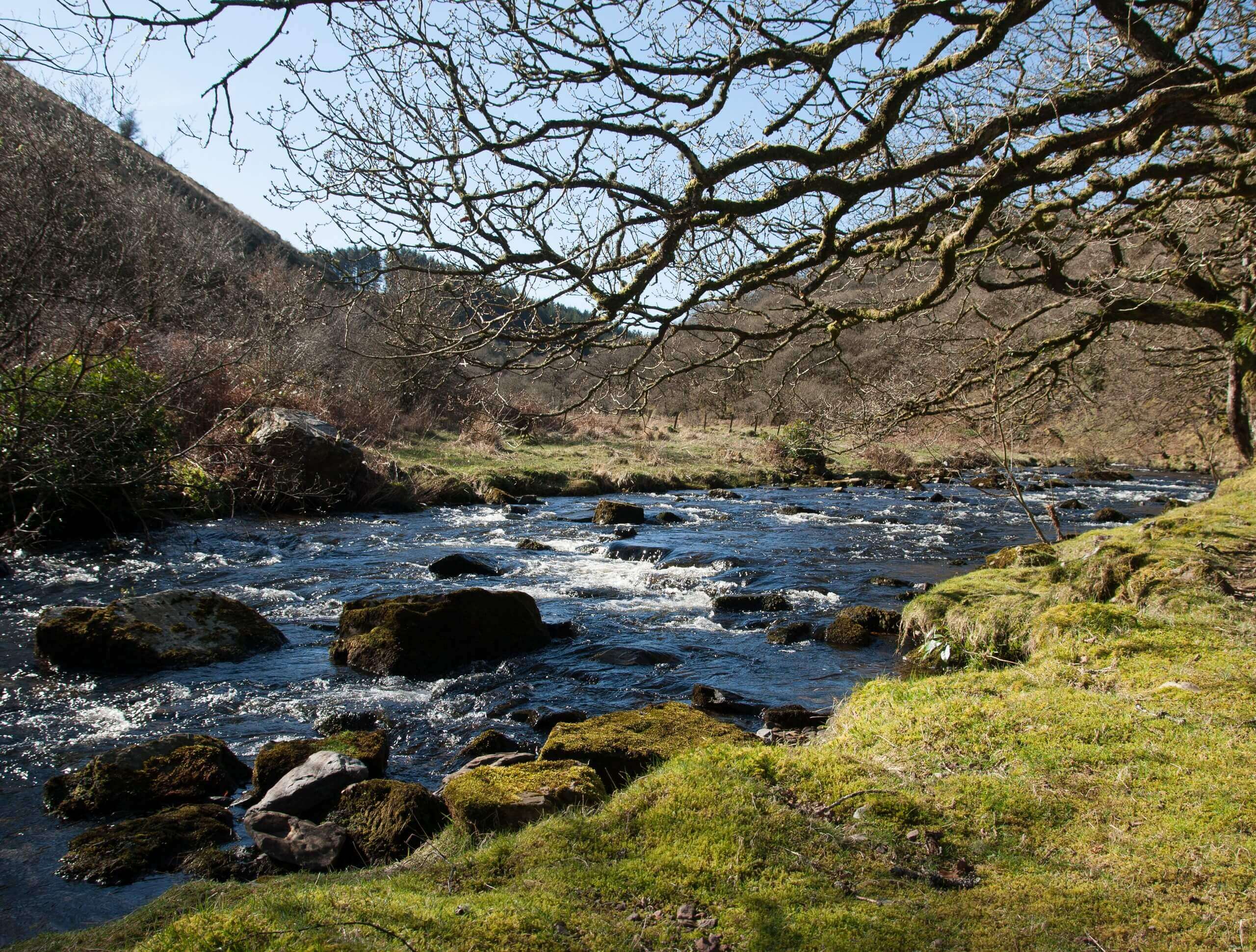
Badgworthy Water and Doone Country Loop
Difficulty Rating:
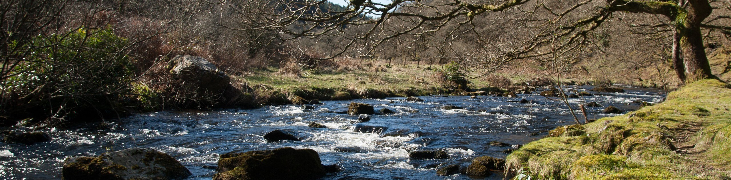
The Badgworthy Water and Doone Country Loop is an amazing trail that will allow you to experience a variety of scenery and terrain types within the beautiful expanse of Exmoor National Park. While out on the trail, you will meander along the edge of quaint streams and make your way through tranquil woodland settings before traversing the rugged terrain of the moor. Make sure to wear water-resistant footwear, as the trail can be quite muddy in certain areas.
Getting there
To reach the trailhead for the Badgworthy Water and Doone Country Loop from the Staghunters Inn in Brendon, drive northeast on Church Hill for 0.2mi and continue straight onto Leeford Lane. Follow this for 2.1mi to find the car park on the left.

About
| Backcountry Campground | Cloud Farm Campsite, Lorna Doone Campsite |
| When to do | Year-Round |
| Pets allowed | Yes - On Leash |
| Family friendly | Older Children only |
| Route Signage | Average |
| Crowd Levels | Moderate |
| Route Type | Circuit |
Badgworthy Water and Doone Country Loop
Elevation Graph
Weather
Badgworthy Water and Doone Country Trail Description
Walking the Badgworthy Water and Doone Country Loop is a relaxing and beautifully scenic excursion that is a bit on the longer side, but can still be undertaken as a fun family adventure thanks to some fairly easy-going terrain. The trail will lead you along several winding waterways, including Oare Water and Badgworthy Water, as you make your way through serene stretches of forest and picturesque fields. The last portion of the walk features a bit of an uphill climb to traverse the moor; however, you will enjoy some amazing views that sweep across the surrounding landscape. Walking this route is the perfect way to get acquainted with the many different terrain types that can be found within Exmoor National Park.
Similar hikes to the Badgworthy Water and Doone Country Loop hike
South West Coast Path: Minehead to County Gate
Walking the South West Coast Path: Minehead to County Gate is a wonderful long-distance route that will provide stunning views…
Valley of the Rocks and Lynton Outer Loop
The Valley of the Rocks and Lynton Outer Loop is a wonderful excursion in Exmoor National Park that will lead…
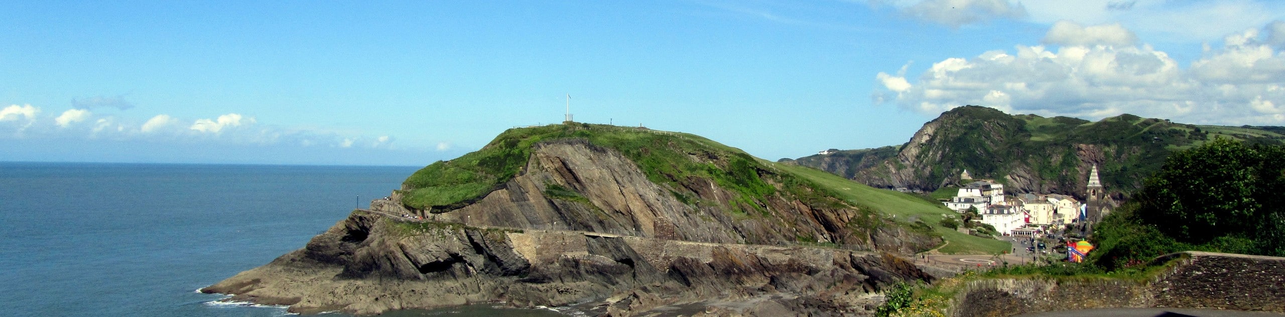
South West Coast Path: Trentishoe to Ilfracombe
The South West Coast Path: Trentishoe to Ilfracombe is a lengthy walk along the coast of North Devon that will…
Comments