Lynton, Watersmeet, and Valley oF the Rocks Walk
View Photos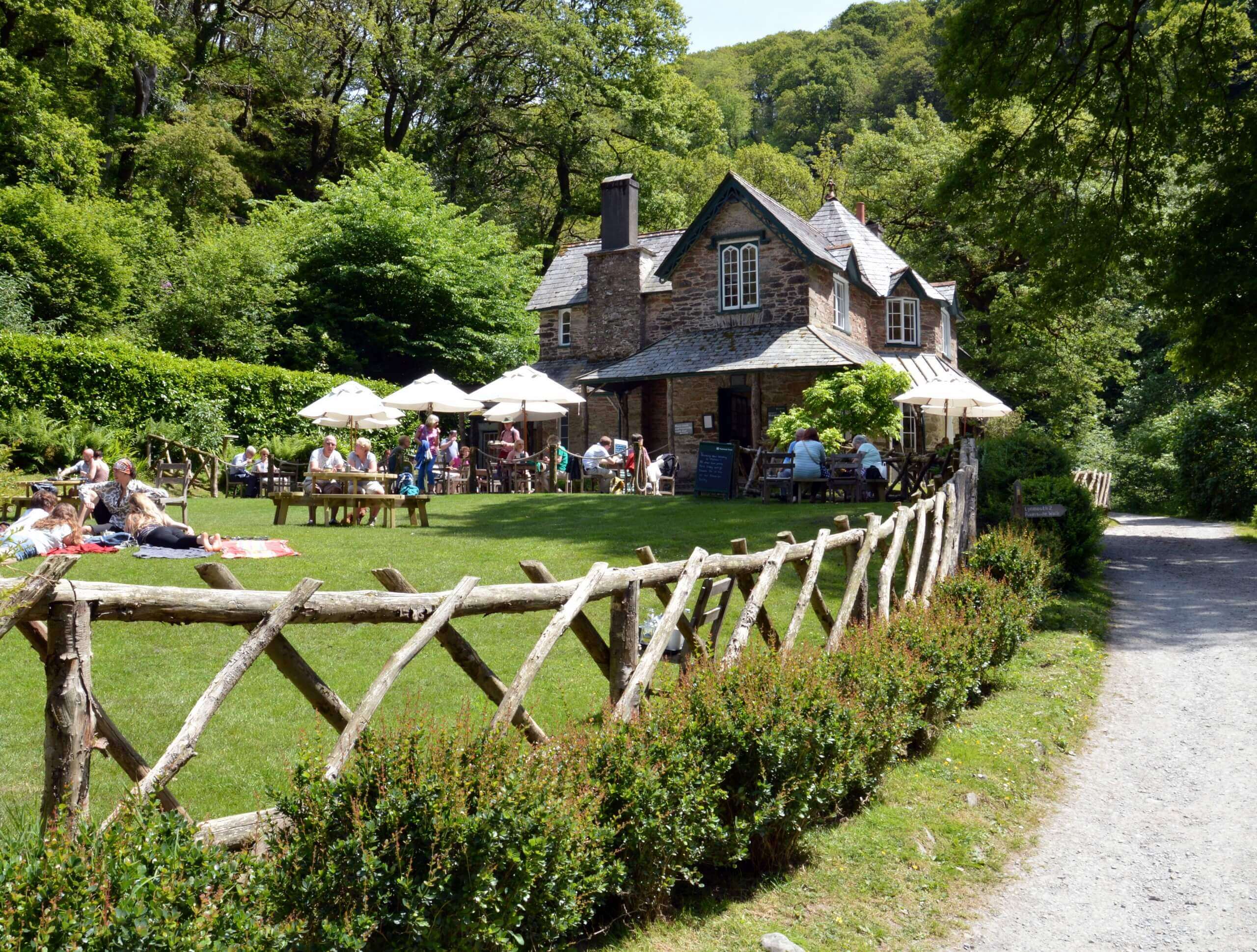
Lynton, Watersmeet, and Valley oF the Rocks Walk
Difficulty Rating:
Walking the Lynton, Watersmeet, and Valley of the Rocks Trail is a fun, if challenging at times, walk that will take you through the coastal landscapes of Dartmoor National Park. While out on the trail, you will explore the undulating terrain along the East Lyn River before trekking through the town of Lynton to reach the Valley of the Rocks, all the while enjoying scenic views of the Bristol Channel. Sections of it may be steep and tough, but the spectacular views are well worth the effort.
Getting there
To reach the trailhead for the Lynton, Watersmeet, and Valley of the Rocks Trail from the primary school in Lynton, drive southeast on Castle Hill for 0.1mi and turn left onto Lynmouth Hill, following it for 0.3mi. Make a left on Countisbury Hill and you will arrive at the trailhead in 115ft. Parking can be found nearby in the village.

About
| Backcountry Campground | No |
| When to do | March-November |
| Pets allowed | Yes |
| Family friendly | Older Children only |
| Route Signage | Average |
| Crowd Levels | Moderate |
| Route Type | Circuit |
Lynton, Watersmeet, and Valley oF the Rocks Walk
Elevation Graph
Weather
Lynton, Watersmeet, and Valley of the Rocks Walk Description
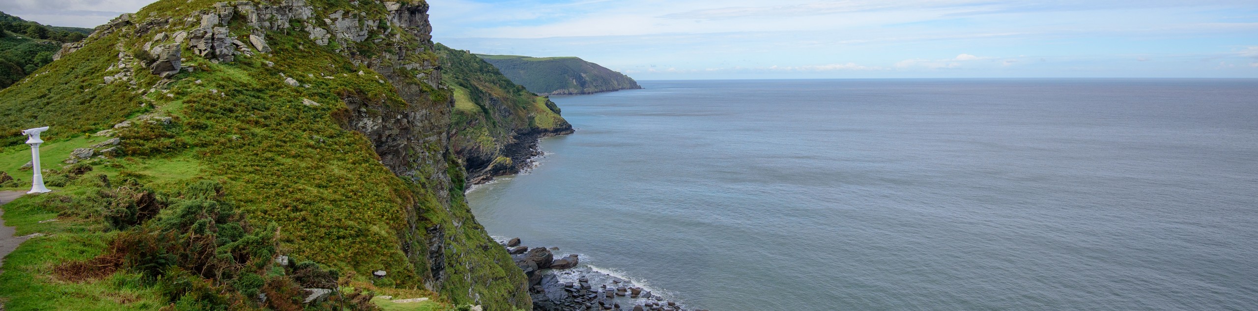
Although it isn’t a technically challenging route, the Lynton, Watersmeet, and Valley of the Rocks Walk can be difficult at times due to its overall length and steep/rugged coastal terrain. Make sure to wear proper boots with good ankle support to better traverse the trail. On the plus side of this rugged coastal adventure, you will be able to experience some truly amazing views of the Exmoor National Park landscape, as well as the Bristol Channel stretching out to the northwest.
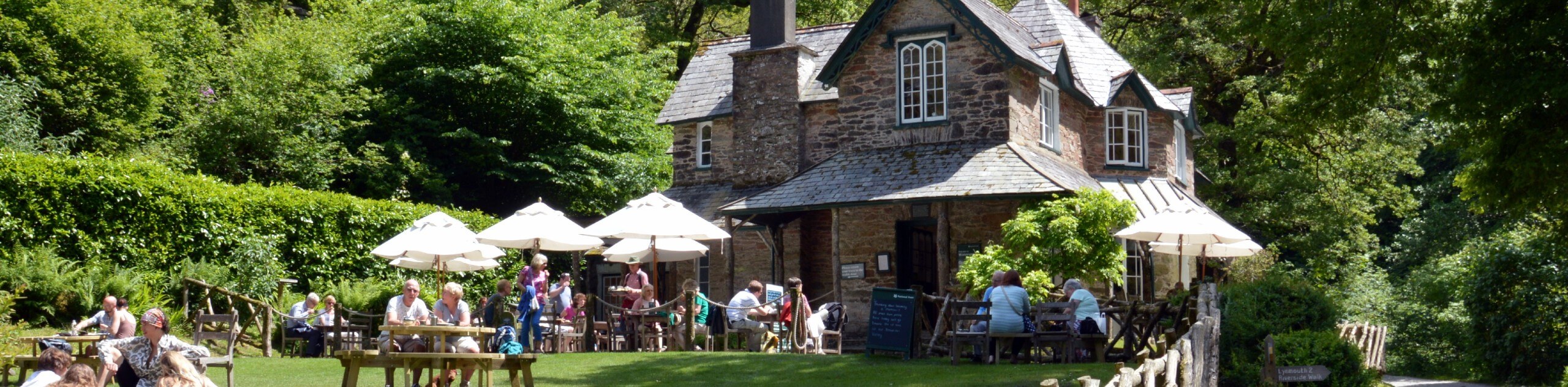
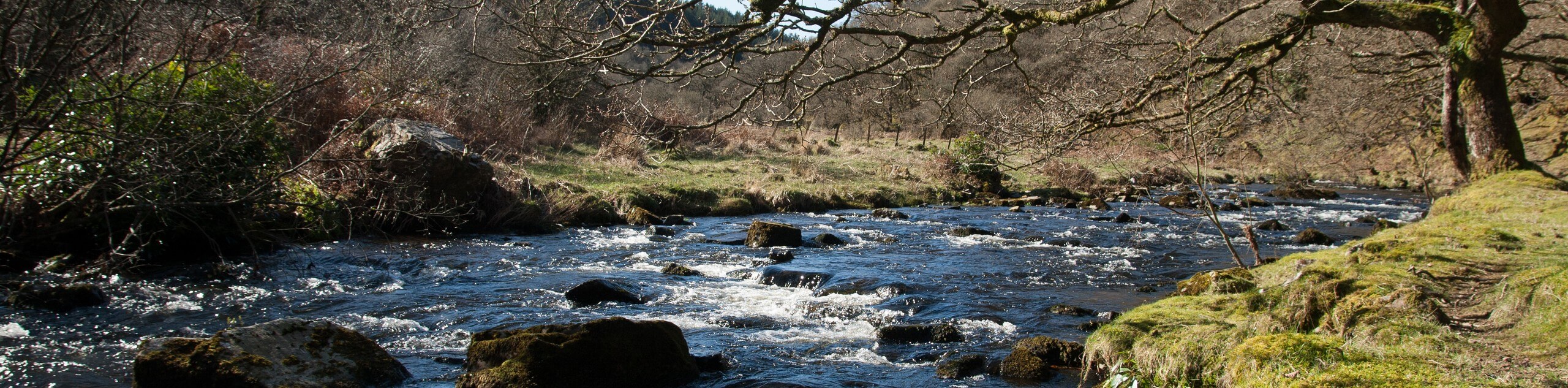
Setting out from the trailhead, make your way to the southeast along the East Lyn River and follow it through the peaceful woodland gorge. Eventually, you will climb uphill and cross the open countryside to arrive at the village of Countisbury, passing by the church and turning to the west to walk along the terrain above the cliffs and water. Continue to the west to descend the hillside toward Blacklands Beach before climbing up the steep hillside through the town of Lynton. Looping through the countryside to the southeast and heading downhill, you will pass by Lee Abbey and turn back to the northeast to make your way through the Valley of the Rocks, which offers some breathtaking views of the rugged coastal landscape. From here, you will continue along the trail as it traverses the sloping coastal terrain to bring you back to the trailhead where you began your journey.
Similar hikes to the Lynton, Watersmeet, and Valley oF the Rocks Walk hike
South West Coast Path: Minehead to County Gate
Walking the South West Coast Path: Minehead to County Gate is a wonderful long-distance route that will provide stunning views…
Valley of the Rocks and Lynton Outer Loop
The Valley of the Rocks and Lynton Outer Loop is a wonderful excursion in Exmoor National Park that will lead…
Badgworthy Water and Doone Country Loop
The Badgworthy Water and Doone Country Loop is an amazing trail that will allow you to experience a variety of…
Comments