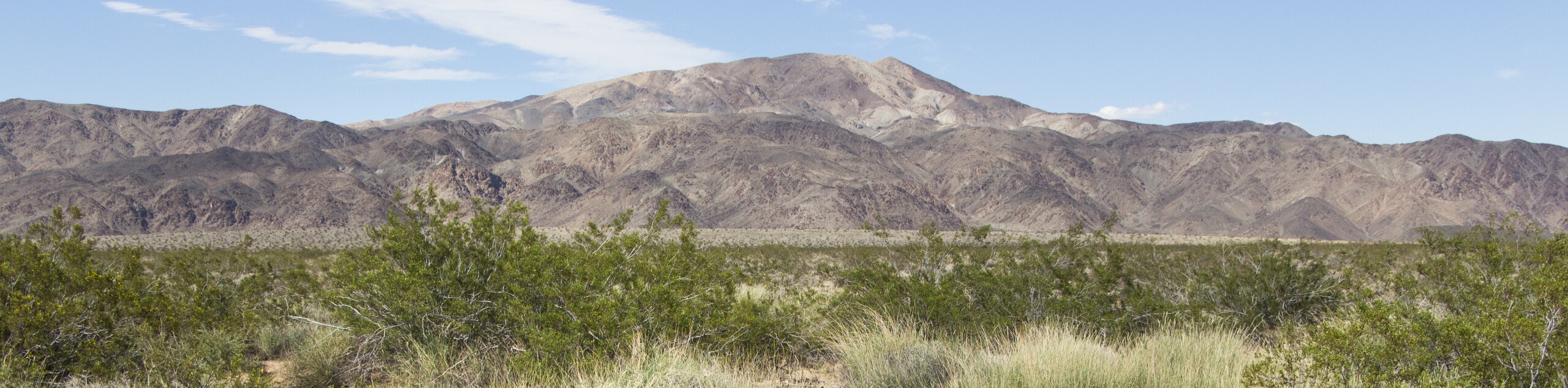
Turkey Flats Loop Trail
View Photos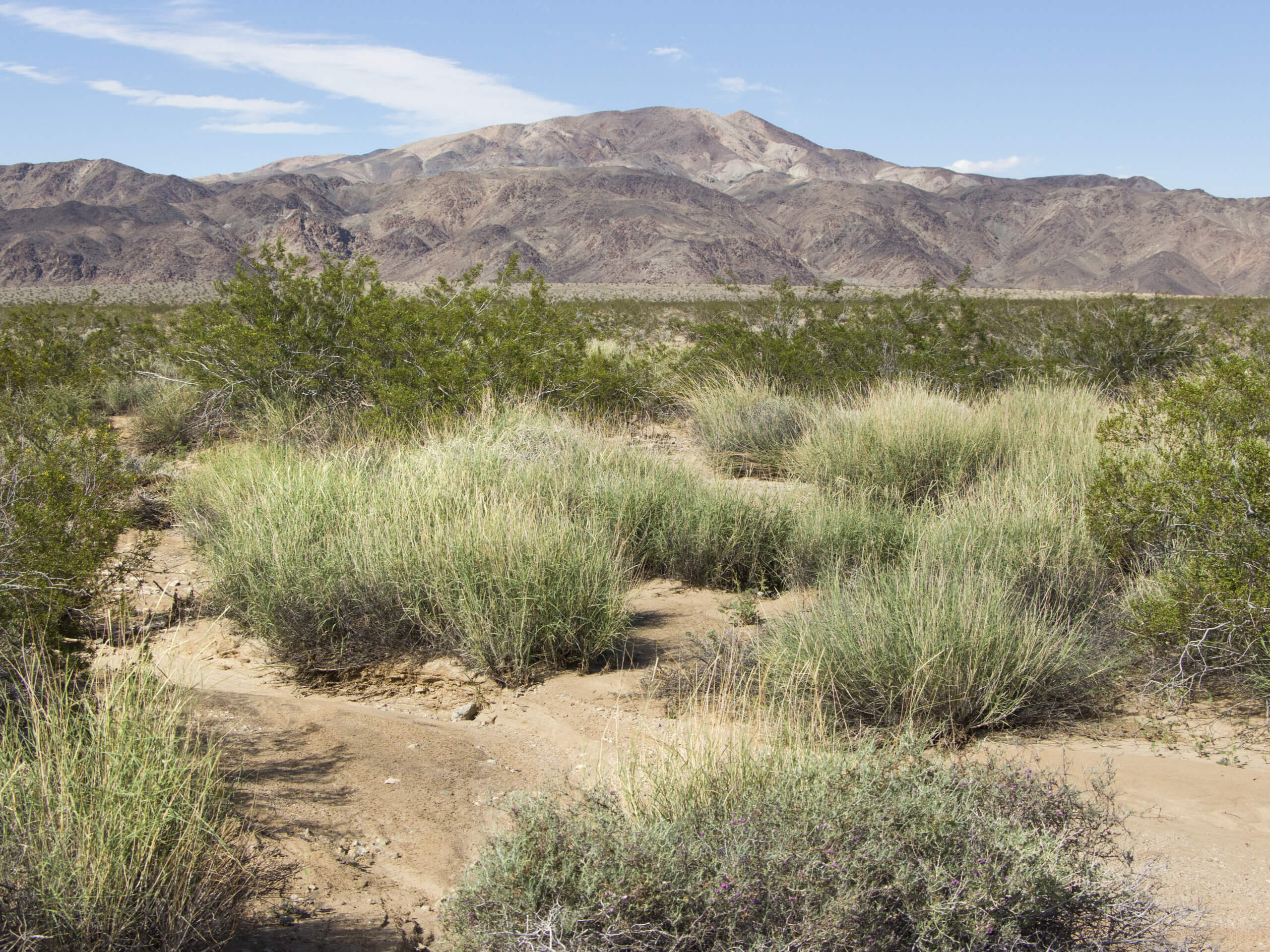
Turkey Flats Loop Trail
Difficulty Rating:
The Turkey Flats Loop Trail is a wonderful intermediate length hiking route in Colorado that will lead you through a beautiful stretch of woodland terrain in the Grand Mesa National Forest. While out hiking the trail, you will traverse some undulating terrain and take in the natural beauty of the forest, before visiting the Fruita Reservoir No. 1 on the return leg. This is a great adventure if you are looking to lose yourself and reconnect with nature.
Getting there
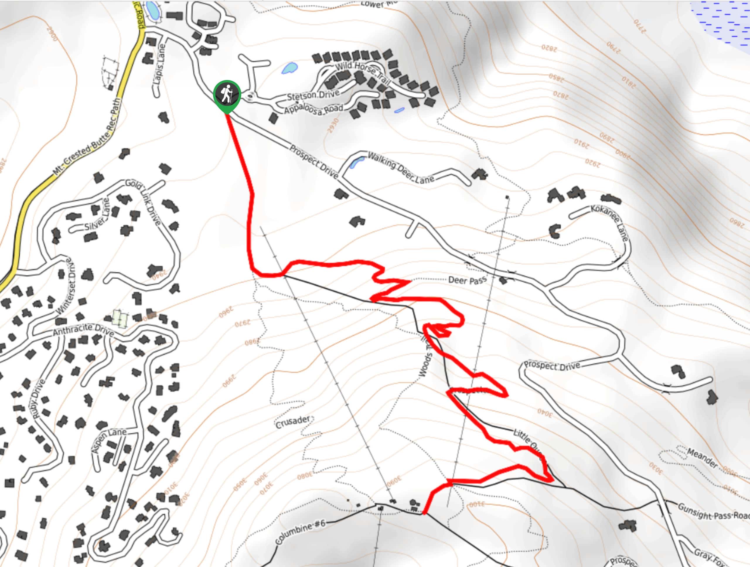
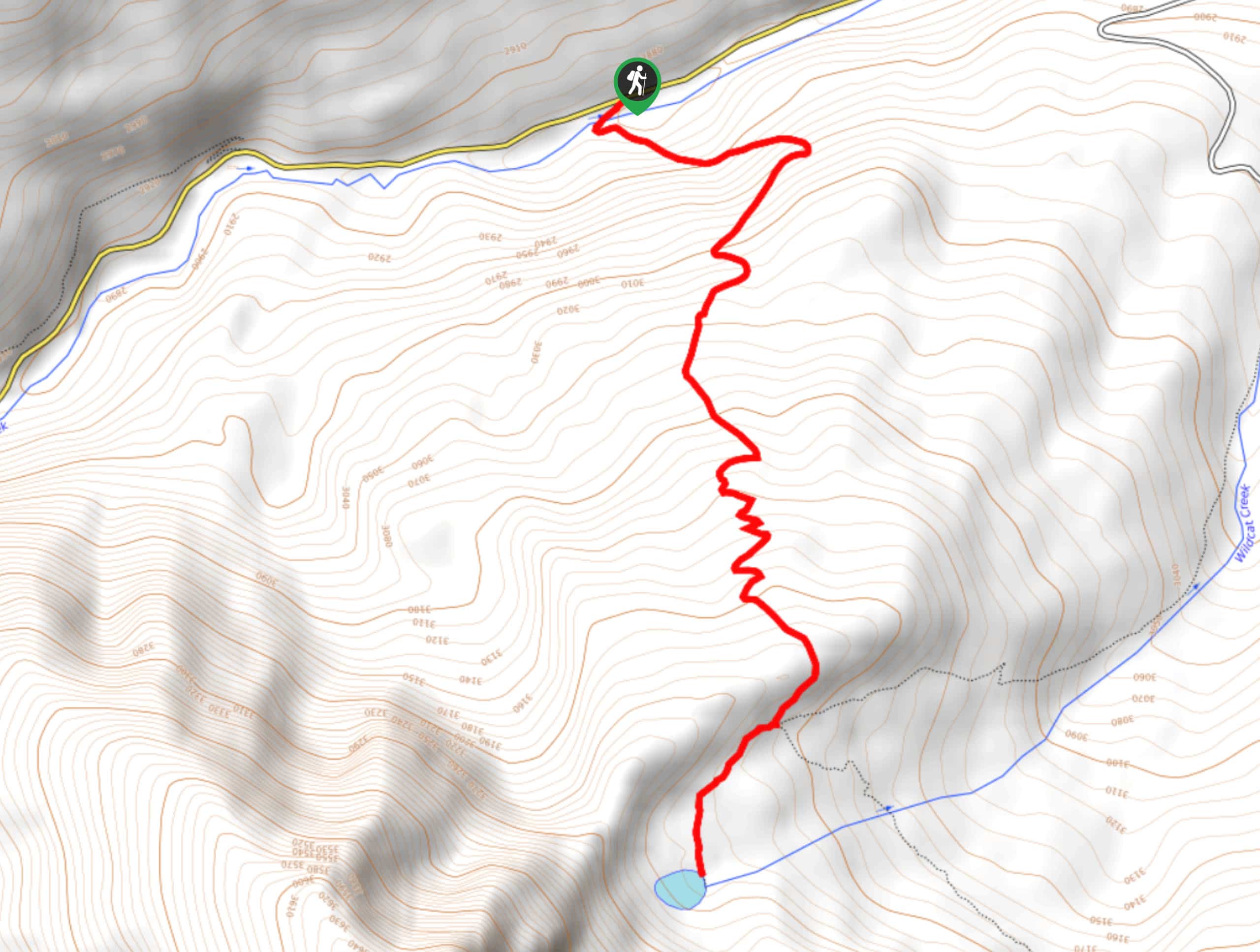
The starting point for the Turkey Flats Loop Trail can be found at the parking lot along S16 ½ Road, just 0.8mi southwest of the Fruita Picnic Site.

About
| Backcountry Campground | No |
| When to do | March-November |
| Pets allowed | Yes - On Leash |
| Family friendly | Older Children only |
| Route Signage | Average |
| Crowd Levels | Moderate |
| Route Type | Lollipop |
Turkey Flats Loop Trail
Elevation Graph
Weather
Turkey Flats Loop Trail Description
Whether you are looking to get out on a longer hiking route to improve your physical fitness or are simply hoping to enjoy the calm that comes from exploring a dense stretch of forest, the Turkey Flats Loop Trail is an excellent trail that will be sure not to disappoint.
Setting out from the roadside parking area, you will head south across the road and enter into the cover of the forest, passing through the atmospheric woodland landscape before climbing uphill to the southeast. Here, you will head right at a fork in the path and and continue on along the waters of Haypress Creek.
After climbing uphill to reach a junction with the Ridge Trail, you will turn left and follow it to the northeast, eventually following the aptly named North East Creek downhill to arrive at the shores of the Fruita Reservoir No.1. After passing by the reservoir, you will continue through the forest to the north, eventually turning to the southwest across the undulating terrain to arrive back at the initial junction from earlier on your hike. Turning right here, you will follow the trail back through the forest on the return to the trailhead where you began.
Similar hikes to the Turkey Flats Loop Trail hike
Prospector Trail
The Prospector Trail is a fun hiking adventure near Crested Butte, Colorado that will take you uphill for beautiful views…
Lily Lake Trail #639
The Lily Lake Trail #639 is an easy-going hiking route in the Elk Mountains of Colorado that will lead you…
Green Lake via Carbon Trail
The Green Lake via Carbon Trail is an amazing experience in Crested Butte, Colorado that will take you to a…
Comments