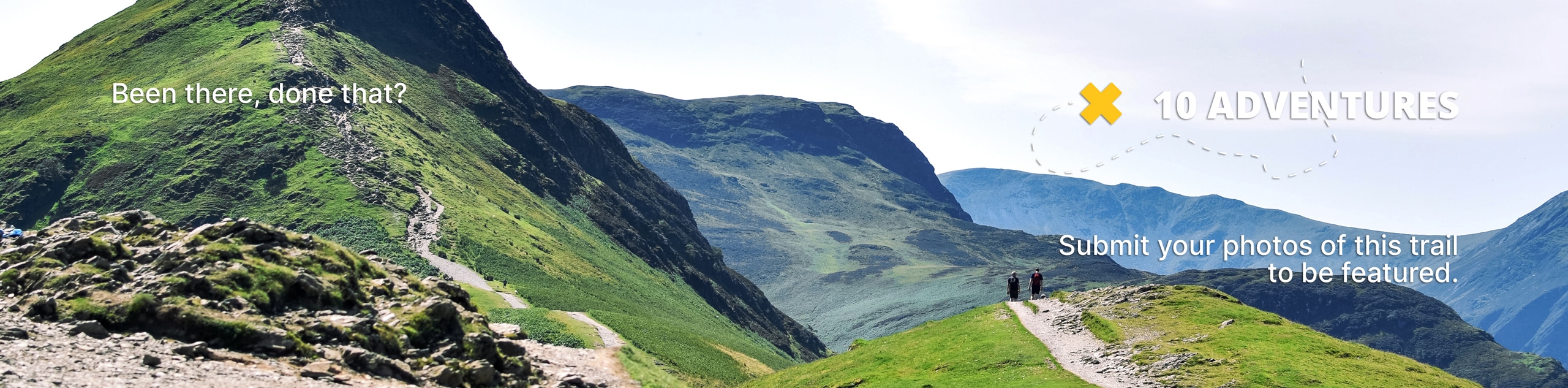
Mesa Top Trail to Flowing Park Reservoir Hike
View Photos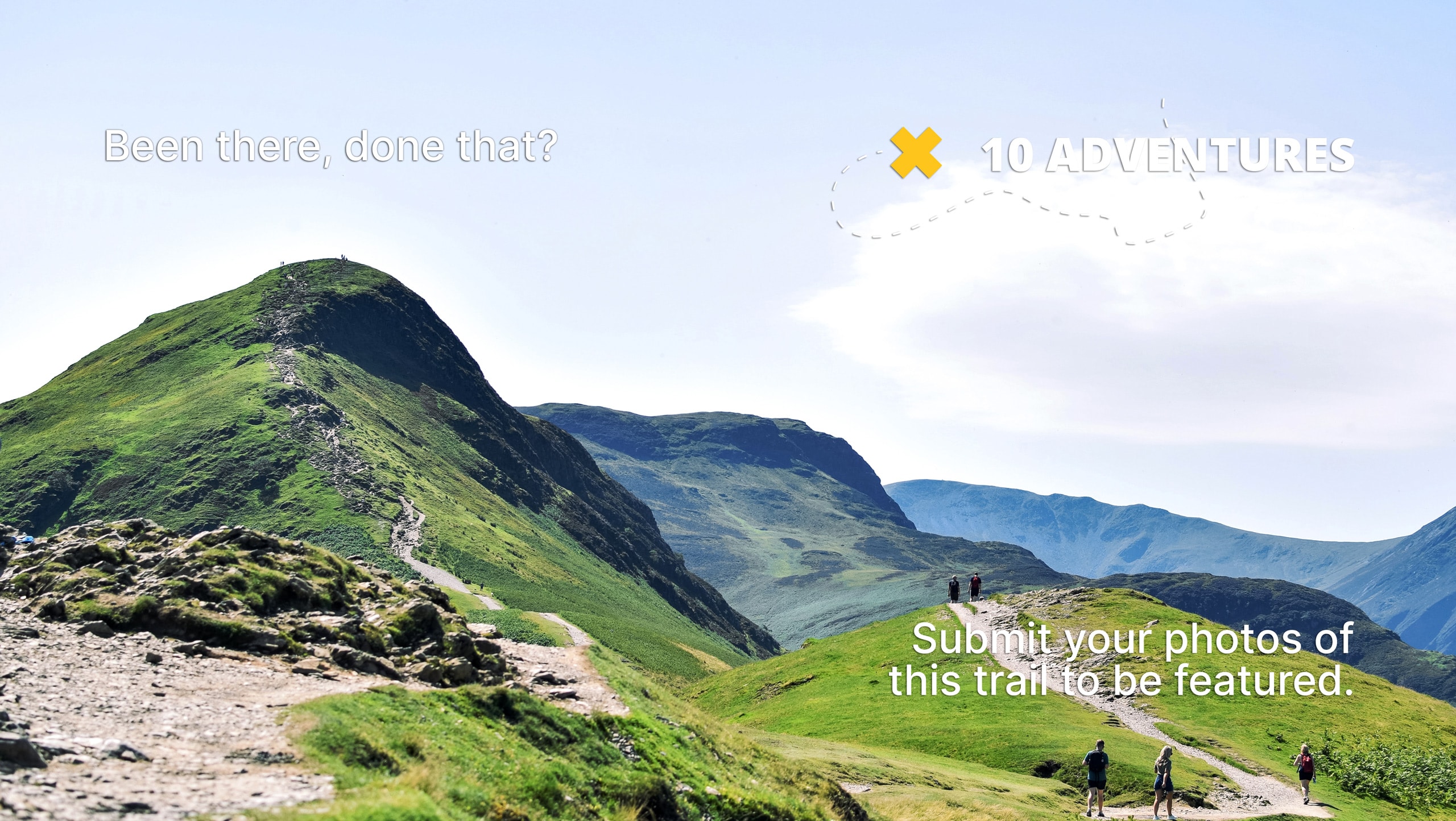
Mesa Top Trail to Flowing Park Reservoir Hike
Difficulty Rating:
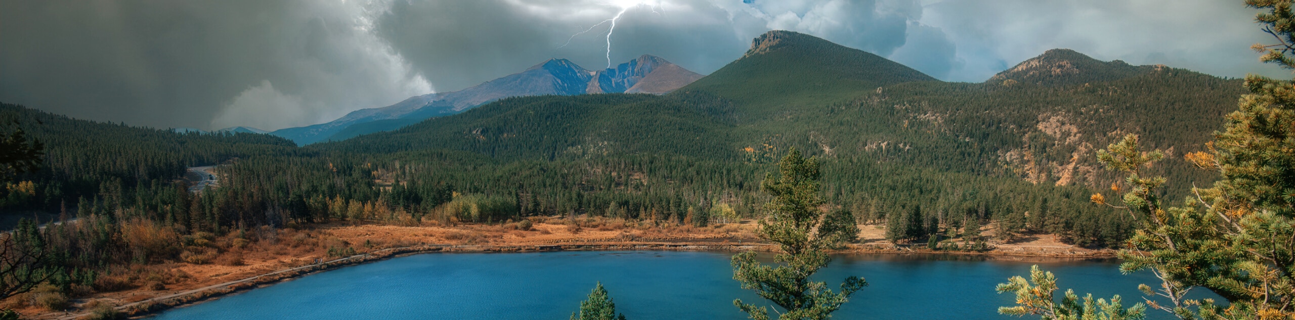
The Mesa Top Trail to Flowing Park Reservoir Hike is a beautifully scenic, albeit long, adventure near Grand Meas, Colorado that will produce stunning views of the surrounding landscape. While out hiking the trail, you will pass through charming meadows, traverse vast stretches of woodland terrain, and climb up to scenic overlooks, before arriving at the shores of Flowing Park Reservoir. Be sure to bring plenty of water and wear proper hiking boots for this long and arduous journey.
Getting there
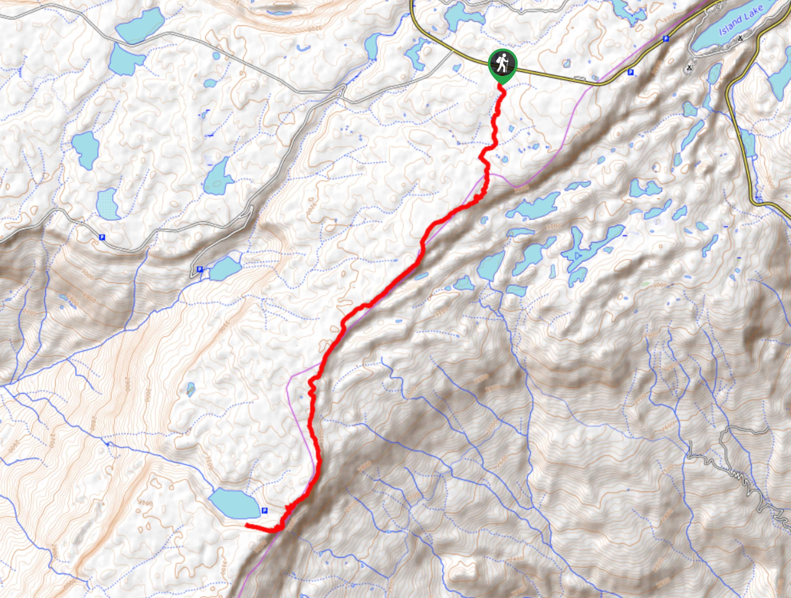
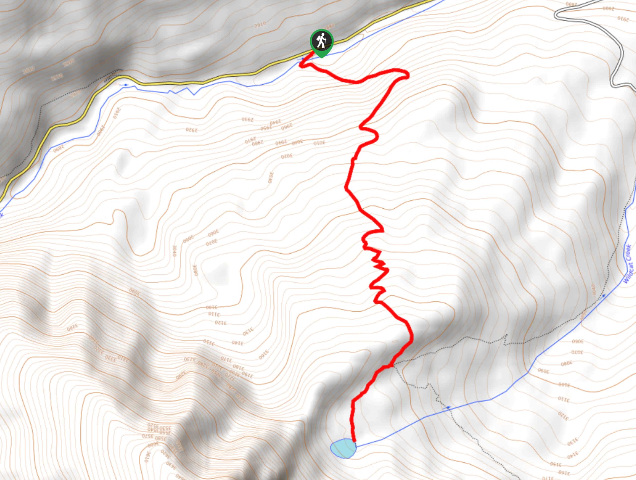
The trailhead for the Mesa Top Trail to Flowing Park Reservoir Hike can be found at the car park 4.0mi southwest of the Grand Mesa Visitor Center along CR65.

About
| Backcountry Campground | No |
| When to do | July-August |
| Pets allowed | Yes - On Leash |
| Family friendly | No |
| Route Signage | Average |
| Crowd Levels | Low |
| Route Type | Out and back |
Mesa Top Trail to Flowing Park Reservoir Hike
Elevation Graph
Weather
Mesa Top Trail to Flowing Park Reservoir Hike Description
If you are looking for a long-distance hiking route that will showcase the natural beauty of the Grand Mesa area of Colorado, then the Mesa Top Trail to Flowing Park Reservoir will be a great option for you to explore. In addition to the variety of terrain and scenery spread throughout this lengthy route, be sure to keep an eye out for the various wildlife species that call the area home.
Setting out from the trailhead, you will initially pass through some light tree cover, before traversing a vast meadow to the southwest. From there, the trail will lead you uphill through the forest to an overlook with sweeping views of the surrounding landscape.
Continuing on to the southwest, you will pass through the intermittent forests and clearings along the edge of the cliff, taking in the beautiful views before finally arriving at the scenic shores of Flowing Park Reservoir. Take some time here to rest up and enjoy the views across the water, before heading back along the trail for the return leg of this long adventure.
Similar hikes to the Mesa Top Trail to Flowing Park Reservoir Hike hike
Prospector Trail
The Prospector Trail is a fun hiking adventure near Crested Butte, Colorado that will take you uphill for beautiful views…
Lily Lake Trail #639
The Lily Lake Trail #639 is an easy-going hiking route in the Elk Mountains of Colorado that will lead you…
Green Lake via Carbon Trail
The Green Lake via Carbon Trail is an amazing experience in Crested Butte, Colorado that will take you to a…
Comments