Lost Lake Campground Walk
View Photos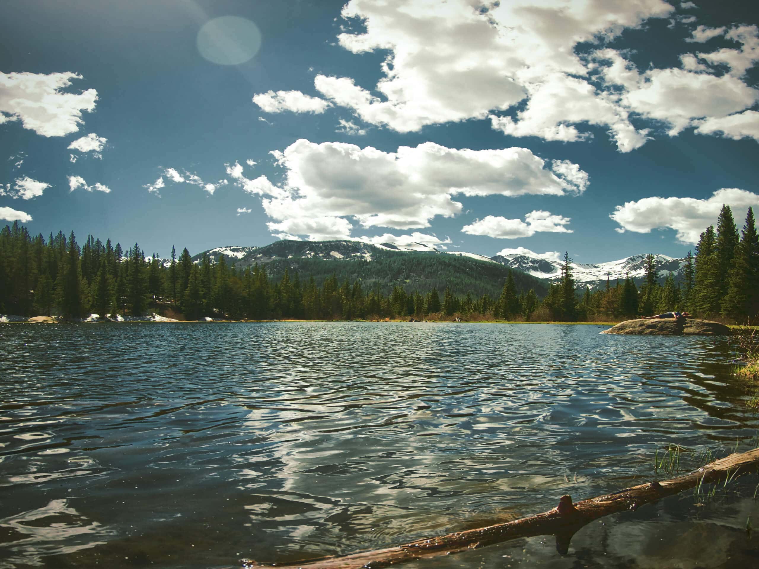
Lost Lake Campground Walk
Difficulty Rating:
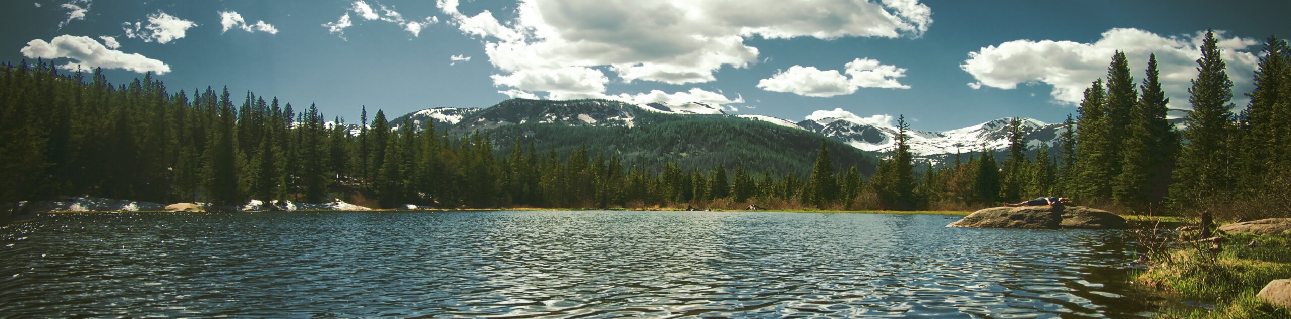
The Lost Lake Campground Walk is a short adventure in the Elk Mountains of Colorado that will lead you along well-maintained paved pathways through the forest. While out on the trail, you will leave the shores of Lost Lake Slough behind and follow the path through a stretch of light forest. This is an extremely easy hiking route that is suitable for outdoor enthusiasts of all ages and skill levels.
Getting there
The trailhead for the Lost Lake Campground Walk can be found at the Lost Lake Campground at the end of FS-706.

About
| Backcountry Campground | Lost Lake Campground |
| When to do | May-November |
| Pets allowed | Yes - On Leash |
| Family friendly | Yes |
| Route Signage | Average |
| Crowd Levels | Moderate |
| Route Type | Out and back |
Lost Lake Campground Walk
Elevation Graph
Weather
Lost Lake Campground Walk Description
If you are camping in the Lost Lake area and are looking to get out and enjoy a relaxing stroll, then the Lost Lake Campground Walk is a great option. This route simply utilizes the paved pathways of the campground to pass through some sections of light forest cover, so if you are looking for a longer, more scenic route, you should definitely explore the nearby Three Lakes Trail.
Setting out from the trailhead, you will follow the path as it leads to the southwest and offers some lovely views across the waters of Lost Lake Slough. Here, the trail will leave the lake behind, before passing through a stretch of woodland terrain. After reaching the endpoint of the route, simply follow the same path to return pas the lake on the way to the trailhead.
Similar hikes to the Lost Lake Campground Walk hike
Highline Creek Trail
The Highline Creek Trail is a laidback route in Snowmass Village, Colorado that traverses a hillside with views of the…
Village Bound, Sleigh Ride, and Nature Loop Trail
The Village Bound, Sleigh Ride, and Nature Loop Trail is a quick and easy hiking route in Snowmass Village that…
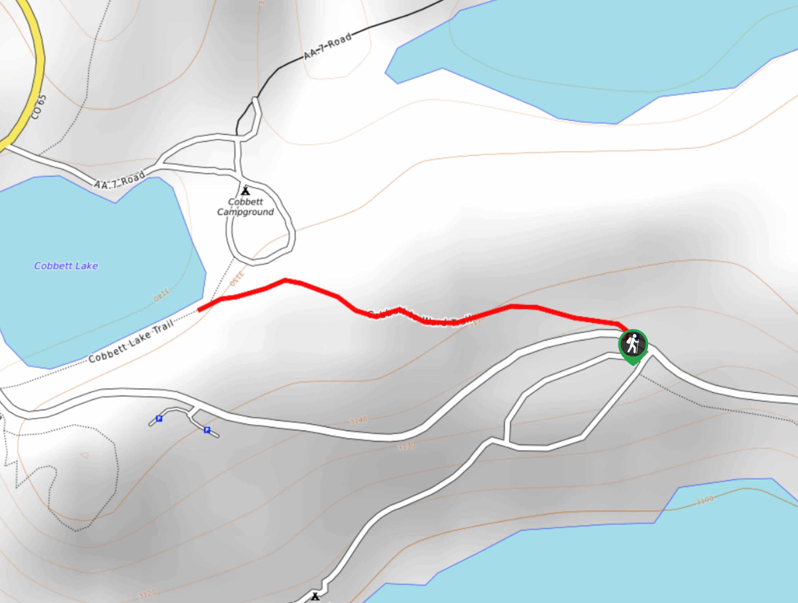
Cobbett to Ward Trail
The Cobbett to Ward Trail is a short but scenic adventure in Grand Mesa, Colorado that will lead you through…
Comments