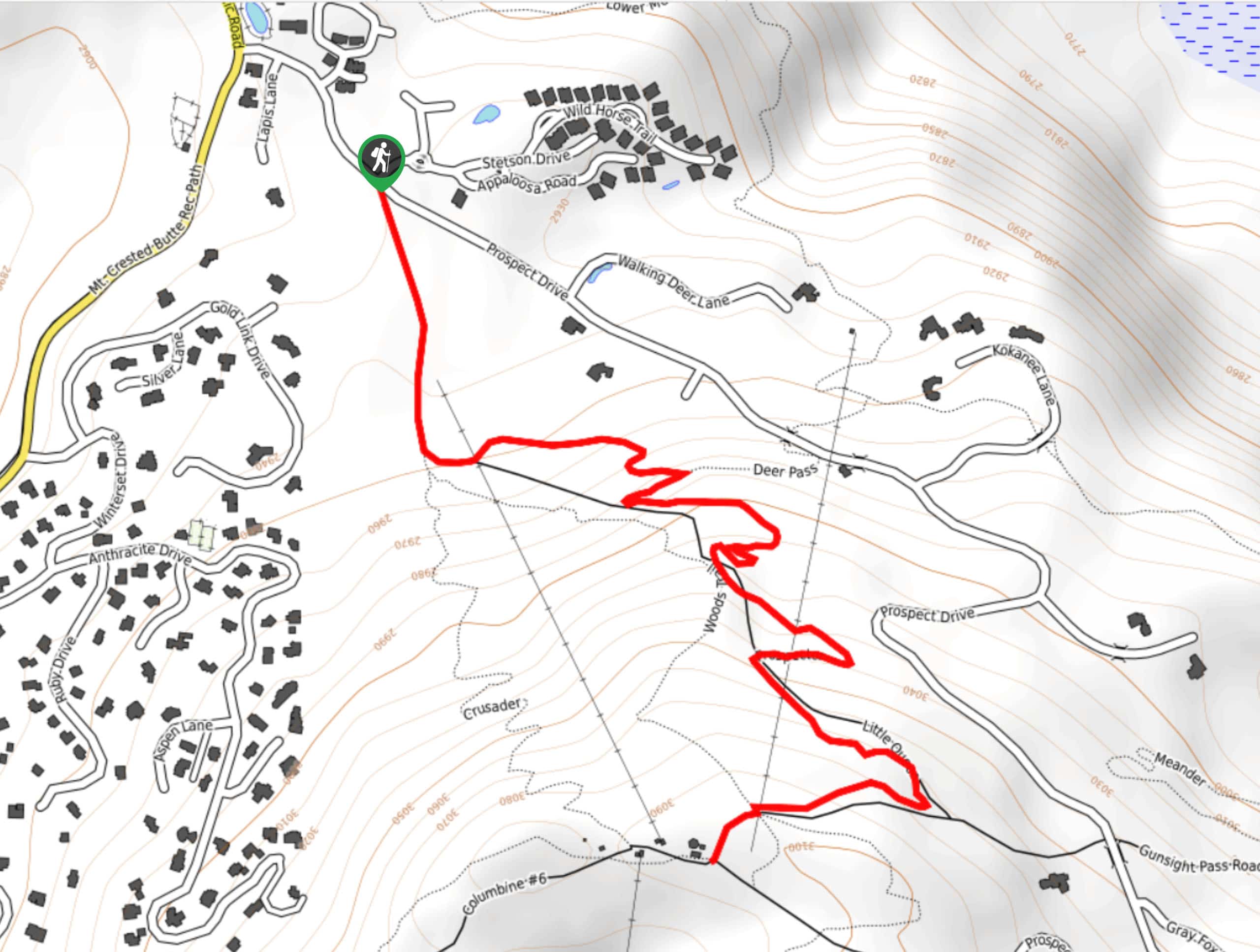
Huntsman Ridge Trail
View Photos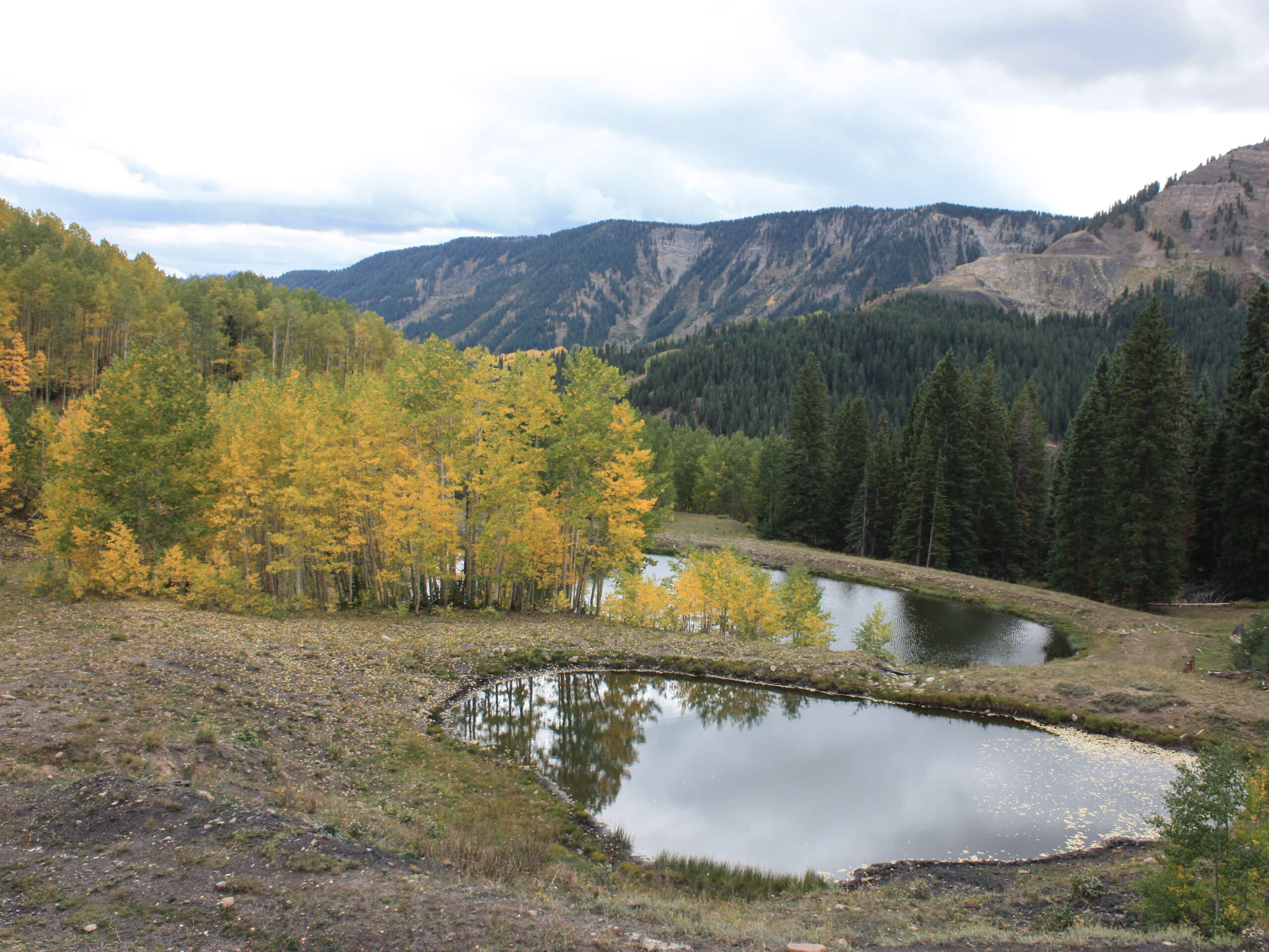
Huntsman Ridge Trail
Difficulty Rating:
The Huntsman Ridge Trail is a great hiking route near Marble, Colorado that will take you uphill above McClure Pass for some great views of the surrounding mountains. While out on the trail, you will climb up the steep trail through dense aspen groves, traversing the ridgeline before arriving at a scenic meadow with beautiful views of the surrounding landscape. This hike is entirely uphill; however, the grade of the slope evens out further along the trail and there are some great places to pause for a rest on the way up.
Getting there
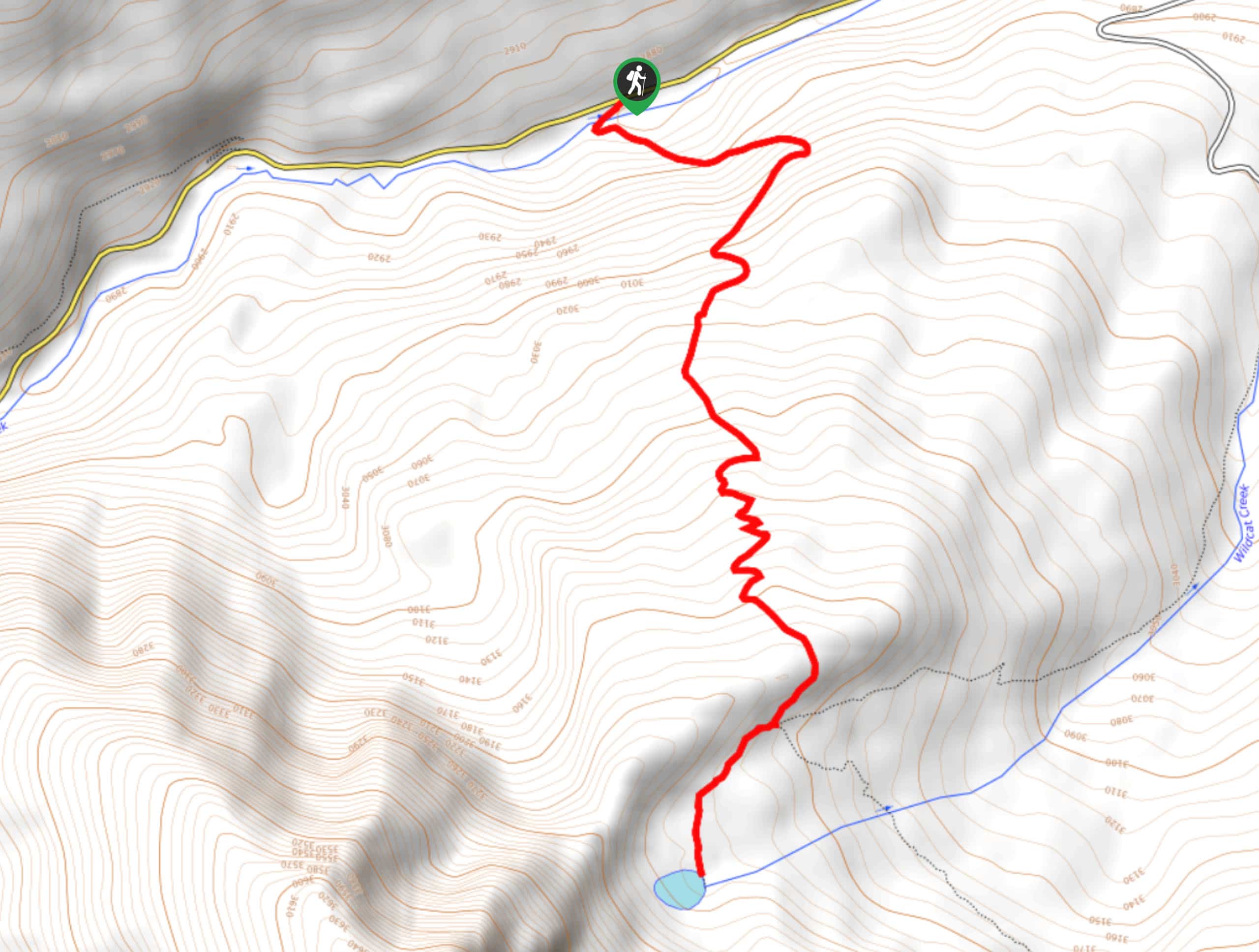
The starting point for the Huntsman Ridge Trail can be found in McClure Pass at a parking area signed as Huntsman Ridge 517 Road.

About
| Backcountry Campground | No |
| When to do | March-September |
| Pets allowed | Yes - On Leash |
| Family friendly | Older Children only |
| Route Signage | Average |
| Crowd Levels | Moderate |
| Route Type | Out and back |
Huntsman Ridge Trail
Elevation Graph
Weather
Huntsman Ridge Trail Description
Featuring some steep sections of terrain and a constant uphill climb throughout the route, the Huntsman Ridge Trail is a rugged hike that will certainly give you a bit of a leg burn. Be sure to wear proper hiking boots and bring plenty of water/snacks for this adventure. Additionally, parking at the trailhead can be a bit limited, so make sure to arrive early to secure a space.
Even with the constant uphill grind, this is a fantastic hiking route that will produce some stunning views across the Colorado landscape. Along the trail, you will find plenty of locations to stand off to the side for a quick rest and to enjoy the views, while the stunning meadows provide the perfect place to gaze out at the surrounding mountain. It may be tough at times, but the Huntsman Ridge Trail is great if you are a casual or beginner hiker looking to push yourself.
Setting out from the trailhead, you will begin by heading to the north along the trail and following it through the tree cover as it starts to climb sharply uphill. The entirety of this hike is one gradual climb up the ridge, so make sure that you pause for breaks at any convenient stopping points for a quick rest and to take in the views.
While the initial portion of this route is the steepest, it will soon level out into a more gradual climb, so do not worry if you feel overwhelmed from the start. As you continue climbing uphill through the tree cover, you will gain elevation above McClure Pass and enjoy increasingly beautiful views of the surrounding landscape.
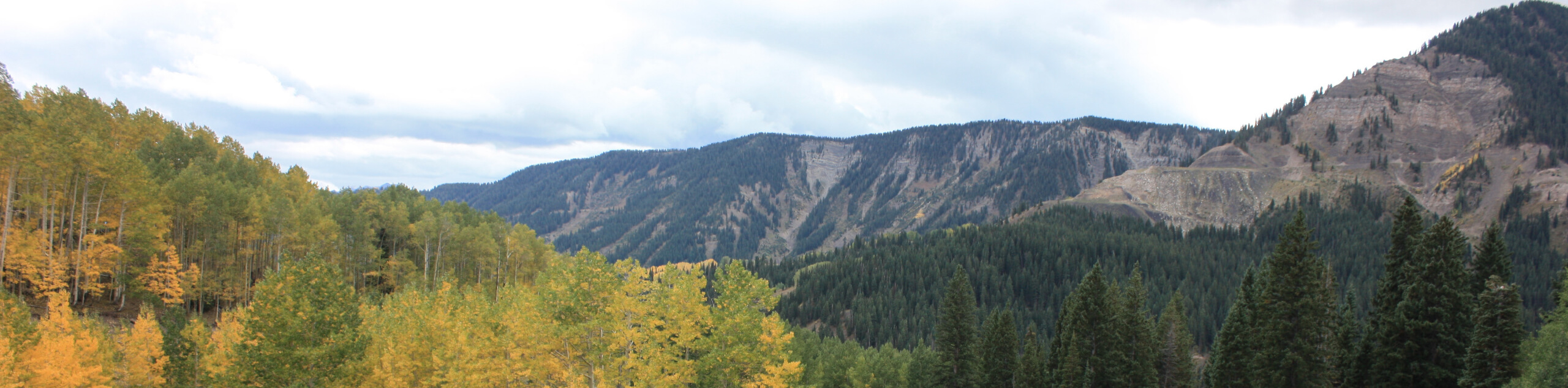
Eventually, you will break completely free of the tree cover and enter into a serene alpine meadow, where you will enjoy sweeping views of the surrounding landscape. Here, you will have a sightline to the dramatic peaks of the Maroon Bells-Snowmass and Raggeds wilderness areas, as well as Chair Mountain looming over McClure Pass.
After taking in the beauty of the trail, you will head back down the ridge along the same route to relive the scenery and arrive back at the starting point for the Huntsman Ridge Trail where you parked your vehicle.
Insider Hints
The route continues past the meadow if you are looking to increase the overall distance of your hike.
Proper hiking boots are required for this trail, as the route is entirely uphill.
Arrive early to secure parking at the trailhead.
Similar hikes to the Huntsman Ridge Trail hike
Prospector Trail
The Prospector Trail is a fun hiking adventure near Crested Butte, Colorado that will take you uphill for beautiful views…
Lily Lake Trail #639
The Lily Lake Trail #639 is an easy-going hiking route in the Elk Mountains of Colorado that will lead you…
Green Lake via Carbon Trail
The Green Lake via Carbon Trail is an amazing experience in Crested Butte, Colorado that will take you to a…
Comments