Mount Carbon Hike
View Photos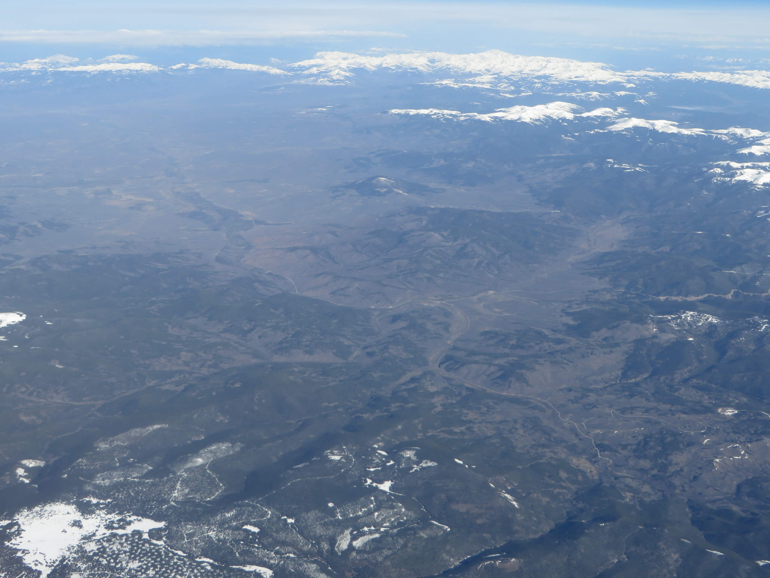
Mount Carbon Hike
Difficulty Rating:
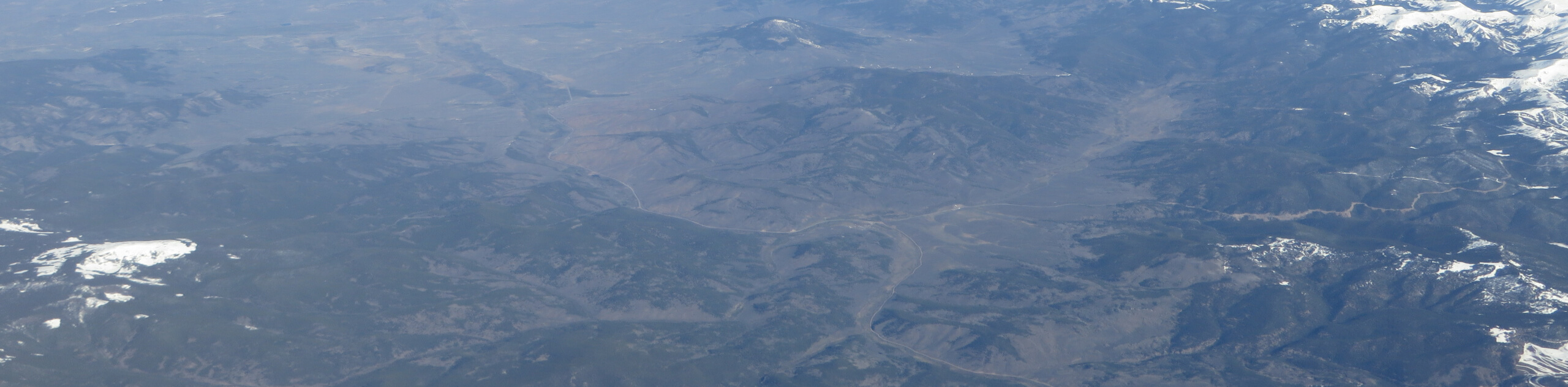
The Mount Carbon Hike is a stunning nature hike located near Denver’s city center. Escape the stressors of the real world and venture this trail along lakeshores, through golden aspens and luxuriant meadows, and up to the summit of Mount Carbon. Whether you are a biker or hiker, you will be impressed by this scenic nature trail.
Getting there
The Mount Carbon Trail departs from the Mount Carbon Trailhead off Morrison Road in the Bear Creek Lake Park.

About
| Backcountry Campground | No |
| When to do | Year-round |
| Pets allowed | Yes - On Leash |
| Family friendly | Yes |
| Route Signage | Average |
| Crowd Levels | Moderate |
| Route Type | Circuit |
Mount Carbon Hike
Elevation Graph
Weather
Mount Carbon Hike Description
The Mount Carbon Trail is an epic excursion just outside the city’s limits that reveals sights of the Denver cityscape, the Dakota Hogback Ridge, and the Front Range mountains. This path travels through some steep and rocky narrow trails, so be mindful of bikers passing by. Furthermore, the terrain is almost completely exposed, so pack plenty of water and wear sunscreen on sunny days! As you travel through the arid terrain, we also recommend keeping an eye and ear out for rattlesnakes. Note that the Mount Carbon Hike is located within the Bear Creek Lake Park, so visitors are required to purchase a $10USD day pass.
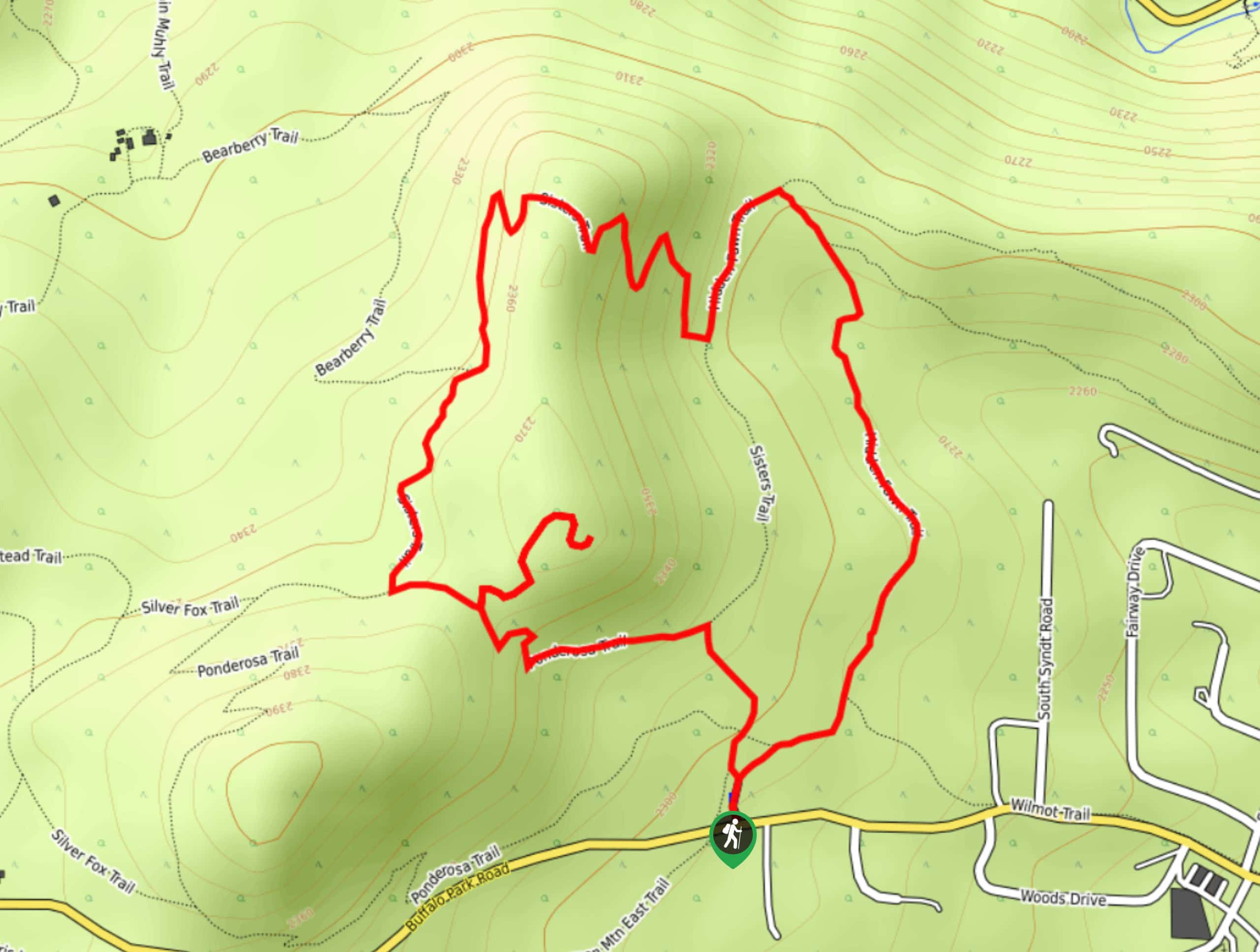
Departing from the Mount Carbon Trailhead, track the rightmost Mount Carbon Loop Trail. Hike through the meadowlands to the lakeshore. There are several merging and intersecting routes along this adventure, ignore these, and follow the Mount Carbon Loop Trail for the entirety of your hike. After passing Bear Creek Lake, the path will guide you up a set of steep switchbacks to the summit of Mount Carbon. Enjoy the views from here and continue along the trail.
Soon you will pass by the golf course before the route curves you southwest. Continue along this trail, once again nearing the lake’s shore and through an aspen grove. Follow along the curves of Bear Creek and the path will eventually deliver you back to the trailhead, marking the end of your excursion.
Similar hikes to the Mount Carbon Hike hike

Singletree and Mayhoffer Trail
The Singletree and Mayhoffer Trail is a scenic adventure that will guide adventurers through the lush meadowlands that reveal sights…
Hidden Fawn Loop Trail
The Hidden Fawn Loop Trail is a lovely meadowland adventure in the Alderfer/Three Sisters Open Space Park. Enjoy sights of…

Mount Galbraith via Cedar Gulch Trail
The Mount Galbraith via Cedar Gulch Trail is a charming adventure near Golden, Colorado that reveals the beauty and diversity…
Comments