
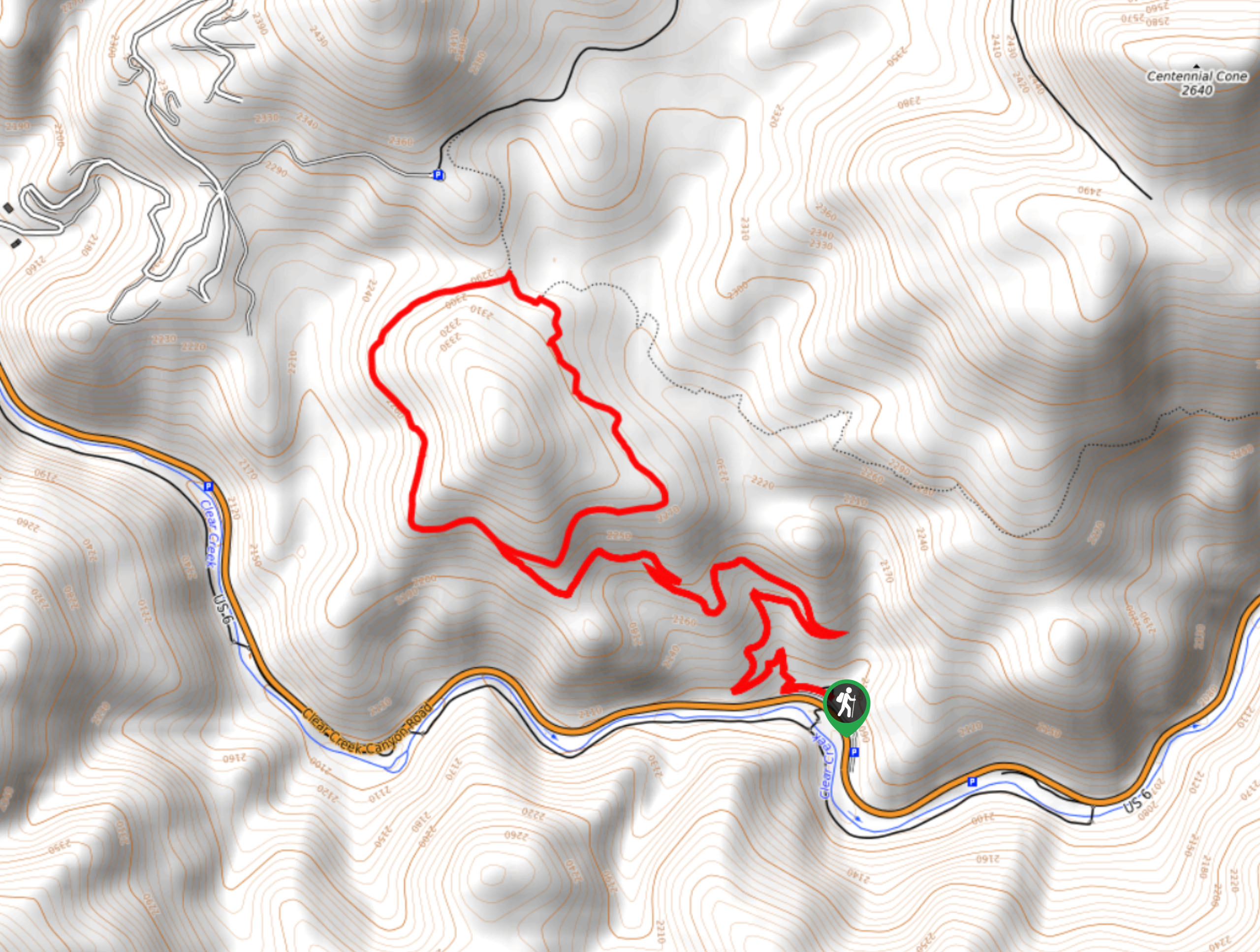
Mayhem Gulch Hike
View Photos
Mayhem Gulch Hike
Difficulty Rating:
The Mayhem Gulch Hike is a crowd-favorite in the Golden area, and we understand why! This unassumingly scenic adventure exposes epic vistas of the Clear Creek Canyon, the Centennial Cone, and the encompassing mountainous landscape.
Getting there
The Mayhem Gulch Trail departs from the trailhead off Clear Creek Canyon Road.

About
| Backcountry Campground | No |
| When to do | March-October |
| Pets allowed | Yes - On Leash |
| Family friendly | Yes |
| Route Signage | Average |
| Crowd Levels | High |
| Route Type | Lollipop |
Mayhem Gulch Hike
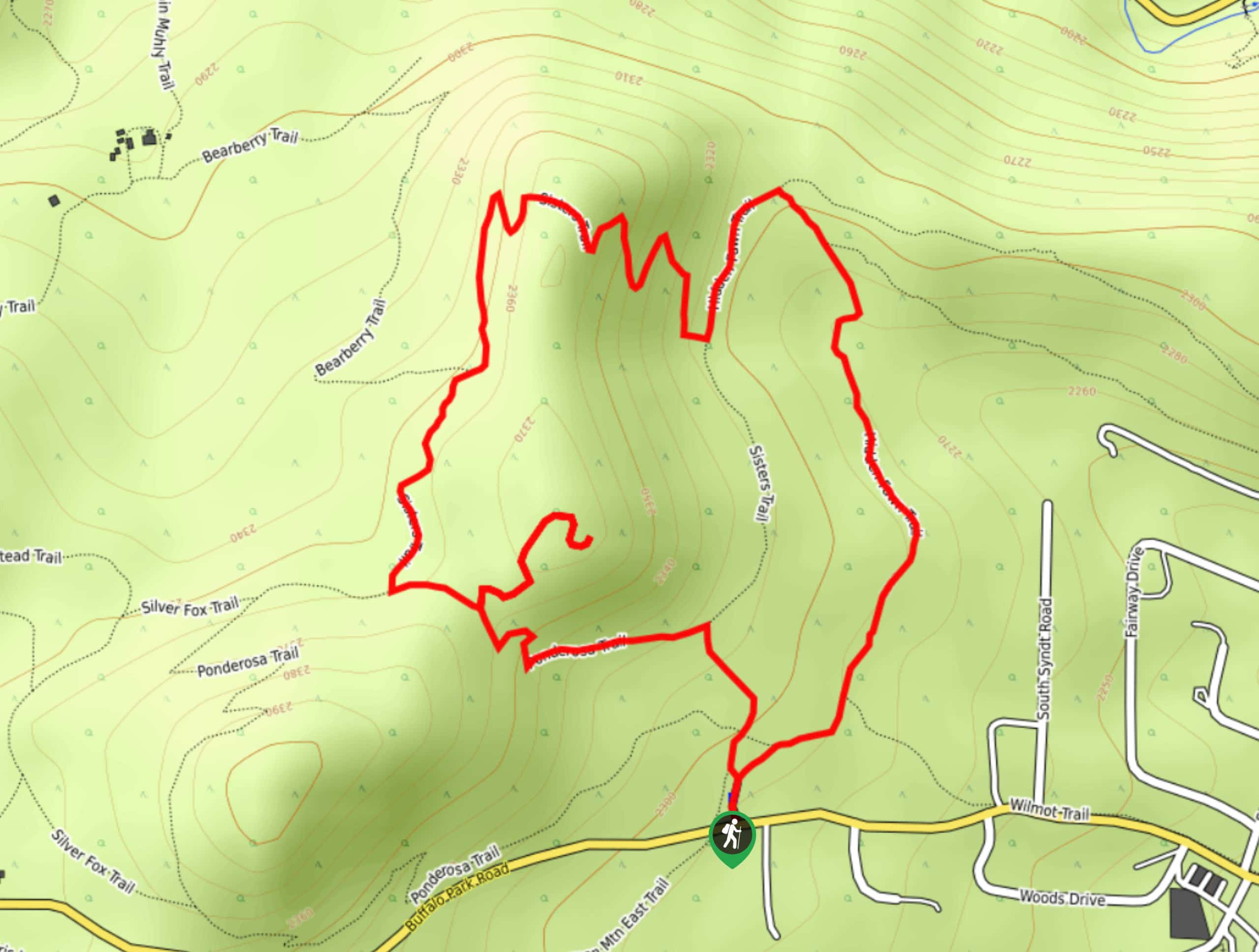
Elevation Graph
Weather
Mayhem Gulch Hike Description
The Mayhem Gulch Trail is a wonderful day hike just outside the Denver area. Adventure through the luxuriant meadows that reveal expansive views. This trail is a popular adventure among the outdoor enthusiast community, so be prepared to share the trail. This path is so popular that there is a unique usage system. You can only hike on the odd-numbered weekend days because even numbered weekend days are reserved specifically for bikers. If you hike on the wrong day, be prepared to pay a fine. Note that this path travels through arid terrain, so be mindful of rattlesnakes as you trek.
Embark on your adventure along the Mayhem Gulch Trail from the trailhead. From here, the Mayhem Gulch Trail immediately ascends steep terrain, but don’t let it discourage you, the path will become increasingly level and incredibly scenic. Navigate the switchbacks up to the intersection. From here, keep left and you will be diverted onto the Juniper Trail. From the west side of the path you will be granted epic views of the canyon below and Front Range foothills. Hike along the grassy plains, and at the next junction, keep right, merging onto the Mayhem Gulch Trail.
Follow the Mayhem Gulch Trail which reveals views of Golden and the Centennial Cone. Continue along this route which will eventually deliver you back to the first intersection. Here, veer left and retrace your steps down the switchbacks to the trailhead.
Similar hikes to the Mayhem Gulch Hike hike

Singletree and Mayhoffer Trail
The Singletree and Mayhoffer Trail is a scenic adventure that will guide adventurers through the lush meadowlands that reveal sights…
Hidden Fawn Loop Trail
The Hidden Fawn Loop Trail is a lovely meadowland adventure in the Alderfer/Three Sisters Open Space Park. Enjoy sights of…

Mount Galbraith via Cedar Gulch Trail
The Mount Galbraith via Cedar Gulch Trail is a charming adventure near Golden, Colorado that reveals the beauty and diversity…
Comments