
Devil’s Elbow Hike
View Photos
Devil’s Elbow Hike
Difficulty Rating:
The Devil’s Elbow Hike is a great trail located within Mount Falcon Park. Combined, this network of routes creates an epic adventure through the woodlands. Enjoy sights of the Colorado mountainous wilderness from one of many overlooks and hike off the beaten path. Immerse yourself in nature and reconnect along the Devil’s Elbow Trail.
Getting there
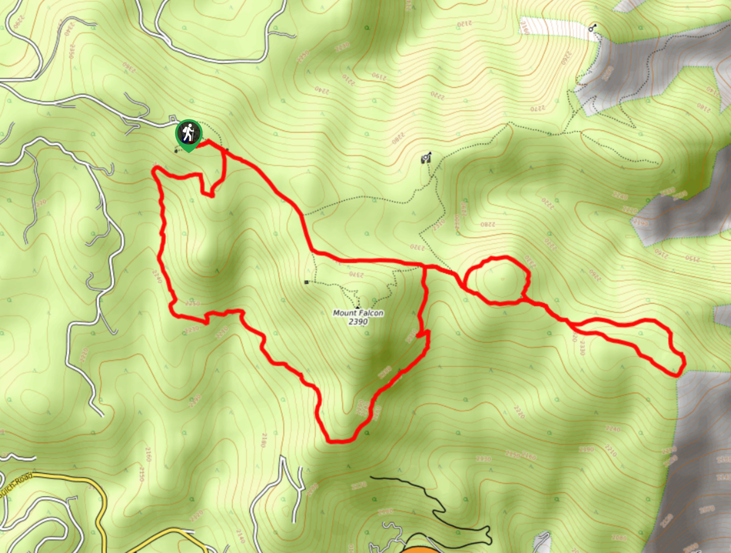
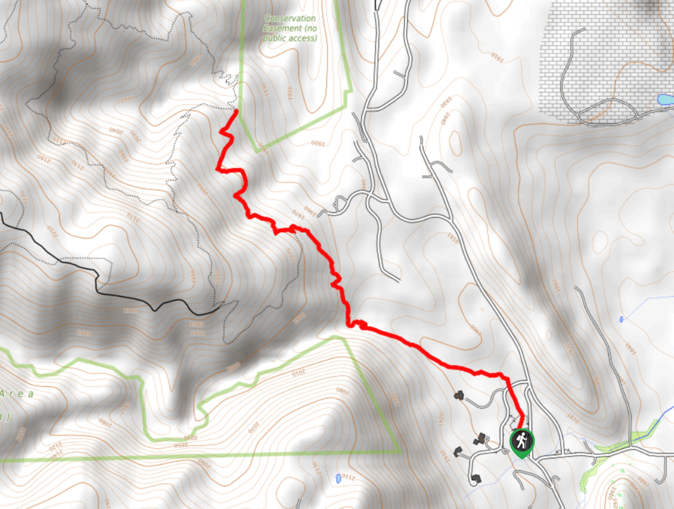
The Devil’s Elbow Hike departs from the western trailhead off Mount Falcon Road.

About
| Backcountry Campground | No |
| When to do | Year-round |
| Pets allowed | Yes - On Leash |
| Family friendly | Older Children only |
| Route Signage | Average |
| Crowd Levels | High |
| Route Type | Lollipop |
Devil’s Elbow Hike
Elevation Graph
Weather
Devil’s Elbow Hike Description
The Devil’s Elbow Hike is an exciting adventure through diverse terrains. Hike beneath the coverage of towering pines, through aspen groves, along exposed ridges, and through luxuriant meadows. Though the terrain of this path is manageable, it does demand stamina. The undulating path will unassumingly tire you, so pack plenty of water. Additionally, there is plenty of wildlife in this area, so keep an eye out and maintain a safe distance if you do run into an elk or deer.
Departing from the trailhead, the Devil’s Elbow Hike follows the Parmalee Trail. This path will weave adventurers through dense tree coverage and open plains as you track around the base of Mount Falcon. As you trek along this route enjoy sights of the Front Range foothills and the town of Evergreen peeking through the tree breaks. Eventually, you will ascend a forested gulch and be confronted with an intersection. Keep right here and you will be diverted briefly onto the Meadow Trail before merging onto the rightmost Olde Ute Trai. Take this path southeast and you will soon confront the Devil’s Elbow Trail.
Hike around the Devil’s Elbow loop, reveling in stunning vistas of the cityscape. After you complete the circuit trail, hook back onto the rightmost Olde Ute Trail. Trek along the path, merging back onto the Meadow Trail after you loop around. Here, follow the Meadow Trail through the meadowlands, keeping an eye out for deer and elk! At the next junction merge onto the Castle Trail and hike northwest along the route all the way back to the trailhead.
Similar hikes to the Devil’s Elbow Hike hike

Singletree and Mayhoffer Trail
The Singletree and Mayhoffer Trail is a scenic adventure that will guide adventurers through the lush meadowlands that reveal sights…

Mount Galbraith via Cedar Gulch Trail
The Mount Galbraith via Cedar Gulch Trail is a charming adventure near Golden, Colorado that reveals the beauty and diversity…
Belcher Hill and Whippletree Trail
The Belcher Hill and Whippletree Trail is an exciting adventure—how could it not be with a name like that? The…
Comments