
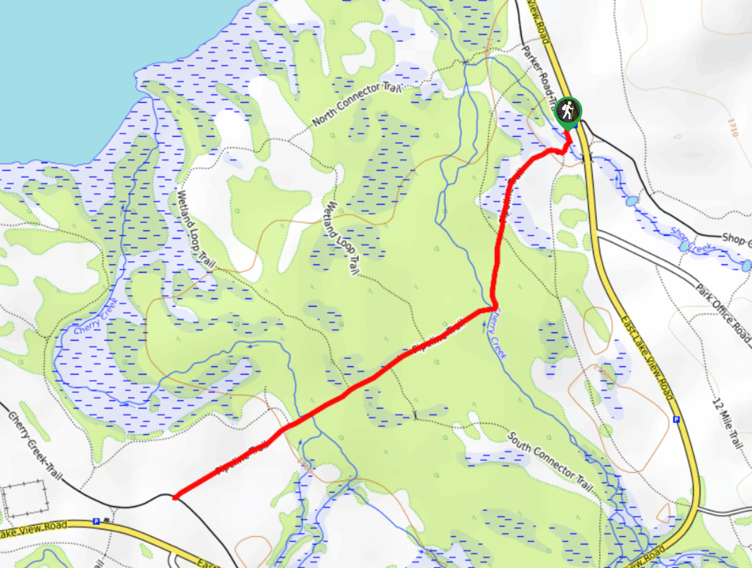
Cherry Creek Pipeline Trail
View Photos
Cherry Creek Pipeline Trail
Difficulty Rating:
The Cherry Creek Pipeline Trail presents the perfect opportunity to escape the hustle and bustle of the city and reconnect with nature. You will be lulled into a state of relaxation as you hike along the gurgling waters of Cherry Creek and through lush woodlands. Enjoy this peaceful oasis among the busyness of the state’s capital.
Getting there
The Cherry Creek Pipeline Trail departs from the Shop Creek Trailhead off E Lake View Road in the Cherry Creek State Park.

About
| Backcountry Campground | No |
| When to do | Year-round |
| Pets allowed | Yes - On Leash |
| Family friendly | Yes |
| Route Signage | Average |
| Crowd Levels | Moderate |
| Route Type | Out and back |
Cherry Creek Pipeline Trail
Elevation Graph
Weather
Cherry Creek Pipeline Trail Description
The Cherry Creek Pipeline Trail is a hidden gem nestled in the city’s center. Located within the Cherry Creek State Park, the hike can be customized to your needs and abilities. If you are seeking a longer journey, simply connect to one of the many merging paths, or cut the adventure short by turning around—the possibilities are endless. It is worth noting that Cherry Creek State Park charges an entrance fee, which is typically around $9USD.
Embark on your journey along the Cherry Creek Pipeline Trail from the Shop Creek Trailhead. From here, track the Pipeline Trail southwest, over Shop Creek, and through the wetlands. Follow this path over a branch of Cherry Creek and beneath the shade of the lush woodlands. There are several connecting and merging paths along this trail, ignore them and maintain along the Pipeline Trail unless you want to explore further! Follow the path through the sparse tree coverage and you will eventually cross over another segment of the creek.
Cross over the babbling waters and the route will guide you into a meadow. From here, enjoy the sights of the Denver cityscape and you will shortly meet the trail’s end. At this point, you can take a connecting trail or simply backtrack along the path, eventually returning you to the trailhead.
Similar hikes to the Cherry Creek Pipeline Trail hike
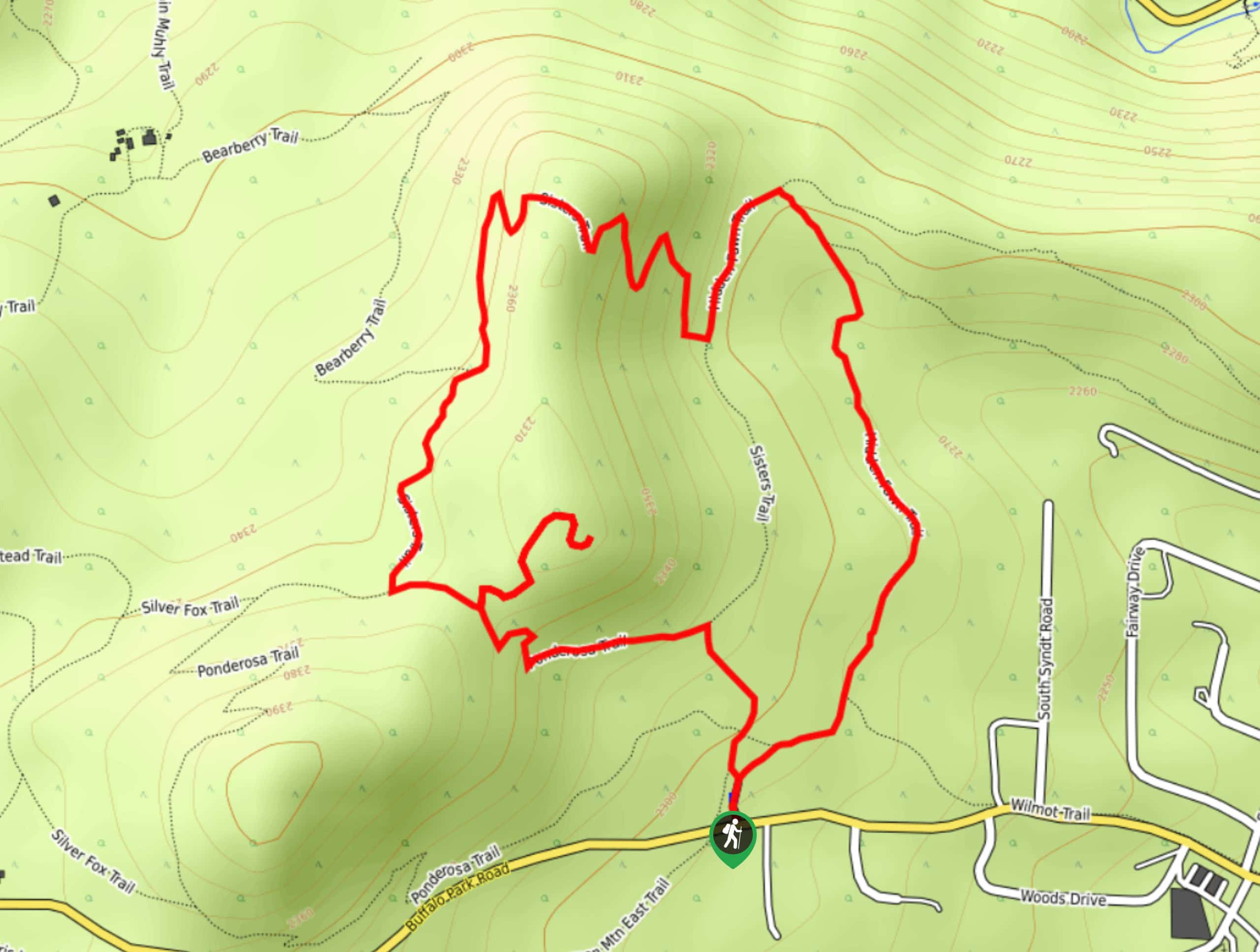
Hidden Fawn Loop Trail
The Hidden Fawn Loop Trail is a lovely meadowland adventure in the Alderfer/Three Sisters Open Space Park. Enjoy sights of…
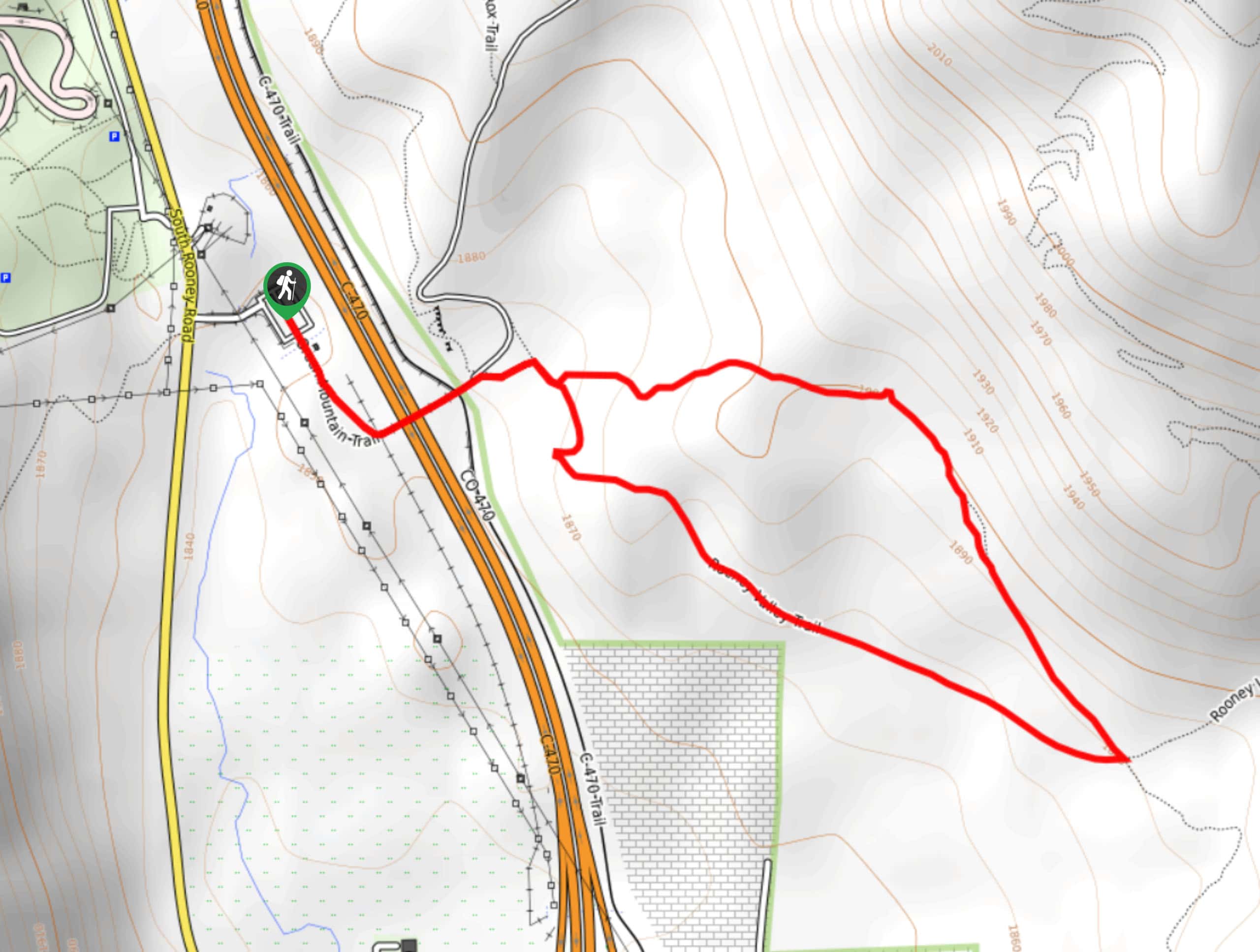
Green Mountain Loop Hike
The Green Mountain Loop Hike is a charming nature walk along the base of Green Mountain. Hike through the grassy…
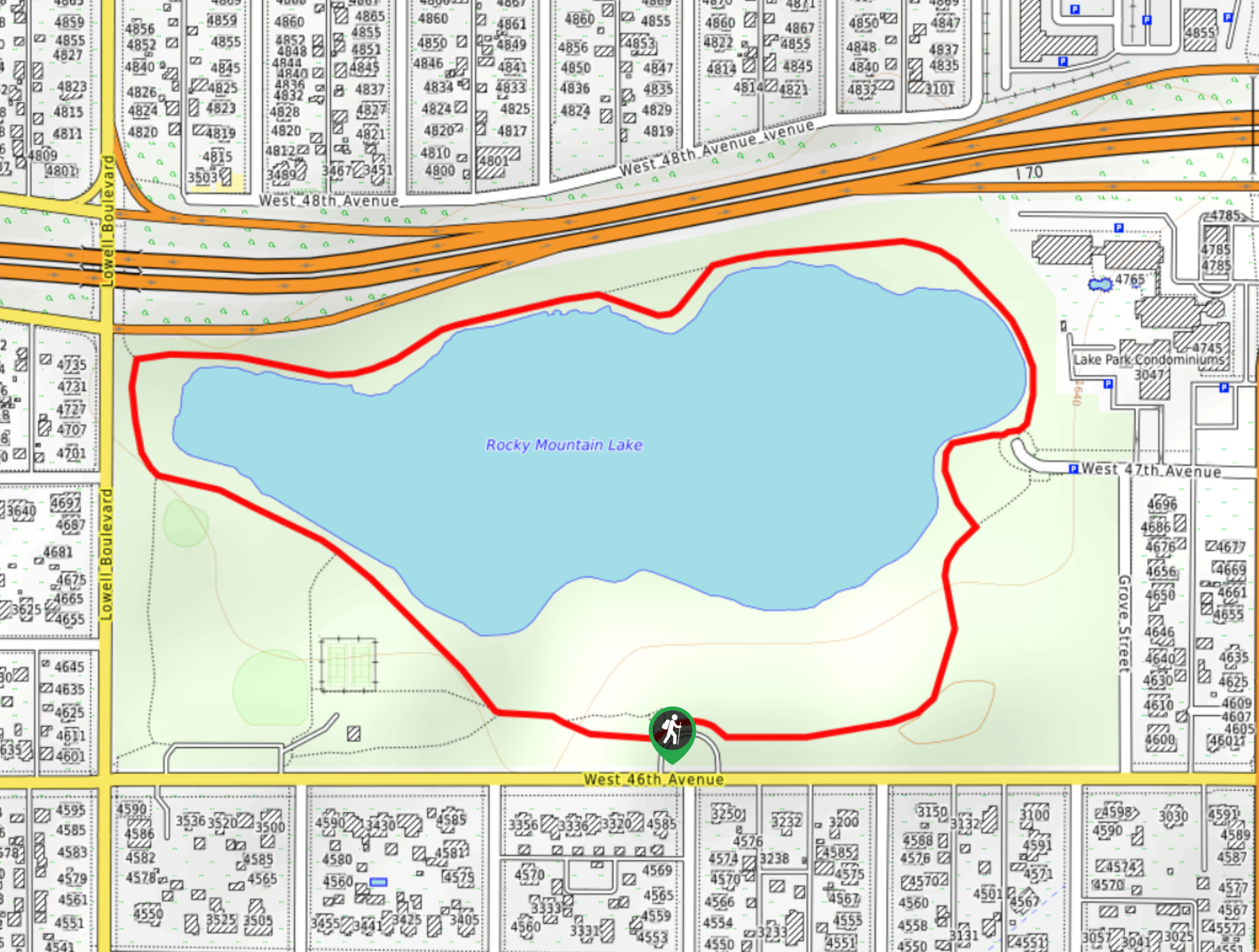
Rocky Mountain Lake Park Loop
The Rocky Mountain Lake Park Loop will transport you from the city’s center to a lakeside oasis. Hike around the…
Comments