Tavy Cleave and Hare Tor Circular Walk
View Photos
Tavy Cleave and Hare Tor Circular Walk
Difficulty Rating:
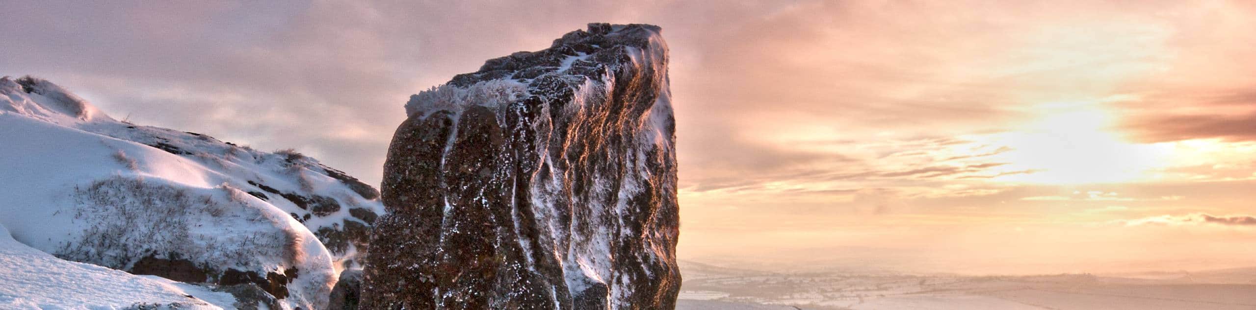
The Tavy Cleave and Hare Tor Circular Walk is a perfect route if you enjoy relaxing strolls in picturesque riverside settings. While out on the trail, you will make your way upstream along the winding banks of the River Tavy before climbing uphill to traverse several tors with charming views of Dartmoor national Park. There is a bit of an elevation gain on this route, but the spectacular views and peaceful settings are well worth the minimal effort.
Getting there
To reach the trailhead for the Tavy Cleave and Hare Tor Circular Walk from Mary Tavy, head southeast on Bal Lane for 0.3mi and turn left to continue on for another 2.3mi. Make a slight left here and follow the road for 0.1mi, before continuing straight for another 0.6mi to arrive at the car park.

About
| When to do | March-November |
| Backcountry Campsites | No |
| Pets allowed | Yes - On Leash |
| Family friendly | Yes |
| Route Signage | Average |
| Crowd Levels | Moderate |
| Route Type | Circuit |
Tavy Cleave and Hare Tor Circular Walk
Elevation Graph
Weather
Tavy Cleave and Hare Tor Circular Walk Description
Although the Tavy Cleave and Hare Tor Circular Walk isn’t a high foot traffic route, the car park next to the trailhead is fairly small and might require you to arrive early to secure a space. Additionally, there are a few sections of the trail that are a bit narrow, so be sure to keep an eye on children when travelling through these areas. Make sure to bring your wellies, as the pathways along the river can be quite muddy after a good rainfall.
Setting out from the car park, you will make your way east along the lane to pass by Nattor Farm and pick up the footpath. From there, you will continue on to the east and pass through some open farmland, eventually turning to the northeast to follow alongside the winding banks of the River Tavy below several tors. Reaching the point where Rattle Brook breaks away from the river to the north, head left and follow it for a short distance before turning back to the west to climb uphill. Here, you will traverse the summit of Hare Tor and turn to the southwest on the final leg of the walk that will see you make your way across Ger Tor and the open farmland on the return to the car park.
Similar hikes to the Tavy Cleave and Hare Tor Circular Walk hike

Shipley Bridge and Avon Dam Reservoir Walk
Located in the southern part of Dartmoor National Park, the Shipley Bridge and Avon Dam Reservoir Walk is a lovely…

The Sherlock Holmes Track
The Sherlock Holmes Track is a fun adventure in the southeast corner of Dartmoor National Park that will take you…

Ryder’s Hill via Sandy Way Trail
The Ryder’s Hill via Sandy Way Trail is a beautiful walking route in Dartmoor National Park that will lead you…
Comments