
Mount Garfield Hike
View PhotosMount Garfield Hike
Difficulty Rating:
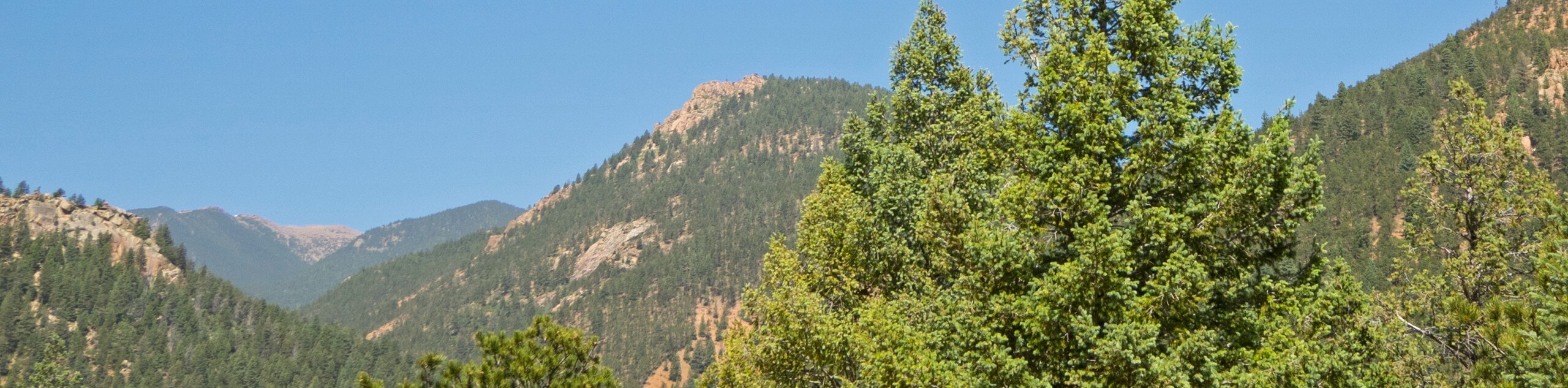
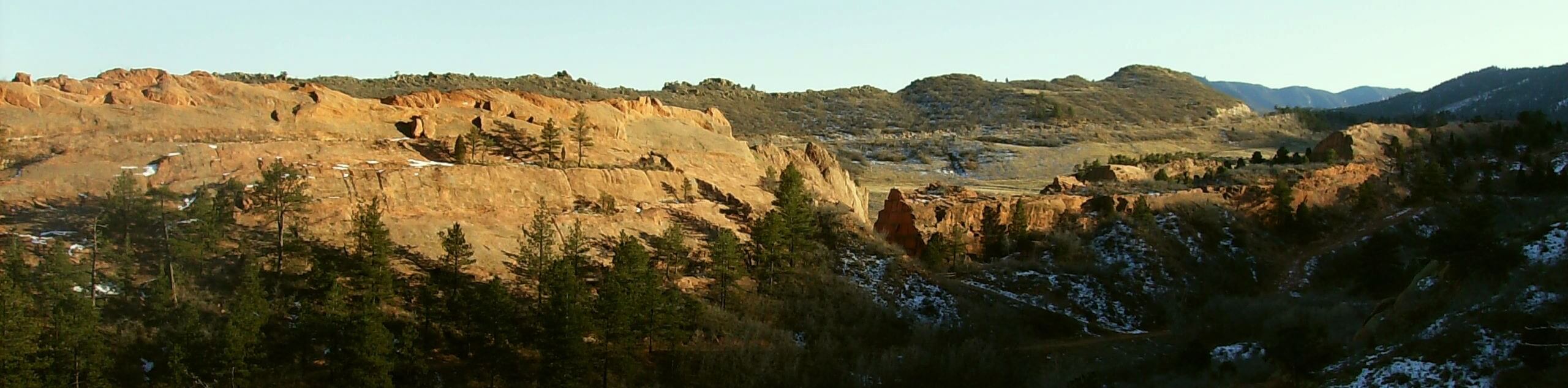
Seeking a challenge? The Mount Garfield Hike is an epic climb near Colorado Springs that will put your endurance, and navigational skills to the test. Traveling through diverse picturesque landscapes, the stunning panoramas will motivate even the most discouraged hikers.
Getting there
The Mount Garfield Hike departs from the Seven Bridges Trailhead off the Gold Camp Road.

About
| Backcountry Campground | No |
| When to do | March-October |
| Pets allowed | Yes - On Leash |
| Family friendly | No |
| Route Signage | Poor |
| Crowd Levels | High |
| Route Type | Out and back |
Mount Garfield Hike
Elevation Graph
Weather
Mount Garfield Hike Description
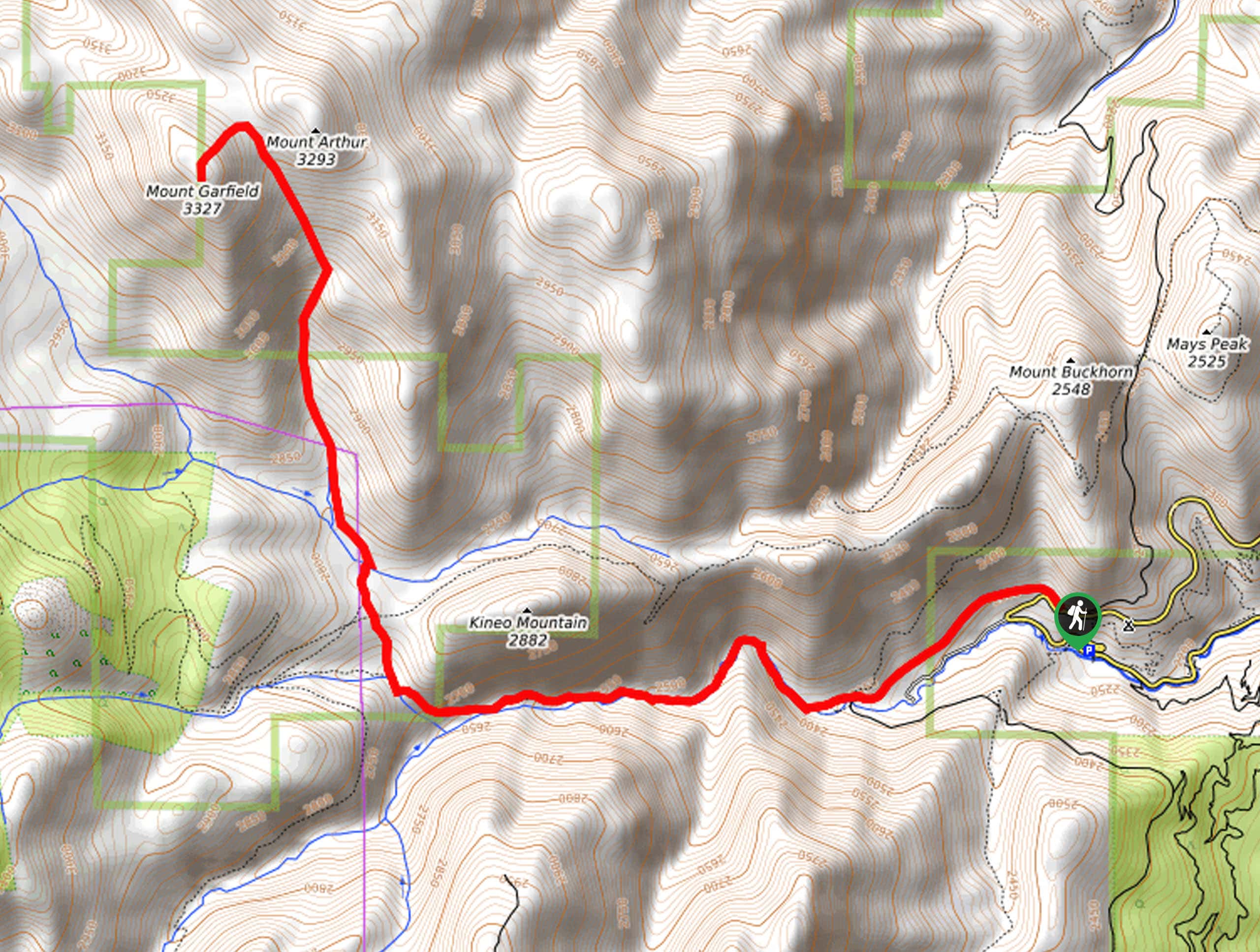
Demanding stamina and patience, the Mount Garfield Trail is a strenuous climb. Hike the scenic Seven Bridges Trail before entering the woodlands and climbing up the vertiginous terrain to an epic alpine overlook. Traveling through diverse topographies and into high elevations warrants ever-changing weather conditions, so we suggest wearing layers as insurance. Furthermore, it is important to reach the peak before noon to mitigate the chances of getting caught in an afternoon storm. Additionally, we highly recommended bringing along the trail GPS as sections of this route are primitive and unmarked. Lastly, as you venture deep into the wilderness, it is important to be mindful of wildlife.
Begin your journey along the Mount Garfield Hike from the Seven Bridges parking lot off Gold Camp Road. From here, track west along the Gold Camp Road, passing the metal gate and merging onto the Seven Bridges Trail (signposted as Forest Road 622). Travel over the seven bridges through the North Cheyenne Creek Canyon, and at the next intersection, veer right onto the Seven Bridges North Spur Trail. Soon you will confront another junction. Here, stay straight, and hike north along the Loud’s Cabin Trail. Travel this path up to the remains of the historic cabin, and from here up to the peak, the trail is unmarked and primitive, so use the trail GPS.
Continue north through the forested valley along a creek. Eventually, you will reach a clearing in the saddle between Mount Arthur and Mount Garfield. At this point, you will want to track west up to the summit of Mount Garfield. Revel in the expansive vistas of the mountainous wilderness, rest, and rehydrate. When you are ready, begin your return to the trailhead by backtracking along the route.
Similar hikes to the Mount Garfield Hike hike
Three Peaks Loop
Seeking an exciting adventure near Colorado Springs? If so, then we have the perfect hike for you—the Three Peaks Loop.…
Red Rock, Lion, and Section 16 Loop
The Red Rock, Lion, and Section 16 Loop is an exciting adventure in Colorado Springs perfect for hikers and bikers…
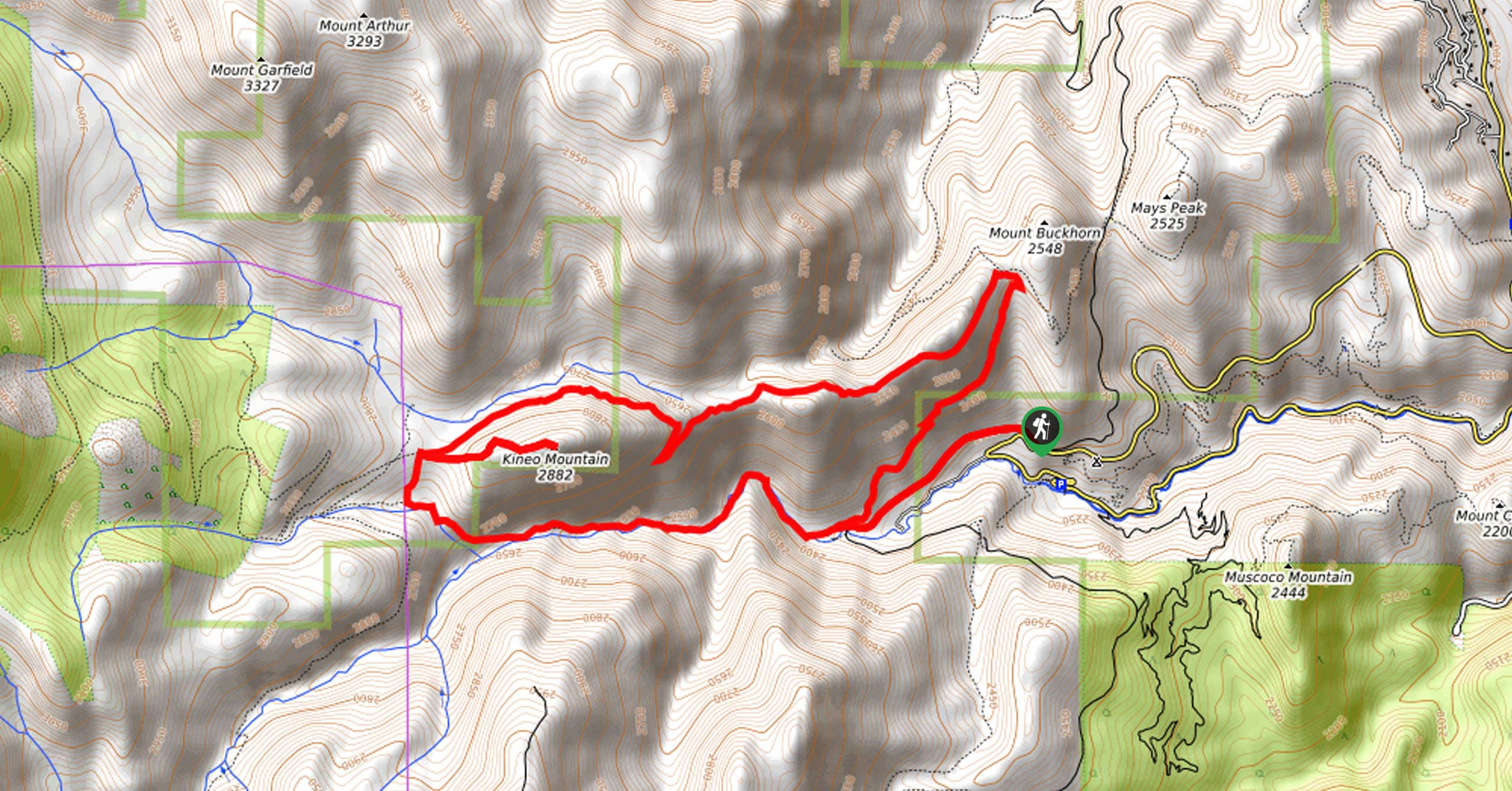
Kineo Mountain and Mount Buckhorn via Seven Bridges Trail
Immerse yourself in nature and let your anxieties melt away along the Kineo Mountain and Mount Buckhorn via Seven Bridges…
Comments