
Porcupine Hills Ridge Trail
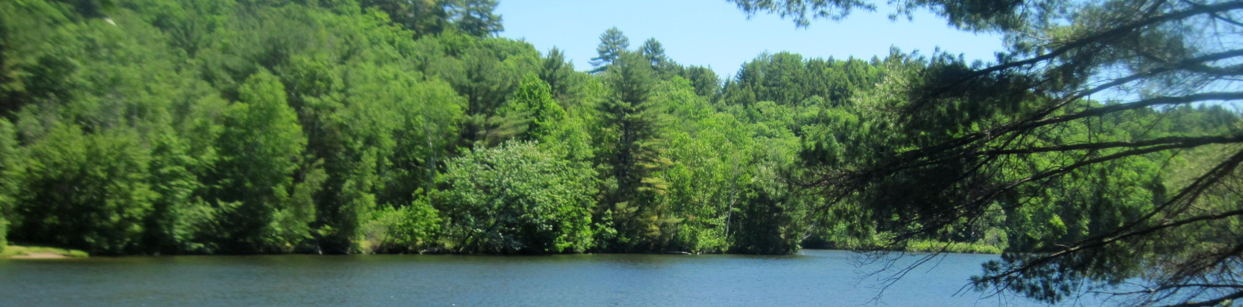
View Photos
Porcupine Hills Ridge Trail
Difficulty Rating:
Porcupine Hills Ridge Trail is a well-maintained hike off of the Cowboy Trail in southern Alberta. This beautiful ridge offers an excellent vantage point towards surrounding peaks as well as the nearby prairies. This is a great trail for families and beginner to intermediate hikers.
Getting there
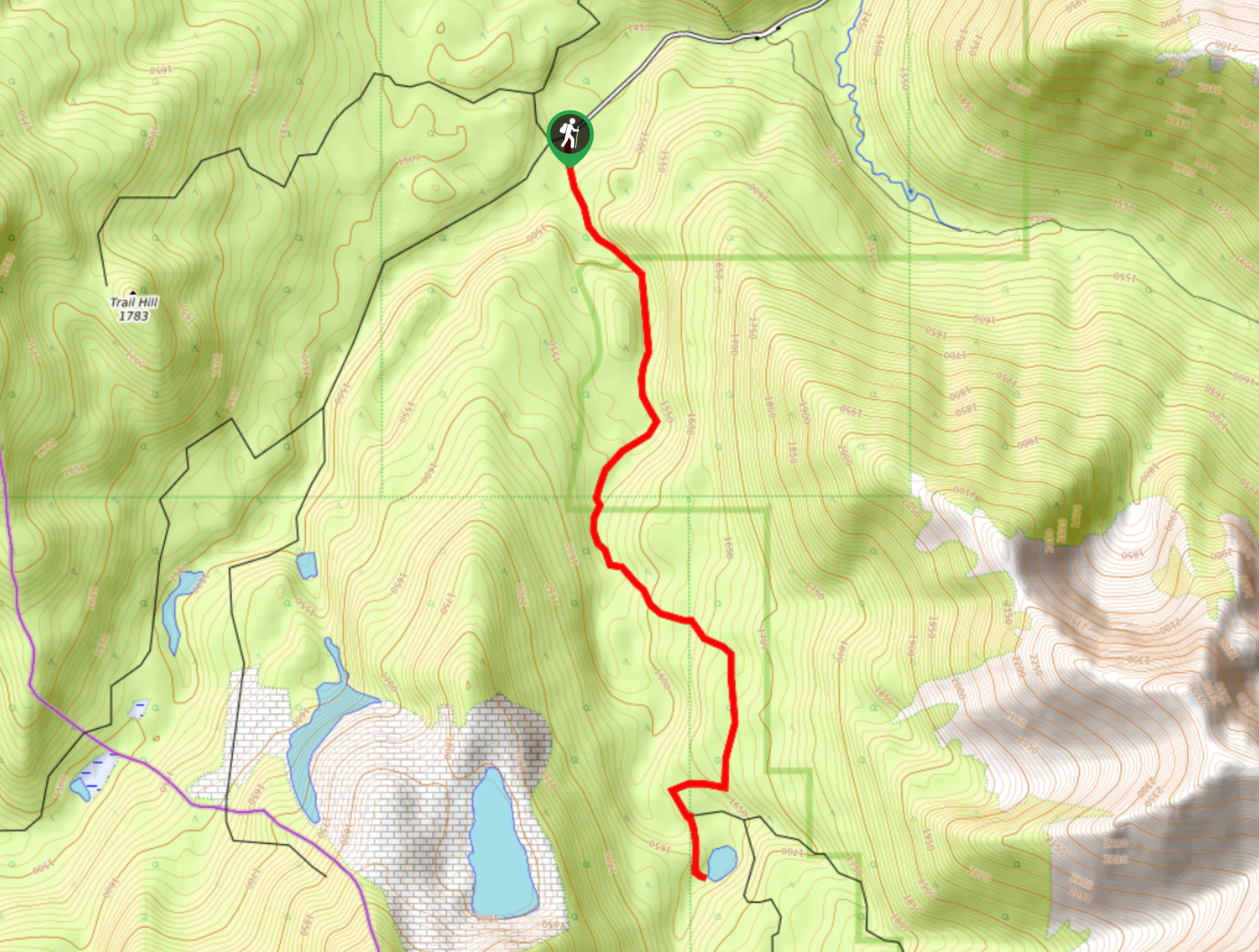
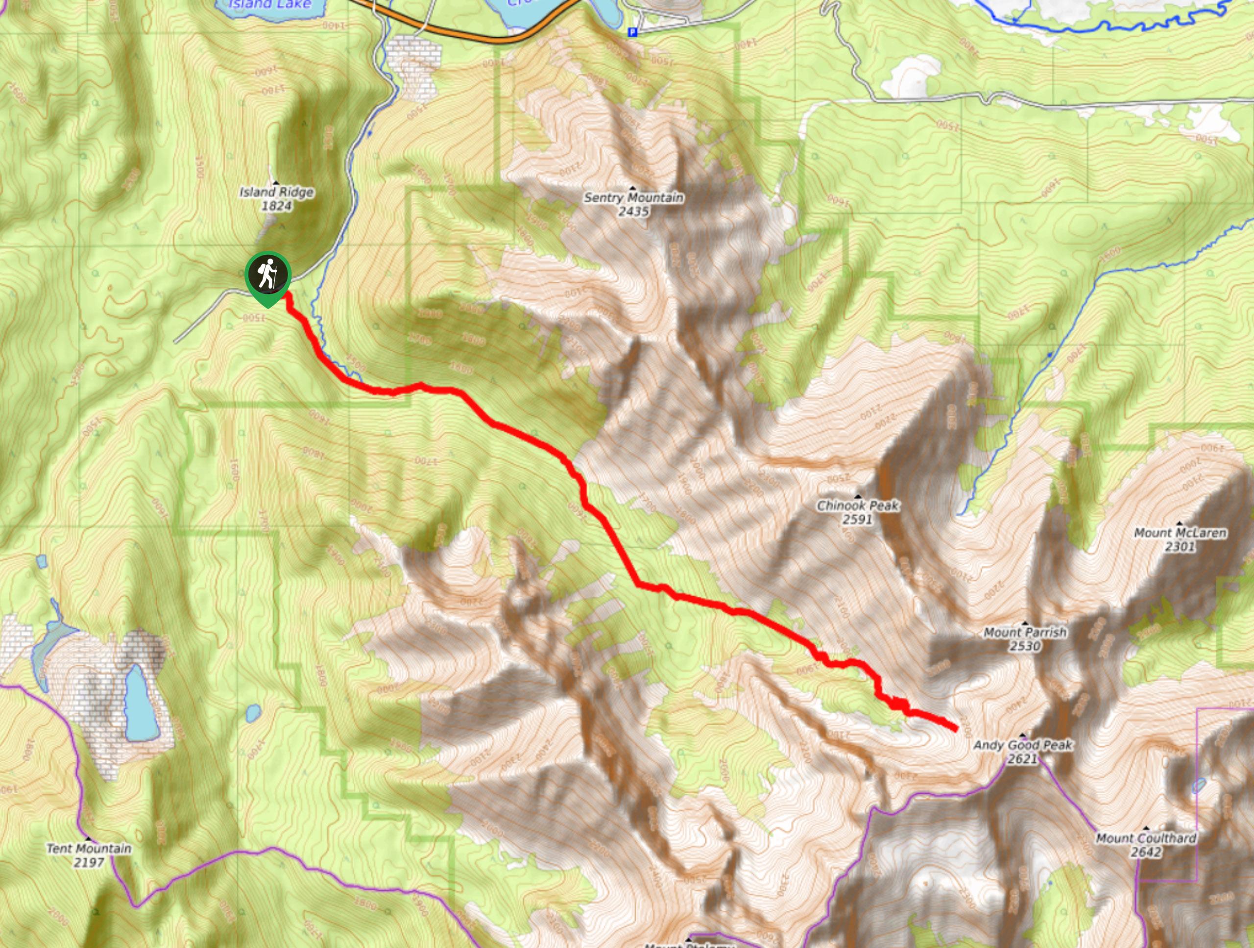
To get to Porcupine Hills trailhead, take Highway 22-N from Highway 3. Follow this for 27.3mi before turning right onto AB-520-E. Travel 2.1mi and turn left onto Range Road 13A. After 2.2mi, pull over for the Porcupine Hills Ridge Trail. This trail can also be accessed via AB-520 from Claresholm, AB.

About
| When to do | May-October |
| Backcountry Campsites | No |
| Pets allowed | Yes |
| Family friendly | Yes |
| Route Signage | Average |
| Crowd Levels | Moderate |
| Route Type | Out and back |
Porcupine Hills Ridge Trail
Elevation Graph
Weather
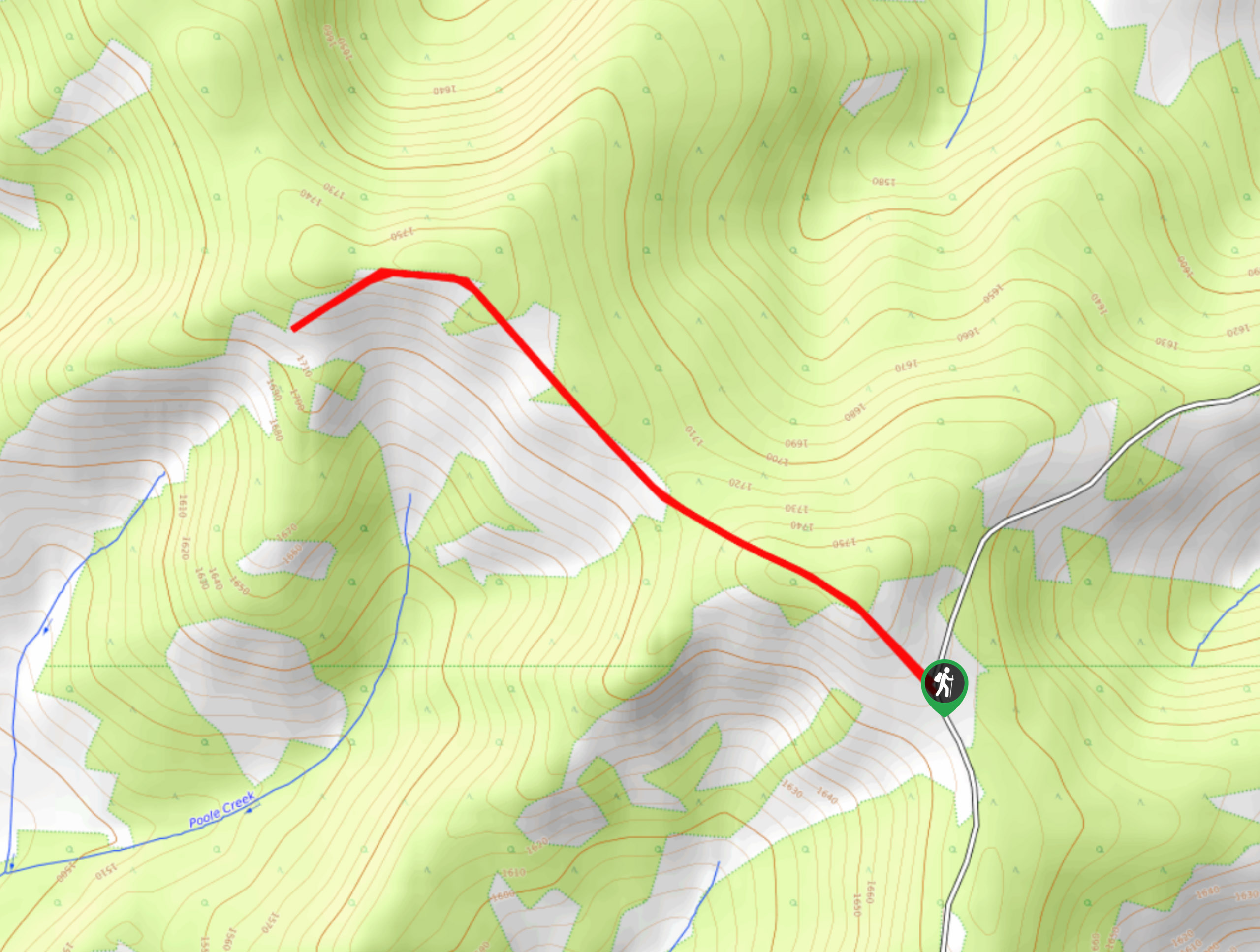
Porcupine Hills Ridge Trail Description
From the pullout on the road, find your way onto the old dirt road and come to a locked gate. This is the beginning of the Porcupine Hills Ridge hike. Follow the road and begin climbing the ridge on this easy to follow trail. Some fun landmarks rest along the trail that make for excellent photo opportunities. You won’t come across any junctions or side trails on this trail, so enjoy the easy hiking on your way to the main viewpoint atop the ridge. Look out over the meeting of the prairies and the mountains, admiring the geological transition before you.
Similar hikes to the Porcupine Hills Ridge Trail hike
Piney Point Trail
The Piney Point Loop trail is a moderately trafficked trail from the Beauvais Lake day use area. There are many…
Coal Miners Lake
Coal Miners Lake is a great half day hike close to Crowsnest, Alberta. The moderate route is excellent for families.…
Trail of Seven Bridges
The Trail of Seven Bridges is more popular with OHV users as it is a multi-use trail. You will run…
Comments