Aztec Butte
View Photos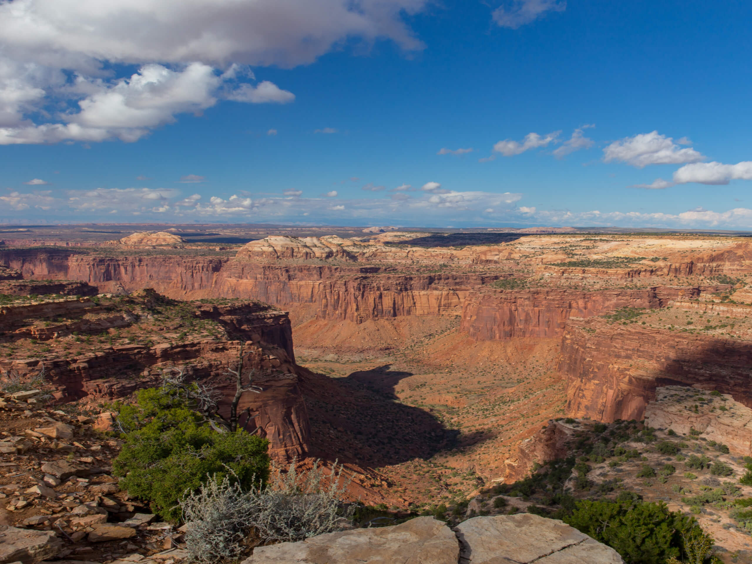
Aztec Butte
Difficulty Rating:
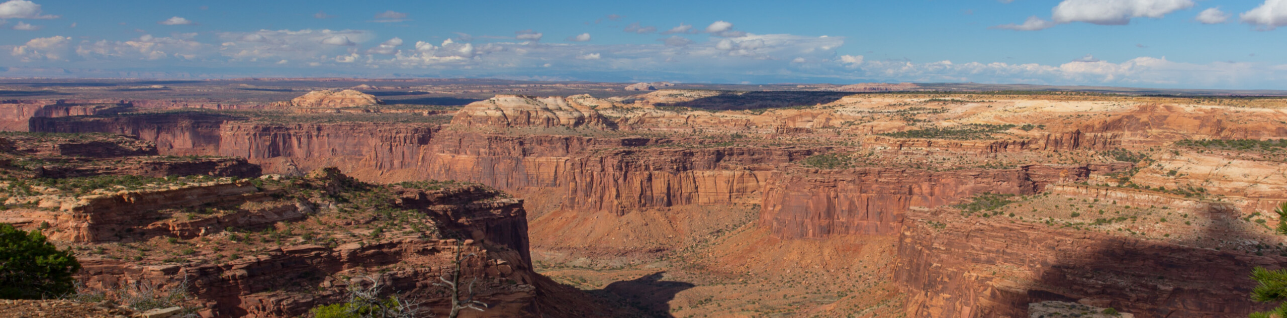
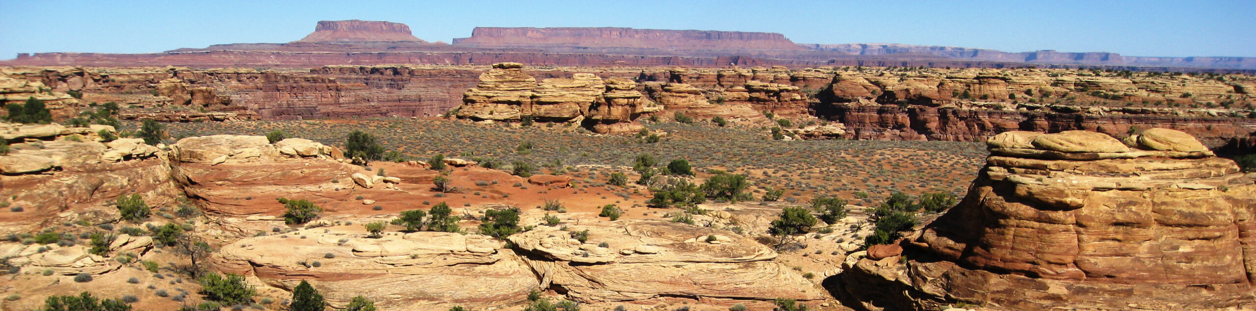
The Aztec Butte Trail is a short, scrambly hike to an incredible viewpoint overlooking Canyonlands National Park. This hike is great for older kids who love to climb and play outside. Don’t forget the camera on this hike—the views from the top of Aztec Butte are absolutely breathtaking.
Getting there
From the Island in the Sky Visitor Center, drive down Grand View Point Road for just over 6.0mi before turning right onto Upheaval Dome Road. The Aztec Butte Trailhead is 0.9mi down Upheaval Dome Road on the right hand side.

About
| Backcountry Campground | No |
| When to do | Year-round |
| Pets allowed | No |
| Family friendly | Older Children only |
| Route Signage | Average |
| Crowd Levels | High |
| Route Type | Lollipop |
Aztec Butte
Elevation Graph
Weather
Aztec Butte Description
The Aztec Butte Trail is a short scramble up to the top of Aztec Butte in the Island in the Sky district of Canyonlands National Park. Though not technical, this trail does require scrambling, so hikers should be prepared with proper footwear and relevant experience. The last section going up (and the first section coming down) is the most treacherous, so take your time, and ask for a helping hand if you need it.
The view from the top is totally worth the climb. Aztec Butte offers stunning views of Canyonlands National Park and the La Sal Mountains way in the distance. For an especially spectacular experience- try this hike at sunset to see the canyons below lit up in shades of gold.
Along and around this trail, you will come across the Pueblo granaries- the Pueblo Peoples used these one and two-room structures to store grain and seeds hundreds of years ago. Although you cannot go into the granaries, these structures are incredible examples of early ingenuity.
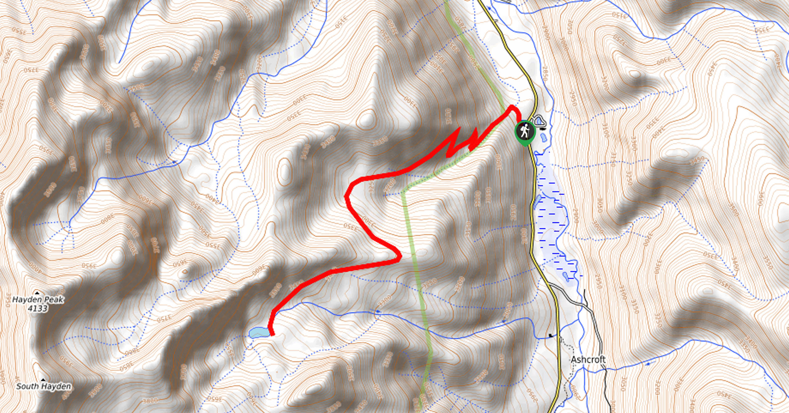
From the trailhead, follow the path for 0.3mi to a divide. The trail to your left loops back to another, slightly smaller butte. The trail on the right continues up to the top of Aztec Butte.
At the top, take a rest and enjoy the 360 views of the canyons below before turning back and following the same path back to the trailhead.
Trail Highlights
The Granaries
The granaries are ancient structures nestled in the alcoves of Aztec Butte that were built and used by the Pueblo Peoples to store grain and seeds collected from the canyon floor. These granaries are one and two room structures that date back to 1200-1300CE.
Frequently Asked Questions
How long is the Aztec Butte Trail?
The Aztec Butte Trail is 1.7mi long.
Insider Hints
The last section of this trail is steep and slippery- proper, grippy footwear is a must.
For a special experience, try this hike at sunset
This hike may be short but don’t forget to bring lots of water and a snack to enjoy at the top.
Similar hikes to the Aztec Butte hike
American Lake Trail
The American Lake Trail is a wonderful scenic adventure up to a green-hued alpine lake nestled in a mountain cirque,…
Druid Arch Loop
The Druid Arch Loop is a fantastic adventure for experienced hikers. This trail leads you to the Druid Arch: a…
Big Springs Canyon Loop
The Big Springs Canyon Loop is a fantastic hiking trail in the Needles District of Canyonlands National Park. This hike…
Comments