Quaite Valley Trail
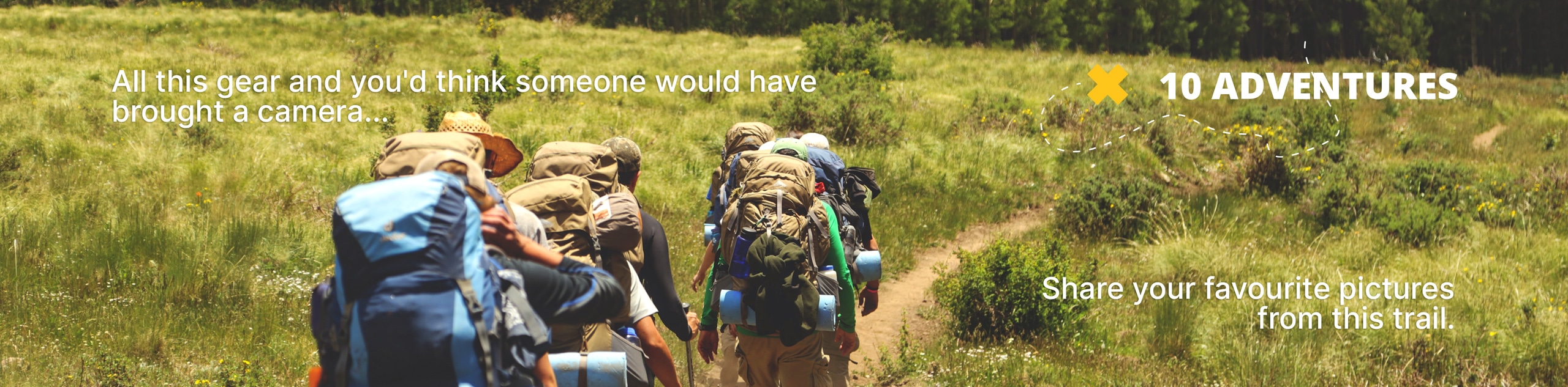
View Photos
Quaite Valley Trail
Difficulty Rating:
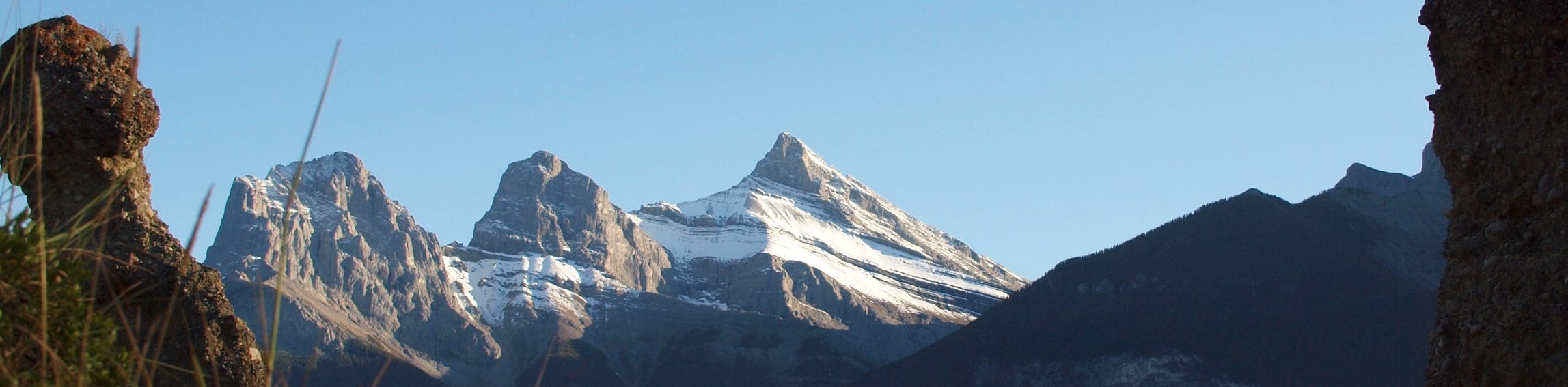
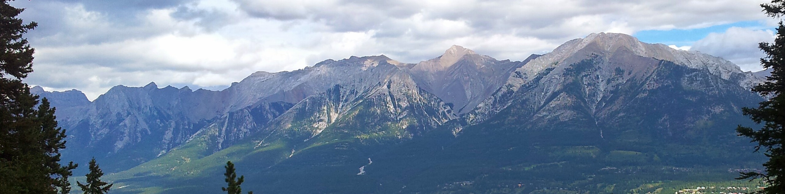
The hike to Quaite Valley campground is an easy one that doesn’t require many logistics. It is perfect for beginners and children alike. The trail begins on a trail that runs parallel to the Trans Canada Highway and enters the valley after a few km. The Quaite Valley Campground is equipped with a firepit, benches, and food lockers that make for the perfect lunch spot. You can continue on to Barrier Lake if you are up to it!
Getting there
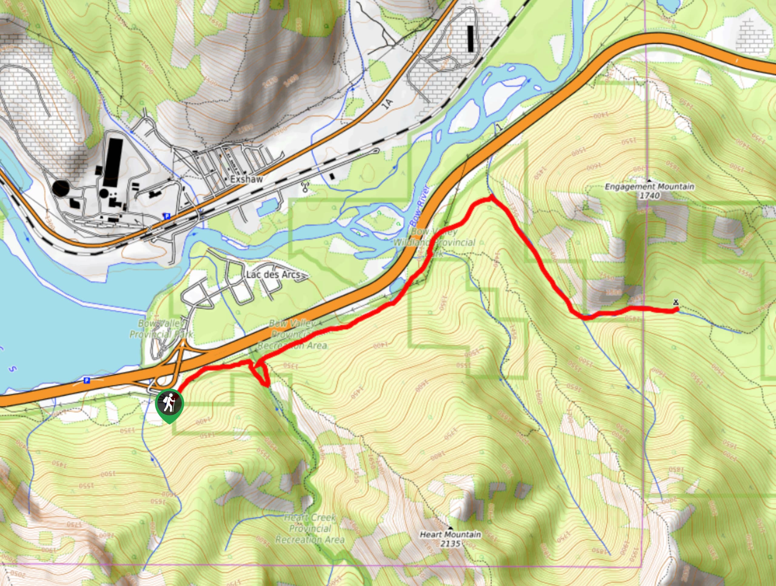
To get to the Quaite Valley Trailhead from Canmore, join the Trans Canada Highway eastbound and stay on this road for 10.6mi before taking the exit for Lac Des Arcs. Stay right for the Heart Creek parking area where your trail will begin.

About
| When to do | June-September |
| Backcountry Campsites | Quaite Valley Campground |
| Pets allowed | Yes - On Leash |
| Family friendly | Yes |
| Route Signage | Average |
| Crowd Levels | Moderate |
| Route Type | Out and back |
Quaite Valley Trail
Elevation Graph
Weather
Quaite Valley Trail Description
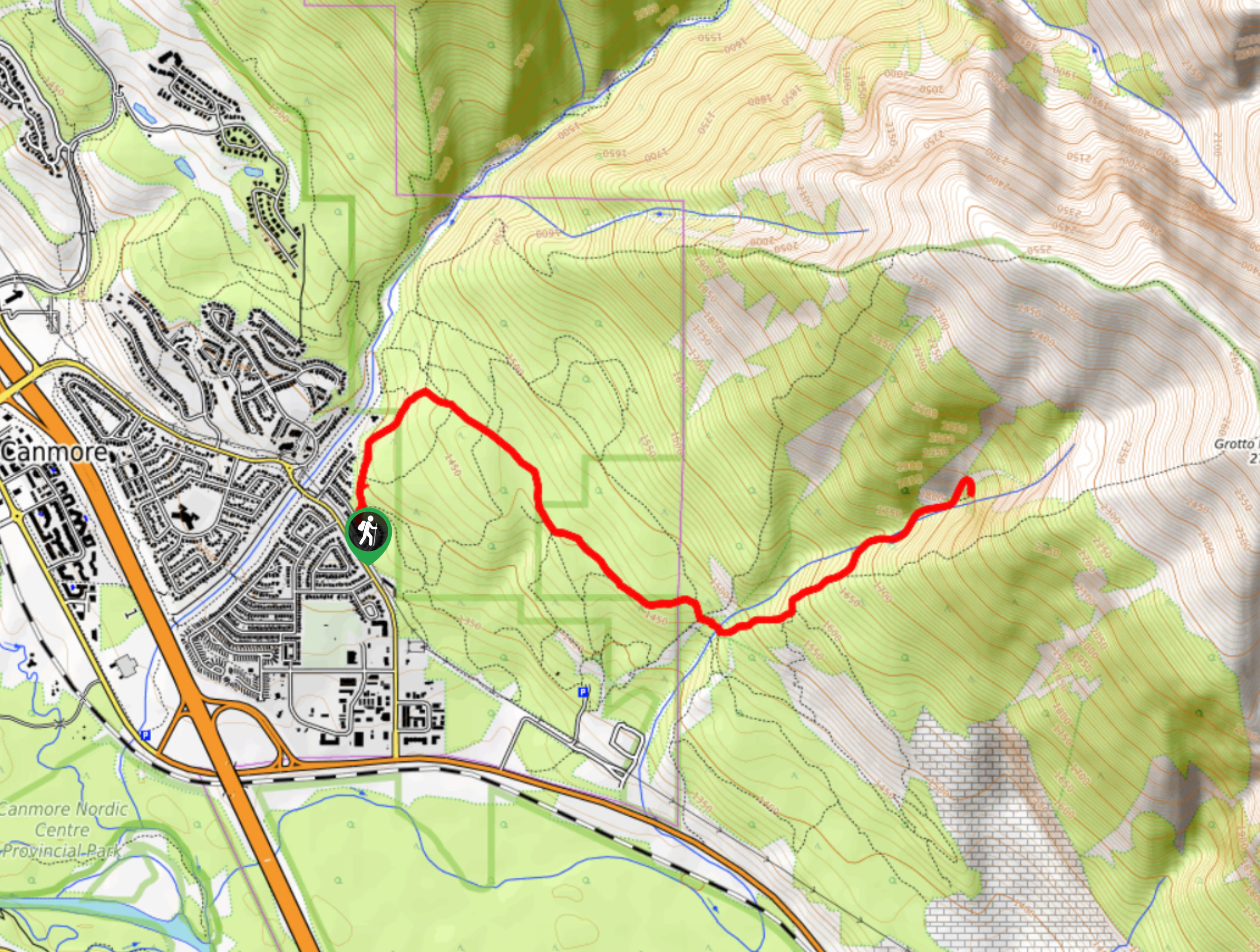
Quaite Valley sees mostly backpackers that are seeking an easy overnight, but it makes for an excellent day hike. From the parking area find the main trail kiosk on the east end of the lot. Join the Heart Creek trail for 0.6mi before reaching a meadow that leads to a trail junction. The trails to the right lead to both Heart Mountain and Heart Creek. Stay straight and continue on the trail that heads eastbound, parallel to the Trans Canada Highway. After 2.2mi, you will take the trail to the right that leads to Quaite Valley. The trail follows the valley below engagement peak for 1.2mi before reaching the campsite. Enjoy a lunch break here before heading back the way you came.
Similar hikes to the Quaite Valley Trail hike
Echo Canyon Trail
The Echo Canyon trail in Canmore is accessible from the Cougar Creek area and is close to local amenities. It…
Canmore Hoodoos Trail
The Canmore Hoodoos Trail is a quick trip from downtown to explore the bench above the valley. It has outstanding…
Highline Trail
The Highline Trail is a multi-use trail in Canmore that travels westbound to Quarry Lake and the Powerline Trail before…
Comments