Fish Creek and Parkland Ridge hike
View Photos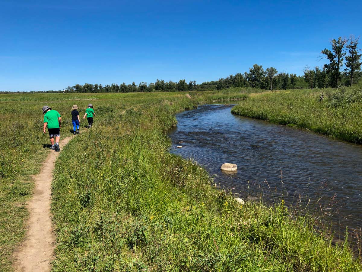
Fish Creek and Parkland Ridge hike
Difficulty Rating:
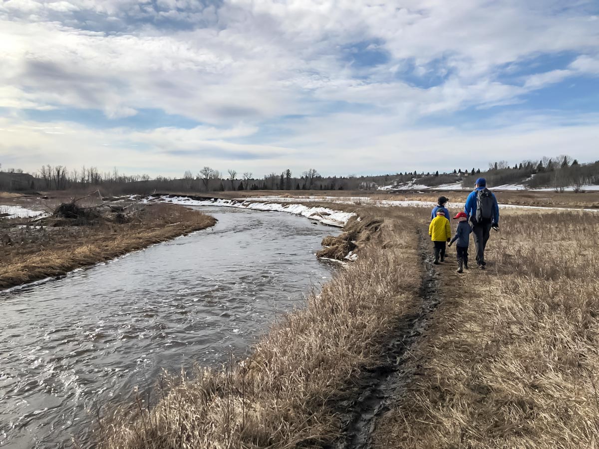
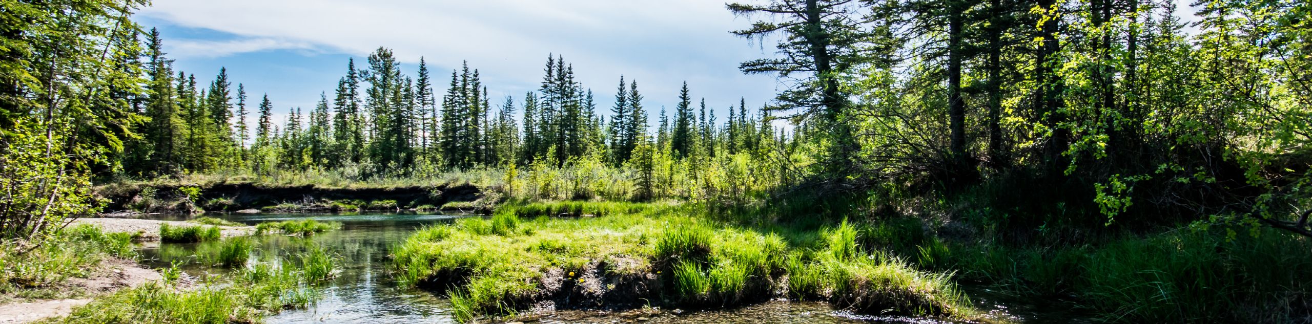
The Fish Creek and Parkland Ridge Hike starts in Canada’s largest urban park, spanning over much of the south side of Calgary. Exploring Fish Creek Park is ideal for a day trip, with gentle trails leading towards Fish Creek. Bring binoculars for spotting wildlife, including beavers, deer, and endemic bird species.
Getting there
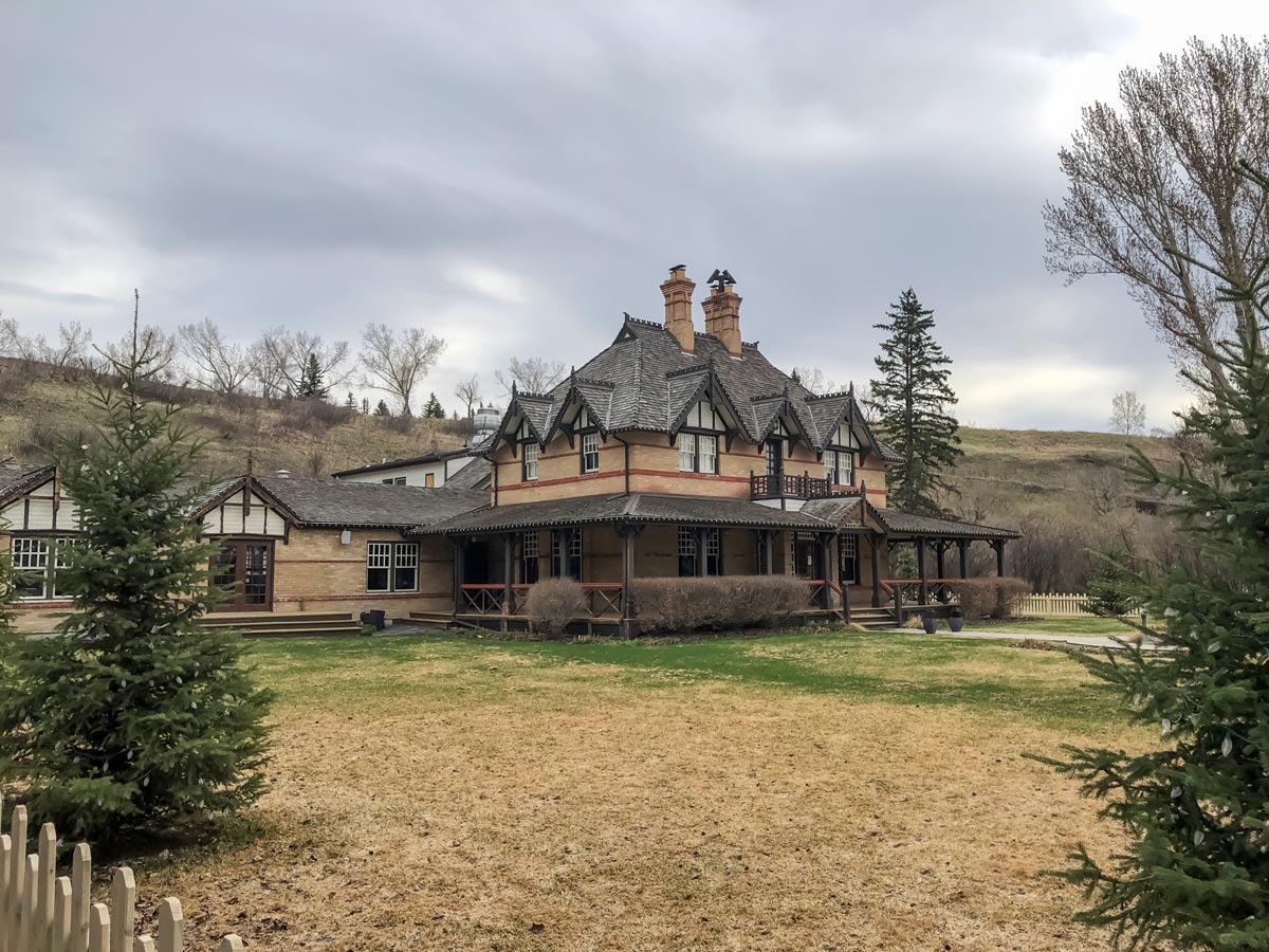
To park at the Bow Valley Ranch Visitor Centre, take Deerfoot Trail South and stay right onto Bow Bottom Trail South. Follow Bow Bottom Trail South until you enter Fish Creek Provincial Park, where the road narrows into two lanes. Once in the park, take the first turn on the right into the Bow Valley Ranch area. Park your vehicle in the parking lot and proceed to the Visitor Centre.

About
| When to do | Year-round |
| Family friendly | Older Children only |
| Route Signage | Average |
| Crowd Levels | Moderate |
| Route Type | Circuit |
Fish Creek and Parkland Ridge
Elevation Graph
Weather
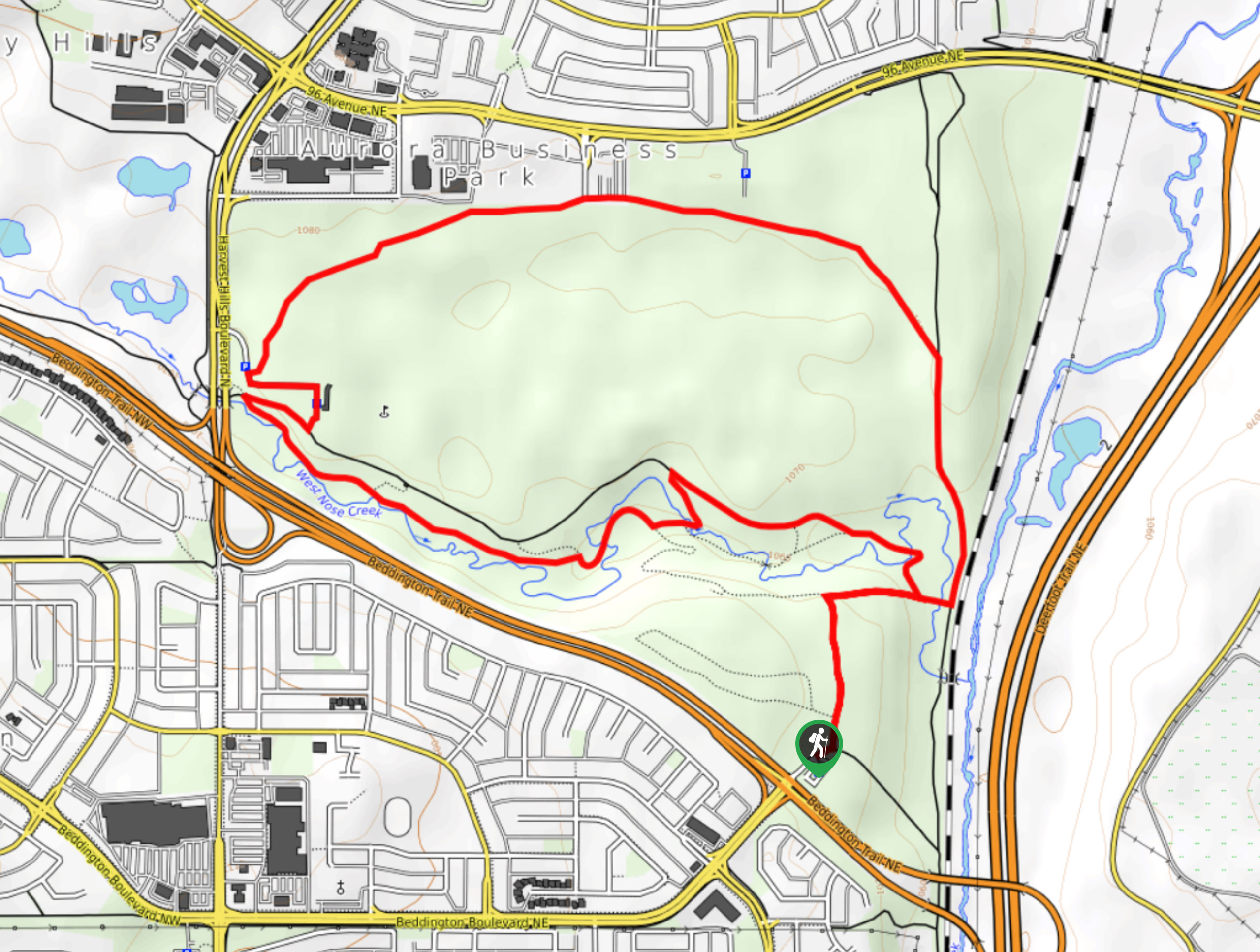
Route Description for Fish Creek and Parkland Ridge
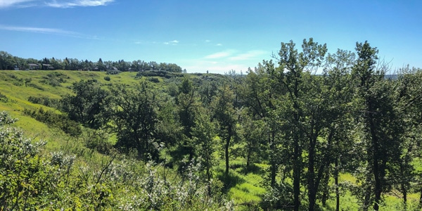
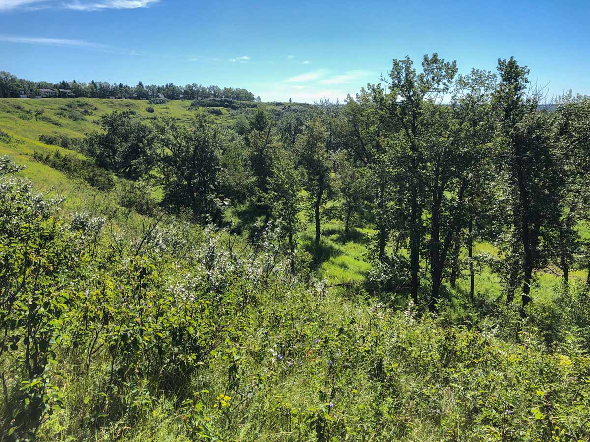
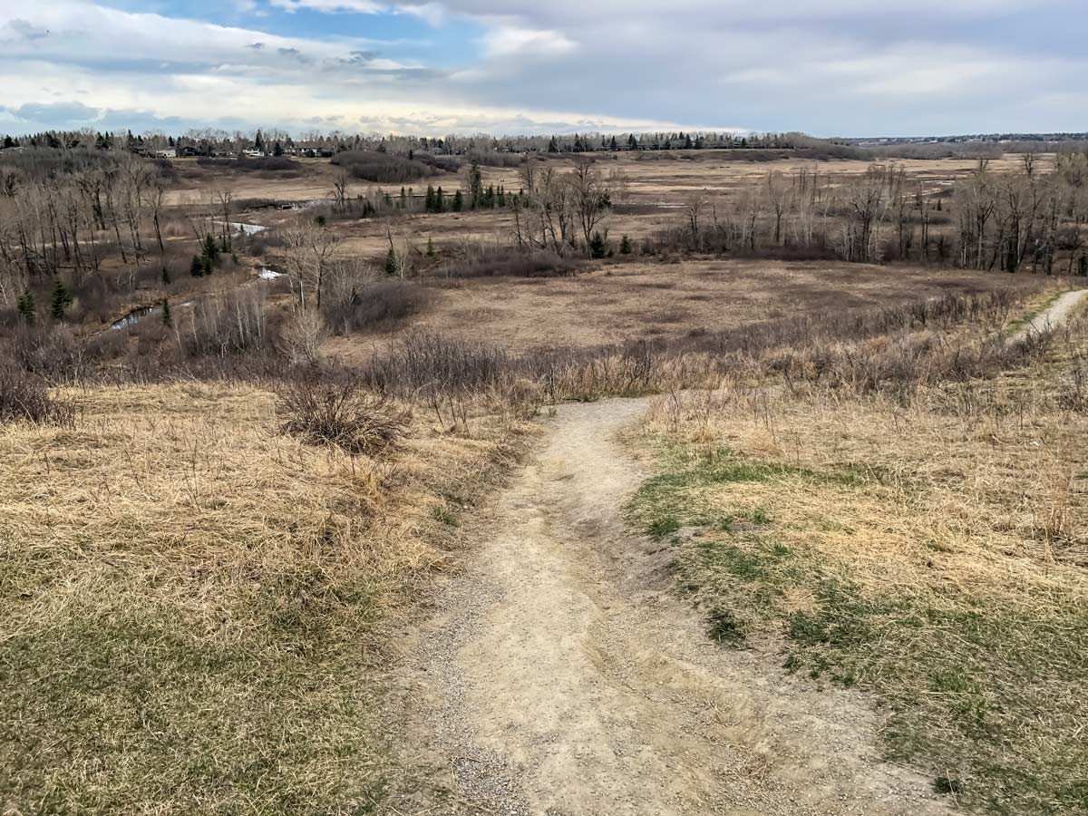
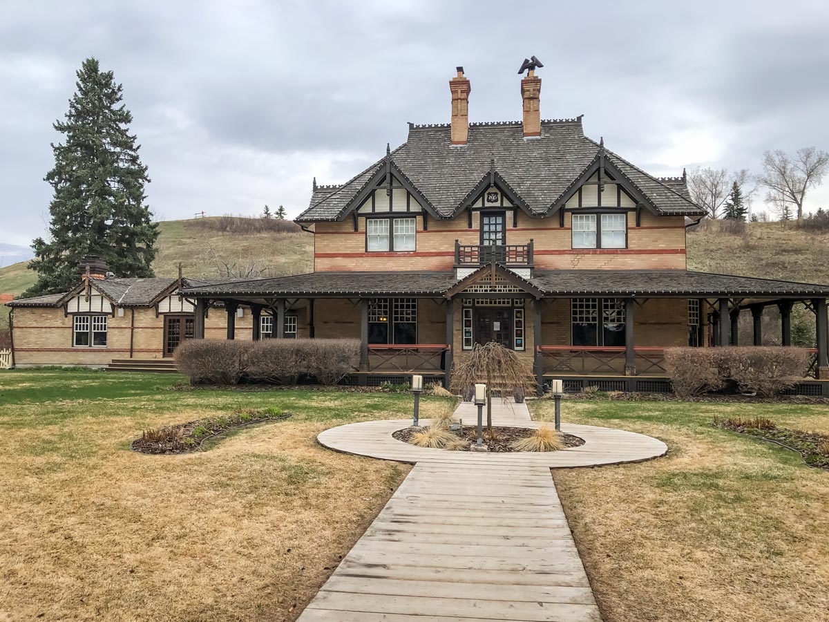
Start your Fish Creek and Parkland Ridge hike right at the parking lot that serves the Bow Valley Ranche Restaurant. Walk towards the Bow Valley Ranch and continue to walk west. After passing through a metal barrier, go right and climb the hill to Parkland Ridge. Enjoy the views over Fish Creek from this paved pathway, though watch out for cyclists coming down this steep hill.
Once on Parkland Ridge, you have wonderful views out to the Rockies. While you could follow this paved pathway along Parkland Ridge all the way north, it’s more fun to get down on the dirt trails in the valley. If you don’t have a stroller, then look for a gravel pathway on your left that soon goes down back into Fish Creek. You’ll see the path on your left as the paved pathway you’re on curves to the right.
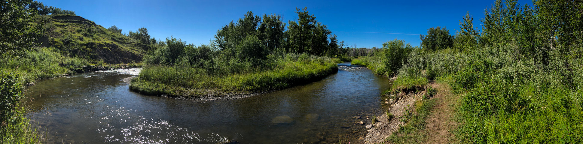
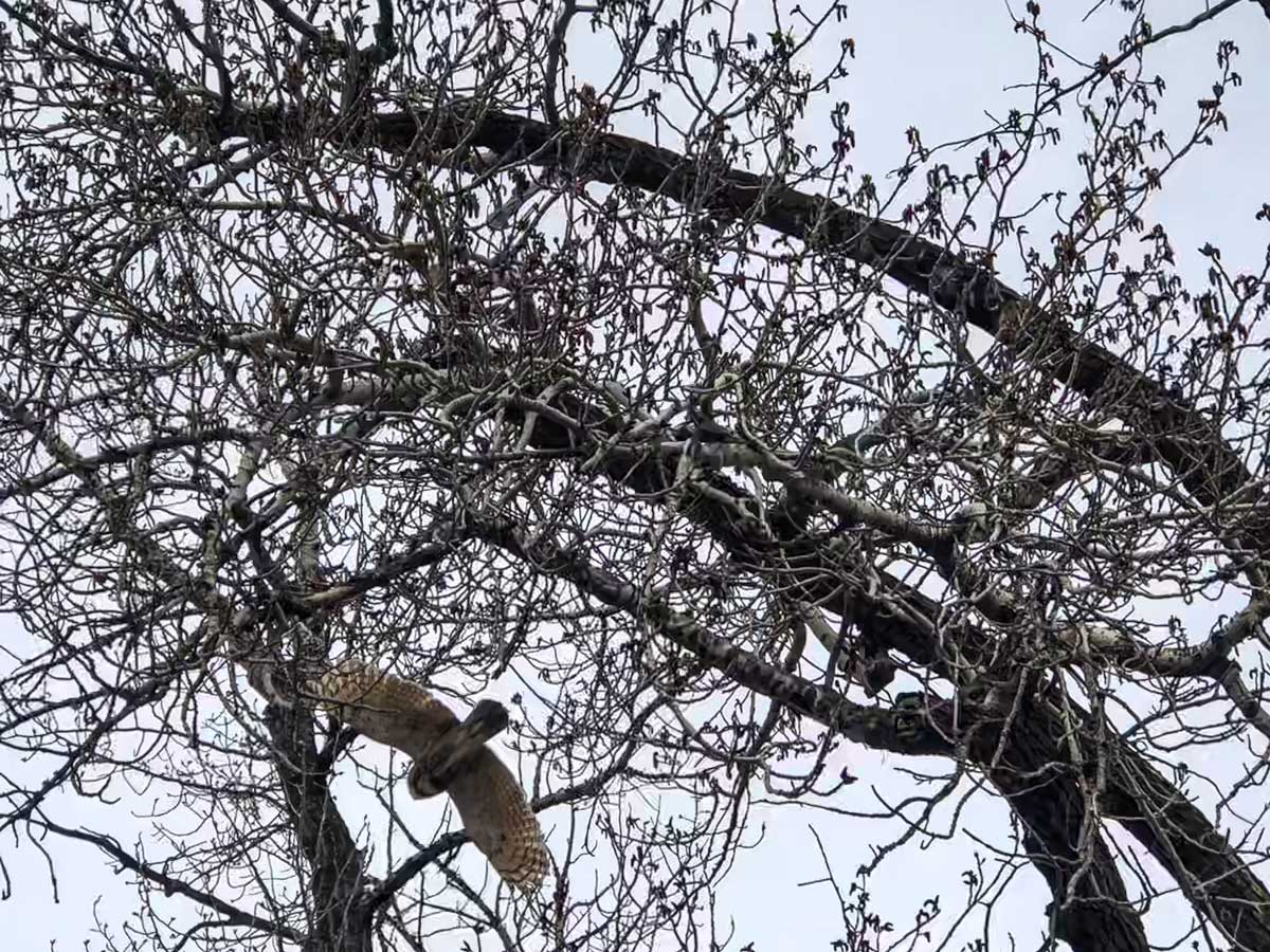
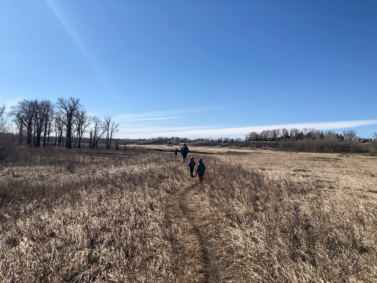
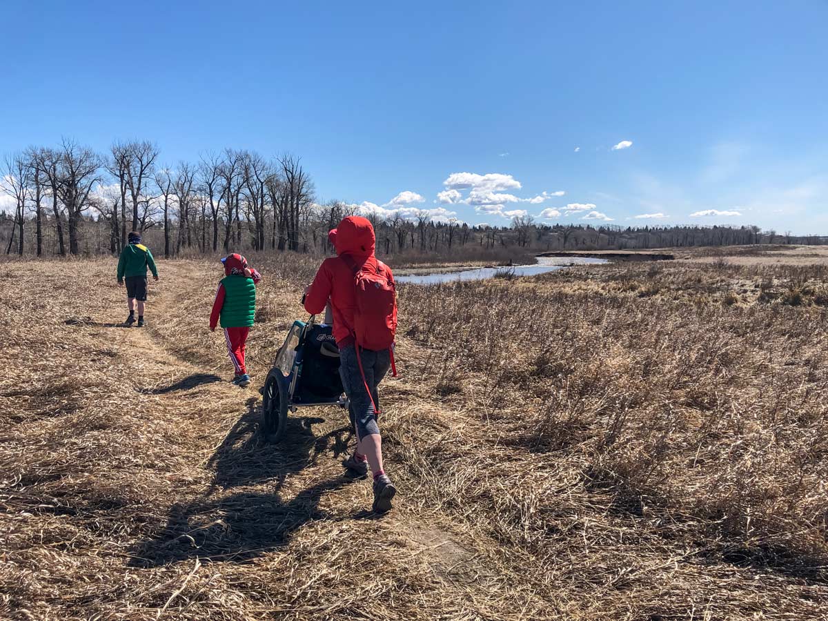
Once down in the valley, you’ll see a curve in Fish Creek, but continue right, exploring a trail that roughly parallels the ridge above. As you go through grassland and small forested areas, keep your eyes open for wildlife. It’s common to see deer, hawks, and bald eagles here, as well as the occasional owl.
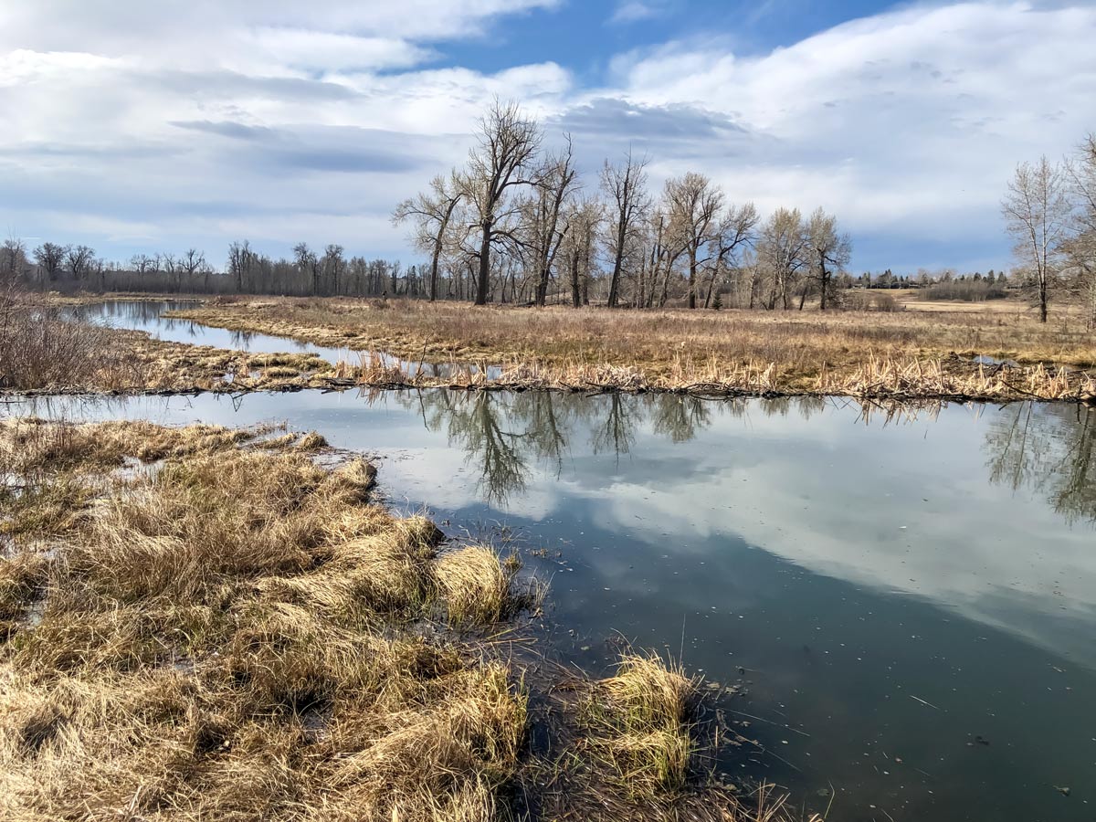
After roughly 1km, you’ll come to a 4-way junction with a red gravel path going up on your right. If you go to your left, you’ll head down to a beaver pond. You won’t see beavers during the day, but you can usually see beavers in early evening (and the map for this walk shows the route to the Beaver Pond). Enjoy the beaver pond and then retrace your steps and ascend the red gravel path back up to Parkland Ridge.
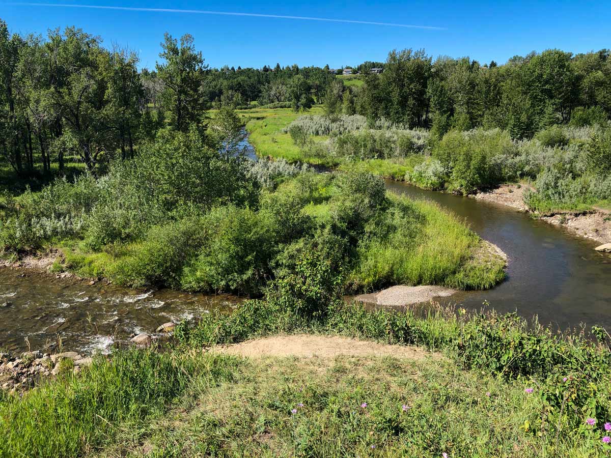
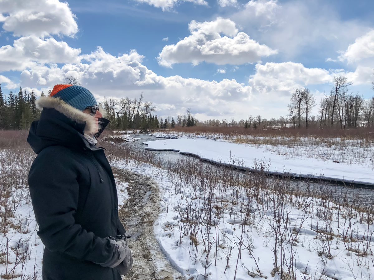
Once on the right, go left and follow the curve around on a paved path as it heads towards Canyon Meadows Drive. Follow the path as it curves to the left on the edge of Fish Creek, and then take a steep, paved path down into Fish Creek. This marshy area at the bottom is a beaver’s paradise, and you can expect to see them here early or late in the day.
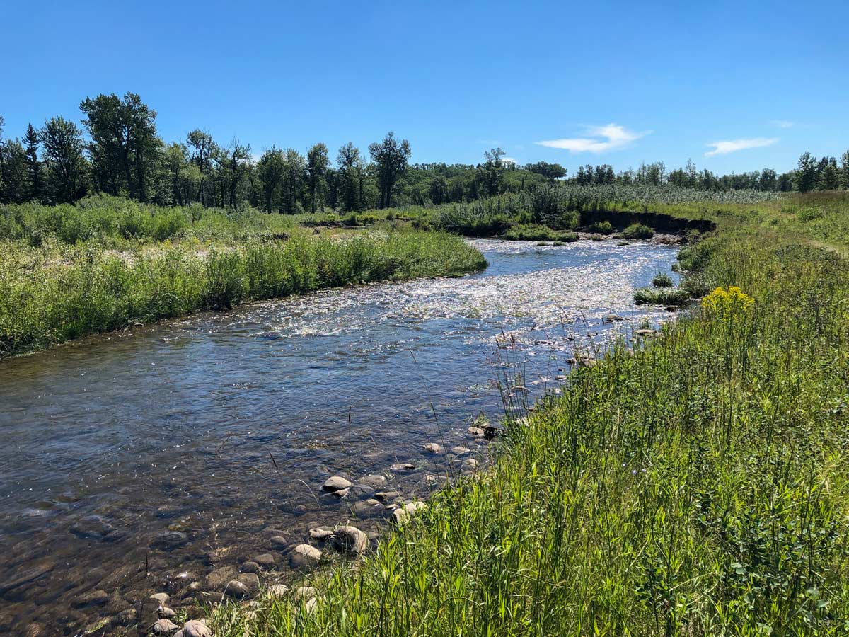
Stay on the paved path and cross over Fish Creek on a massive bridge designed to withstand a major flood. Once over Fish Creek, take a gravel path going off to your left. From this point, you can either make your way onto a paved path and head back to the Ranch, but it’s a lot more fun to explore one of the trails that goes along Fish Creek and the many ponds. The route we show on our map involves following this gravel path around the ponds, however there is a rough dirt path right beside Fish Creek that is also enjoyable. Come back multiple times and try different routes, they are really different.
Follow the path, and as long as you are generally going east you are on the right path. Our map shows us connecting with the main paved path for about 49ft before heading back down on our left towards Fish Creek on a small dirt path. We then walk beside Fish Creek and come along a pond full of dead trees. This is an unparalleled place to birdwatch, so pack binoculars!
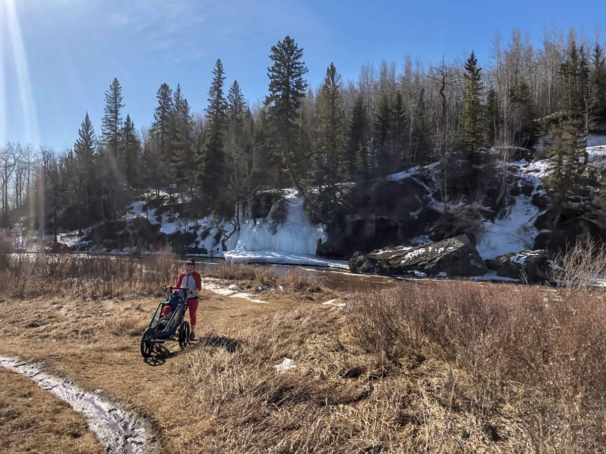
Rejoin the main paved path and re-cross Fish Creek on a wooden bridge. Once on the other side, you can continue to your car on the paved path, but we like to head to the right on a dirt path towards the Fish Creek Ice Caves. The ice caves are formed by a massive ice wall created during the winter season and makes for an incredible photo opportunity, though don’t go inside. Once sufficiently explored, continue along Fish Creek and head left when you reach a paved path, which will lead you to your car.
Insider Hints
There are multiple options for smaller trails that branch off, so you can truly customize your hike or come back time and time again to explore different routes.
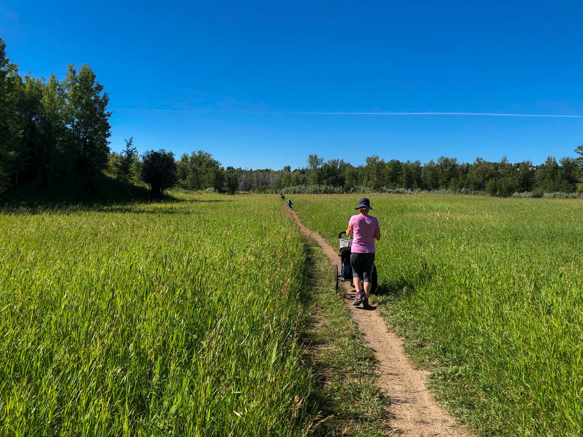
If you stay on paved pathways this is a great stroller walk, and you can take a chariot on the bike for most of the dirt tracks.
Get a coffee, ice cream, baked treat, or one of each at Annie’s Café.
The Ranche is a great place for a special meal.
Bring a picnic blanket and have a picnic by one of the ponds or beside Fish Creek.

Similar hikes to the Fish Creek and Parkland Ridge hike
Nose Creek Park Loop
The short and easy Nose Creek Park Loop Trail is a good trail for families looking for fresh air. This…
Griffith Woods Perimeter Loop
Griffith Woods Park is located at the southwest edge of the city, making it feel like you have completely escaped.…
Eagle Lake Trail
The hike to Eagle Lake is a great flat and easy trail to a remote lake. Eagle Lake is just…
Zina SW. 4 years ago
This hike is overflowing with wildlife. It's just incredible! I'm glad they were able to keep balance in this area.
Haffy K. 4 years ago
This hike is ideal for a day trip, with gentle trails leading towards Fish Creek. Magnificent view of the wildlife. There's also a picnic spot by one of the ponds or beside Fish Creek. A beginner-friendly hike.
lavenderheaven 4 years ago
It was shorter than I expected. The trail was relatively easy. Effortless hike with great views.
Ewen P. 4 years ago
This hike definitely nailed the basics. It's mostly flat and straightforward. Good for short trips and picnics.
Christopher Trujillo 5 years ago
It is Calgary's gem. Wildlife here is outstanding. There are tons of endemic birds during summer.
Nigel F. 5 years ago
There's nothing special about the hike, but it's good. Air quality is awesome.
Emma Tree 5 years ago
So impressive! It is relatively flat so great for casual biking but there are lots of single-track bike trails along the ridges on both the north and south side of the valley. Totally worth it, I'd go every day if I could.
Fredie L. 5 years ago
The views here are mesmerizing. A short hike to unwind. I had a great experience here.
Sean Kater 5 years ago
A perfect spot of green in the city. Lots of trails to hike or jog. Awesome hike.
Harry S. 5 years ago
Watch out for cyclists coming down from the steep hill. Nice view of Fish Creek. A quiet and lovely place.