Bow River Pathway North hike
View Photos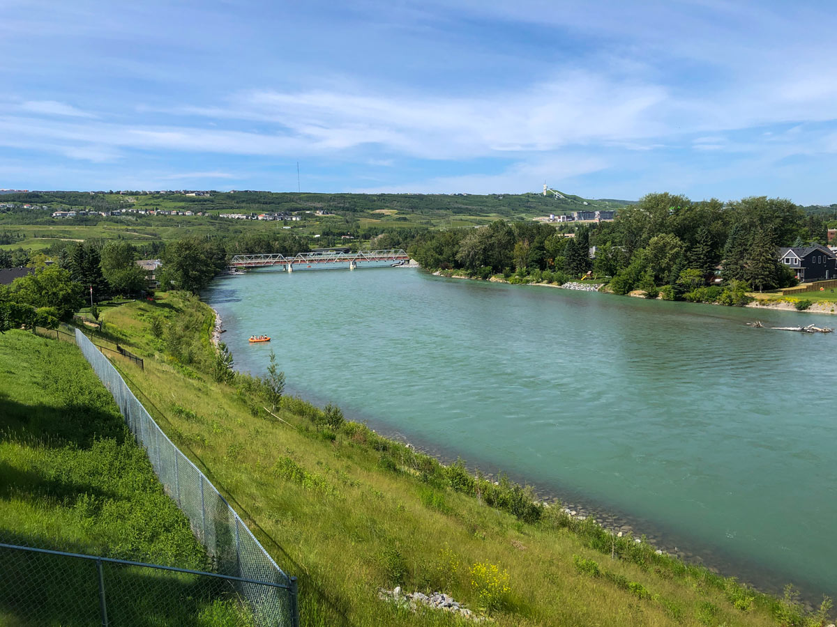
Bow River Pathway North hike
Difficulty Rating:
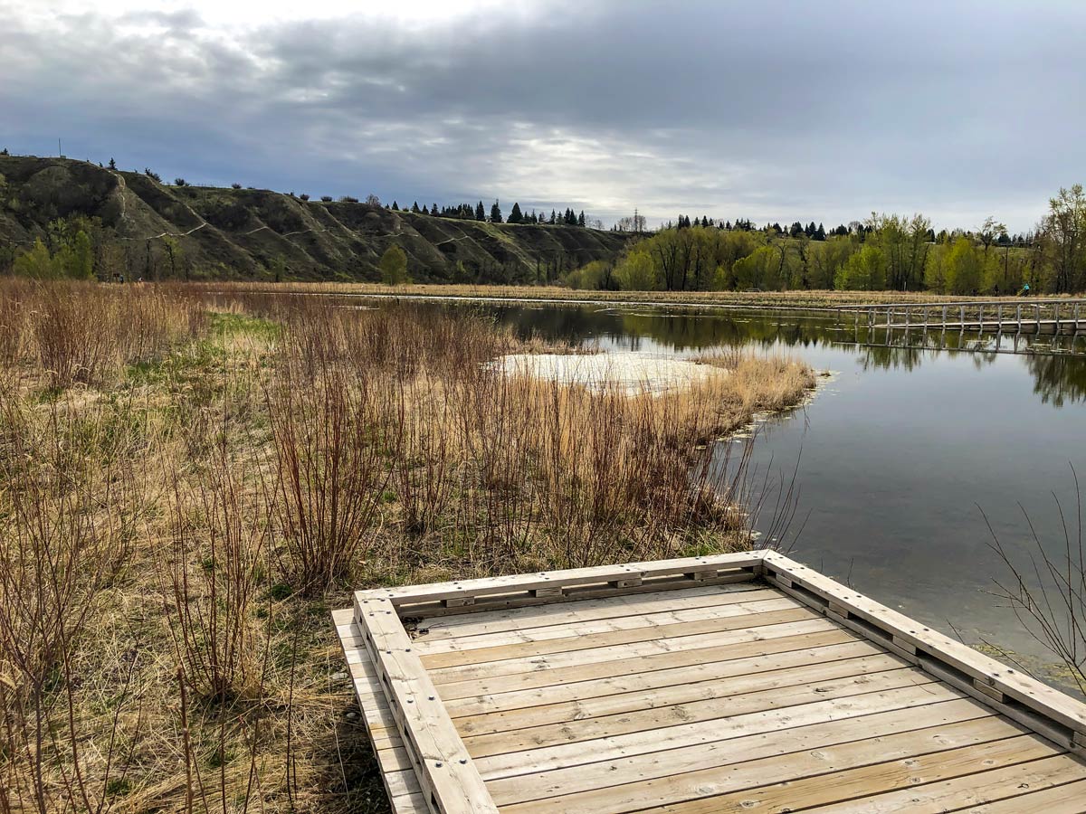
Embark on a stunning urban hike in the city of Calgary from Dale Hodges Park, following the popular Bow River Trail. This trail is a local favourite, known for its sweeping views over the city, paths that follow the babbling Bow River and a picturesque pond with a small dock for picnic stops.
Getting there
From downtown Calgary, take 6 Ave SE heading west onto Bow Trail SW, exit for Crowchild Trail North and continue onto Parkdale Blvd NW. Take Bowness Rd NW to 18 Ave NW and turn right onto Home Rd NW, then turn left onto 52nd Avenue and park in the public parking lot just before Maranatha Christian Reformed Church.

About
| When to do | Year-round |
| Family friendly | Yes |
| Route Signage | Average |
| Crowd Levels | Moderate |
| Route Type | Circuit |
Bow River Pathway North
Elevation Graph
Weather
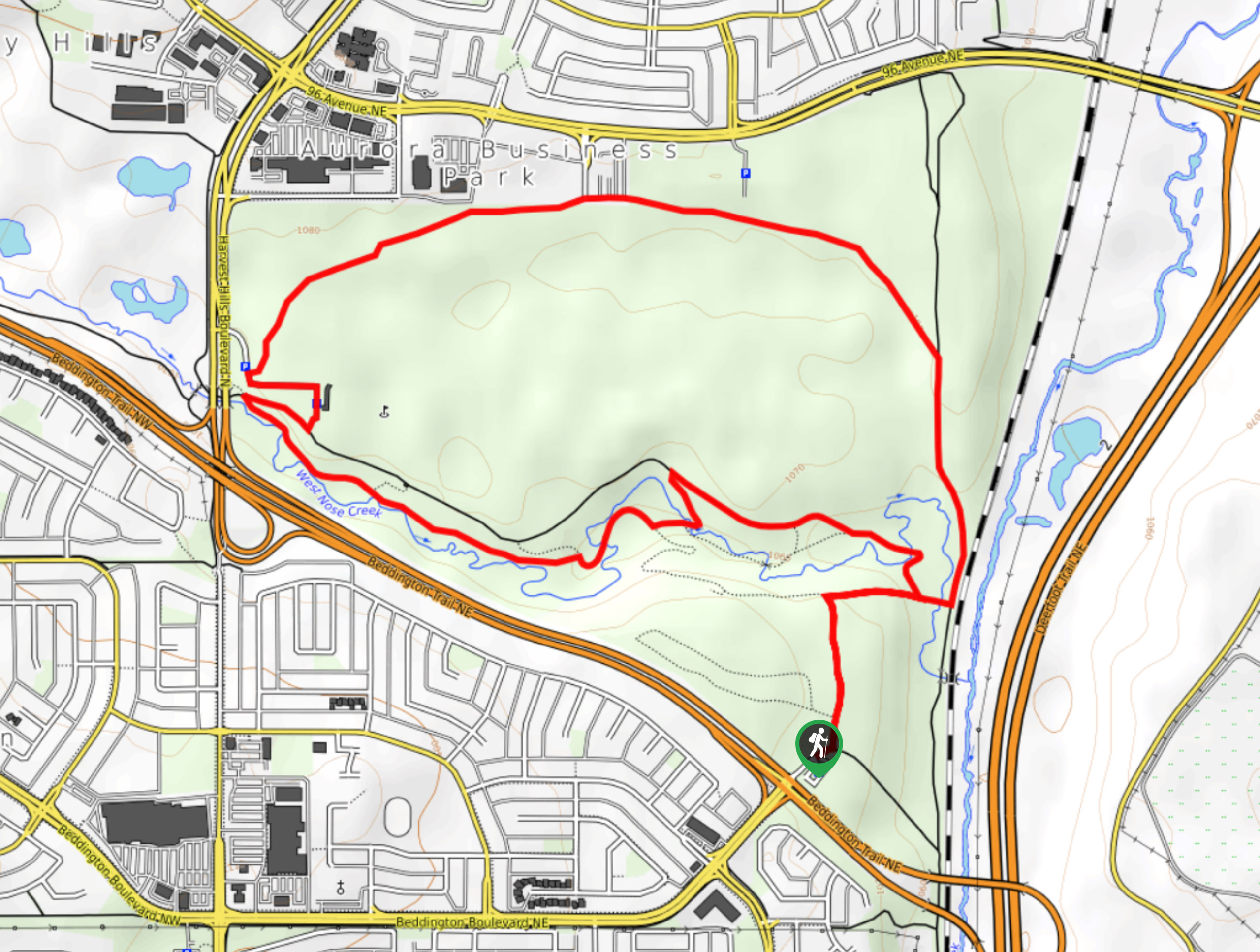
Route Description for Bow River Pathway North
Start the Bow River Trail hike just beside the Maranatha Christian Reformed Church, following a trail that heads north out of the parking lot. Note that the parking lot can fill up on weekends, so it’s best to get there early.
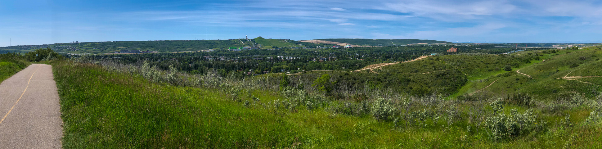
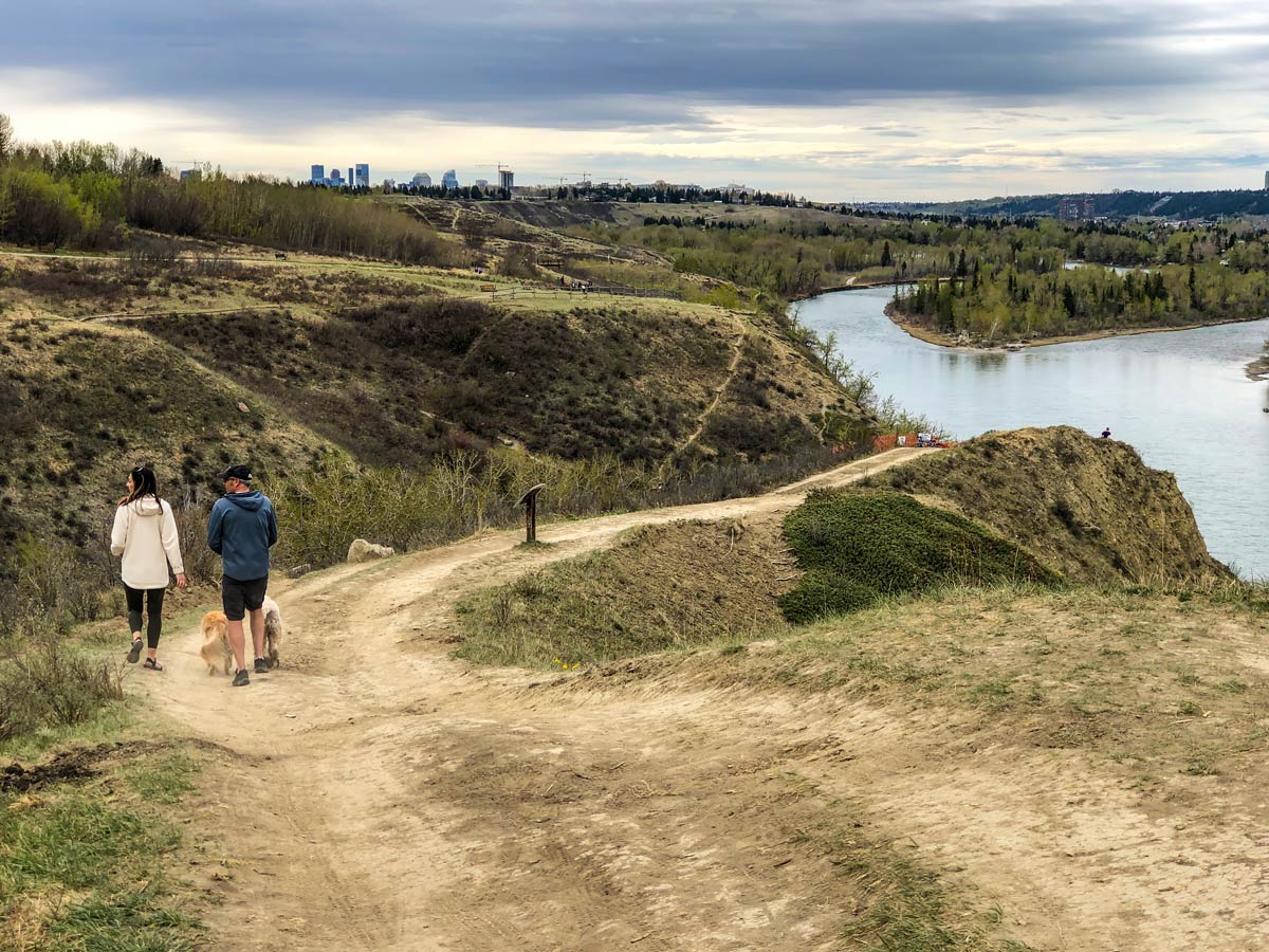
Following the paved Bow River Pathway, there is an immediate viewpoint overlooking the Bow River Valley. The trail continues north, surrounded by tall grass and wispy trees that burst with colour during the fall and are lush with greenery during the summer months.
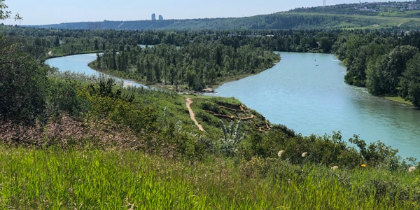
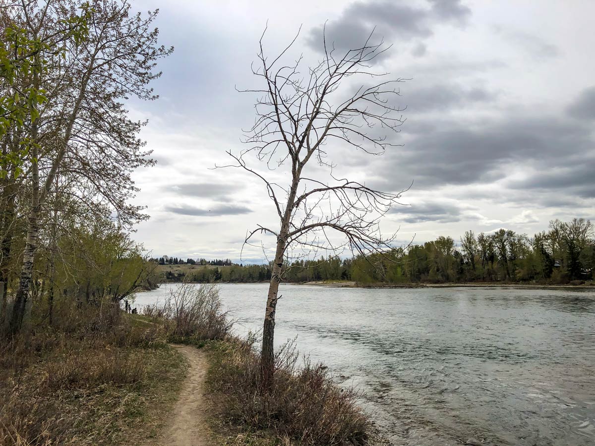
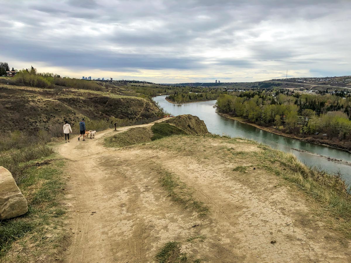
About 1804ft down the path, you’ll find the Bow River Park Vista Point on the left-hand side with pretty views over the scenic Bow River that snakes along most of the trail, creating quite the picturesque setting. During the warmer months, you might spot paddlers gliding by in their canoes or rowers pushing past in their kayaks.
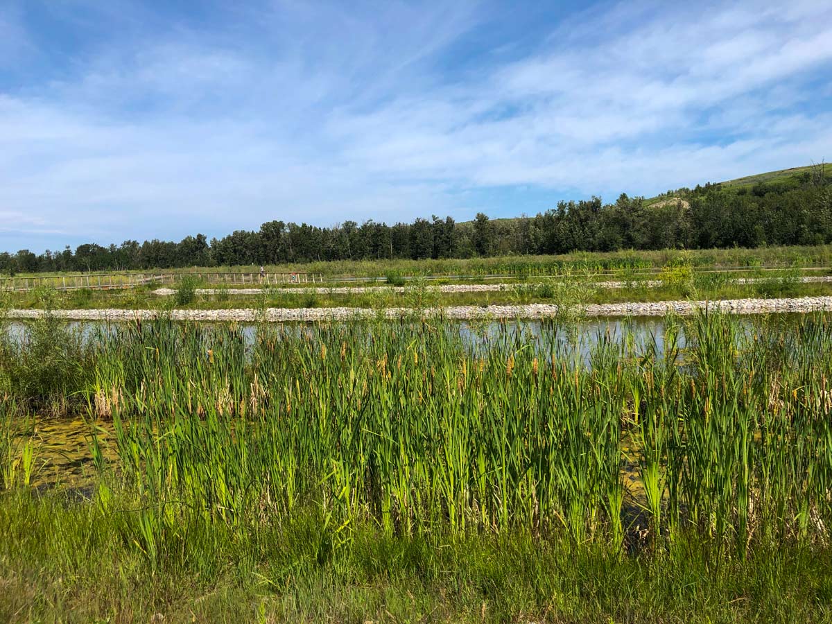
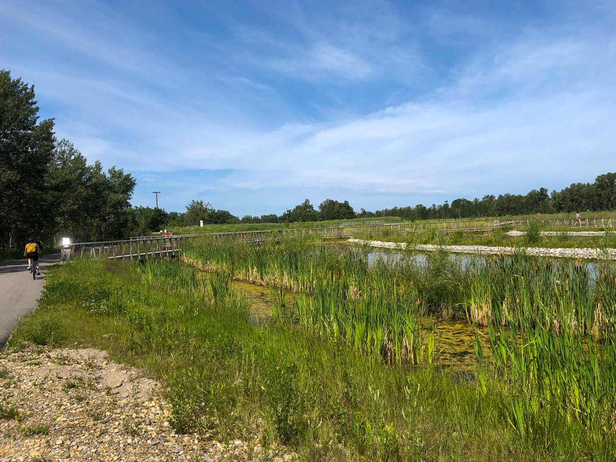
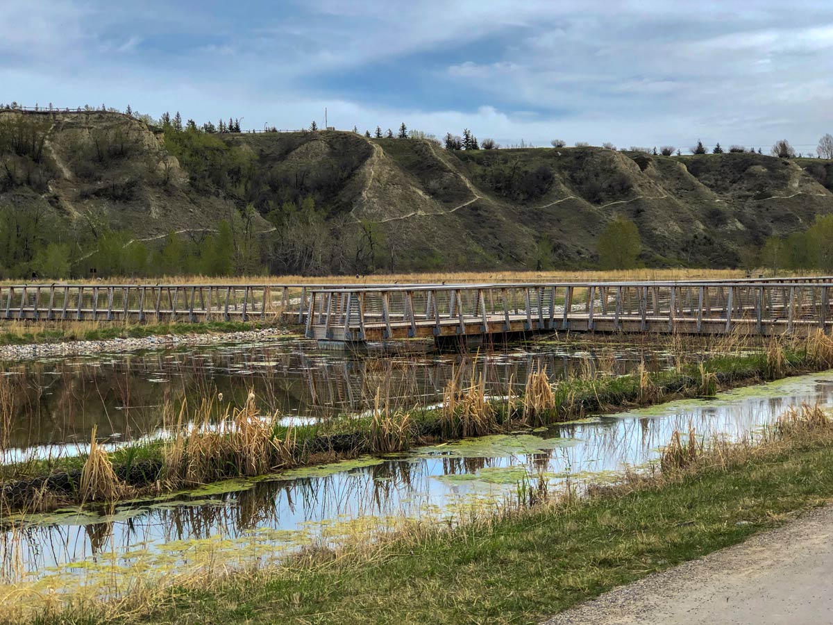
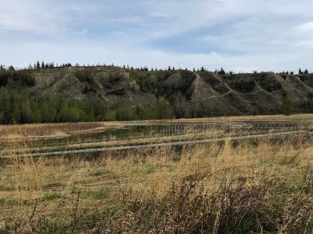
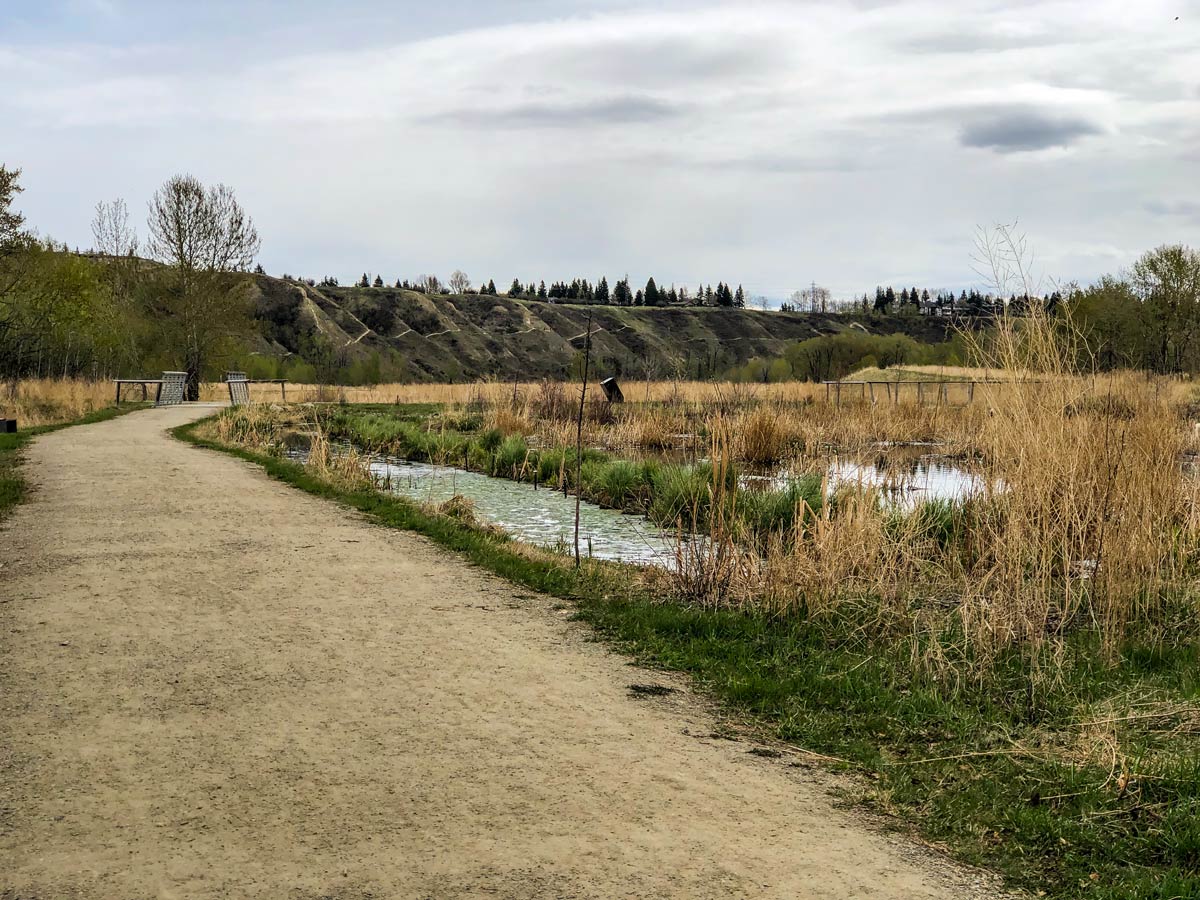
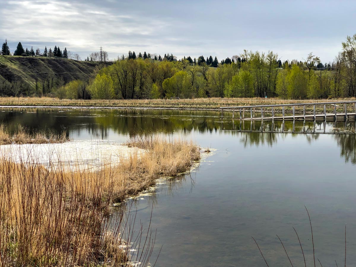
Continue following the paved Bow River Pathway and soon you come to a relatively new stormwater pond in Dale Hodges Park. This pond was built as a remarkable collaboration between parks, water resources and public art. This is an interesting place to explore, and the path makes a detour to examine them on the way back.
After these ponds, continue along the paved path, or you can follow a narrow dirt track that heads off to your left that follows the Bow River, which is a fun alternative to going out and back on the same path. This track is not suitable for strollers and you may share it with mountain bikers, so keep your head up. Each year the path erodes a bit, so be aware of local conditions, and if the pathway has worn away, turn around.
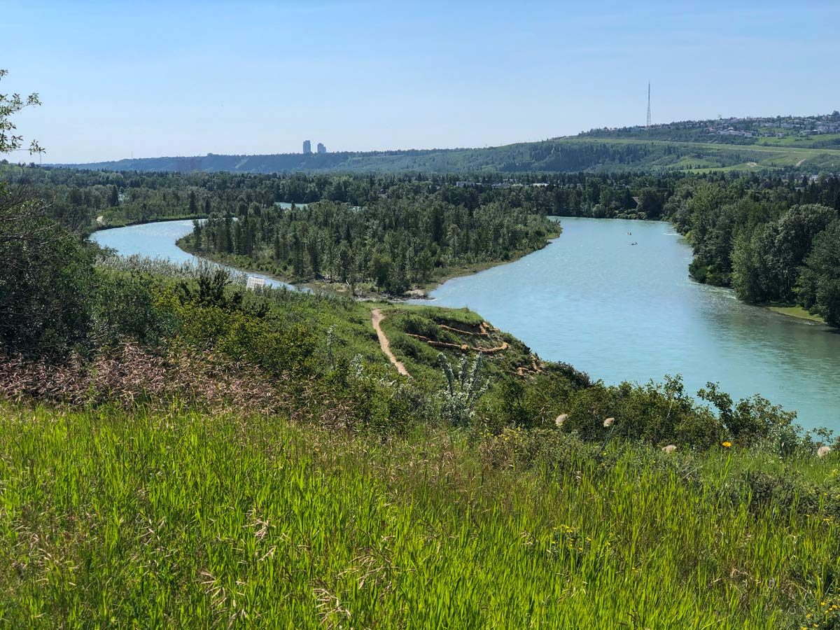
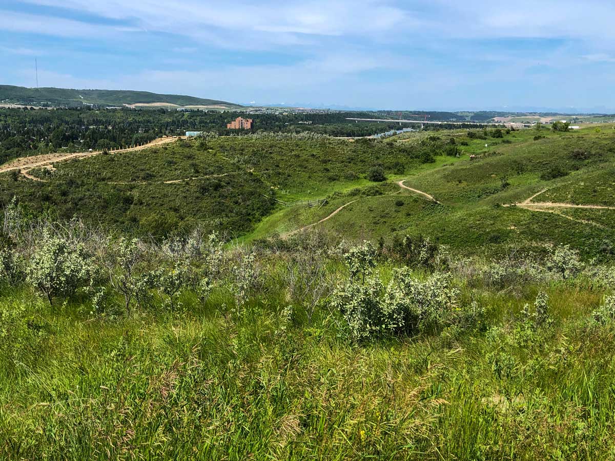
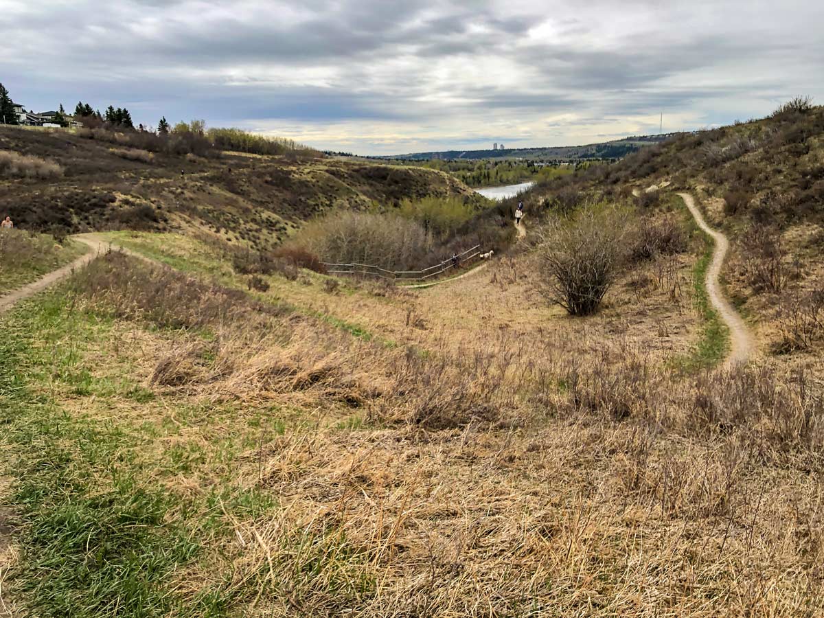
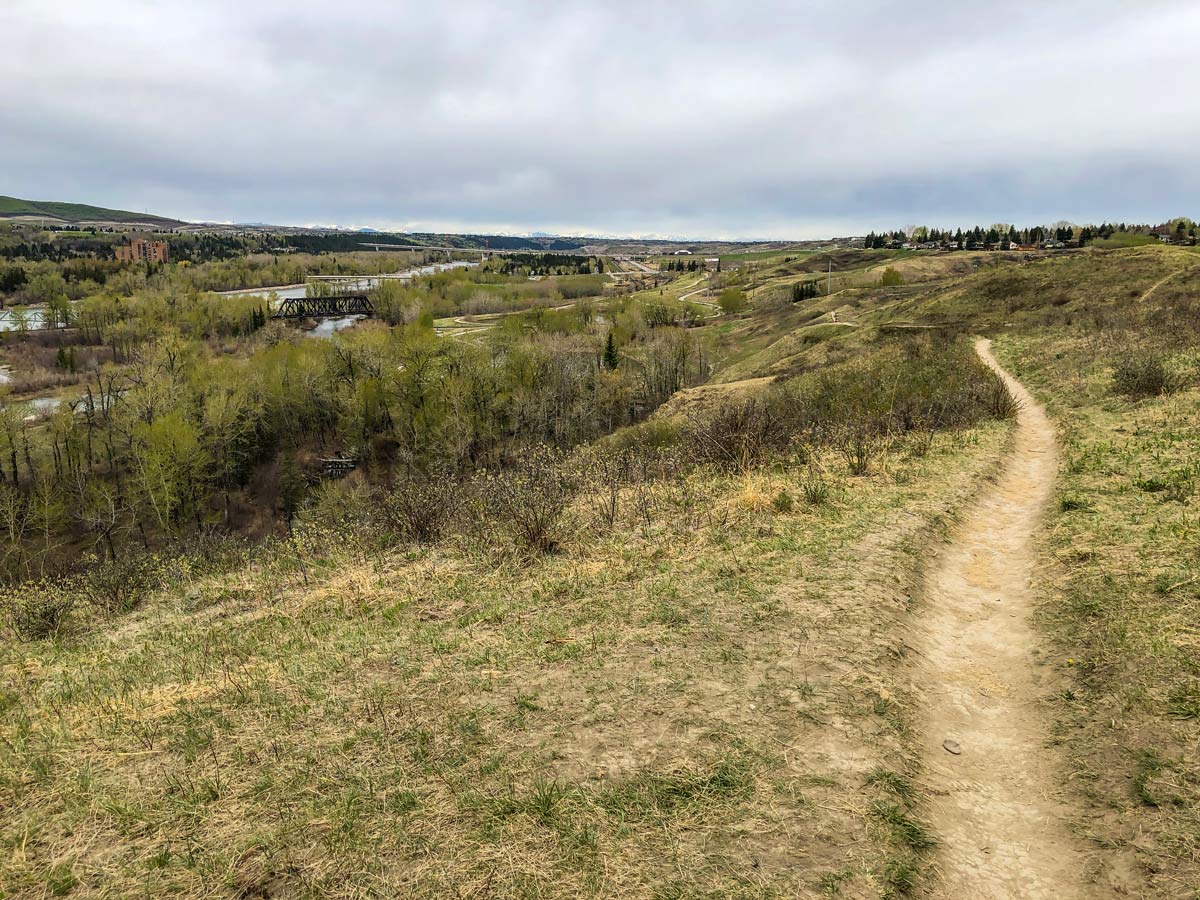
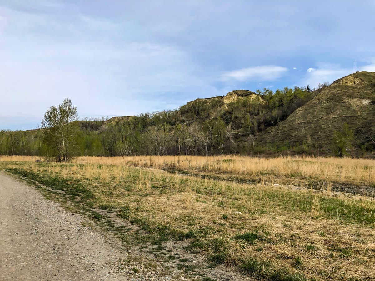
You’ll notice a coulee opening to your right as the Bow River turns away on your left. You’re in Silverthorn Park, and this is a fun area to explore. There is a small hill to climb, a boardwalk, and a set of stairs. There are also great views over the Bow River Valley and in the distance, the jagged peaks of the Rocky Mountains.
After summiting the little hill, curve around and climb back to the Bow River Pathway on the ridge. Once you rejoin the pathway, you can go left and continue to Bowmont Park and even cross the river to Bowness Park, both worthy objectives.
On our map we return to the car by going right and following the path until back on Bow River Pathway, where you’re in the home stretch! Walk further down the path past the Bow River Park Vista Point once more and then you’ll have arrived back at the entrance point by the church.
Insider Hints
The Bow River Trail does continue further, so those who are ambitious can extend their hike into Bowmont Park or even cross the river into Bowness Park.
There are dirt trails that break off along the way. These are fun to explore and we recommend heading off and seeing where they take you. Note that these trails are also used by mountain bikers and trail runners, so pay attention.

Similar hikes to the Bow River Pathway North hike
Nose Creek Park Loop
The short and easy Nose Creek Park Loop Trail is a good trail for families looking for fresh air. This…
Griffith Woods Perimeter Loop
Griffith Woods Park is located at the southwest edge of the city, making it feel like you have completely escaped.…
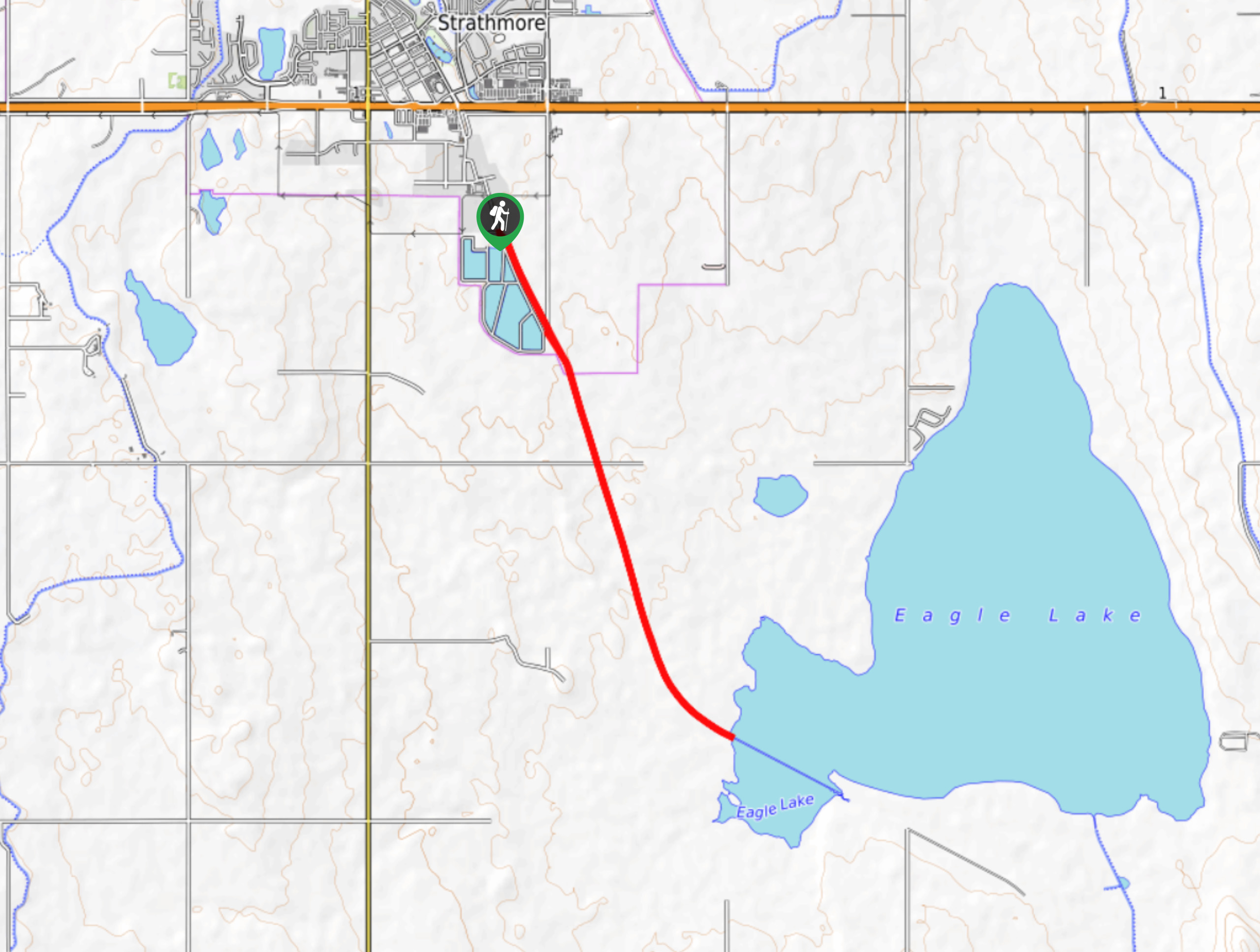
Eagle Lake Trail
The hike to Eagle Lake is a great flat and easy trail to a remote lake. Eagle Lake is just…
Coll A. 4 years ago
A stunning urban hike in the city of Calgary. This trail is a local favorite, known for its sweeping views over the city. There's also a pond with a small dock for picnic stops.
Zina SW. 4 years ago
It's a nice peaceful hike! No wonder why it's highly recommended by the locals!
Haffy K. 4 years ago
The trails are also good for mountain bikers and trail runners. There are also dirt trails that break off along the way. This place offers a lot of places to explore.
Meng Hin Jai 4 years ago
Nice and easy hike. The whole bike ride was 50km. We really enjoyed it.
Mike Constance 4 years ago
Great biking and hiking trail. It was so relaxing and peaceful. Would definitely recommend it to everyone.
Artemis H. 5 years ago
Had so much fun spotting some paddlers! Love this trail.
Atlanta R. 5 years ago
This is a nice hiking area.The greenery was fantastic.
Ewen P. 5 years ago
Nice circuit trails. It was a great hike. Nothing so fancy but a great workout.
lavenderheaven 5 years ago
Great hike with steady trails. It's pretty short and easy. Anyone can do it!
Jeremy R. 5 years ago
It's good If you have bikes. It'll take longer but I really recommend it when the weather is good. Great experience.