
Nose Hill hike
View Photos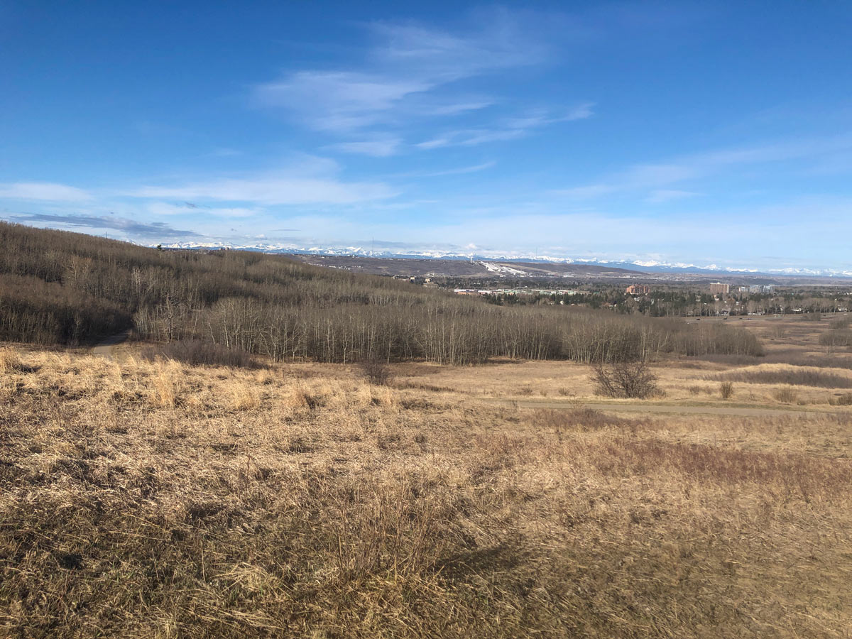
Nose Hill hike
Difficulty Rating:
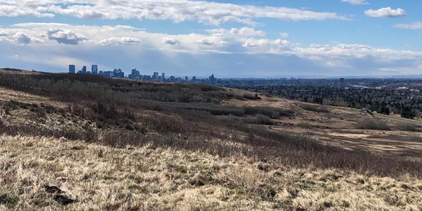
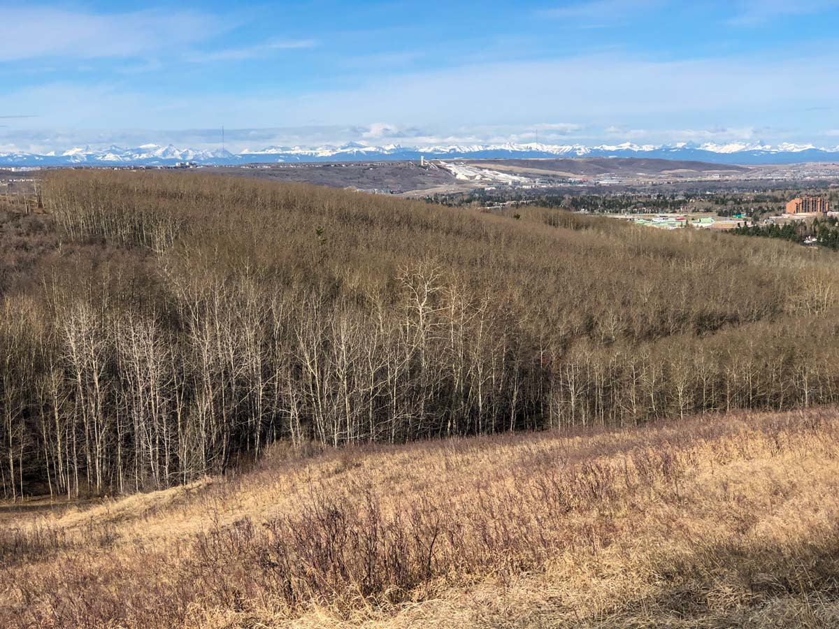
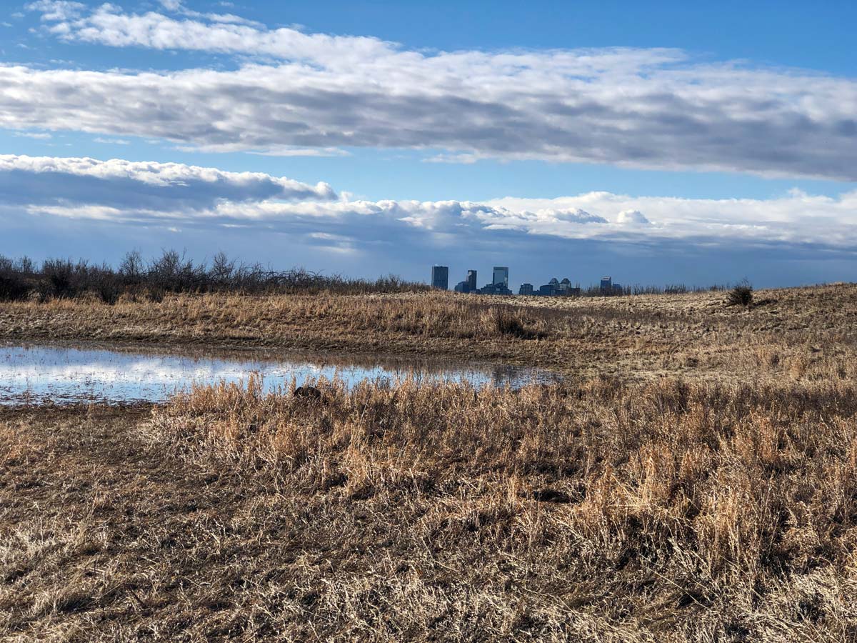
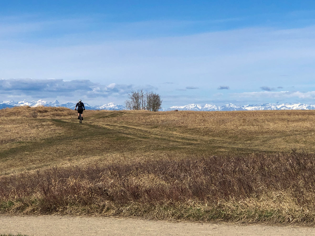
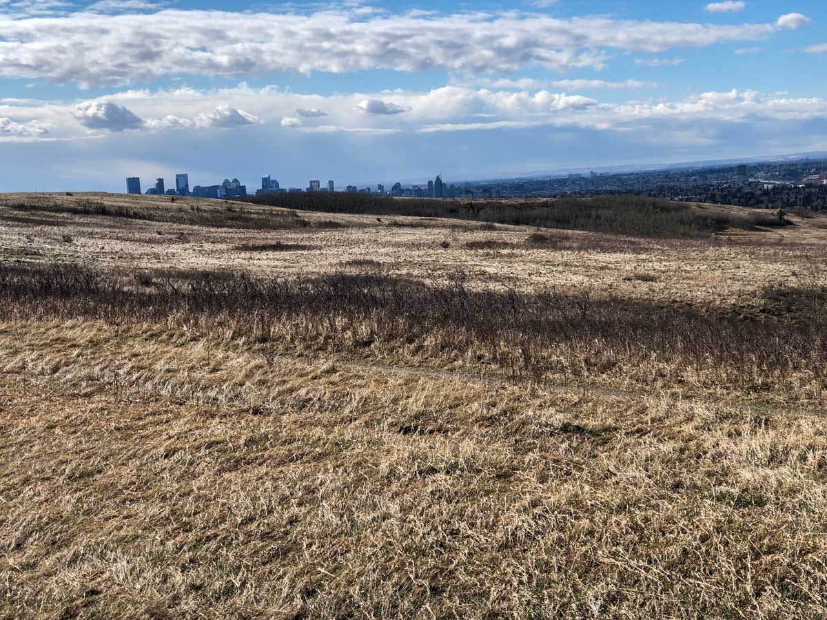
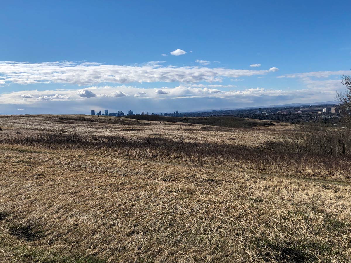
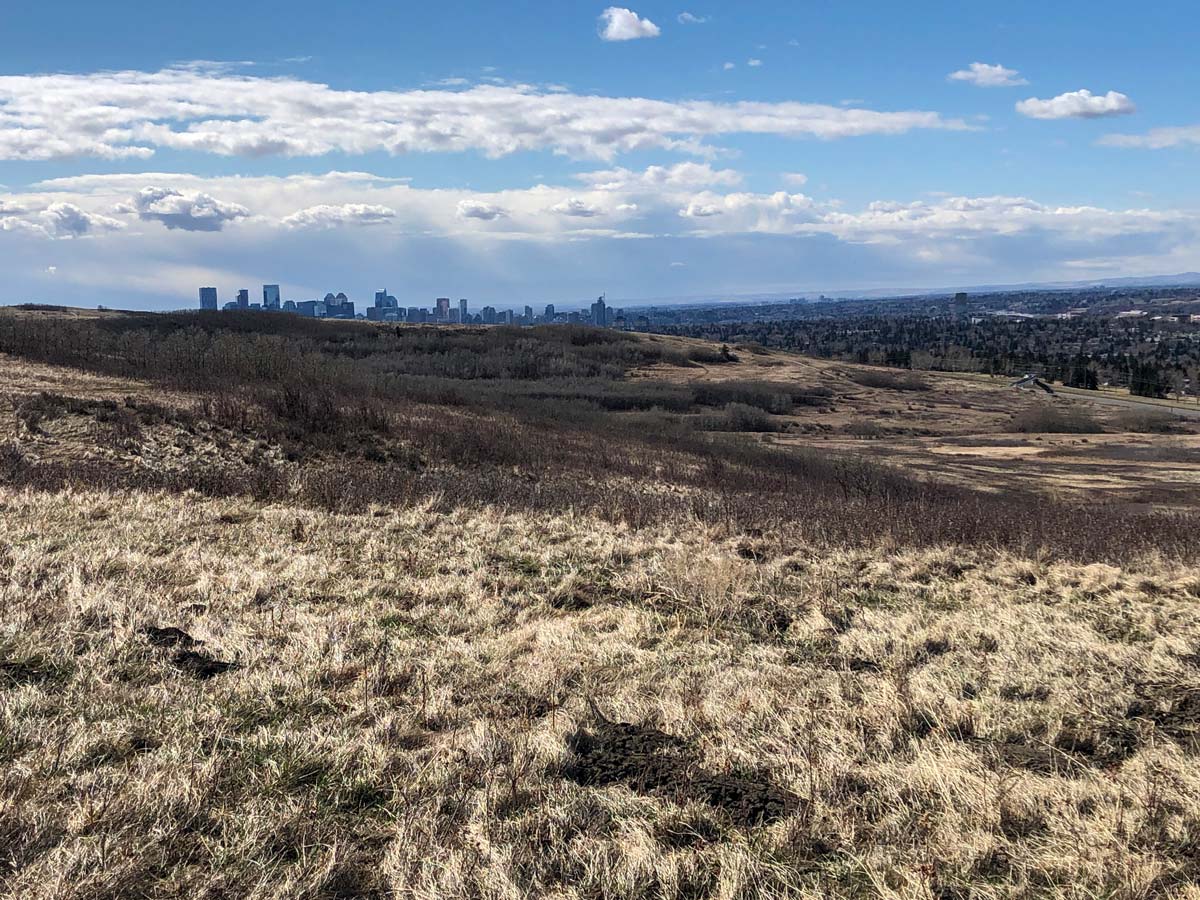
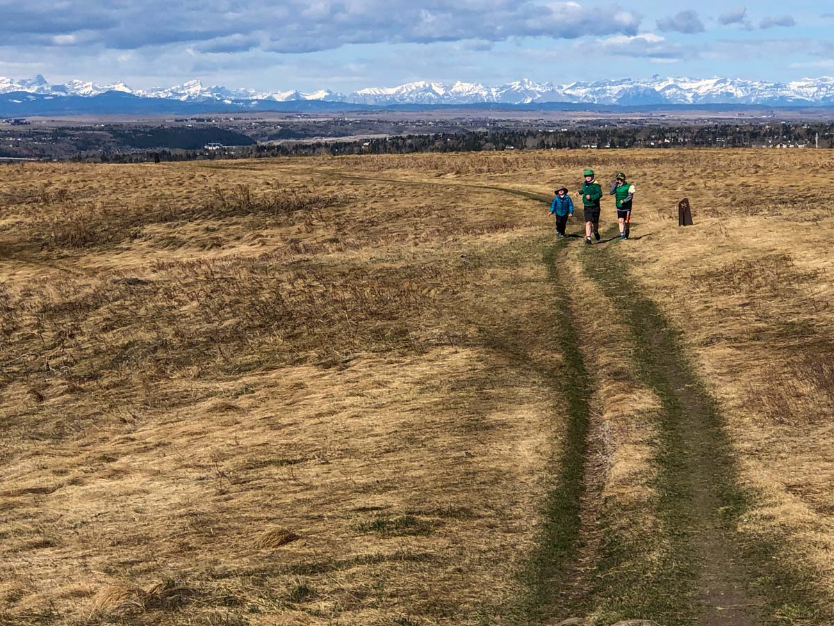
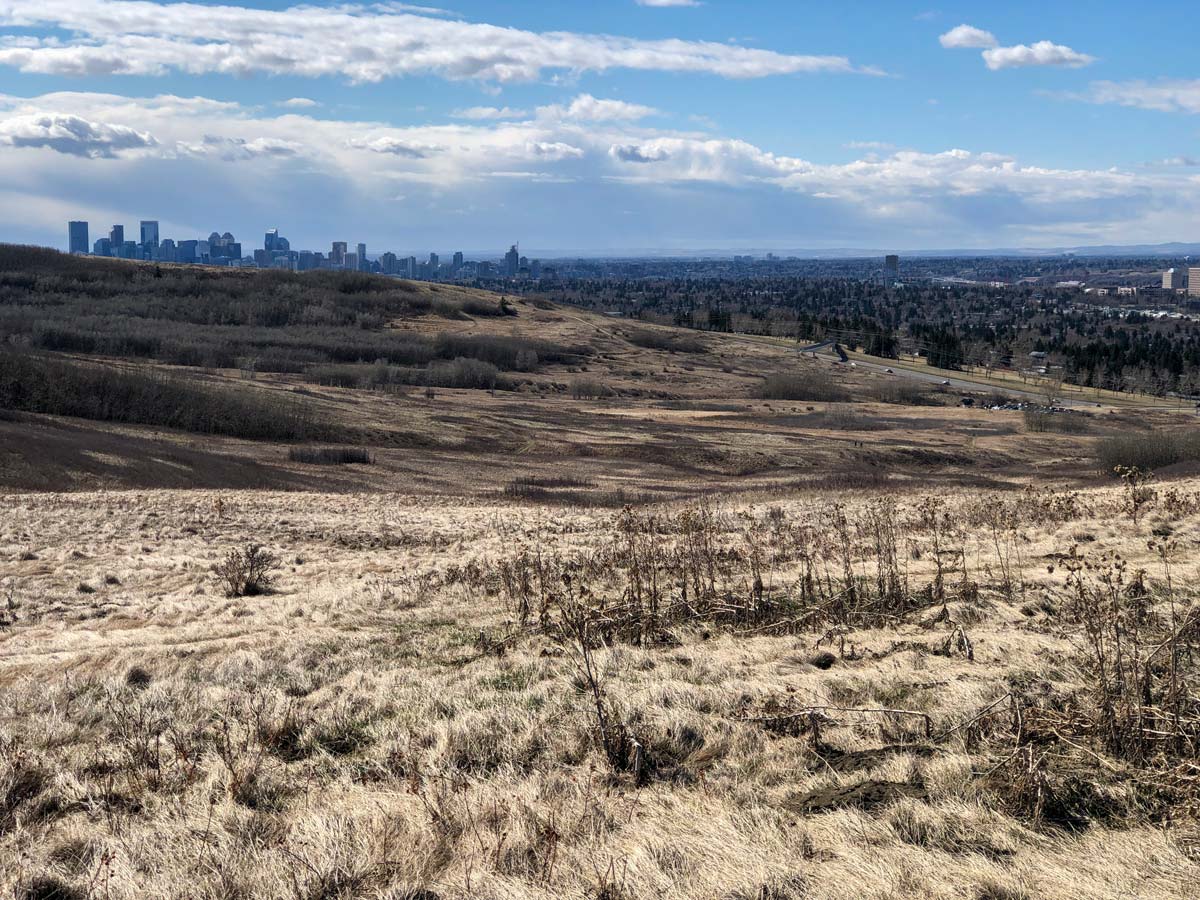
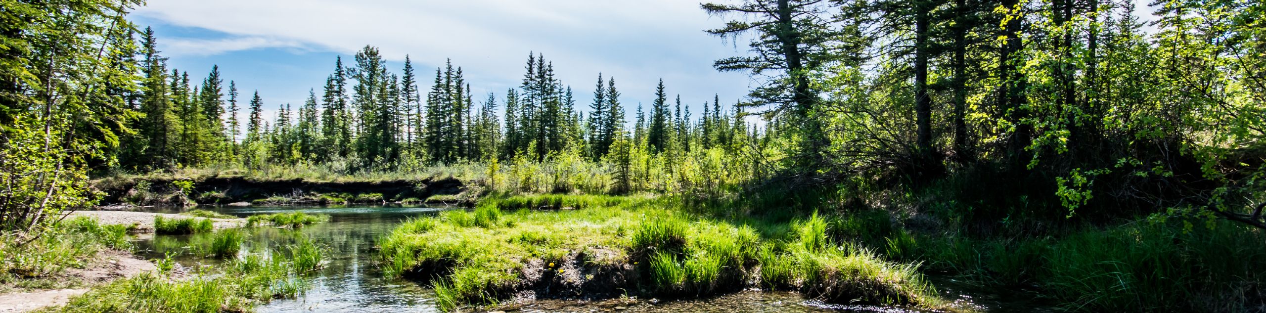
The walking paths of Calgary’s Nose Hill Park will reward you with panoramic views of downtown Calgary, the Prairies, and the Rocky Mountains, but don’t forget to take time to appreciate the beauty of the rough Fescue grassland on your way up!
Getting there
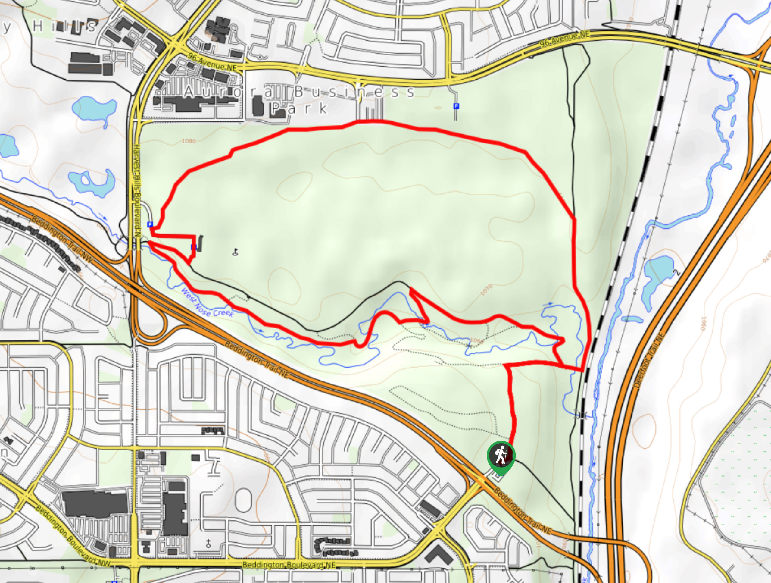
From downtown Calgary, keep right onto the 14 St SW/Mewata Bridge. Continue until a left turn onto John Laurie Blvd West. Then, turn right at Brisebois Dr NW into the Many Owls Valley parking lot.

About
| When to do | Year-round |
| Family friendly | Older Children only |
| Route Signage | Poor |
| Crowd Levels | Moderate |
| Route Type | Circuit |
Nose Hill
Elevation Graph
Weather
Route Description for Nose Hill
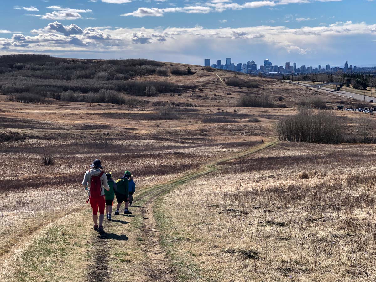
You can do this hike in Nose Hill either clockwise or counterclockwise, but our map reflects the counterclockwise route, as this allows the best views on the way down.
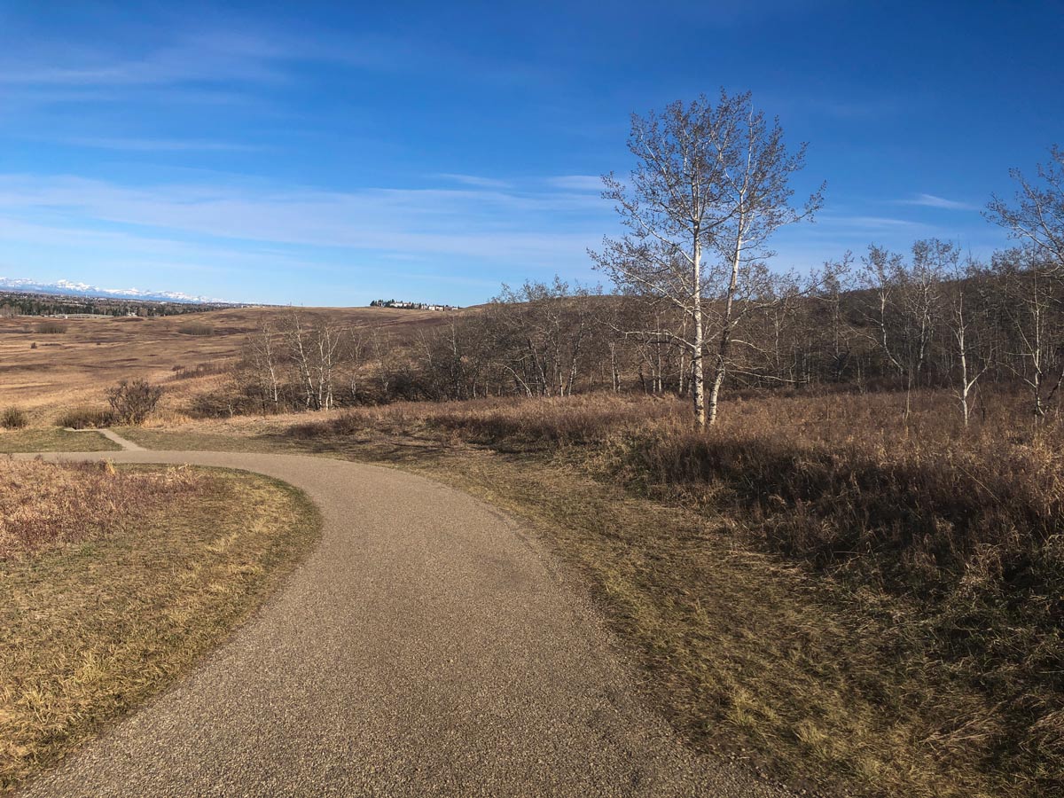
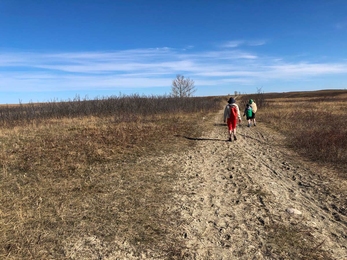
Kick off the Nose Hill hike directly in the Many Owls Valley Parking Lot. Head towards the trail at the far right end of the lot and continue on as it heads uphill through a mixture of grassland and forest. The trail has a switchback, and if you’re pushing a stroller, you’re probably huffing and puffing by now!
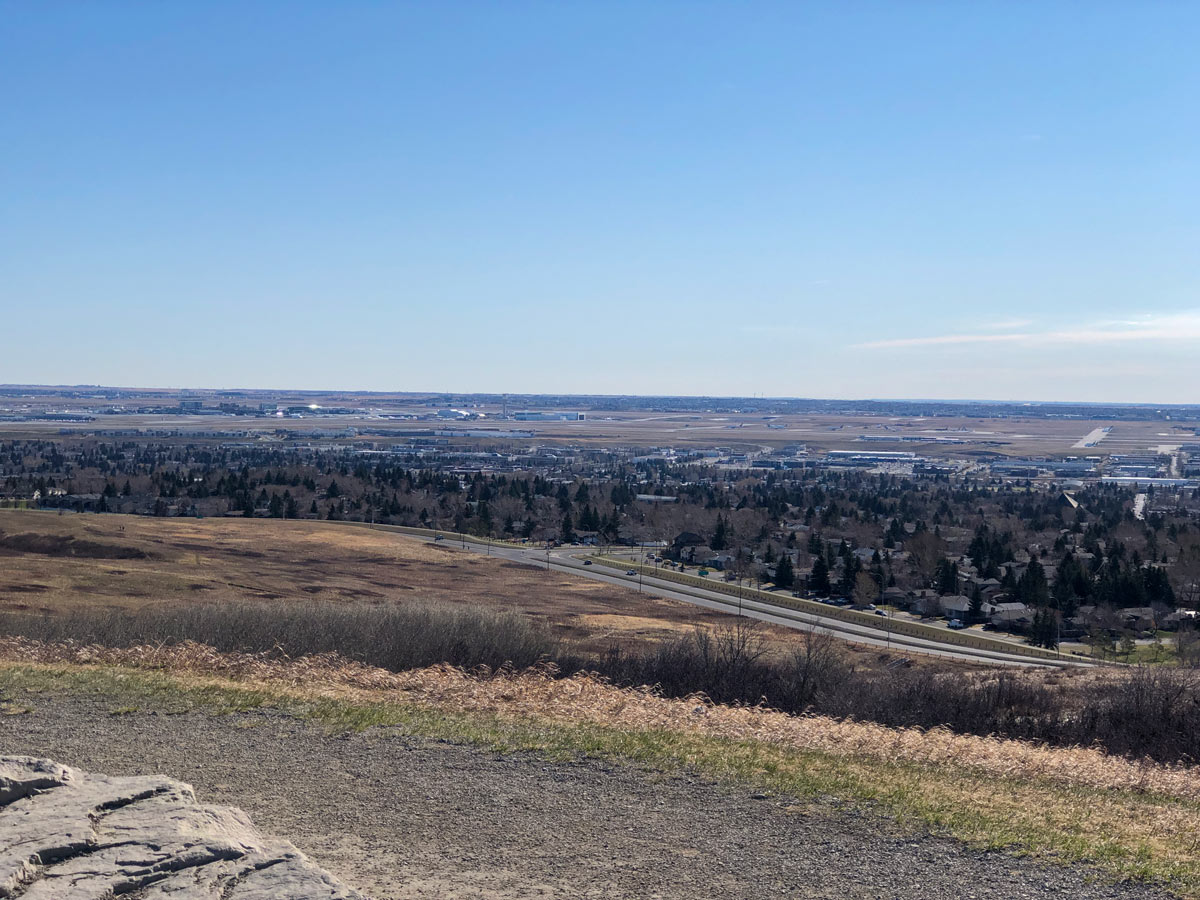
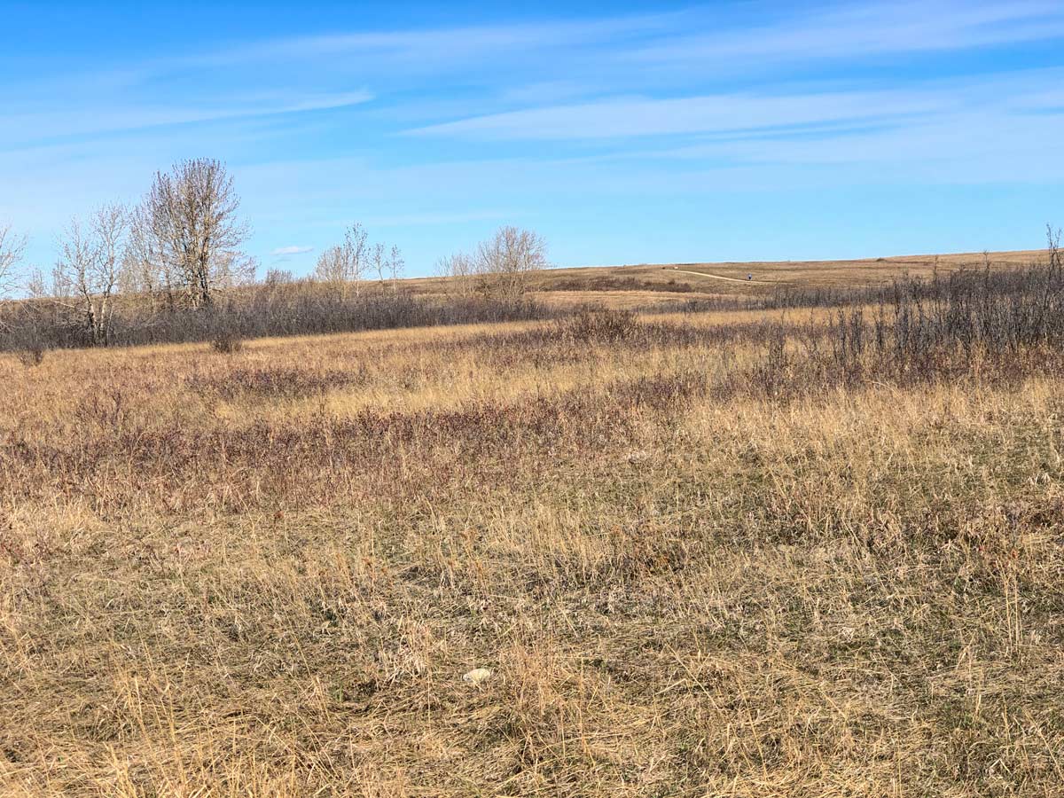
Eventually, you reach the top of this section of Nose Hill, with fine views to the south. Once on top of Nose Hill, the trail options are endless. The grassland ecosystem that surrounds you here is one of the few left on the Canadian prairies and sensitive in nature, so be sure to stick to the path.
You’ll quickly come to a 5-way junction where you take the 2nd right onto a path that heads south and then east. You’ll come to a 4-way junction 0.9mi from the car- here, go left and follow the trail. Then, at the next 4-way junction, go left and follow the trail as heads NE before arriving at another 4-way junction (1.8mi from the car), where you go left and head north.
You’ll follow this trail north for 0.6mi, then head left (west) to follow a new path 0.9mi across the center of Nose Hill. As you get nearer to the western edge of Nose Hill, you’ll see several paths that go back down. We like the last path, which takes you down a minor ridge with great views. In your final stretch, keep a trained eye on the tall grasses where deer and coyotes can often be spotted roaming. Or, look up towards the clouds and if you’re lucky, you’ll see a Swainson’s Hawk pass by overhead.
Before you know it, you’re back in the parking lot.
Insider Hints
Nose Hill is beautiful, and while we usually start at the Many Owls Valley Parking lot, each parking area gives you access to different trails. This means that each return trip can be a new adventure.
The road is mostly paved or a wide path, and stroller-friendly for families.
Right across the road is the Brentwood Area Off-Leash Dog Park in case you’re bringing a fury friend.
It is not uncommon to see a coyote along the path. Please note, coyotes are generally not a threat to people but should be treated with respect. Never approach or feed a coyote and keep your dogs on leash along the path for their safety.

Similar hikes to the Nose Hill hike
Nose Creek Park Loop
The short and easy Nose Creek Park Loop Trail is a good trail for families looking for fresh air. This…
Griffith Woods Perimeter Loop
Griffith Woods Park is located at the southwest edge of the city, making it feel like you have completely escaped.…
Eagle Lake Trail
The hike to Eagle Lake is a great flat and easy trail to a remote lake. Eagle Lake is just…
Coll A. 4 years ago
The trail has tall grass wherein a deer or coyotes can be spotted while roaming. The trail is paved or a wide path, and stroller-friendly for families. Would recommend it to everyone.
lavenderheaven 4 years ago
This hike features unique slopes and grasslands. The trail was exposed to elements, it could get windy at times too.
Ewen P. 4 years ago
Fescue grassland was beautiful. It took me 8,950 steps to complete this hike. Loving my new smartwatch a little more.
Christopher Trujillo 4 years ago
The hiking trails are well maintained and have many options for a gentle walk. It's great for intimate short walks.
Nigel F. 4 years ago
It was a good area for strolling. I had so much fun looking around and admiring the surroundings.
Artemis H. 4 years ago
Very easy. Took us 2 hours to complete the circuit.
Atlanta R. 4 years ago
Lovely views. Very dramatic in the morning. The weather changed rapidly for us and I am glad we were prepared.
Emma Tree 5 years ago
Great place to go for a walk or even a trail run! Huge area with lots of paths. And you may get lucky and see some deers too.
Paul D. 5 years ago
One of my favorite places for a relaxing walk. It is the perfect place to escape the bustling city life.
Jeremy R. 5 years ago
I love this place! Great walking and biking with paved or gravel trails. Amazing views of the river and mountains. They have a few picnic tables and a small playground. Perfect walk with friends.