The Cateran Trail: Alyth to Blairgowrie
View Photos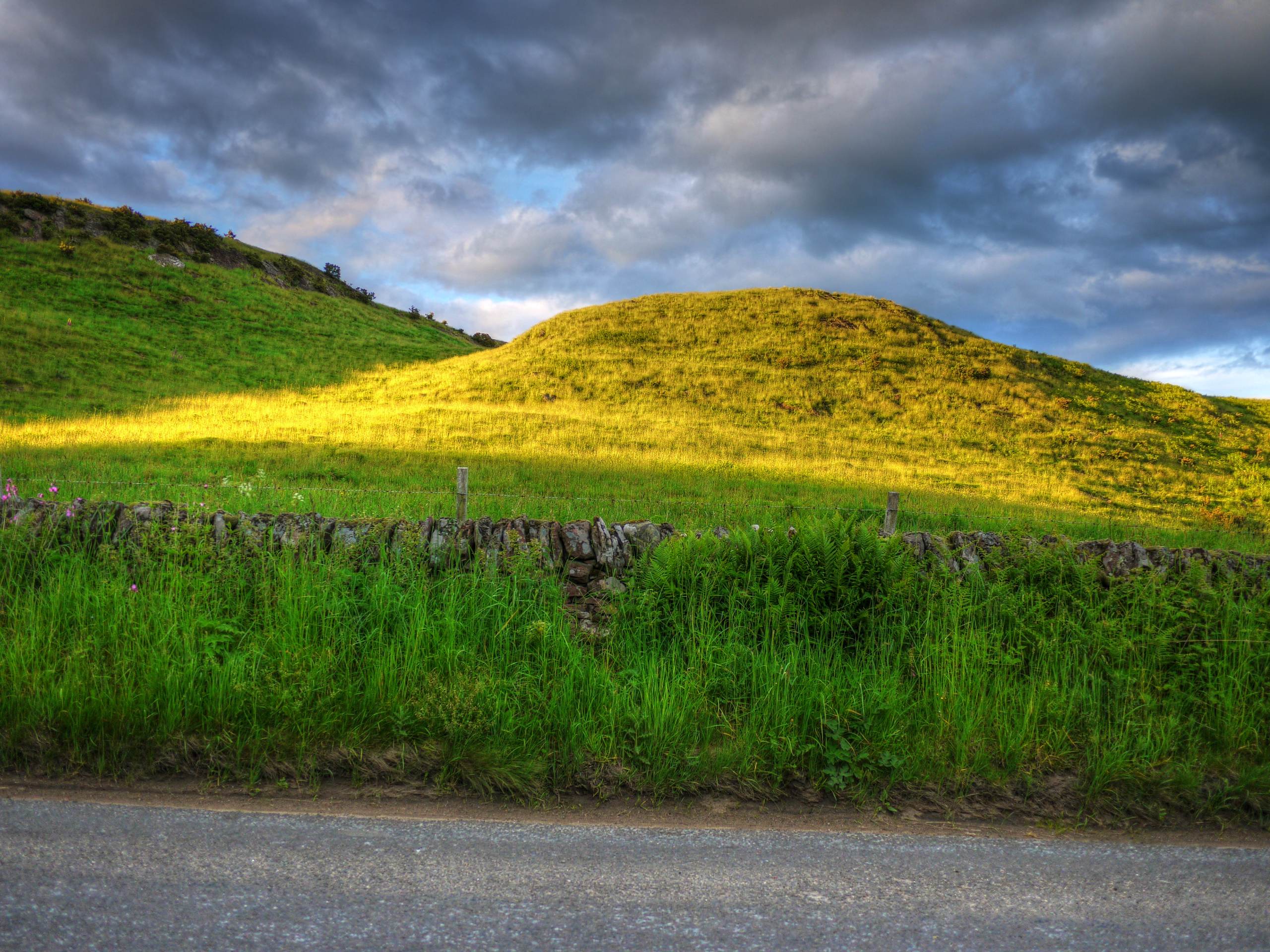
The Cateran Trail: Alyth to Blairgowrie
Difficulty Rating:
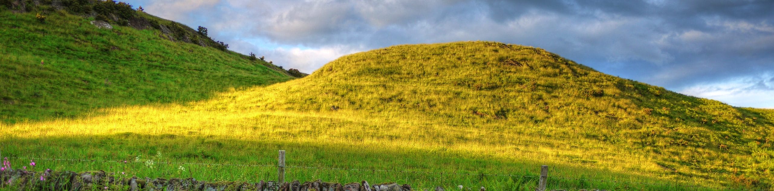
The Cateran Trail: Alyth to Blairgowrie comprises the 16.3mi final stage of the full 64.0mi Cateran Trail. The scenic route leads through the rolling hills found north of Alyth and continues through the peaceful countryside to the Bridge of Cally. Upon completing the route in Blairgowrie, there are several options for cozy accommodations and inviting places to grab a bite. If opting to enjoy this route as a stand-alone walk, a great option is to park in Alyth and return from Blairgowrie by public bus at the end of the walk or the reverse.
Getting there
To get to The Cateran Trail: Alyth to Blairgowrie from Dundee, take Meadowside to Victoria Rd and continue 0.2mi. Then, take A923 and B954 for 17.0mi to High St in Alyth. Turn left onto High St to reach the centre of Alyth where the walk begins.

About
| When to do | Year-Round |
| Backcountry Campsites | Wild Camping |
| Pets allowed | Yes |
| Family friendly | No |
| Route Signage | Average |
| Crowd Levels | Moderate |
| Route Type | One Way |
The Cateran Trail: Alyth to Blairgowrie
Elevation Graph
Weather
Alyth to Blairgowrie Trail Description
The Cateran Trail: Alyth to Blairgowrie is the stunningly scenic final leg of the full long-distance Cateran Trail. Much like the rest of the Cateran Trail, this walk is well waymarked and unfolds primarily on tracks and minor roads. Sections of this stage are bound to be quite muddy, so waterproof footwear is a good idea.
Completing the entire Cateran Trail is a major feat, but the Alyth to Blairgowrie is also a superb walk when completed on its own. The route climbs over the rolling hills of Alyth before taking you through the gorgeous, peaceful countryside of Perth and Kinross, leading you to the lovely burgh of Blairgowrie, where the walk concludes. Blairgowrie features several charming B & Bs and a sizeable collection of shops and restaurants that you can enjoy following the walk. Upon reaching the Bridge of Cally, the final stretch of the route retraces the first stage to head over the moors to reach Blairgowrie.
To begin the walk, set out from the centre of Alyth to make your way up Commercial Street and Toutie street to pick up the Cateran Trail. To do this, you’ll need to turn left onto High Street. Further on, turn right onto Bamff Wynd and set out to pass the farm buildings found at West Quarter. Join the track that heads uphill and enjoy the views of Alyth that open at your back as you climb. A marked path will soon appear, and you’ll continue uphill on this.
Upon reaching the top of the hill, you’ll spot a gate found just before a sprinkling of pines. Take the path found on the fence’s left side and continue until the path splits. When it splits, maintain a straight course and follow the marker post that signals to head towards the wind turbines dancing in the distance. The route eventually heads downhill, leading you to a minor road where you’ll want to keep an eye out for “Bridge of Cally” signs.
Continue on a lane that heads between rows of hedges and cross a stile. Once you reach a gate, continue straight through an area of Beech trees and follow the waymarked signs that mark a path on the left. A track is soon reached, which you’ll turn right on to pass on the left side of Bamff House. At the house’s rear, make a right to join the track to Home Farm.
When a road is reached, turn right along it and take a left at the next junction. Signs for the Cateran Trail will continue to guide you as you eventually join a farm track and continue through the rolling countryside. A kissing gate made of wood marks your entry into a section that is bound to be boggy, so take care with your footing from this point. Several gate crossings lead to a lofty ridge featuring stunning views over the glen. After another kissing gate, the path emerges into a track and leads to a surfaced road up ahead. After turning right onto the surfaced road, you’ll head past the Netherton houses and across the Black Water on a bridge. At the A93, take a left and continue on the pavement towards the Bridge of Cally. Head across the bridge after passing a hotel and a shop and join a track on the other side, which leads into a lovely forested area. At the junction up ahead, you’ll rejoin the Cateran Trail’s outward stage, turning left to continue on this track.
The views continue to get better and better as the route climbs and leads first through woodlands and later moorland. At all junctions ahead, maintain a straight course and continue to follow the waymarkers.
Eventually, a road to Middleton is joined, leading down a bridge followed by an uphill climb to pass West Gormack. The waymarked path continues to lead you through the tranquil countryside and past the Lornty Farm found at the bottom of a hill. At this point, turn right to join a track that leads past Bracklinn Mill and continue on a pleasant riverside stretch, maintaining the higher track (Cateran Trail). The track leads downstream to the point where wooden steps are reached. Climb the steps (signed) and continue on the track to reach the Riverside Car Park, where the walk concludes.
See the full itinerary of The Cateran Trail:
- The Cateran Trail: Blairgowrie to Kirkmichael
- The Cateran Trail: Kirkmichael to Spittal of Glenshee
- The Cateran Trail: Spittal of Glenshee to Kirkton of Glenisla
- The Cateran Trail: Kirkton of Glenisla to Alyth
- The Cateran Trail: Alyth to Blairgowrie
Other Great Walks in Cairngorms National Park
Check out our trail guides to Ben Magdui, Loch Muick, Ben Vrackie, Loch an Eilein, and the Mount Keen Walk. Or see all of our Cairngorms walks.
Similar hikes to the The Cateran Trail: Alyth to Blairgowrie hike

Glen Banvie Trail and Blair Castle Walk
The Glen Banvie Trail and Blair Castle Walk is a great adventure in Cairngorms National Park that takes in the…

Beinn Udlamain Munro and Sgairneach Mhòr Walk
The Beinn Udlamain Munro and Sgairneach Mhòr Walk is a rugged and exciting journey in Cairngorms National Park that will…

Loch an Eilein, Loch Gamhna, Old Logging Way Loop
The Loch an Eilein, Loch Gamhna, Old Logging Way Loop is a wonderful walking trail in Cairngorms National Park that…
Comments