Carn na Caim and A’ Bhuidheanach Bheag Munro Walk
View Photos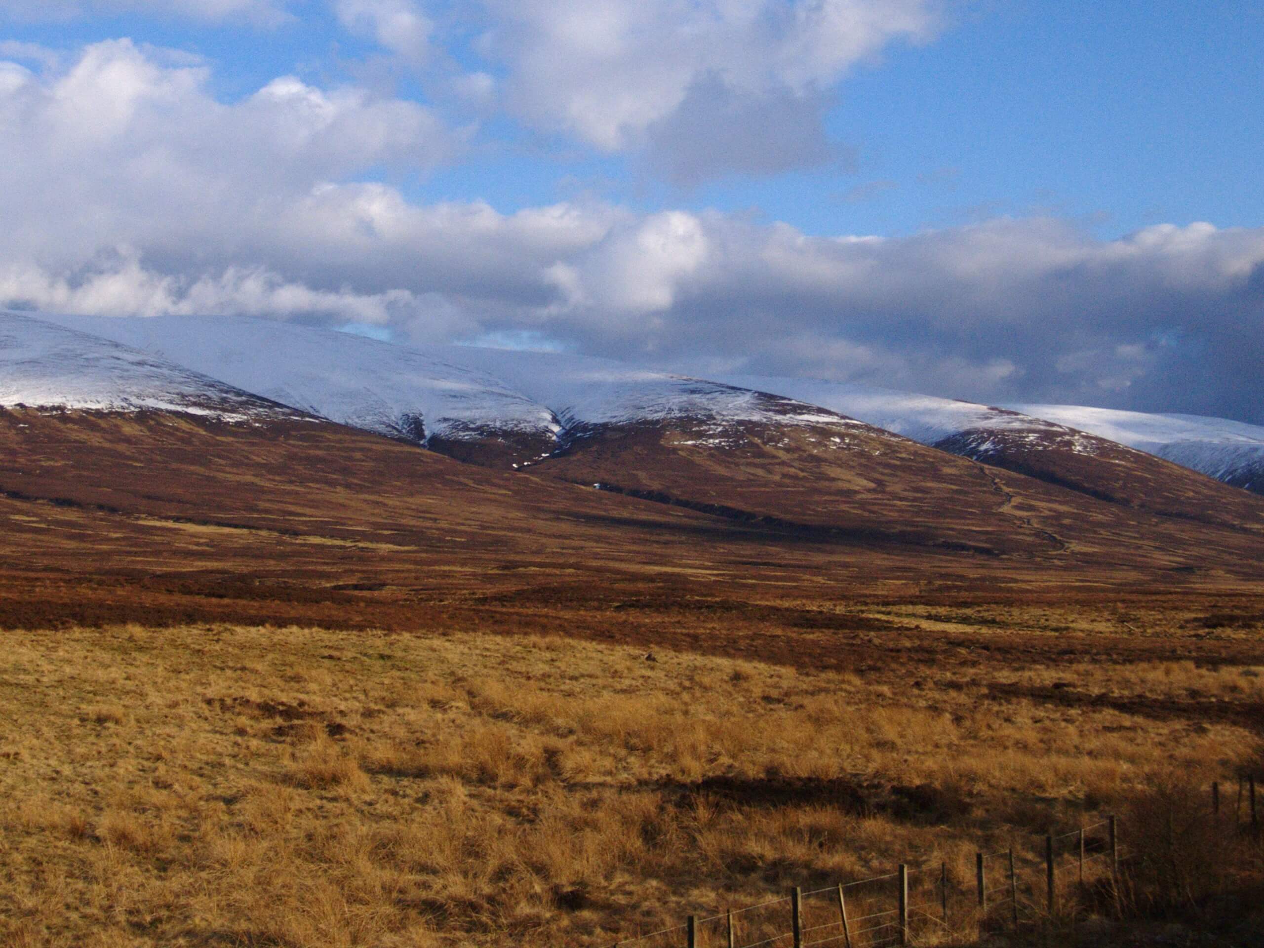
Carn na Caim and A’ Bhuidheanach Bheag Munro Walk
Difficulty Rating:
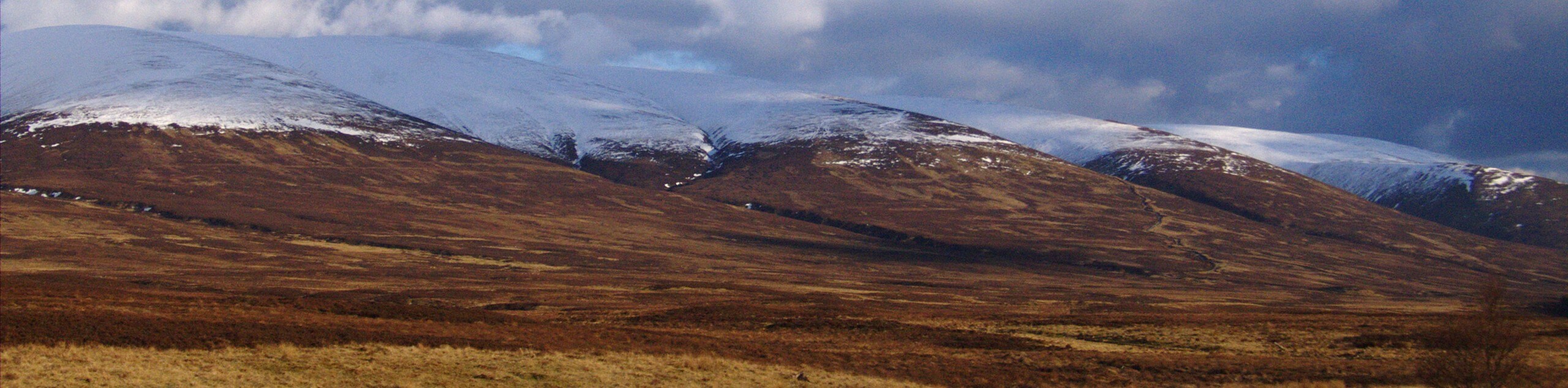
The Carn na Caim and A’ Bhuiheanach Bheag Munro Walk is a rough and challenging adventure in Cairngorms National Park that will take you up to the top of two peaks with views of the surrounding terrain. While out walking the trail, you will traverse the boggy landscape of the moor to reach the summit of Carn na Caim, before heading south to the top of A’ Bhuiheanach Bheag Munro Walk. There is certainly a fair amount of rugged terrain along this route, so be sure to wear proper walking boots to safely traverse the trail.
Getting there
The trailhead for the Carn na Caim and A’ Bhuiheanach Bheag Munro Walk can be found at the car park along the A9, just 1.9mi south of Dalwhinnie.

About
| Backcountry Campground | No |
| When to do | Year-Round |
| Pets allowed | Yes - On Leash |
| Family friendly | No |
| Route Signage | Average |
| Crowd Levels | Low |
| Route Type | Out and back |
Carn na Caim and A’ Bhuidheanach Bheag Munro Walk
Elevation Graph
Weather
Carn na Caim and A’ Bhuidheanach Bheag Munro Walk Description
If you have been searching for a long and rugged adventure that will lead you through some boggy terrain to reach summit vantage points with views of Cairngorms National Park, then the Carn na Caim and A’ Bhuiheanach Bheag Munro Walk will be a great option to do so.
Setting out from the trailhead, you will head north along A9 for a short distance, before picking up the footpath branching off to the right. Here, you will climb uphill to the southeast across the moorland terrain, keeping left along the trail to eventually reach the summit of Carn na Caim.
After taking in the scenic views, you will head to the southwest along this elevated position until you arrive at the nearby peak of A’ Bhuiheanach Bheag Munro, where you will have a similar sightline as you did from the previous summit. From here, you will backtrack to the junction and follow the path downhill to arrive back at the trailhead where you began your walk.
Similar hikes to the Carn na Caim and A’ Bhuidheanach Bheag Munro Walk hike

Glen Banvie Trail and Blair Castle Walk
The Glen Banvie Trail and Blair Castle Walk is a great adventure in Cairngorms National Park that takes in the…

Beinn Udlamain Munro and Sgairneach Mhòr Walk
The Beinn Udlamain Munro and Sgairneach Mhòr Walk is a rugged and exciting journey in Cairngorms National Park that will…

Loch an Eilein, Loch Gamhna, Old Logging Way Loop
The Loch an Eilein, Loch Gamhna, Old Logging Way Loop is a wonderful walking trail in Cairngorms National Park that…
Comments