Burn O' Vat and Culblean Circular Walk
View Photos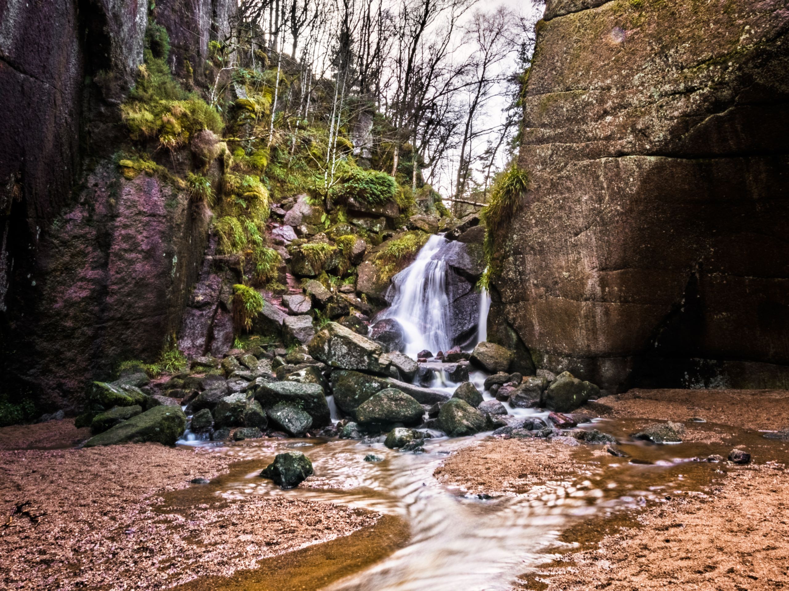
Burn O' Vat and Culblean Circular Walk
Difficulty Rating:
The Burn O’ Vat and Culblean Circular Walk is a lovely 4.0mi forest trail that invites you to enjoy the beauty of the Muir of Dinnet National Nature Reserve in Aboyne, Scotland. Pinewoods flank the trail that leads to the impressive Burn O’ Vat, a deep geological bowl that can be explored up-close via stepping stones. The walk is great for adults with older children who can manage the stone steps throughout the Burn O’Vat.
Getting there
To get to the Burn O’ Vat and Culblean Circular Walk from nearby Dinnet, head southwest on Ballater Rd/Firmounth Rd/A93 heading towards B9119. Continue for 2.3mi, then turn right onto B9119 driving 1.4mi to reach the car park where the walk begins.

About
| When to do | Year-round access |
| Backcountry Campsites | Ballater Caravan Park |
| Pets allowed | Yes |
| Family friendly | Older Children only |
| Route Signage | Average |
| Crowd Levels | Moderate |
| Route Type | Circuit |
Burn O' Vat and Culblean Circular Walk
Elevation Graph
Weather
Burn O' Vat and Culblean Circular Walk Description
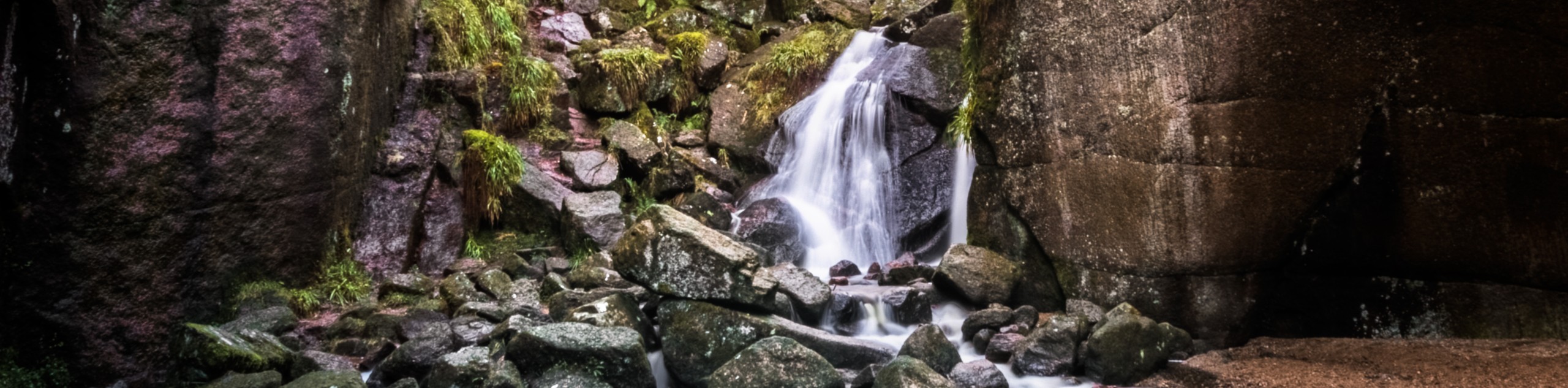
The Burn O’ Vat and Culblean Circular Walk in Aboyne, Scotland, is a delightful 4.0mi forest trail that takes in the fascinating Burn O’ Vat geological formation, also known simply as “The Vat.” Stepping stones are used to access the interior of the deep vat, so proper walking shoes are recommended for those wishing to explore it.
The circular path unfolds through gorgeous pinewoods throughout the stunning Muir of Dinnet National Nature Reserve. The scenery is awe-inspiring, and those eager for a good dose of nature are certain to find it here. The Burn O’ Vat, formed over 12,000 years ago, is a glacial pothole carved out by nature and is a fascinating site to explore along the trail.
Set out from the Burn O’ Vat car park to begin the walk, passing by the visitors centre (which you can check out for more info) and following waymarkers marked with the Vat symbol. Cross a green wooden bridge and continue the path upstream before crossing a second bridge, which leads you to turn right. Large rocks mark the entrance to the vat and although it doesn’t look much like an entrance, rest assured you’re on the right track!
Follow the stream to make your way into the vat, hugging the right side as you navigate the stepping stones poking up from the water. Remain vigilant with your footing and use the water levels to determine whether or not you’re able to pass through the initial section of the entrance. If water levels are too high, don’t attempt to enter The Vat.
Explore the area at your leisure, taking in the fascinating geological formations, then return via the same path, headed back towards the second bridge.
Cross the bridge after turning left and pursue the steps up the path that unfolds opposite. You’ll now be heading uphill and will soon turn left at the junction, leading you to a second junction. At the second junction, ignore the signs for the waymarked route (leading back to the car park) and instead turn left, continuing to climb up into the trees. You’ll soon find yourself high above the Burn O’Vat, which you’ll spot beneath you on the left. Once the top of the climb is reached, turn right and keep on the grassy track which opens to an area of heather and trees.
The track heads downhill through lovely pinewoods leading to a valley that makes way for a larger track. Turn right and continue to follow the track downhill until you reach the main road. Head across the road and navigate a gap in the wall found on the far side before making a right onto a grassier path that runs parallel to the road. Enjoy a scenic meander through the woods and spot Loch Davan looking peaceful on your left.
Continue through the woods until you reach another junction, then turn right using the yellow cross markers/ blue duck as your guide. You’ll soon emerge into a turning area where you’ll cross to pick up the path that unfolds next to the road. At another junction, turn right and follow signs to return to the car park where the walk began.
Trail Highlights
Burn O’Vat
The Burn O’ Vat is a geological pothole located near Dinnet in Aberdeenshire, Scotland. 16,000 years ago, the area was carpeted in a glacial sheet, and 2,000 years later, due to warming, the sheet proceeded to melt. The debris from the melt formed what is known today as the Burn O’ Vat, which has become a popular site for human exploration.
Other Great Walks in Cairngorms National Park
Check out our trail guides to Ben Magdui, Loch Muick, Ben Vrackie, Loch an Eilein, and the Mount Keen Walk. Or see all of our Cairngorms walks.
Insider Hints
The Burn O’ Vat Visitor Centre is open from 9am to 5pm between Easter and October and 10am to 4pm during the rest of the year. More info here: https://www.nature.scot/enjoying-outdoors/scotlands-national-nature-reserves/muir-dinnet-nnr/muir-dinnet-nnr-visiting-reserve
You can access toilets at the Burn O’ Vat Visitor Centre.
There are two picnic areas located nearby the Visitor Centre, perfect for enjoying a packed lunch either before or after the walk.
The Muir of Dinnet National Nature Reserve, where the walk unfolds, is known as one of Scotland’s best places to spot wildlife, so keep an eye out for an array of birds and wildlife on the trail.
Similar hikes to the Burn O' Vat and Culblean Circular Walk hike

Loch an Eilein, Loch Gamhna, Old Logging Way Loop
The Loch an Eilein, Loch Gamhna, Old Logging Way Loop is a wonderful walking trail in Cairngorms National Park that…
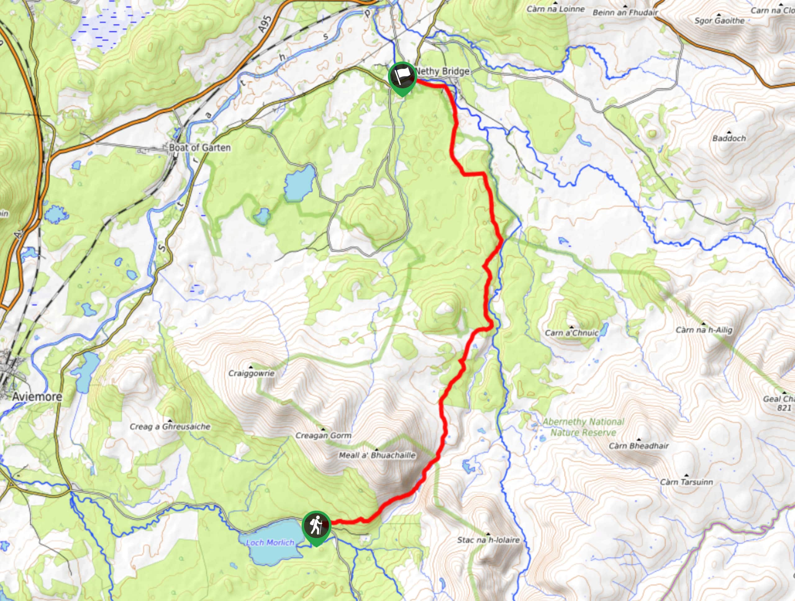
Loch Morlich to Nethy Bridge Walk
The Loch Morlich to Nethy Bridge Walk is a fun one-way trail in Cairngorms National Park that will lead you…
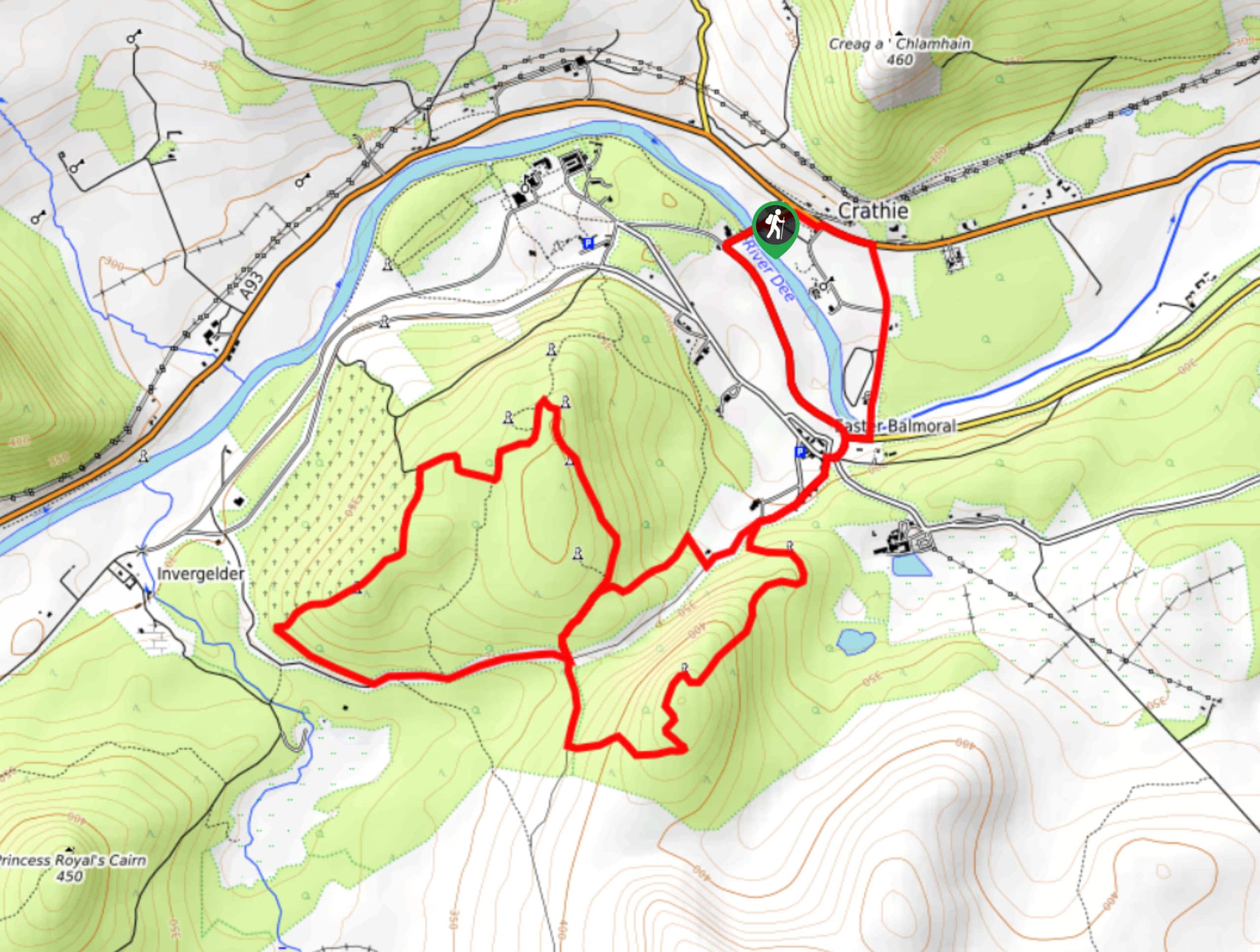
Crathie, Easter Balmoral and Cairns Circular Walk
The Crathie, Easter Balmoral, and Cairns Circular is a wonderful adventure in Cairngorms National Park that will see you explore…
Comments