


Volcano Ridge hike
View PhotosVolcano Ridge hike
Difficulty Rating:
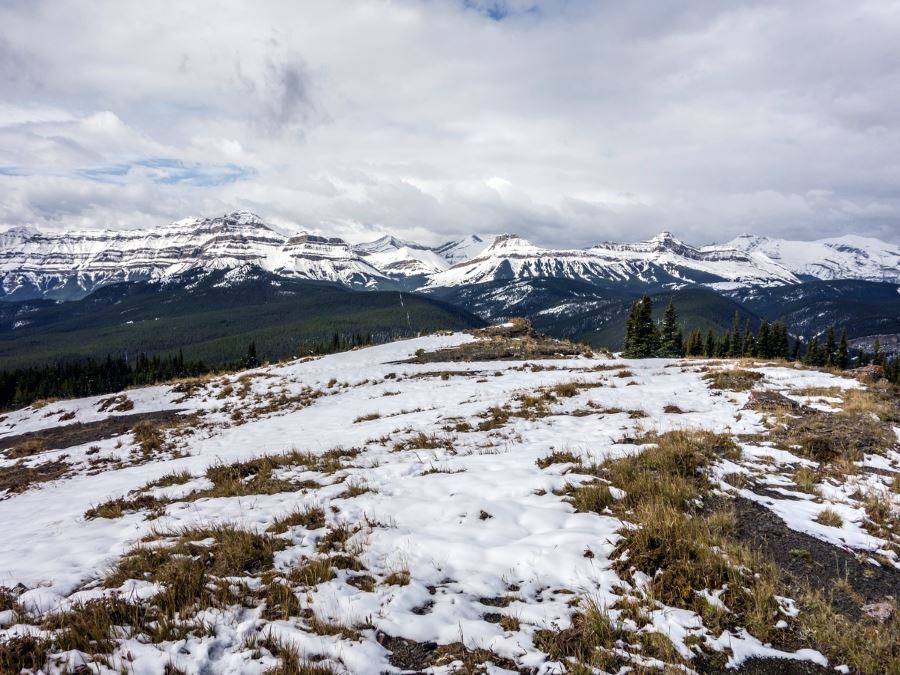
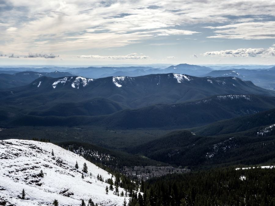
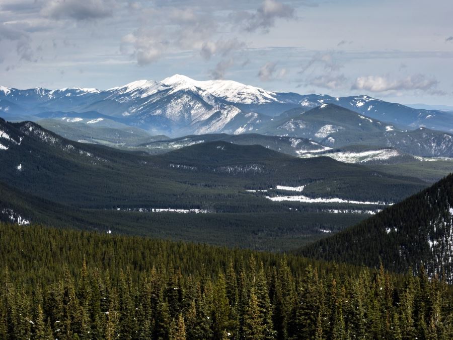
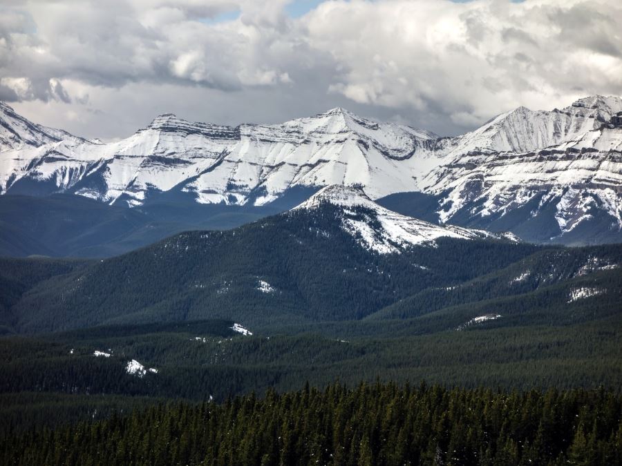
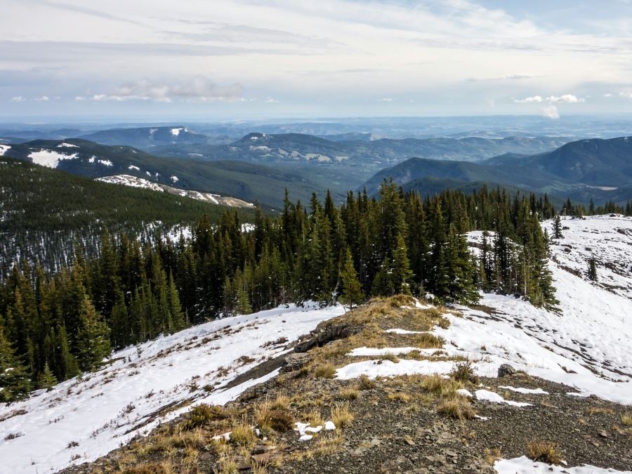
This is a relative low effort high reward hike up a grass topped foothill of the Rockies just west of turner valley. From the top we have great views as the foothills turn into the towering peaks of the Rockies.
Getting there
We start our loop from the Gorge Creek Day Use Area. Take highway 546 from Turner Valley. We will be taking a right onto the Gorge Creek Access road which is not very well signed until you are on it. The access road jets off to the right from the main road and then follows the main road in parallel for the first 0.3mi before the main road goes down a steep hill.
About
| When to do | April - October |
| Backcountry Campsites | No |
| Toilets | No |
| Family friendly | No |
| Route Signage | Poor |
| Crowd Levels | Low |
| Route Type | Circuit |
Volcano Ridge
Elevation Graph
Weather
Route Description for Volcano Ridge
This is a good hike to do early and late season when the rest of the peaks in the region are covered in snow, as due to its lower elevations you will likely find good footing.
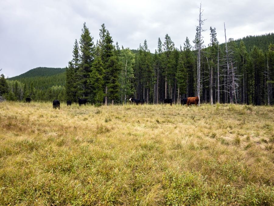
As we set out the trail will likely be very muddy, largely as a result of cows that roam freely in the area, and while it will improve after the first 0.3mi it will likely continue to have extensive muddy sections for the first 1.2mi.
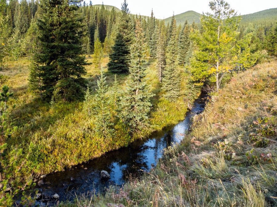
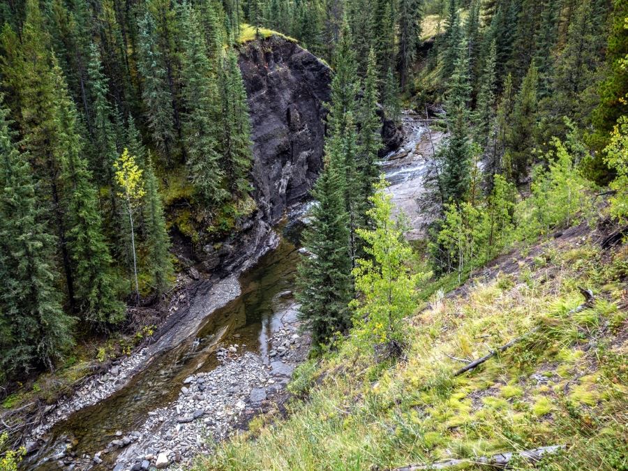
A kilometer from the parking lot you will cross a bridged creek, then pass the turnoff on the left that heads to Mount Ware, and continue straight/right towards Volcano Ridge.
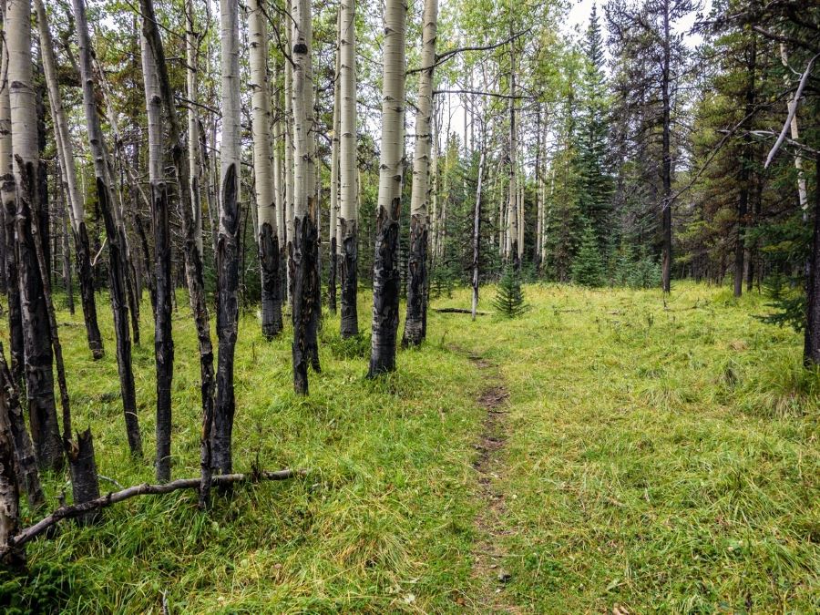
From this point you will pass through grassy meadows as you follow the same creek we just crossed. Just after we dip back into the trees you will reach a junction at the 1.2mi mark, take a left (a right will also reach the summit).
The trail will improve from this point. After a flat section we will start to gain elevation at around 2.2mi. At this point the trail network can get complicated, in case the signs have not been repaired we recommend you bring a copy of our map to follow our route.
When a old road crosses our path take a right onto it. We will follow this for just under a kilometre moving east. Near the rocky knoll a number of trails will converge, we want to take a left to gain elevation and head north. From here the rail network gets easier to follow signed as Volcano Ridge Trail. Another 3.1mi will bring us to our destination.
On the return trip you can retrace your steps, or instead when you reach the rocky knoll take the path to the left taking you east before connecting with the Gorge Link Trail back to the trail head.
Insider Hints
You can shorten the walk by doing an out and back using the western part of our loop.
At times the creek level may be high, it may be worth packing extra socks for the trip home.
Similar hikes to the Volcano Ridge hike
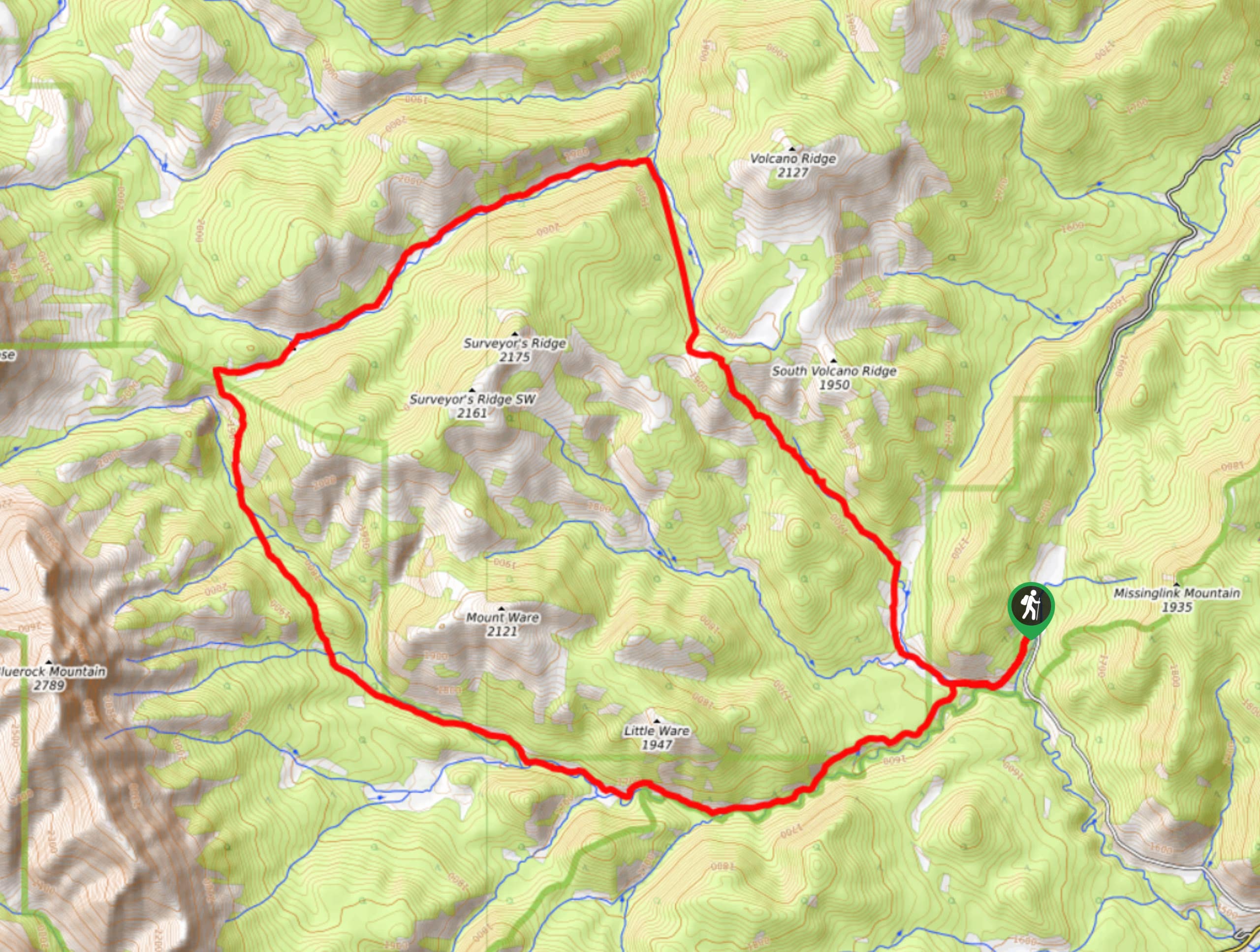
Gorge Creek Loop
Hiking the Gorge Creek Loop requires some route knowledge and a bit of extra effort as it is not as…
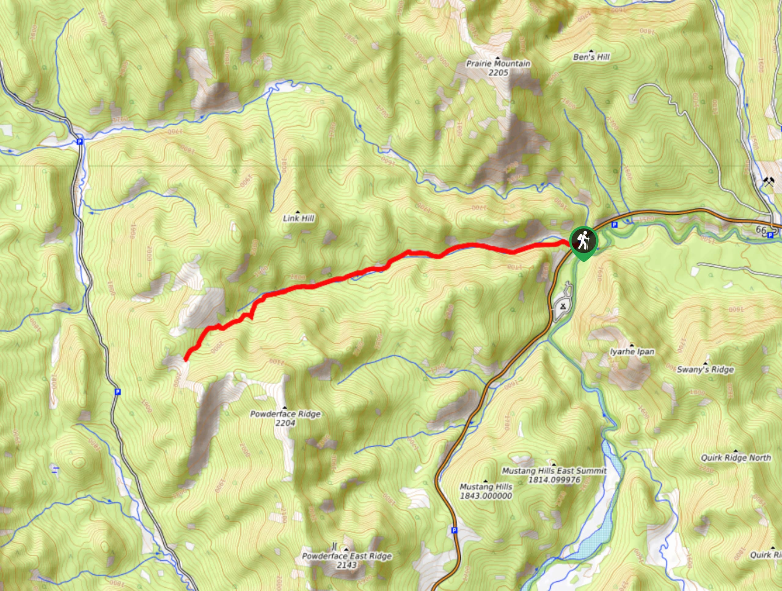
Powderface Creek Trail
The Powderface Creek trail in Kananaskis is a popular hiking, biking, and horseback trail, so be aware of traffic when…
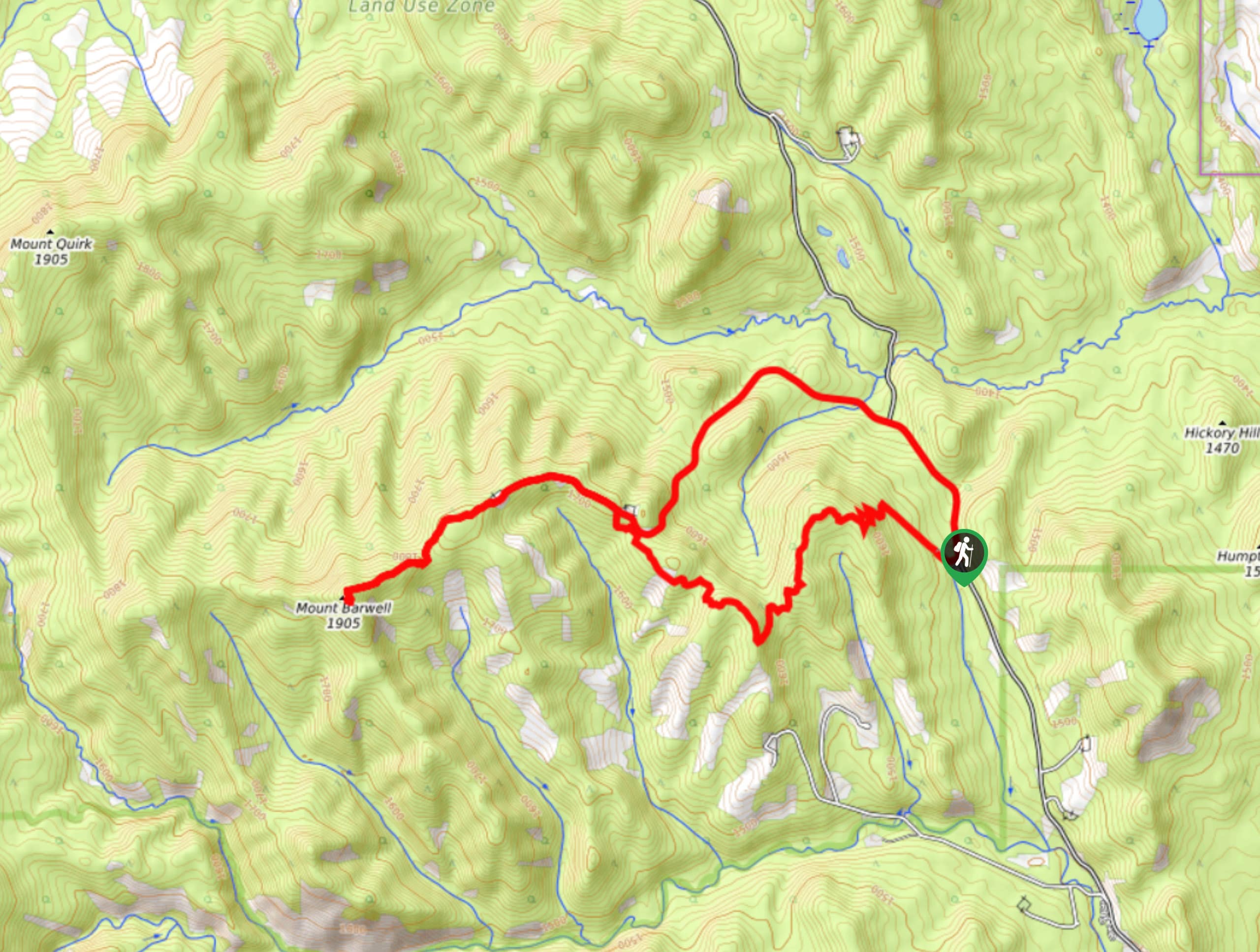
Barwell Trail
Hiking the Mount Barwell Trail is a half to full day effort that is very rewarding. With minimal crowds and…


DesireeD. 5 years ago
Gorgeous views of Rockies!
MayP 5 years ago
The creek levels were high when we visited. Good thing we carried extra socks.
oskareglq 5 years ago
It's a bit challenging because of the snow, but it's a good moderate hike!
Grant Ko. 5 years ago
Stunning scenery! First part are forest then it opens up into meadows and creeks. Absolutely beautiful!
JMC 5 years ago
The trail is reasonably well marked. A bit steep on the mountain itself but pretty flat otherwise. Bit muddy but if you have solid waterproof hiking boots you should be ok.
Sean Kater 5 years ago
Really nice experience. The meadows were so beautiful and lively, it’s the most secluded trail I've done so far.
Willow F. 5 years ago
At times the creek level may be high, so bring some spare socks. The elevation is healthy, so you will likely find good footing.
Coll A. 5 years ago
This is a relatively easy and rewarding hike. The trail takes you up a grass-topped foothill of the Rockies just west of turner valley. Amazing view of towering peaks of the Rockies.
LaylaP. 5 years ago
Fantastic views! Take your time and enjoy the scenery.
Margaret Theroux 6 years ago
Nice foothills hike, which makes it great for shoulder season. Dogs love it and it's really never busy.