


Prairie Mountain hike
View PhotosGetting there
Take Highway 66 to elbow falls. 656ft past the falls just before the winter gates there is a small parking lot on the south side of the highway.
About
| When to do | Year Round |
| Backcountry Campsites | No |
| Toilets | No |
| Family friendly | No |
| Route Signage | Poor |
| Crowd Levels | High |
| Route Type | Out and back |
Prairie Mountain
Elevation Graph
Weather
Route Description for Prairie Mountain
Leaving the parking lot, the hike starts on the right (north) side of highway 66 just before the winter gate. There are several routes up the steep hillside from the road and the first you come to is the steepest; if you’d like something more gradual just continue along the road another 30 seconds or so and you’ll see another trail.
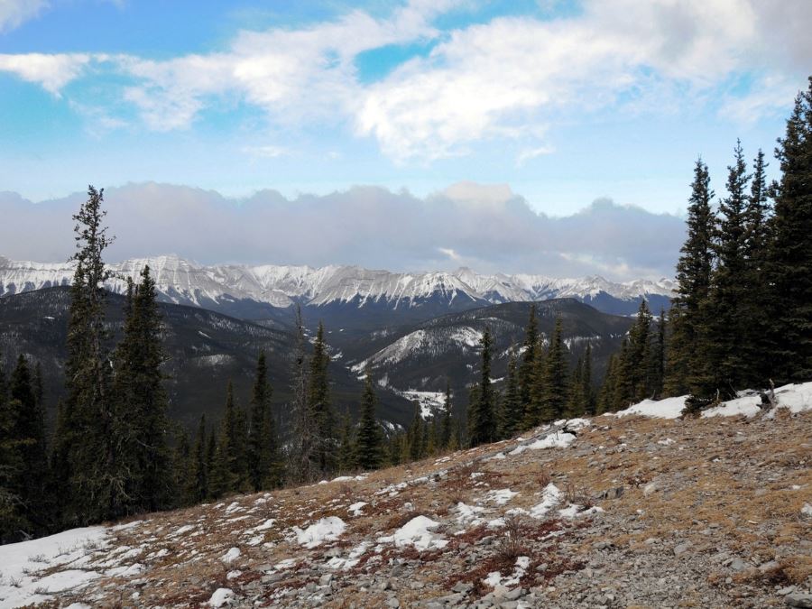
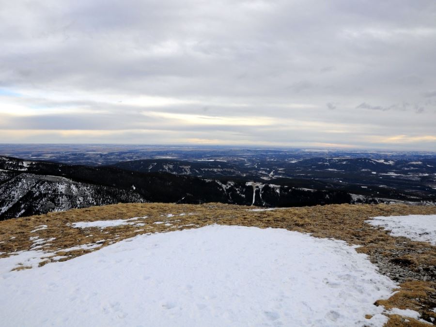
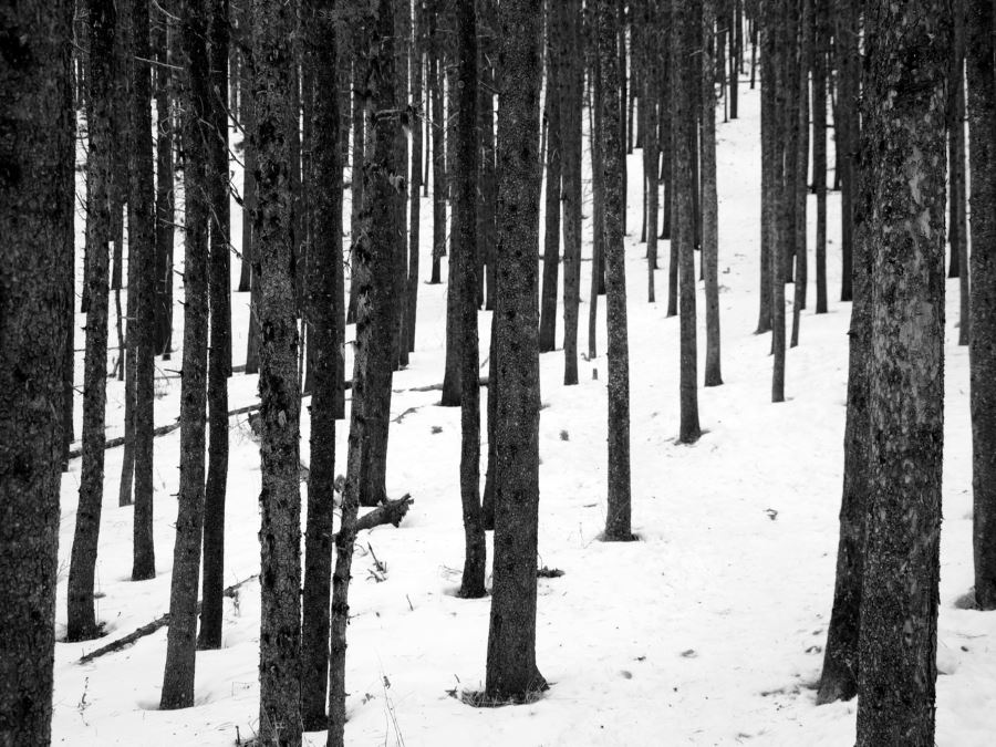
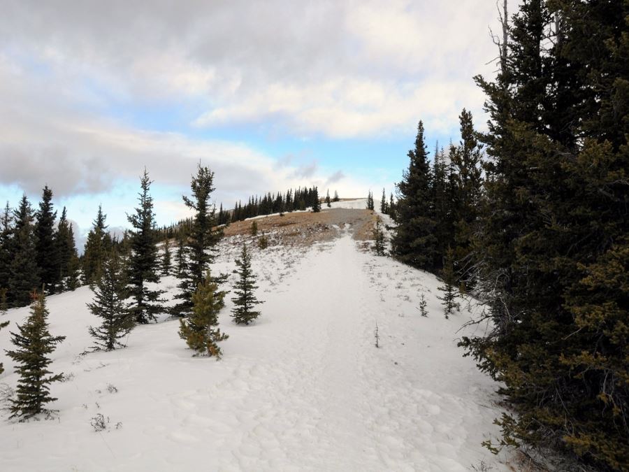
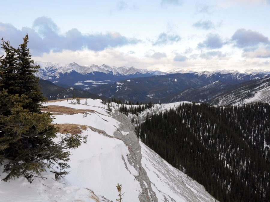
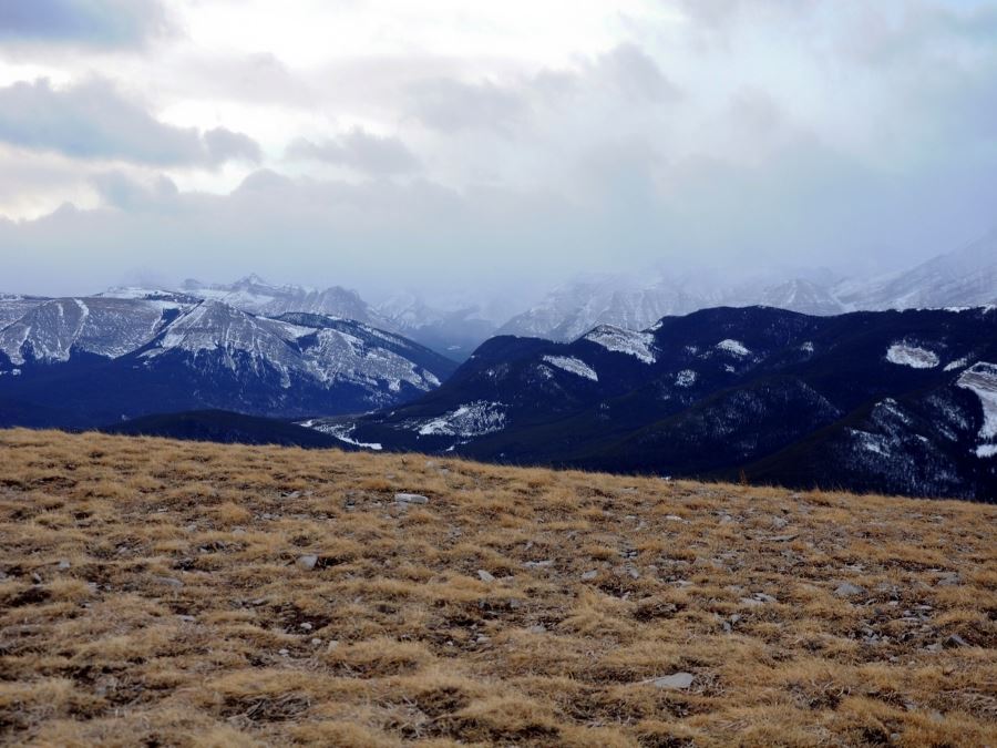
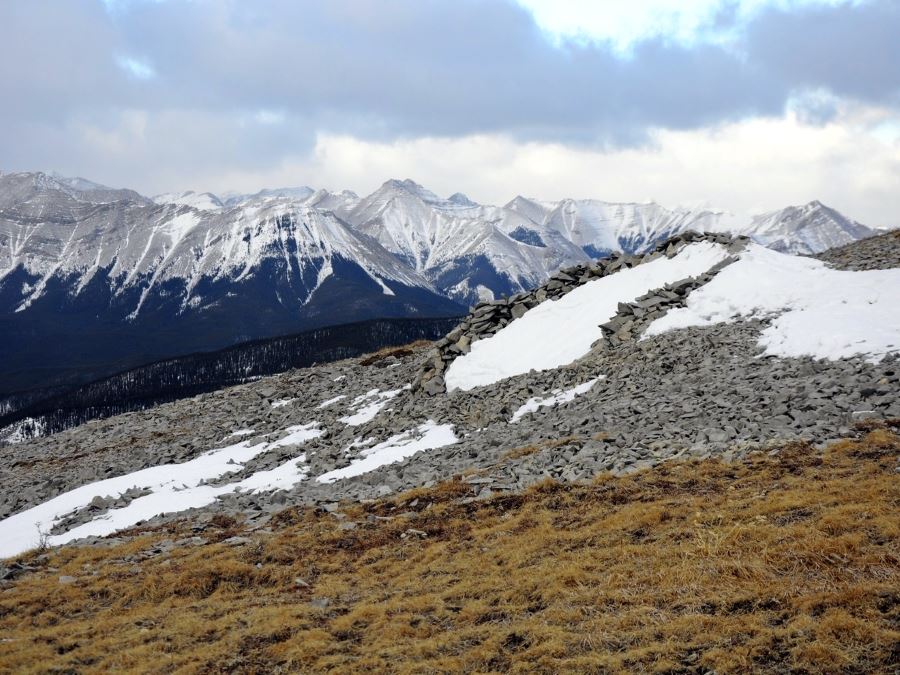
From there the trail climbs steeply, becomes relatively level, and then becomes very steep for quite a distance before emerging from the trees near the top. From here simply turn right (north), follow the ridge for another 10 minutes to head for the summit. While the views on the way up were limited, you will now be treated to great views of the prairies, the City of Calgary to the east. To the west you are treated to great views of Kananaskis including Moose Mountain, Powderface Ridge, and Banded Peak.
Insider Hints
Outside of summer, you'll need some sort of traction device for your boots as most of the ascent is icy or compacted snow. We used Kahtoola Microspikes from Mountain Equipment Co-op and they were fantastic, and many of the others we passed were using them too.
It will likely be windy as you break the treeline, be sure to pack an extra layer.
Similar hikes to the Prairie Mountain hike
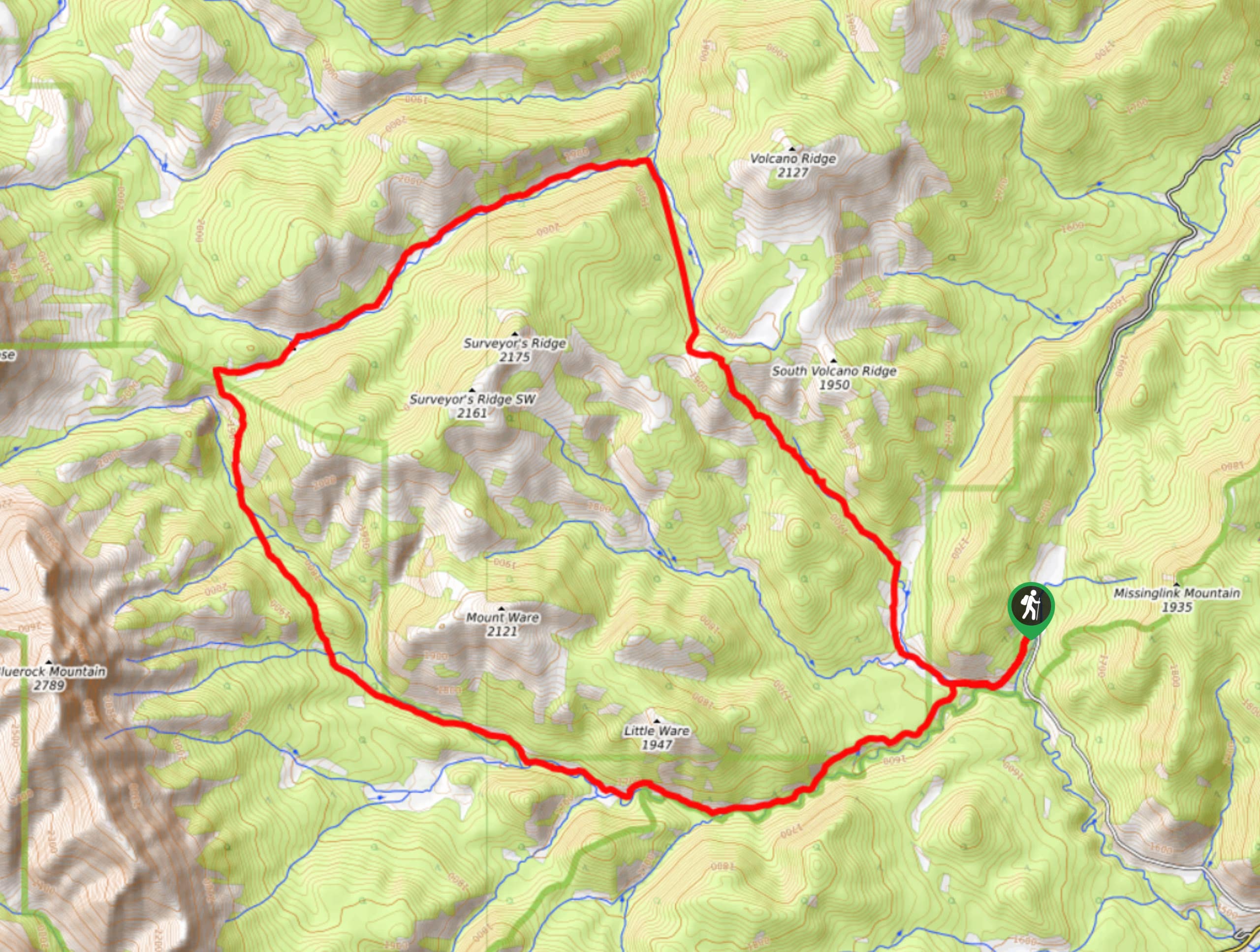
Gorge Creek Loop
Hiking the Gorge Creek Loop requires some route knowledge and a bit of extra effort as it is not as…
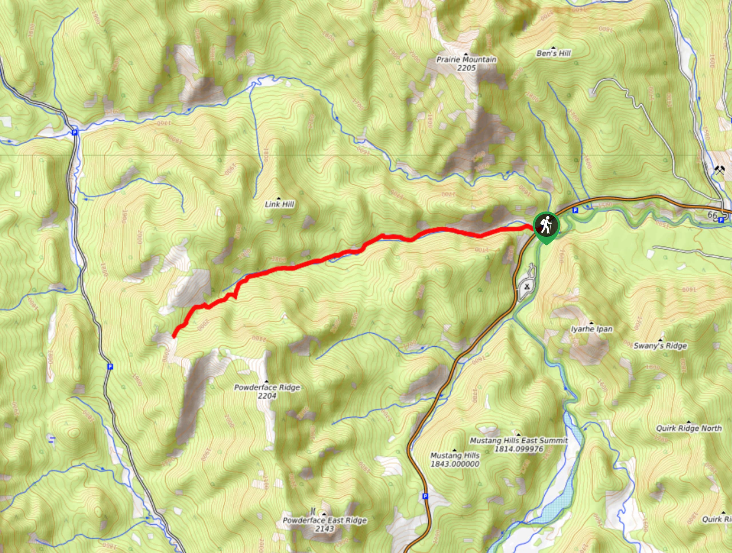
Powderface Creek Trail
The Powderface Creek trail in Kananaskis is a popular hiking, biking, and horseback trail, so be aware of traffic when…
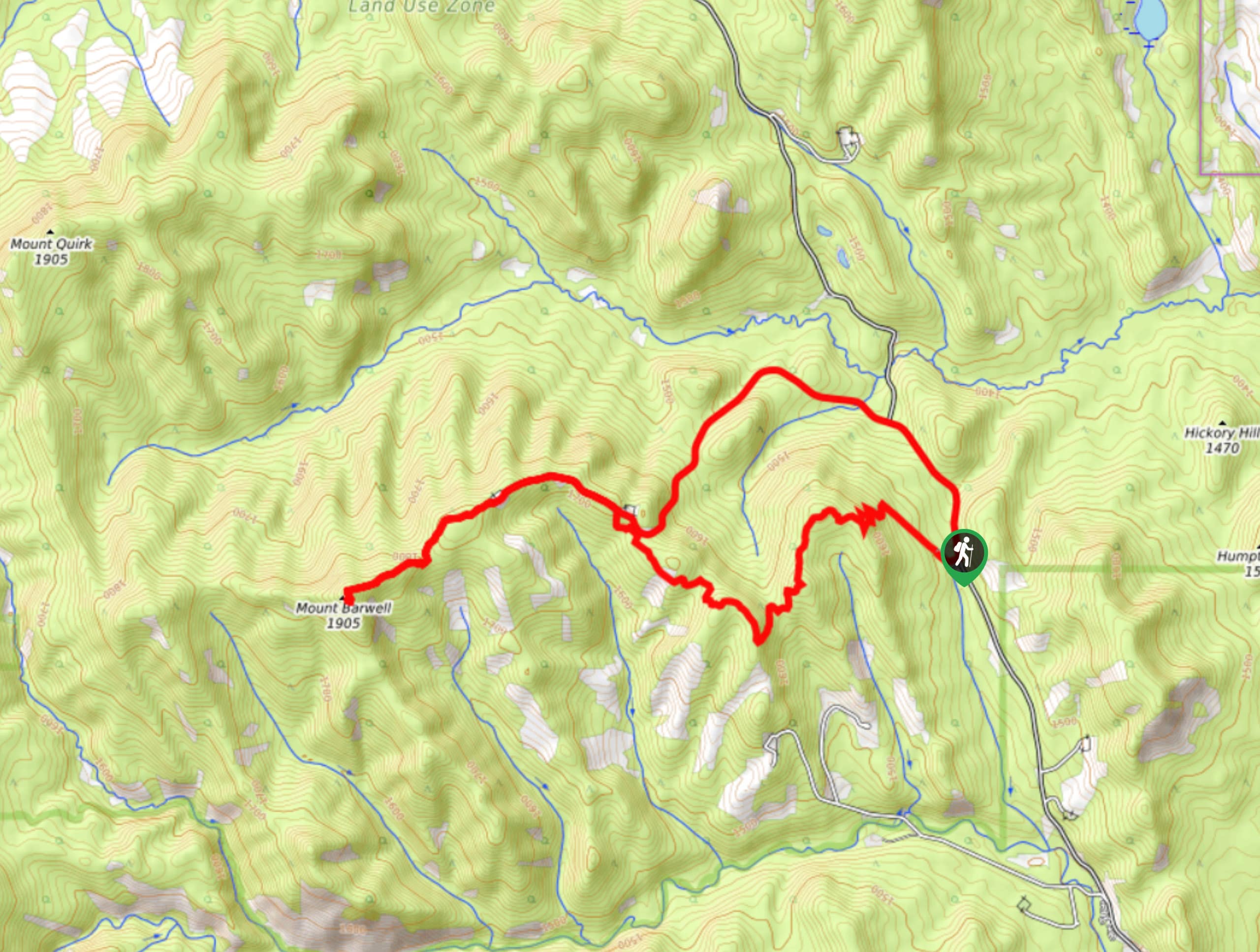
Barwell Trail
Hiking the Mount Barwell Trail is a half to full day effort that is very rewarding. With minimal crowds and…


mallorykirzinger 5 years ago
This hike is great for springtime getting in shape because it's just so freaking steep for the entire time and it's south-facing, but for this much effort, I'd rather be IN the mountains. Not that I dislike it, but the view is somewhat distant and it's tough on the body. Keep at it in the early season but otherwise, one of the other amazing hikes in the area might be better in terms of effort and reward.
JohnCan 5 years ago
Prairie Mountain offers plenty of views to enjoy.
Greenlife 5 years ago
It was a real challenge. I was quite exhausted during the ascend, but the views were fantastic.
LyleM 5 years ago
Spending your time with this trail will be worth it. Difficult but really stunning at the top.
Soli Petravron 5 years ago
Difficult but rewarding hike. I was really exhausted by the time I reached the top. But man! The scenery is just too bewitching.
havedogwillhike 5 years ago
honestly i just use this as a spring conditioning hike. it dries out faster than anything else in the early season, but it's a literal stairclimber for hours with an okay but not fantastic view. ill keep grinding it out to get in hiking shape but if you're just out for a daytrip, maybe choose one closer to the action.
SebClyde 5 years ago
It gets steeper as we went further, but it's worth it.
Donald J. 6 years ago
Average hike with nice views.
Gregory J. 6 years ago
It was a moderate hike. Pretty challenging trails with pleasant views.
noraliu 6 years ago
The snow made the place look like heaven.