


Mount Ware hike
View PhotosMount Ware hike
Difficulty Rating:
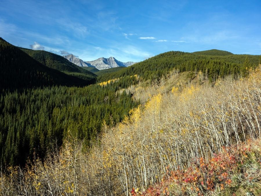
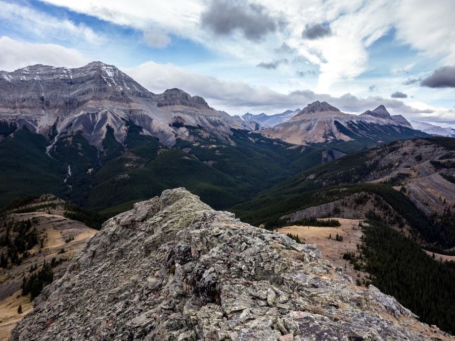
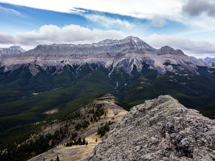
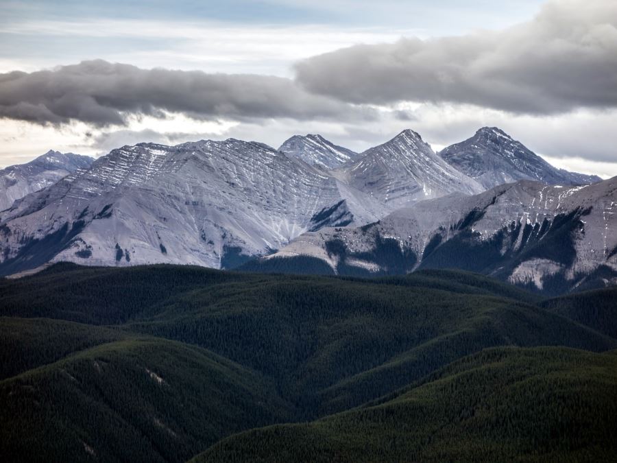
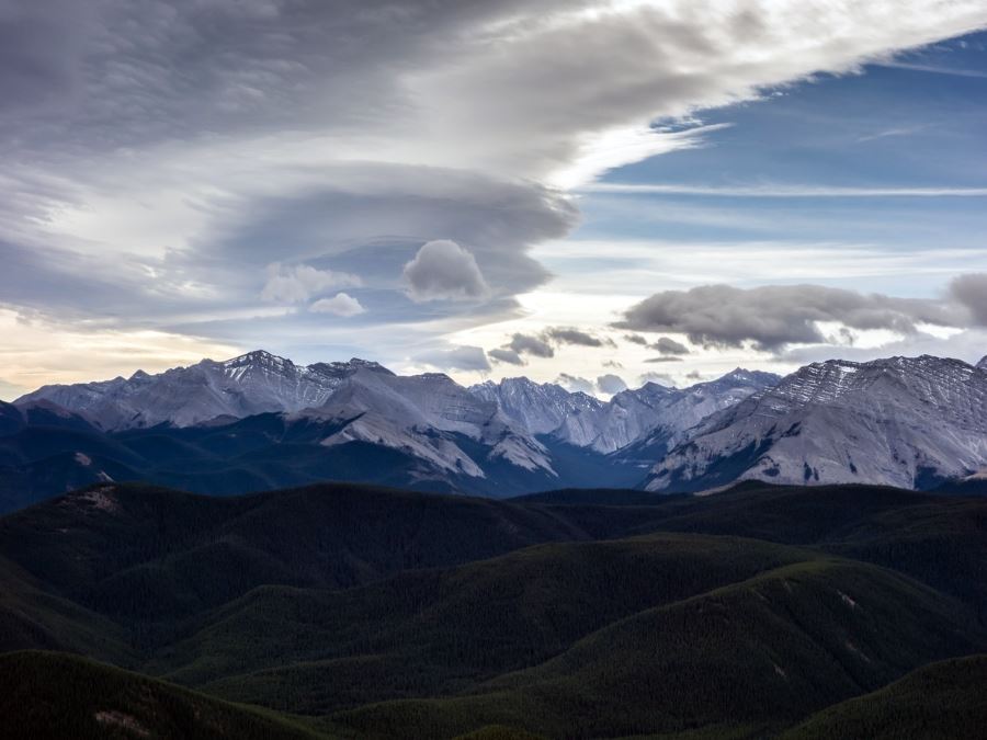
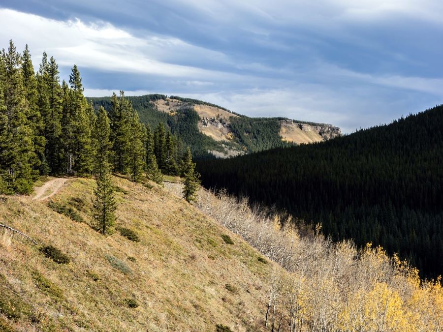
This mid-length moderate hike has us summit Mt. Ware. As our final elevation takes us above all the surrounding foothills we are afforded great views of the surrounding area, including the impressive Bluerock Mountain to the west.
Getting there
We start our loop from the Gorge Creek Day Use Area. Take highway 546 from Turner Valley. We will be taking a right onto the Gorge Creek Access road which is not very well signed until you are on it. The access road jets off to the right from the main road and then follows the main road in parallel for the first 0.3mi before the main road goes down a steep hill.
About
| When to do | May 15 - October |
| Backcountry Campsites | No |
| Toilets | Yes |
| Family friendly | No |
| Route Signage | Poor |
| Crowd Levels | Low |
| Route Type | Out and back |
Mount Ware
Elevation Graph
Weather
Route Description for Mount Ware
The trail will have us climbing and descending all along as we gain about 1700ft of elevation whilst climbing a total of 2400ft. Remember these descents on the way out turn to climbs on the homeward path, so be sure to save some legs!
As you leave the Gorge Creek Day use Area you will head SSW and will find a marked trail that follows Gorge Creek just its north. When you initially meet the creek we will cross at the new(ish) bridge.
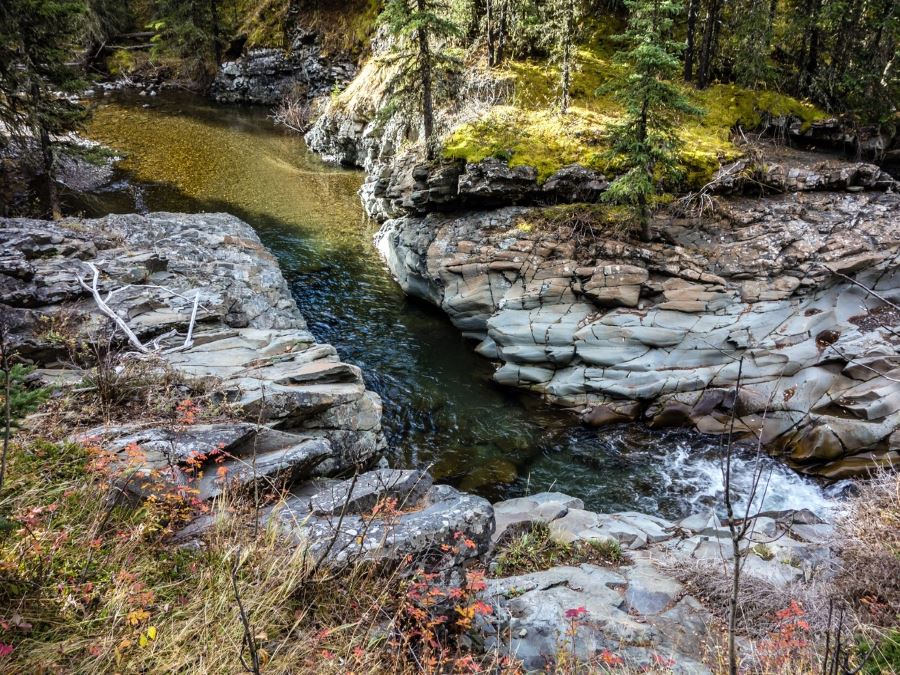
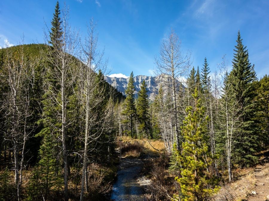
Right after crossing the bridge take a left to find the South Gorge Creek Trail (signed), and almost immediately after passing the sign take your first prominent right. We will follow this trail for about an hour. As you walk along the creek trail be sure to take in the scenic views of the creek flowing past you to the left.
There are many routes up Mt Ware, and many dead ends. The route suggested to us involved approaching the mountain at a ‘Three O’Clock” approach. We leave the Creek trail after crossing a cattle guard, when a cairn between two pines appears to our right marks a smaller trail.
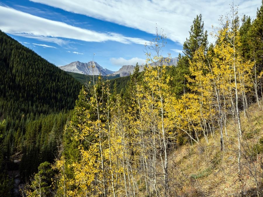
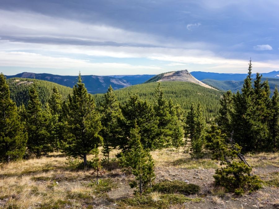
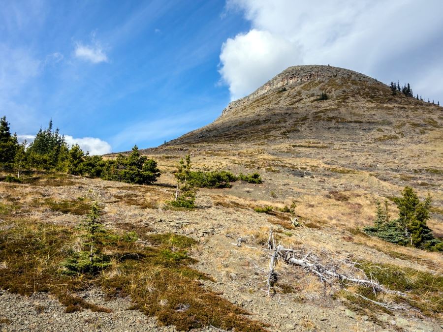
As we follow this new trail we start to gain elevation and the trees start to thin and we are given our first clear views of our destination. Continue to follow the trail as it peters out as we reach the steep grassy slopes of our final destination.
Did we mention the final approach is steep? At this point there is no going wrong and pick one of the many trails up the final face.
Insider Hints
Some parts of Mount Ware hike can get muddy so make sure your shoes are waterproof.
If you don’t feel tired, you can also hike up Little Ware as well.
There’s an alternative route to the top of Mt Ware, so if you don’t like ‘out and back’ trails you can make it a loop.
Similar hikes to the Mount Ware hike
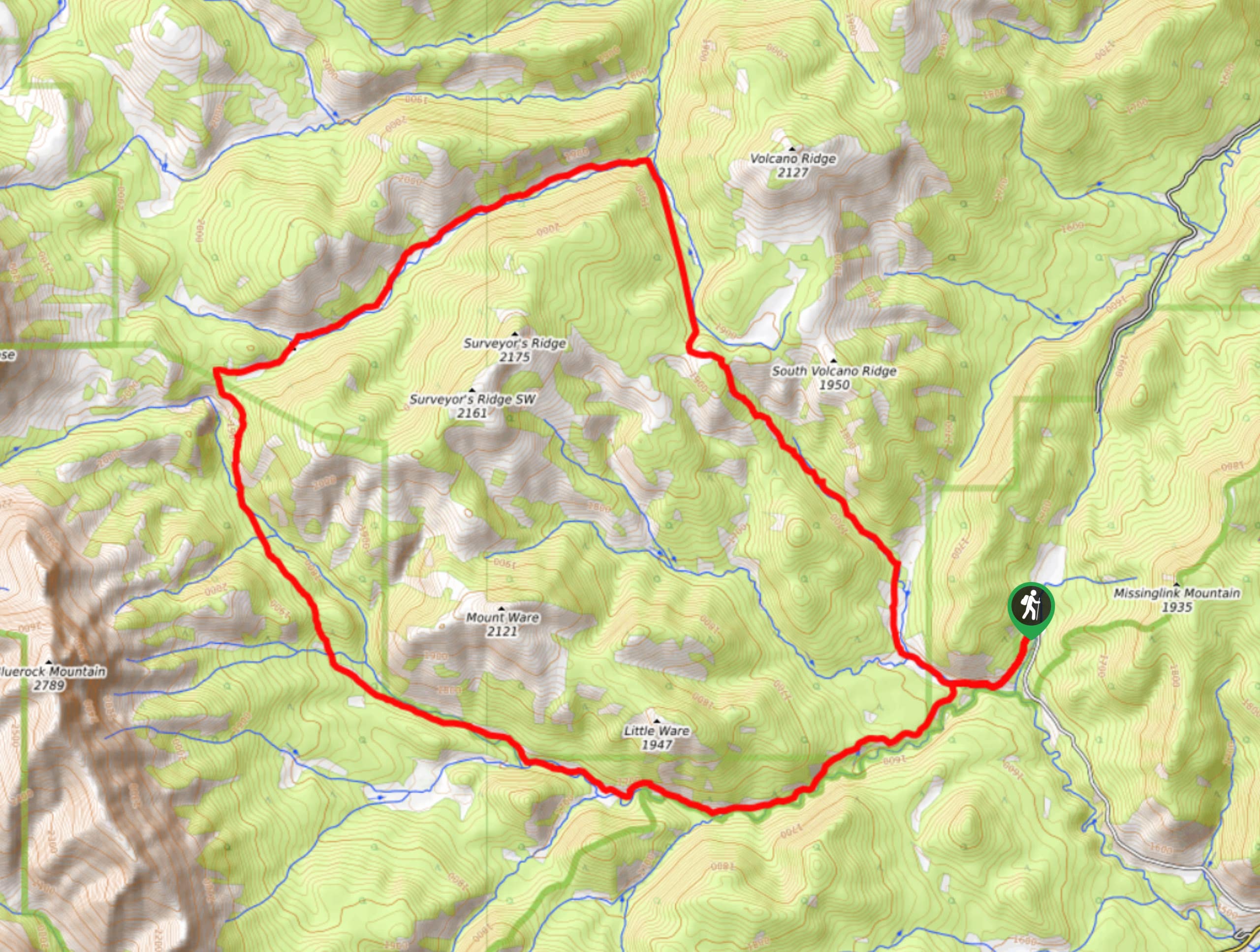
Gorge Creek Loop
Hiking the Gorge Creek Loop requires some route knowledge and a bit of extra effort as it is not as…
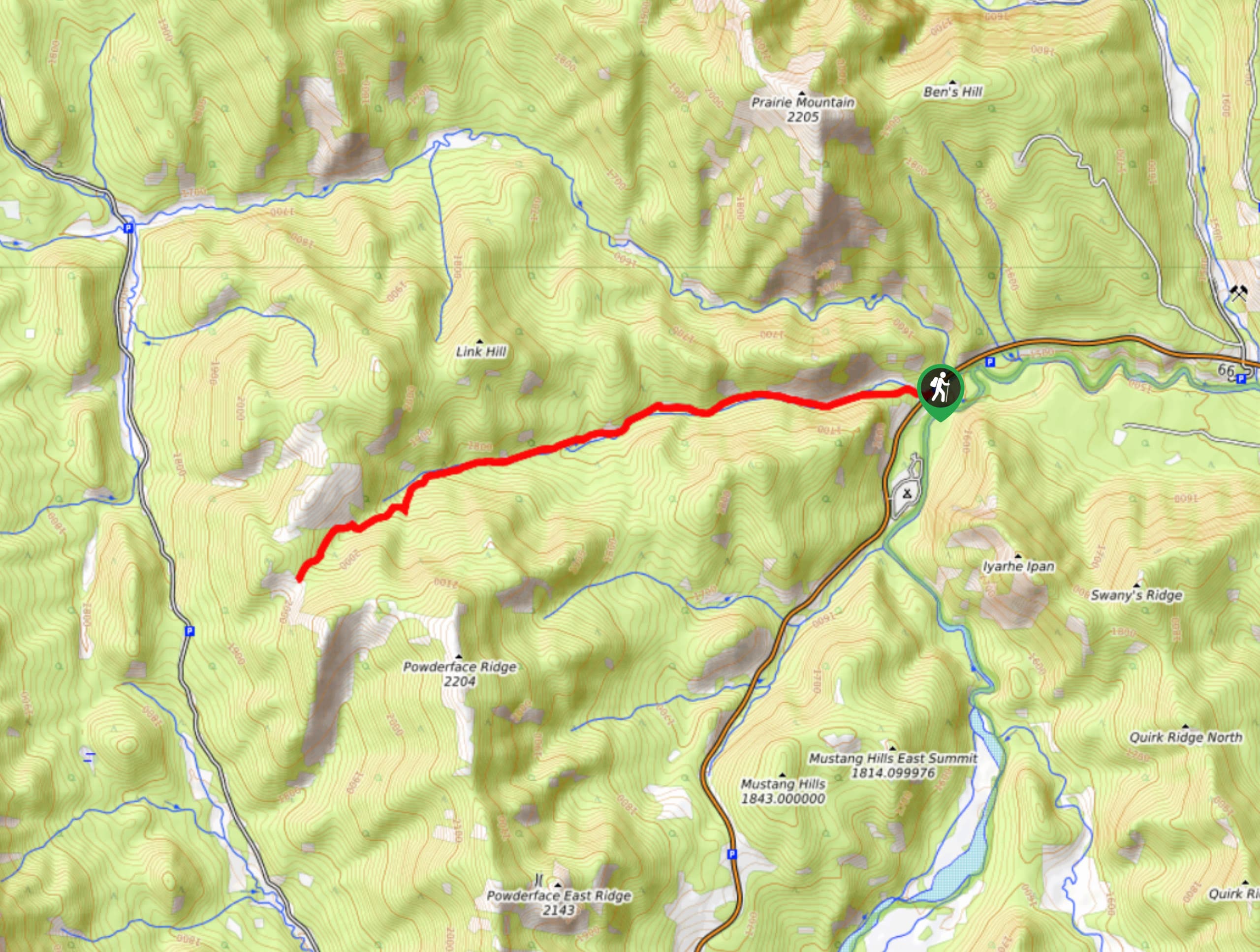
Powderface Creek Trail
The Powderface Creek trail in Kananaskis is a popular hiking, biking, and horseback trail, so be aware of traffic when…
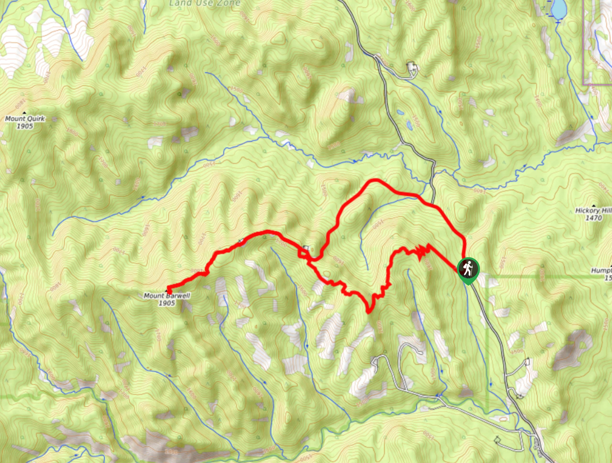
Barwell Trail
Hiking the Mount Barwell Trail is a half to full day effort that is very rewarding. With minimal crowds and…


JohnCan 5 years ago
The beautiful views makes me feel alive.
MartiniC 5 years ago
The scenic view of the creek flowing is one of a kind!
LyleM 5 years ago
The trail is muddy only at the beginning but after that the trail is in good condition. You can use GPS when you start to ascent. Love this trail due to its forests, rivers, and mountains.
JMC 5 years ago
This is a nice hike! Getting to the summit is decently-challenging. Lovely views.
hannahthorns 5 years ago
Terrific hikes with plenty of great views!
Linby SK. 5 years ago
Absolutely terrific. One of the best hikes I've done this year. Loved that majestic view when you're at the top.
Lukas Saville 5 years ago
Just done this hike and it was a stunning experience. The trail is muddy at first but then it becomes dry and pleasant. The views are wonderful. Green forests, powerful creeks, and then you begin to ascent. I enjoyed the hike throughout the trail, and was even wondering if you really need to climb Mt Ware. But this is a must. The views on the mountain are amazing. Do be careful, there are ticks on the mountain and in the area. Lots of them. Found 2 on me. Before they attached, luckily. The trail is hard to follow at some parts, use the GPS, this helps a lot. There are many ways to get to the mountain, so even if you wander off, the trees are quite far from one another so it's not hard to walk through the forest until you find the trail again. And the best part was - we saw a black bear when leaving the car park after the hike. 10/10
havedogwillhike 6 years ago
pretty quiet hike, lesser-known one out here. we got a little lost but since there are so many trails you can hop back on one and just hope for the best. really pleasant overall, i'd add it to your list
Jeffrey Reagan 6 years ago
Great hike! If you have more time, visiting Little Ware would be a great idea!
Harry S. 6 years ago
Some part of the trail is muddy so make sure your shoes are waterproof. The views are refreshing. The trail is beautiful because of the forests and rivers.