


Moose Mountain hike
View PhotosGetting there
From Highway 66, turn north onto the Moose Mountain road, just west of Paddy's Flats. Be aware that this road is closed from Dec. 1 to May 15. The trailhead is located at approximately the 4.7mi mark, just before a gate.
About
| When to do | May 15 - October |
| Backcountry Campsites | No |
| Toilets | No |
| Family friendly | No |
| Route Signage | Average |
| Crowd Levels | Moderate to High |
| Route Type | Out and back |
Moose Mountain
Elevation Graph
Weather
Route Description for Moose Mountain
As testament to its popularity and the types of people this trail may attract in peak season, there are directions given on how to appropriately park in the two available parking areas. The trail is a gated road heading north from the parallel parking area (don’t confuse this with the main road, which is also gated).
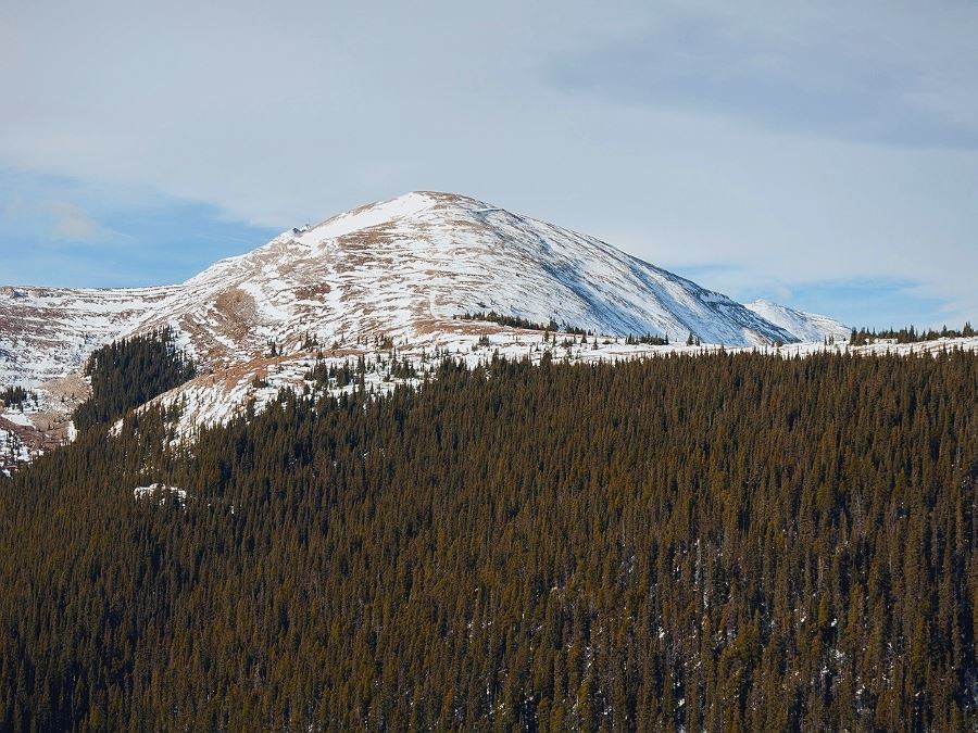
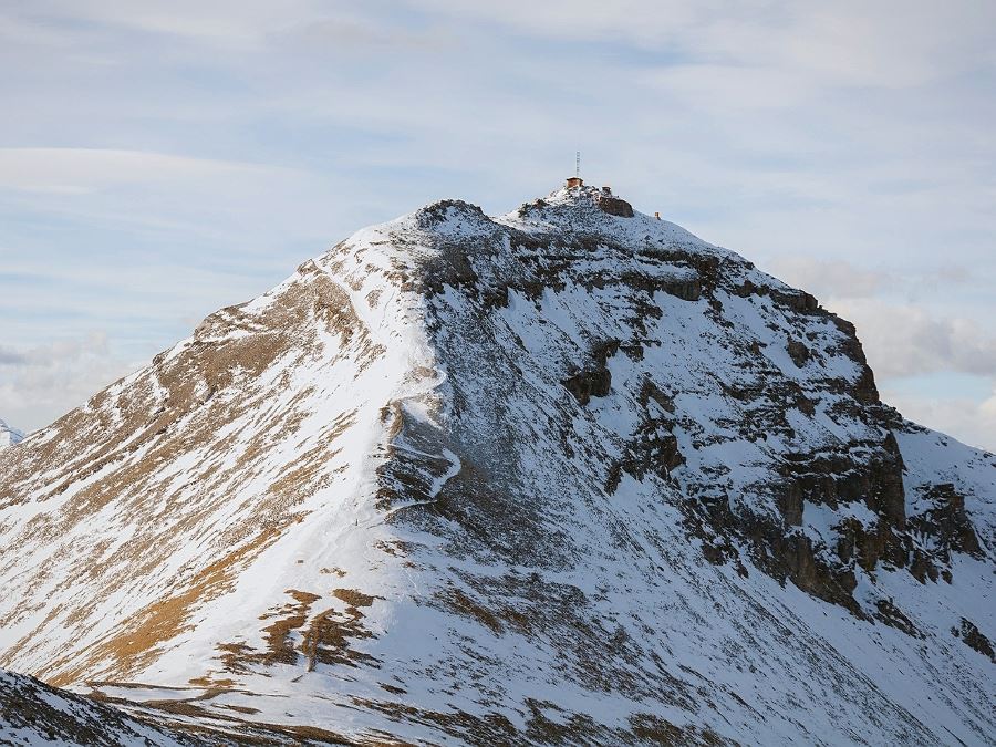
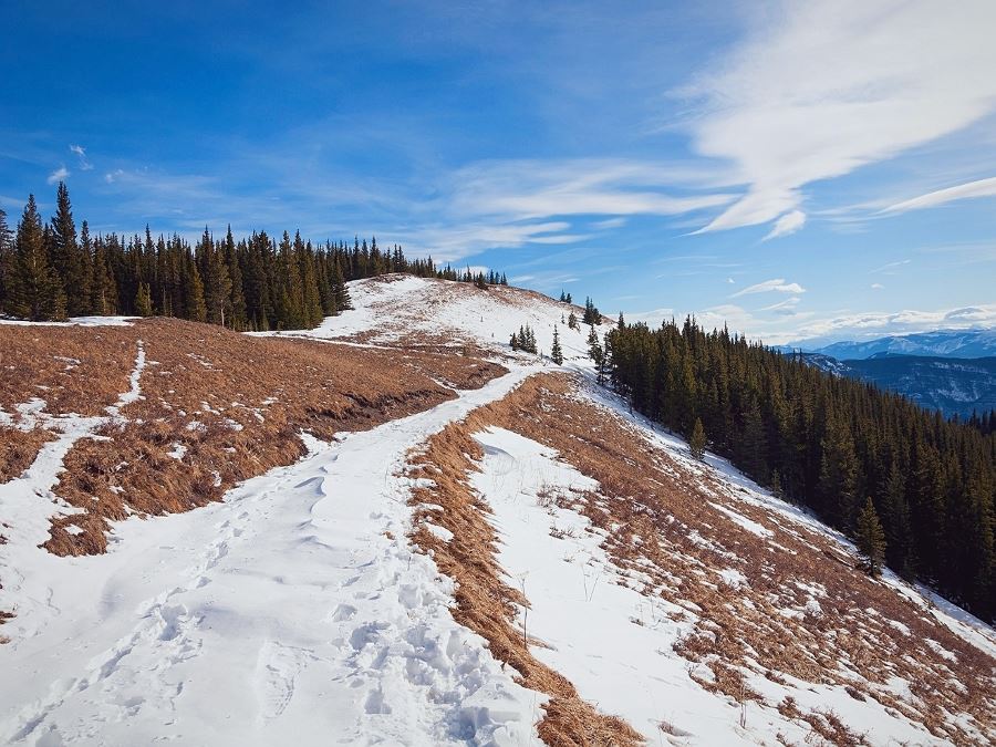
The trail initially heads north, descending 328ft shortly after leaving the parking area. Be mentally prepared for this ascent on the return. The trees open up on this descent and grant a view of nearly the entire approach. This is also a good vantage point to confirm that the initial peak you will ascend is indeed a false summit! Once reaching the bottom, gently ascend through forest for several kilometers until you emerge onto the ridge you glimpsed to the north on the descent.
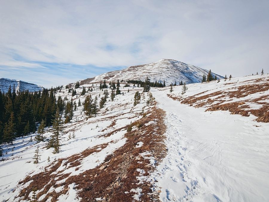
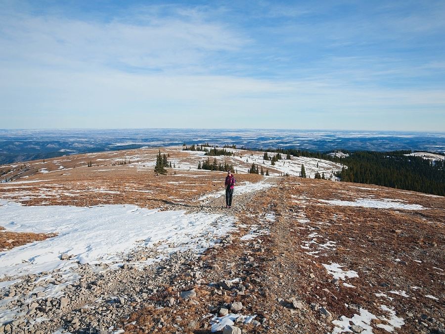
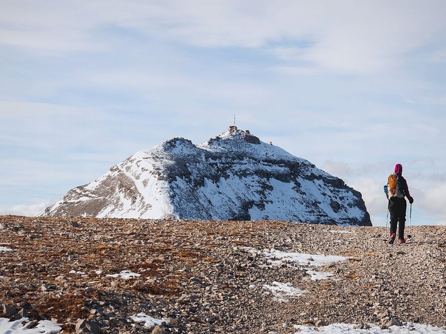
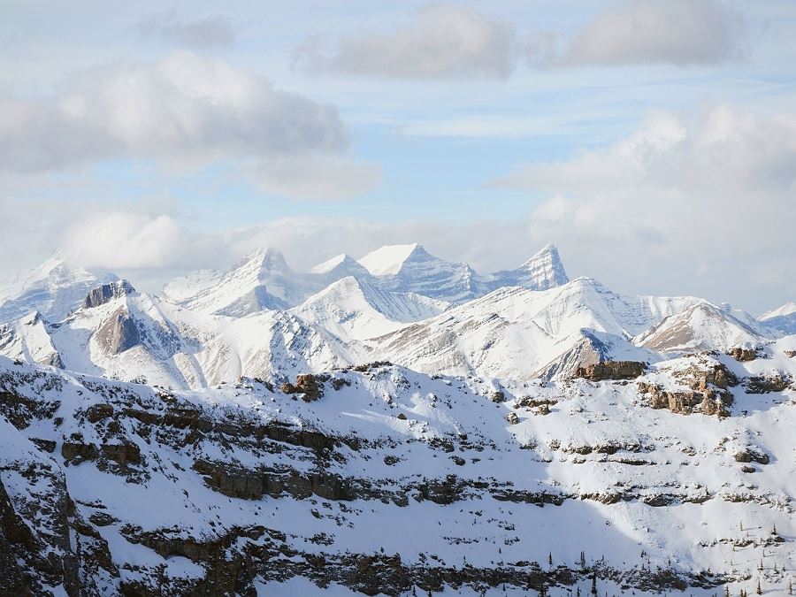
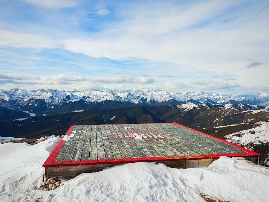
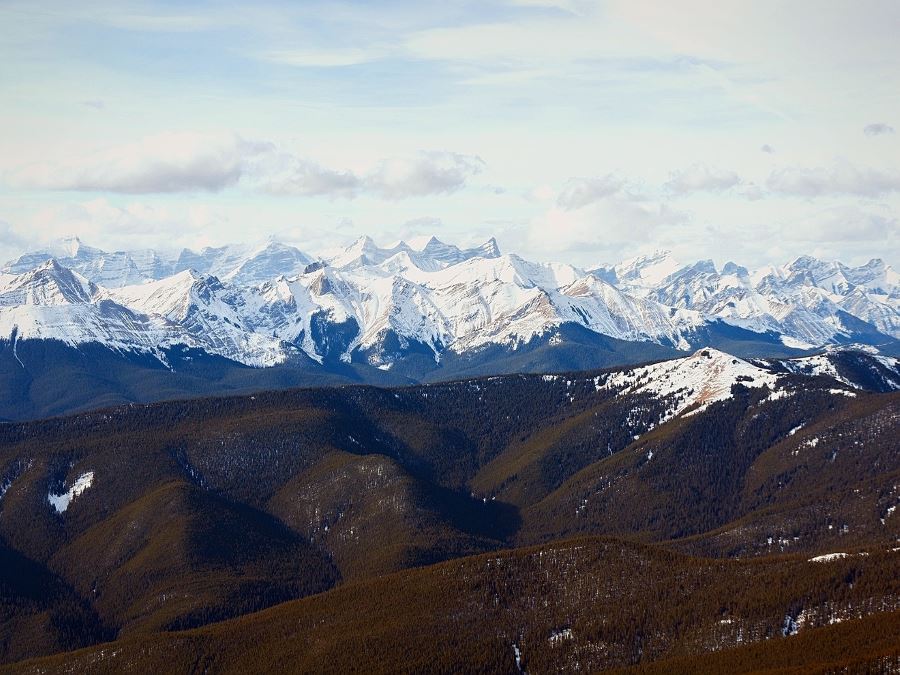
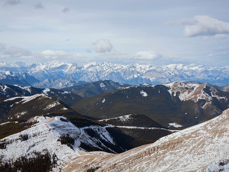
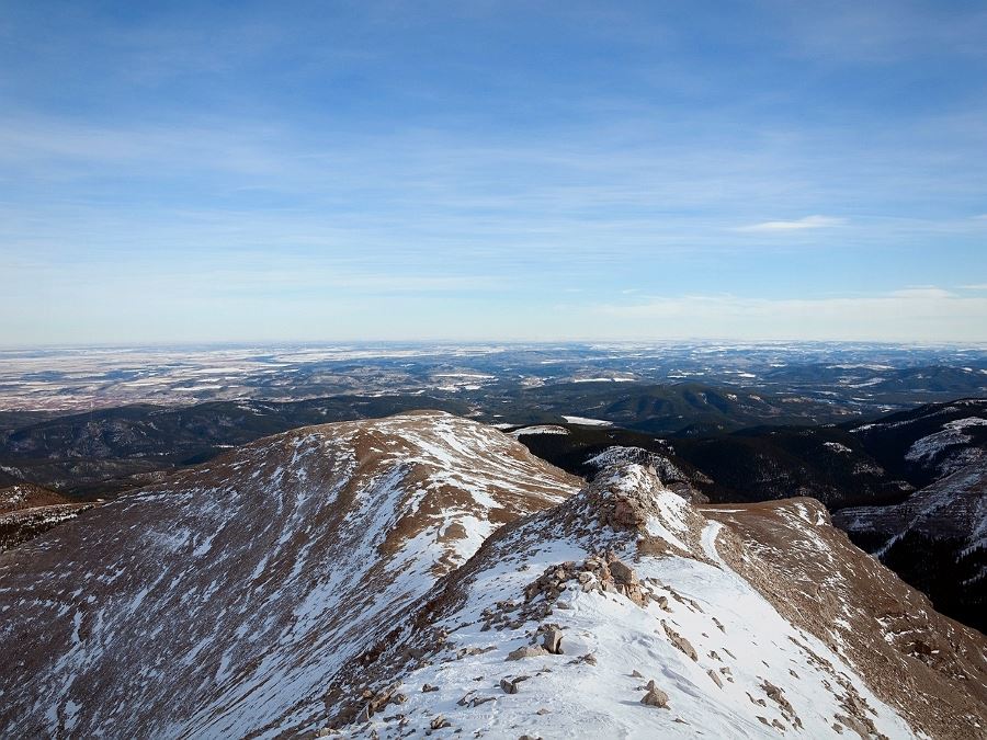
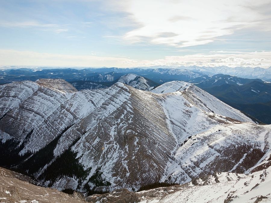
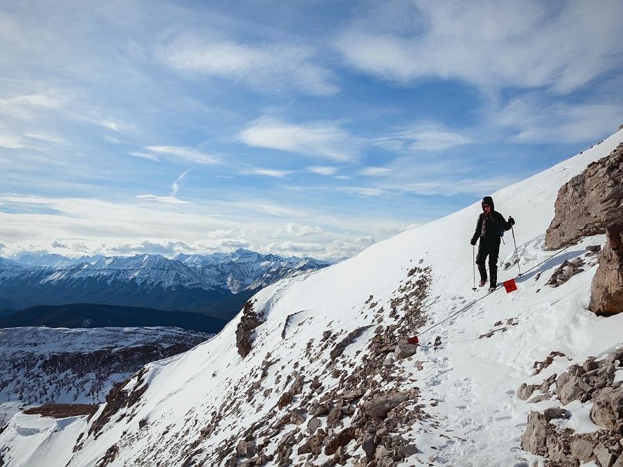
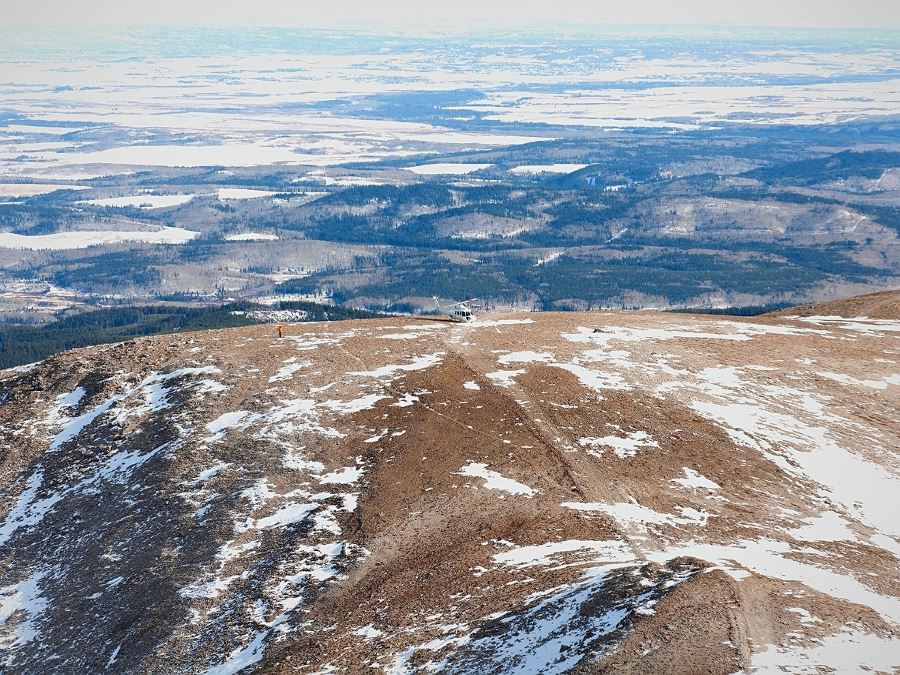
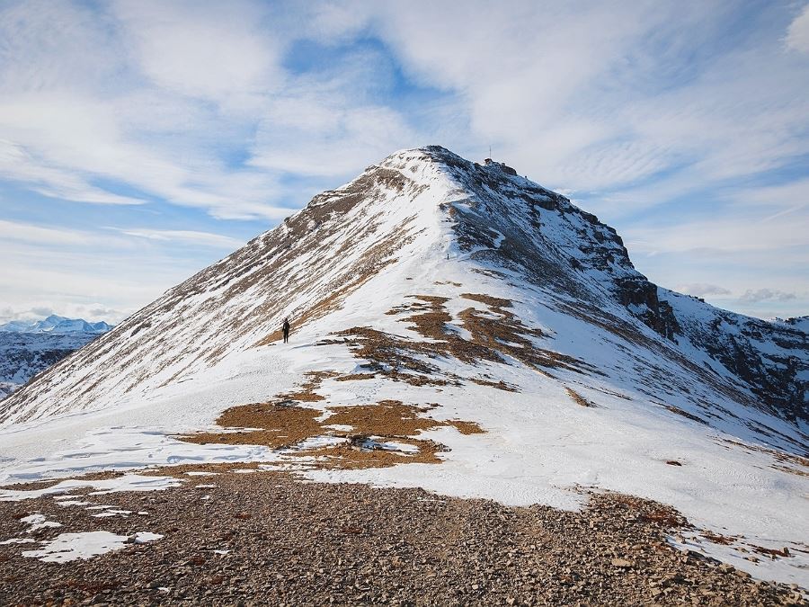
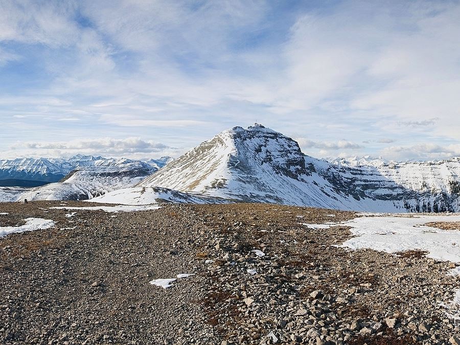
The ascent of the initial summit is straightforward. Although there is a very well switchbacked road, many people appear to simply climb straight up; it is certainly gentle enough that this is not a problem. The final walk to the main summit from this point looks daunting, but it is much more gently graded that it appears from this vantage point. In dry conditions it would be straightforward; if the trail is icy or snowy use common sense precautions. The views from either summit are fantastic and many other early season objectives are visible, including Prairie Mountain and Jumpingpound Ridge.
Insider Hints
Check the weather before you go, above the tree lines the hike is completely exposed and lightning storms are frequent.
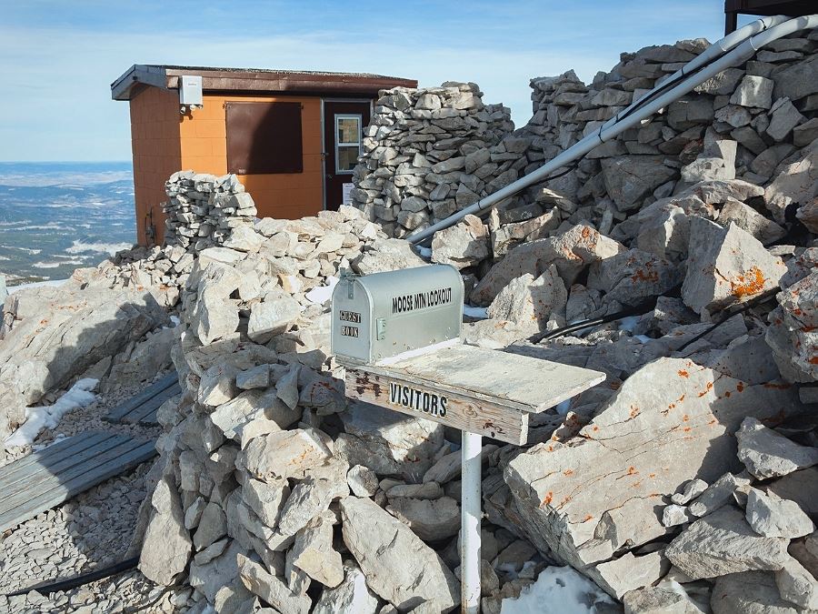
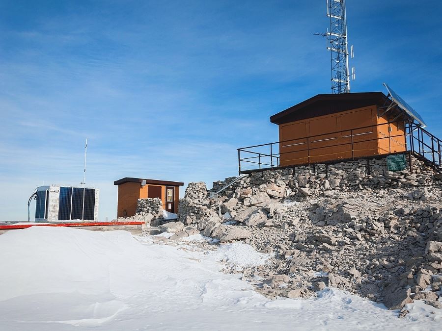
There is a picnic table at the top next to the lookout to grab a snack.
This is a popular place for mountain biking and you will be sharing the trail, stay alert.
Similar hikes to the Moose Mountain hike
Gorge Creek Loop
Hiking the Gorge Creek Loop requires some route knowledge and a bit of extra effort as it is not as…
Powderface Creek Trail
The Powderface Creek trail in Kananaskis is a popular hiking, biking, and horseback trail, so be aware of traffic when…
Barwell Trail
Hiking the Mount Barwell Trail is a half to full day effort that is very rewarding. With minimal crowds and…


kristinoutdoors 4 years ago
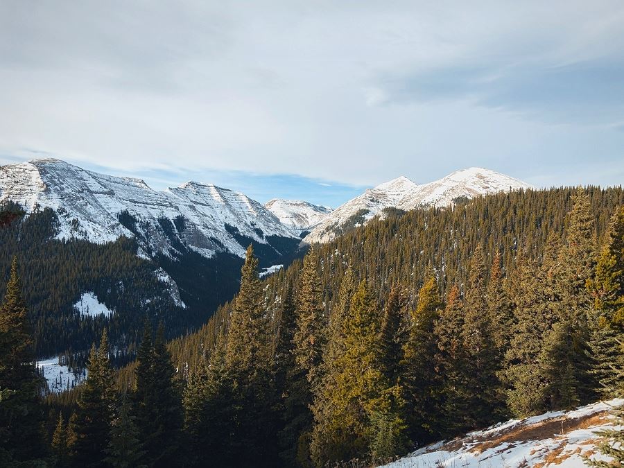
Hiked Moose Mountain this weekend (end of November!) and there was snow on the ground, with some ground peeking through at the switchback section. The hike was totally doable, even with snow—use microspikes and poles for increased security! (I forgot poles and only wore cleats on the descent, and I was fine). The views of K-Country to the west are absolutely breathtaking!! We were lucky not to battle wind on the way up, but it picked up on the descent, making for a very chilly hike down while out of the trees. Check the weather, dress accordingly, and definitely be mentally prepared for the ascent near the parking lot on the way back (it felt neverending!).
Richy_travels 5 years ago
Phenomenal scenery! I had some wonderful experiences during the hike.
PeterHopkins 5 years ago
Done this few years ago, and it's amazing!
Grant Ko. 5 years ago
Great view. Super pretty wild flowers too. Very few muddy spots, great for moderate hikers!
LyleM 5 years ago
Great hike. Easy to find trailhead, wide path all the way to the top.
alexjensen 5 years ago
Does it ever end? It does, eventually. Thankfully it ends with a nice view. This one is good in the shoulder season, the views are great, and it's easy to follow. Bit of a tiring trip though.
ksloper 5 years ago
Too wet still in late May. Deep snow covering most of the trail, so without proper equipment like I’ve grips we had to turn around before the open ascent. Beautiful views once up high but most of the hike is a wide trail in trees.
SebClyde 5 years ago
Amazing trails and great chances of spotting wildlife.
swander23 6 years ago
moose mountain is a great intense hike, with quite a bit of elevation gain and some amazing viewpoints
Lisa B 6 years ago
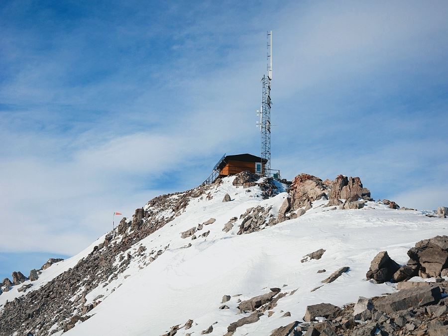
I enjoyed the hike to Moose Mountain and the views from the fire lookout.