


ForgetMeNot Ridge hike
View PhotosGetting there
Drive to the end of Highway 66 (about 40 minutes from Calgary). Park at ForgetMeNot Pond or the Little Elbow Campground. Note Highway #66 is closed at Elbow Falls from Dec 1st to May 15th.
About
| When to do | May 15 - October |
| Backcountry Campsites | No |
| Toilets | No |
| Family friendly | No |
| Route Signage | Poor |
| Crowd Levels | Low |
| Route Type | Circuit |
ForgetMeNot Ridge
Elevation Graph
Weather
Route Description for ForgetMeNot Ridge
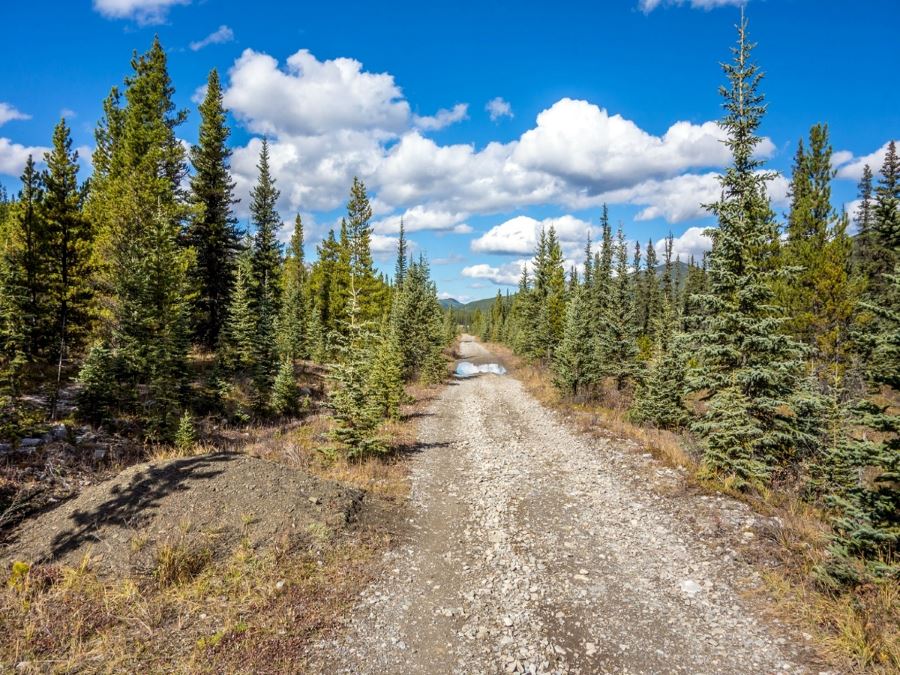
Setting off from the parking lot heading south, then west you will quickly cross the Little Elbow River using the Harold Chapman bridge. Come off the bridge head towards the north end of ForgetMeNot Ridge, hiking on trail (do not take the intersections heading south) until you reach the Elbow River.
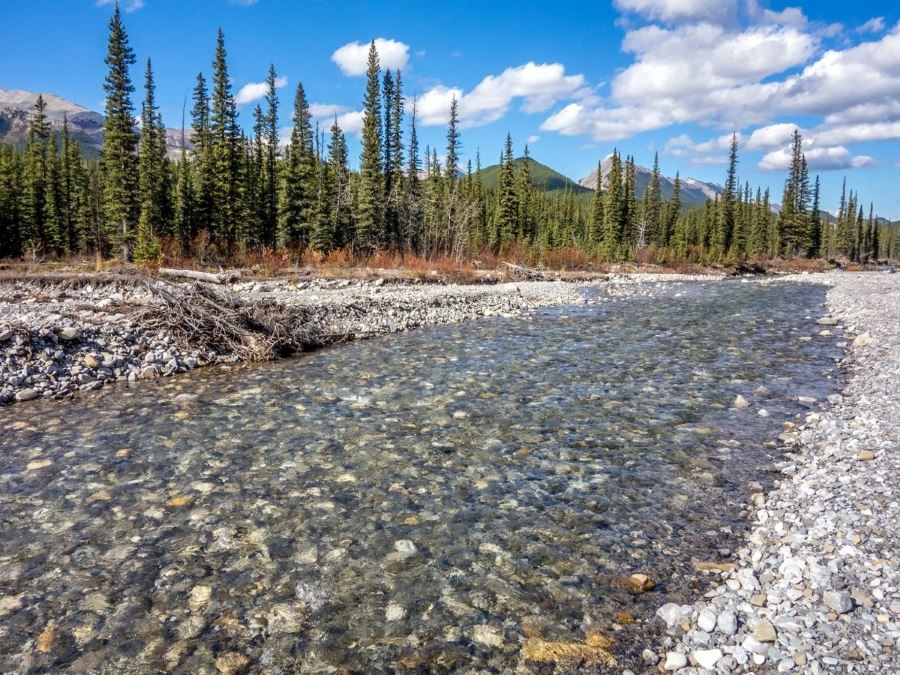
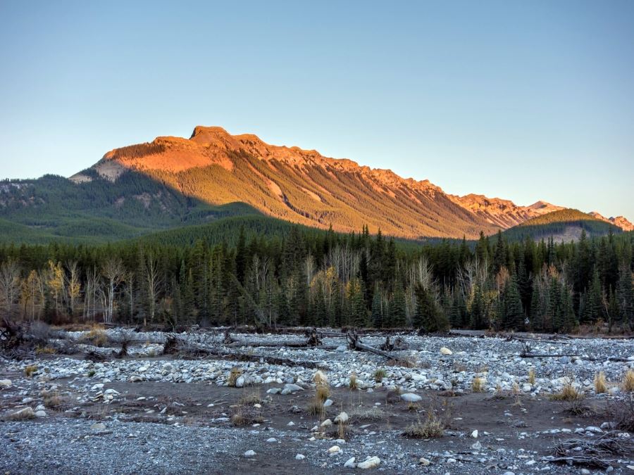
As we were hiking before spring break up there was no water flowing on the surface and we easily picked up the trail on the other side of the river flats. During runoff the ford may be difficult, stop and assess your safety. A short time later, you will come across a cairn that marks the start of our trail, take a right and start up the ForgetMeNot Ridge trail. The hike up quickly gains elevation as the trail make some steep switchbacks.
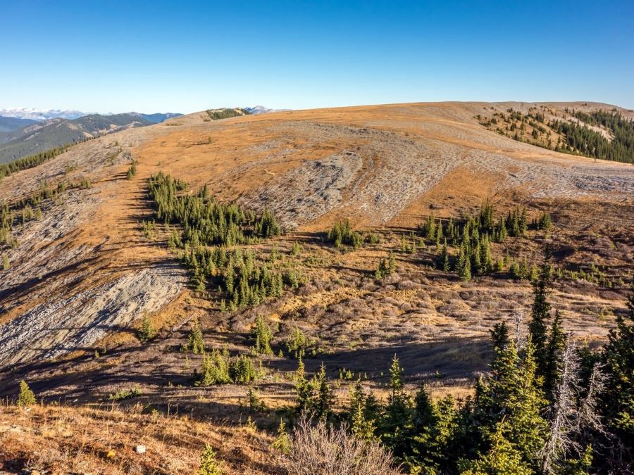
The traverse towards ForgetMeNot Mountain involved losing 459ft of elevation and then regaining nearly all of it, but both the descent and ascent were dead easy and the grade was very gentle.
From the summit you have two options to return to the trailhead: Retrace your steps for a great scenic descent, or drop off the ridge to the southwest, intersect the Threepoint Creek trail, follow it west to the Threepoint Mountain trail, then follow that trail out to the Elbow River and the Big Elbow trail.
If you opt for the new route, due to lack of use, the trail from the Summit to the Threepoint Creek trail may be overgrown. You should be able to see the trail from the summit and a little bushwhacking is all thats necessary. A fast walk back along the Big Elbow trail then brings you to the Little Elbow River. Follow long the river until you reach the bridge crossing and then continuing heading north until you reach the parking lot.
Insider Hints
Consider bringing a second set of shoes or a towel as we ford the little elbow river if not iced over.
The breeze can pickup coming off the river, back a wind breaker even in the summer months.
Similar hikes to the ForgetMeNot Ridge hike
Gorge Creek Loop
Hiking the Gorge Creek Loop requires some route knowledge and a bit of extra effort as it is not as…
Powderface Creek Trail
The Powderface Creek trail in Kananaskis is a popular hiking, biking, and horseback trail, so be aware of traffic when…
Barwell Trail
Hiking the Mount Barwell Trail is a half to full day effort that is very rewarding. With minimal crowds and…


TrevorWCline 4 years ago
No flowers, might be too early yet. Always do this out/back so we tried the loop this year; I would not recommend it as there is no trail, some open areas at the top and along drainages but mostly bushwhacking with sections of very steep side slopes along the drainages; took us 1 1/2 hr plus the lower half had lots of mosquitos even in mid June. Water on the ford was also high, just below knee level and fast compared to the entry ford so it was struggle getting our dogs across.
TrevorWCline 4 years ago
Usually do this every year; the flowers can vary widely year-to-year, some years they have been amazing. It is worth doing a side trip onto the north spur (at about 5km in) as it often has nice flowers
LukeMc 5 years ago
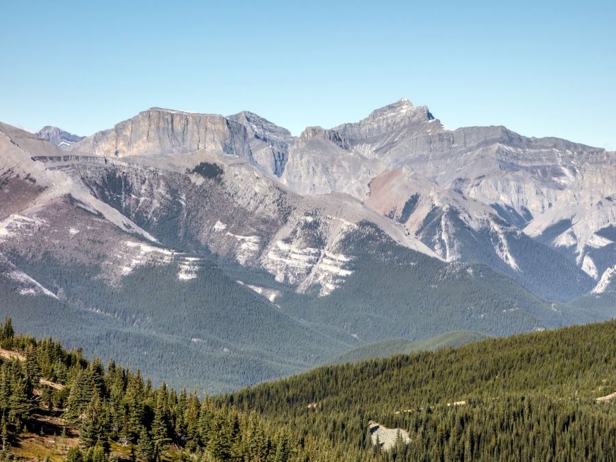
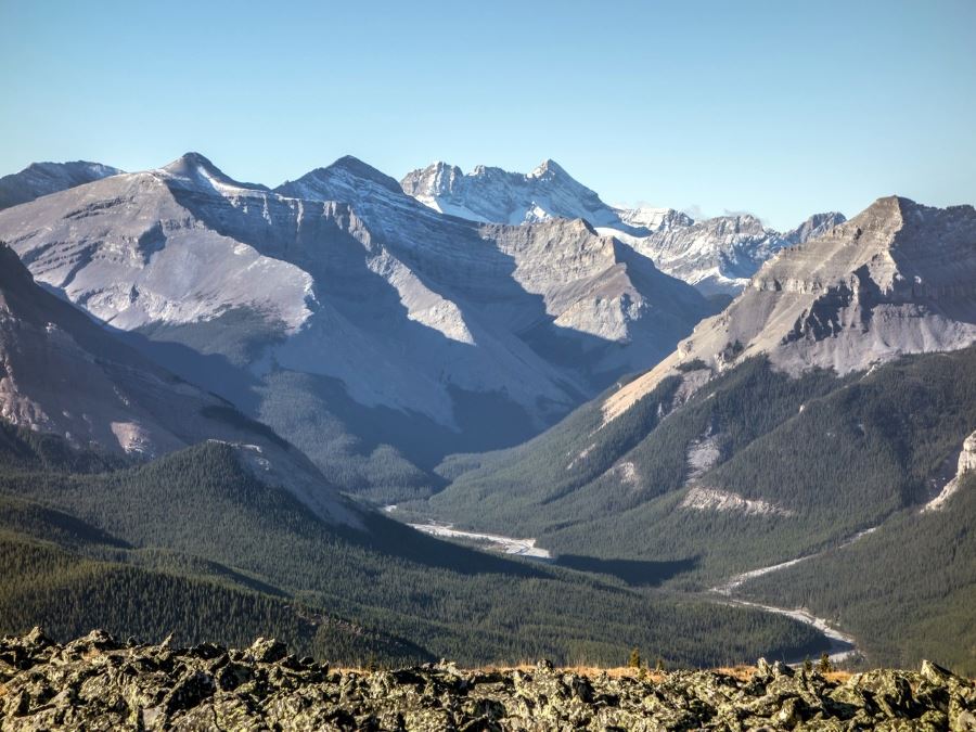
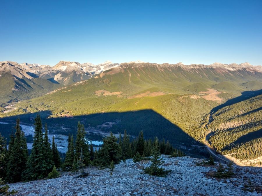
The views throughout the area are amazing! Gorgeous mountains, side valleys, rivers and creeks, and a number of viewpoints to enjoy them.
Greenlife 5 years ago
I enjoyed my adventure here. I was somehow hoping to see some forget-me-not flower, but there was none. So I guess this mountain wants to be remembered for its remarkable views instead. :)
Grant Ko. 5 years ago
It really suits it's name ForgetMeNot Ridge. Beautiful surrounding views.
oskareglq 5 years ago
Brings us back to our younger years! First hike I've done with my wife when she was still my girlfriend! The trails improved a lot.
alexjensen 5 years ago
Nothing too technical, which my girlfriend appreciated. What she didn't appreciate was 25km of me debating Forgetmenot vs. ForgetMeNot vs. Forget Me Not. Great hike tho!
LyleM 5 years ago
Great trail to avoid crowds. Bring shoes that you could use to cross the river.
Paul D. 5 years ago
We finish the trail in more or less 8 hours. We hardly noticed time passed though because we're paying attention to the surroundings.
Luna M. 5 years ago
The weather was awful , but the valley and surrounding peaks lived up to every expectation for scenery and wonder.