


Foran Grade and Windy Point hike
View PhotosForan Grade and Windy Point hike
Difficulty Rating:
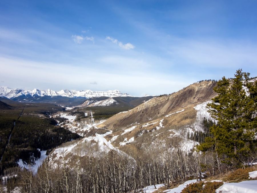
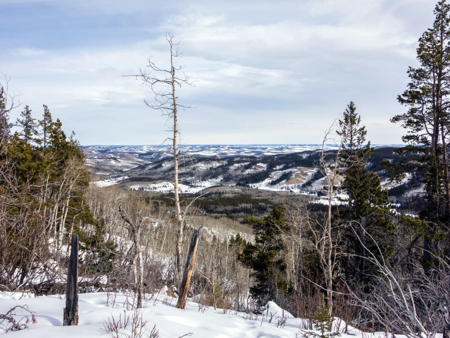
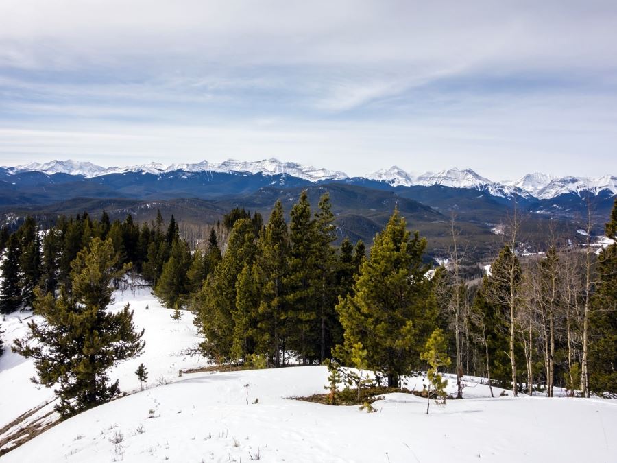
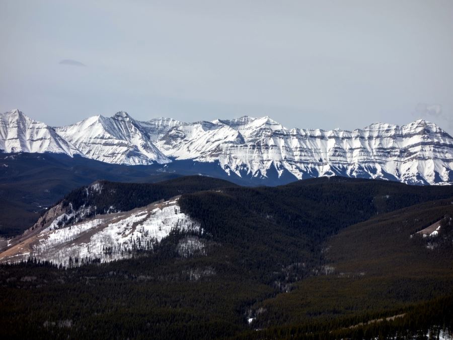
Foran Grade and Windy Point Ridge are two smallish peaks in the front ranges providing great views of the surrounding ranges to the west and the prairie to the east. The views are gorgeous, especially considering the limited elevation you gain at just over 1000ft.
Getting there
Closure of the winter gate forced our start at the inter gate closure at Sandy McNab day use area on Highway 546. Take highway 546 west from Turner Valley, and park either along the highway in the Winter or in the day use area in the summer.
About
| When to do | Accessible Year Round - May -October suggested |
| Backcountry Campsites | No |
| Toilets | No |
| Family friendly | No |
| Route Signage | Average |
| Crowd Levels | High |
| Route Type | Out and back |
Foran Grade and Windy Point
Elevation Graph
Weather
Route Description for Foran Grade and Windy Point
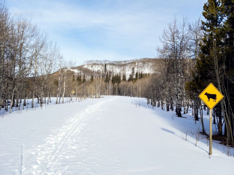
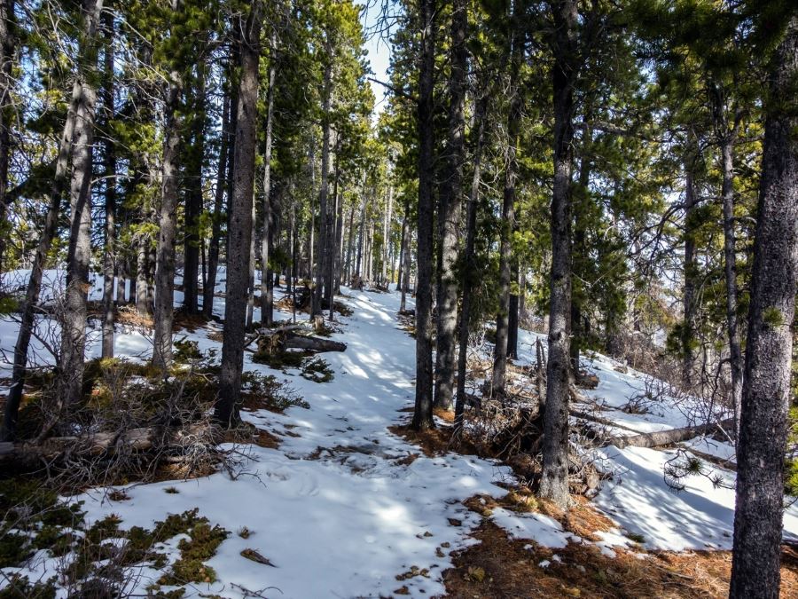
Parking at the gates on the 546 head west along the closed highway for about 0.9mi until you see the clearly signed Foran Grade trail. Follow the trail as you break away from the road and into the trees. Shortly after you will come into a meadow, where you might run into some free range cattle.
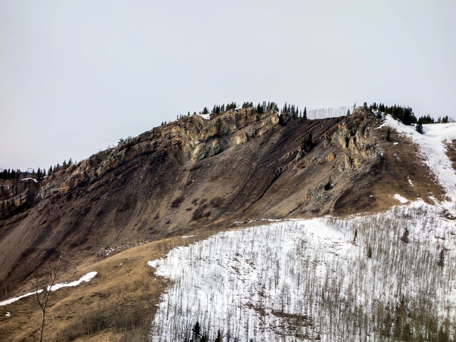
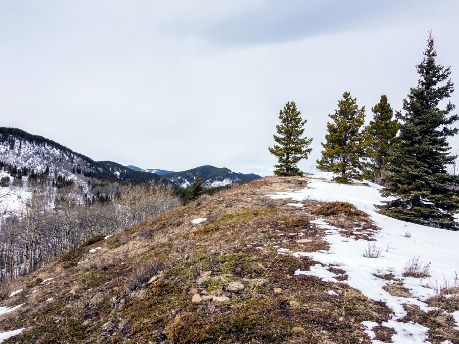
As you continue on the Foran Grade Trail you will gain elevation and quickly reach the summit. Leaving the Summit on trail heading WSW you will see our final destination Windy Point. The trail descends through switchbacks down to the saddle between the two peaks.
From the saddle you are confronted with a few options on how to proceed. We recommend that you follow the Windy Point Ridge trail, this route provides as well marked trail. The more adventurous can explore the unsigned but more direct paths to the summit.
After a final steep approach you will reach the summit of the Windy Point. The views from Windy Point make the whole hike worth it (no offense to Foran Grade). Take in the views of the Rockies (particularly Mount Rose, Banded Peak and Threepoint Mountain) towering over the treed foothills to the west.
Returning home, there are many options: You could follow the our out route-back (suggested), or alternatively, at the Saddle head down the mountain on the marked Windy Ridge trail to link up with the highway (shorter). Finally, you can explore the many minor trails down.
Insider Hints
In the winter and early spring we recommend bringing microspikes as there may be residual snow and ice in the upper elevations.
In the summer you can park higher up on Sheep River trail (park right before the road takes a left heading west) to cut off 0.9mi from the route.
If you are looking for more scenery from the off you can walk along the Sheep River from the the Sandy McNab day use area connection withing our trail as the river and road converge.
Similar hikes to the Foran Grade and Windy Point hike
Gorge Creek Loop
Hiking the Gorge Creek Loop requires some route knowledge and a bit of extra effort as it is not as…
Powderface Creek Trail
The Powderface Creek trail in Kananaskis is a popular hiking, biking, and horseback trail, so be aware of traffic when…
Barwell Trail
Hiking the Mount Barwell Trail is a half to full day effort that is very rewarding. With minimal crowds and…


TrevorWCline 3 years ago
Nice shoulder season hike. The GPS track provided appears to me to be a snow route after the gate was closed (Open until Dec 1) and does not follow the best terrain features and contours in my opinion. The hike was dry when we did it. We started at Foran trailhead. At the Windy Pt trail sign between the two ridges, we followed the unnamed horse trail approx 1 km north to a low point in the ridge before turning west on open meadow slope instead of the almost immediate ascent of the ridge if you follow the GPS track provided. This gives a longer walk on the ridge top with some good views west.
DesireeD. 5 years ago
So we decided to become adventurous and took a different path to the summit, and it was incredibly fun!
PeterHopkins 5 years ago
Windy point gives the best scenery, I somehow wish there are more signage.
MartiniC 5 years ago
The views of the prairies are incredible.
havedogwillhike 5 years ago
add this to the list of underappreciated hikes, it's not very busy so it's great for a day when you don't want to be elbow to elbow with other people. not bad in the shoulder season either.
Paul D. 5 years ago
Great little hike. Parking was a bit of a pain at 10am though. The summit was very beautiful and even though the elevation was minimal
Jeremy R. 5 years ago
Quite busy but fun. We run into a herd of free-range cattle and they just love humans so much. Oddly satisfying experience.
Willow F. 5 years ago
This hike provides great views of the surrounding ranges to the west and the prairie to the east. The view at the top is enchanting. Will definitely go back again.
LyleM 5 years ago
Trail was great and easy to find. It has well maintained trail with decent view payoffs. Wonderful views of the Sheep Valley. But mostly enjoyed the wild flowers along the path and in the meadow. It has gradual elevation gain with amazing views.
Sean Kater 5 years ago
Amazing short walk. The prairies and the mountain ranges look magnificent. I highly recommend doing it!