


Canyon Creek Ice Caves hike
View PhotosCanyon Creek Ice Caves hike
Difficulty Rating:
This hike is more about the destination than the journey. The first 3.7mi is more of a walk along a forestry road before things get good, with a steep 0.6mi hike before we reach the cave.
Getting there
Take Highway 66 from Calgary (about 35 minutes) and park along the old Canyon Creek Access Road across from the Elbow River Picnic Area.
About
| When to do | Year Round |
| Backcountry Campsites | No |
| Toilets | No |
| Family friendly | No |
| Route Signage | None |
| Crowd Levels | Moderate |
| Route Type | Out and back |
Canyon Creek Ice Caves
Elevation Graph
Weather
Route Description for Canyon Creek Ice Caves
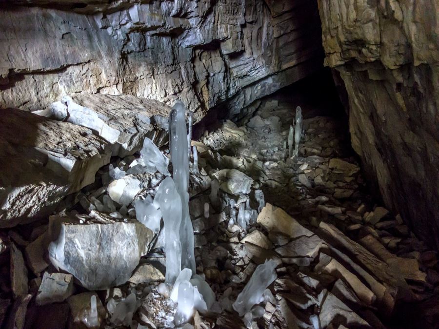
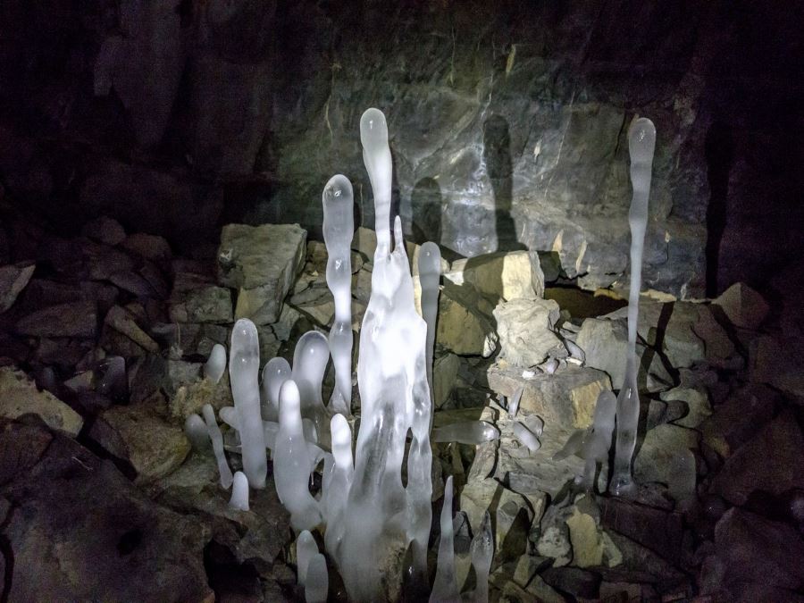
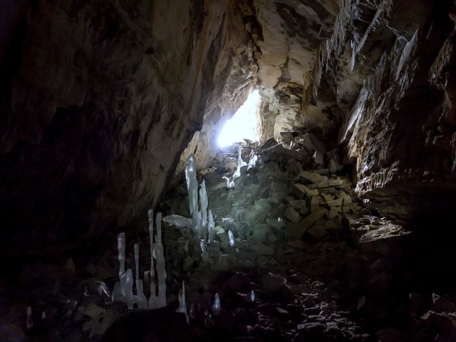
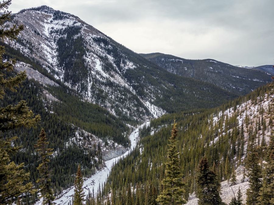
The Canyon Creek Ice Cave is a fairly deep cave sandwiched between Prairie and Moose Mountains. Its depths maintain a fairly cold temperature year round and as a result some pretty large and fascinating ice formations have developed. From the trail head you can see the cave as a black scar a few hundred meters below the ridge line.
The access road was closed in 2000 due to a large number of accidents with day-trippers not being prepared to enter the cave.
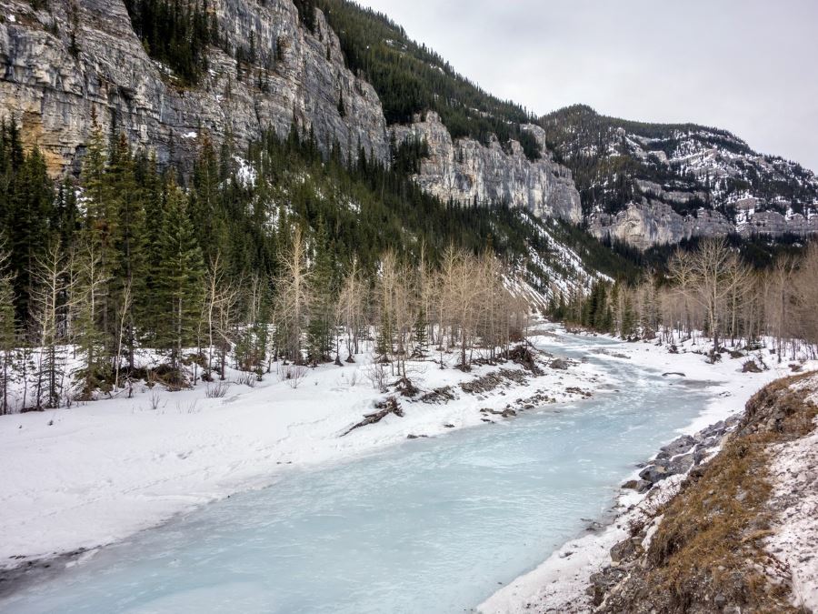
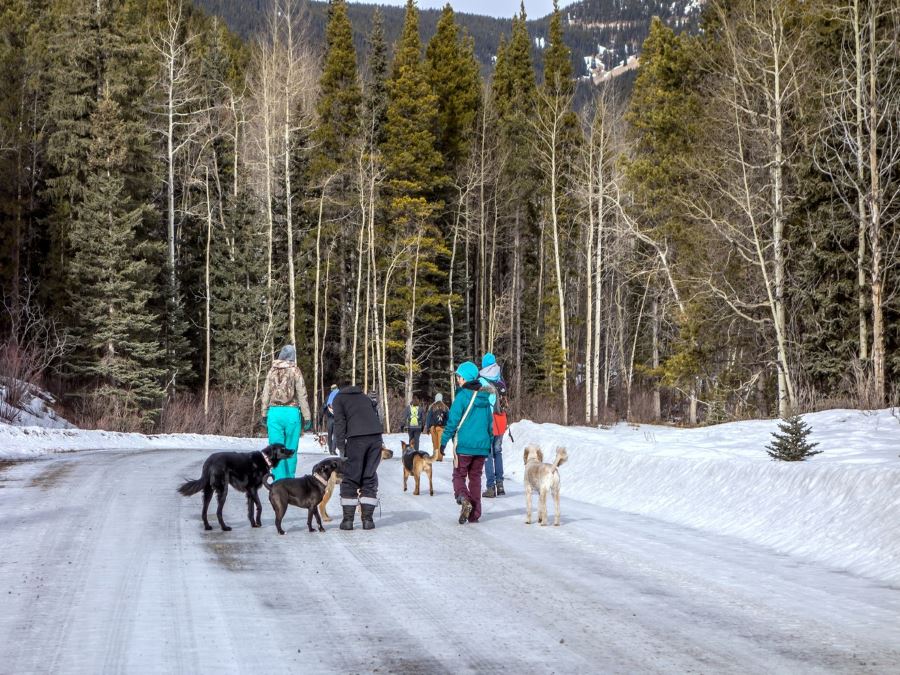
We’ll be honest, the first 3.7mi is nothing to write home about compared to our other hikes. We follow a road closed to motor vehicles through the forest before reaching the good stuff. In the summer the wild flowers and wild life are the highlights of this early stretch. Don’t be surprised if you come across mountain goats, marmot and pikas on route.
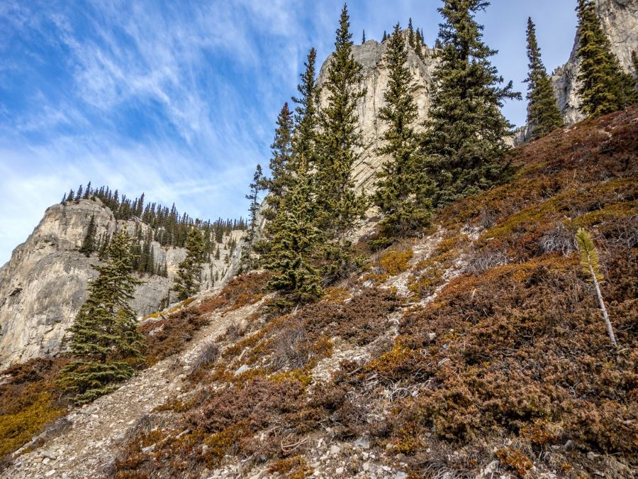
As you leave the road and join the trail to gain elevation you will note the trails seems to branch off in a number of different directions. We found after some exploring that almost all will link back up immediately before we reach the cave. Try to follow the most well defined path as we did and you should not have any issues. The walk up is relatively steep, and depending on your path you may find some scree, but we gauge it more difficult physically than technically.
As you reach the entrance take a few minutes and put on your safety gear and turn on your headlamp. It is going to get dark! While there are close to 0.3mi of tunnels in this cave, we recommend novices stick to the first 0.0mi of the main cavern.
Insider Hints
To safely navigate the cave we strongly recommend you bring headlamps, rock helmets, warm clothing, and backup lighting. Consider bring a two-way radio.
The caves can be slippery, consider traction devices.
Do not be tempted to drop down the steep rock slope down to the access road.
Consider bringing a bike to shorten the time necessary to travel the access road and get straight to the good stuff.
Similar hikes to the Canyon Creek Ice Caves hike
Gorge Creek Loop
Hiking the Gorge Creek Loop requires some route knowledge and a bit of extra effort as it is not as…
Powderface Creek Trail
The Powderface Creek trail in Kananaskis is a popular hiking, biking, and horseback trail, so be aware of traffic when…
Barwell Trail
Hiking the Mount Barwell Trail is a half to full day effort that is very rewarding. With minimal crowds and…


franimal 4 years ago
Mild weather around zero degrees with light flurries during our time on the trail. First 10km or so along gravel road. Mild incline Once you enter the forest an area and begin to climb. Once you get out of the forested area mild scree that can be slippery. Beautiful view once you reach the cave. The cave itself was dark. Bring flashlights and head lamps. Possible to explore cave if you are not adverse to confined spaces. Beautiful cave regardless. Enjoy!
franimal 4 years ago
Mild weather hovering around zero with light flurries during our time on the trail. First 10km or so along gravel road. Mild incline Once you enter the forest an area and begin to climb. Once you get out of the forested area mild scree that can be slippery. Beautiful view once you reach the cave. The cave itself was dark. Bring flashlights and head lamps. Possible to explore cave if you are not adverse to confined spaces. Beautiful cave regardless. Enjoy!
kristinoutdoors 4 years ago
Hiked this route covered in snow! The scenery was spectacular with the snow, even though most of the trail is down the forestry road. We saw a couple of XC skiers, so that's an idea in the winter to cut down the trail time. Poles would be helpful for the last part of the trail as it's a bit steep and slippery near the cave, especially with snow/slush. Well worth the trip! The cave is super cool.
Richy_travels 5 years ago
I hope they could add more route signage here.
Allanhoward 5 years ago
Canyon Creek Ice Caves are interesting. The caves are somehow slippery, so take extra care.
DesireeD. 5 years ago
The forestry road is somehow a long walk. But when you reached the cave, it is interesting and awesome.
havedogwillhike 5 years ago
had no idea this existed, bless random website scrolls i guess. honestly pretty dull until right about near the end, but the cave is really cool!
Willow F. 5 years ago
This hike has a pretty large and fascinating ice formations. Don’t be surprised if you come across mountain goats, marmot and pikas along the way. Overall, the hike was fantastic.
Coll A. 5 years ago
Spectacular view of the snow. You can also bring a bike there. Don't forget your trekking poles as the trail is a bit slippery.
LyleM 5 years ago
The correct gear is very important. The cave is awesome. Bring a headlamp. Conditions in the cave are good with a few slippery areas and the occasional bit of groundwater. There are many side passages and squeezes to explore.