
Walter Orr Roberts Weather Trail
View Photos
Walter Orr Roberts Weather Trail
Difficulty Rating:
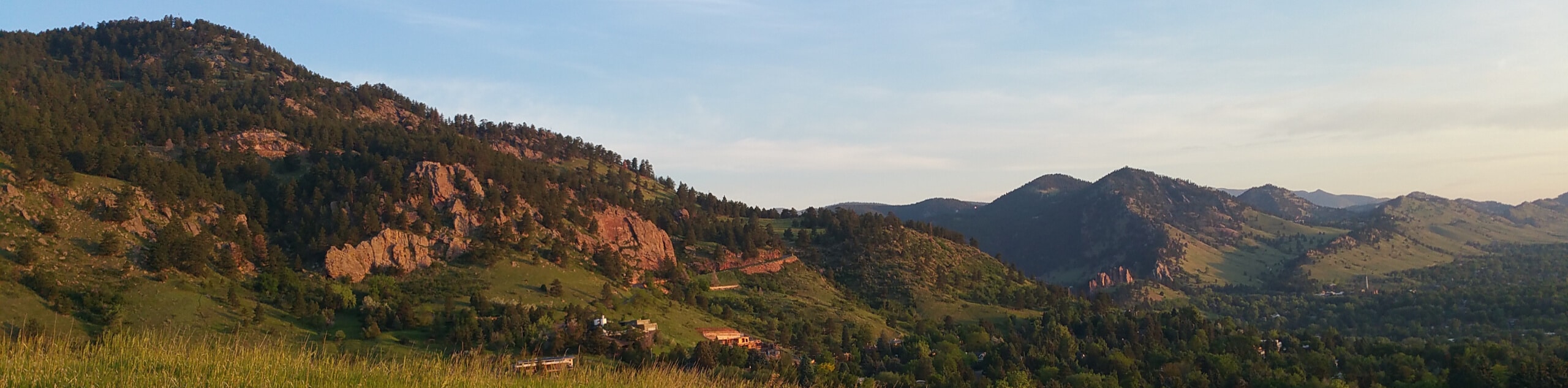
Perfect for a family-friendly adventure, the Walter Orr Roberts Weather Trail guides adventurers through meadowlands and ponderosa pines. Lined with interpretive signs, learn more about the area’s flora and fauna as you venture through the stunning Colorado wilderness.
Getting there
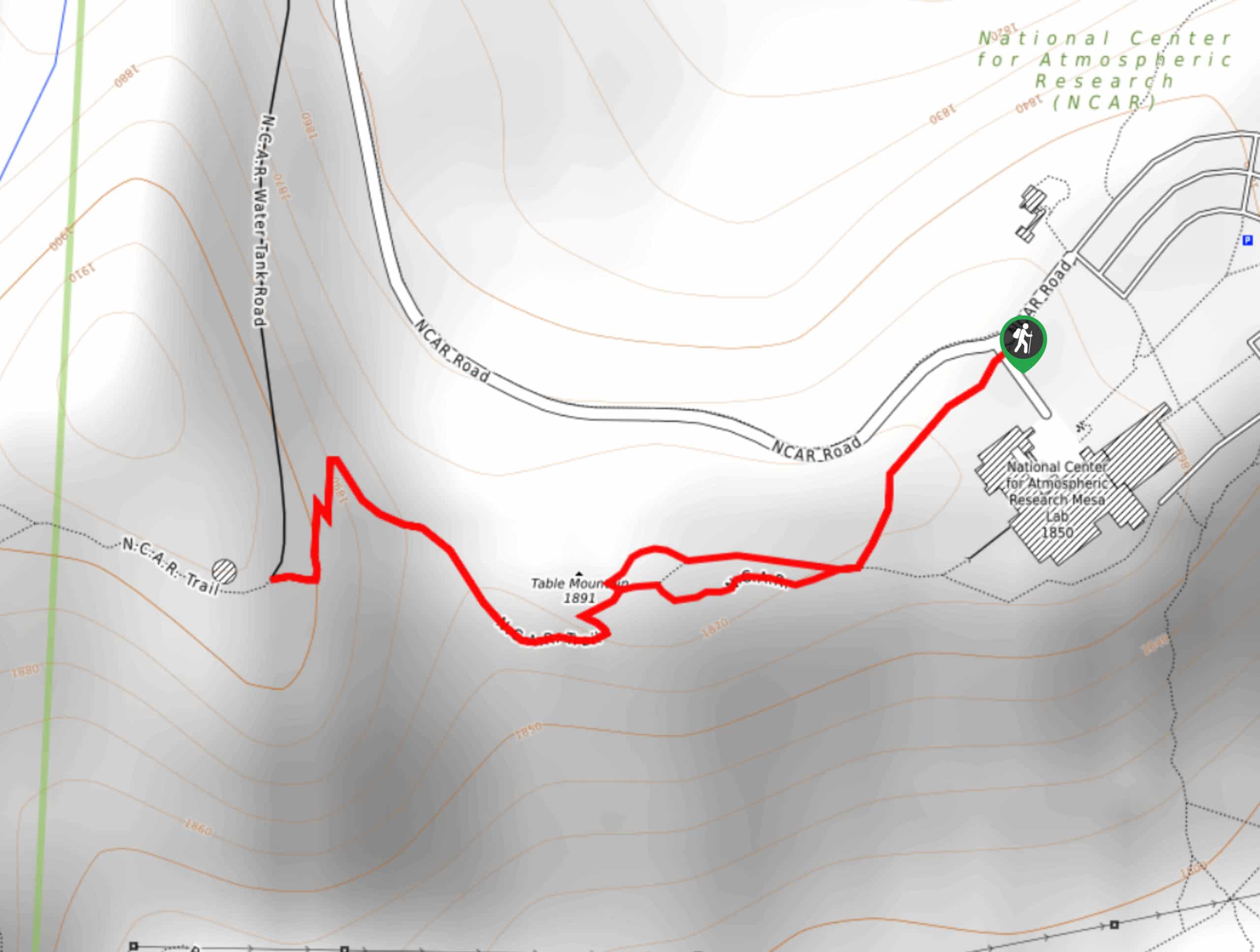
The Walter Orr Roberts Weather Trail departs from the NCAR Trailhead off the NCAR Road.

About
| Backcountry Campground | No |
| When to do | Year-round |
| Pets allowed | Yes - On Leash |
| Family friendly | Yes |
| Route Signage | Average |
| Crowd Levels | Moderate |
| Route Type | Lollipop |
Walter Orr Roberts Weather Trail
Elevation Graph
Weather
Walter Orr Roberts Weather Trail Description
The Walter Orr Roberts Weather Trail is a wonderful adventure for the whole family. Escape the hustle and bustle of the city and escape into the wilderness. Traveling through meadowlands, this path can be unbearably hot in the summer months, so consider an early morning adventure to beat the heat and the crowds for that matter. In the warmer months, it is also important to be mindful of sunbathing rattlesnakes in the grasslands. Open year-round, this path can be enjoyed equally as much in the winter months—just track on a pair of snowshoes.
Begin your journey along the Walter Orr Roberts Weather Trail from the NCAR Trailhead. From here, track south along the NCAR trail past the impressive buildings of the laboratories. Soon after your departure from the trailhead, you will encounter an intersection. Keep right here and track up to the summit of the small Table Mountain. From here, enjoy sights of the foothills and the Flatirons looming above before you enter the woodlands.
Continue hiking west along the trail beneath the shade of ponderosa pines before confronting another junction—this is your turnaround point. Enjoy the shade and the sights of the NCAR building as you begin backtracking. At the next intersection, keep right and loop around the NCAR Trail back to the trailhead, marking the end of your hike.
Similar hikes to the Walter Orr Roberts Weather Trail hike

Crown Rock Trail
The Crown Rock Trail is a short but sweet nature walk that presents the perfect excuse to get the family…
Chautauqua, Bluebell and Baird Trail
Immerse yourself into nature and get some fresh air along the Chautauqua, Bluebell and Baird Trail. Conveniently located just outside…
Bluebell, Woods Quarry, and Enchanted Mesa Loop
The Bluebell, Woods Quarry and Enchanted Mesa Loop is a charming nature walk in the Boulder Open Space. Conveniently located…
Comments