South Boulder Peak hike
View Photos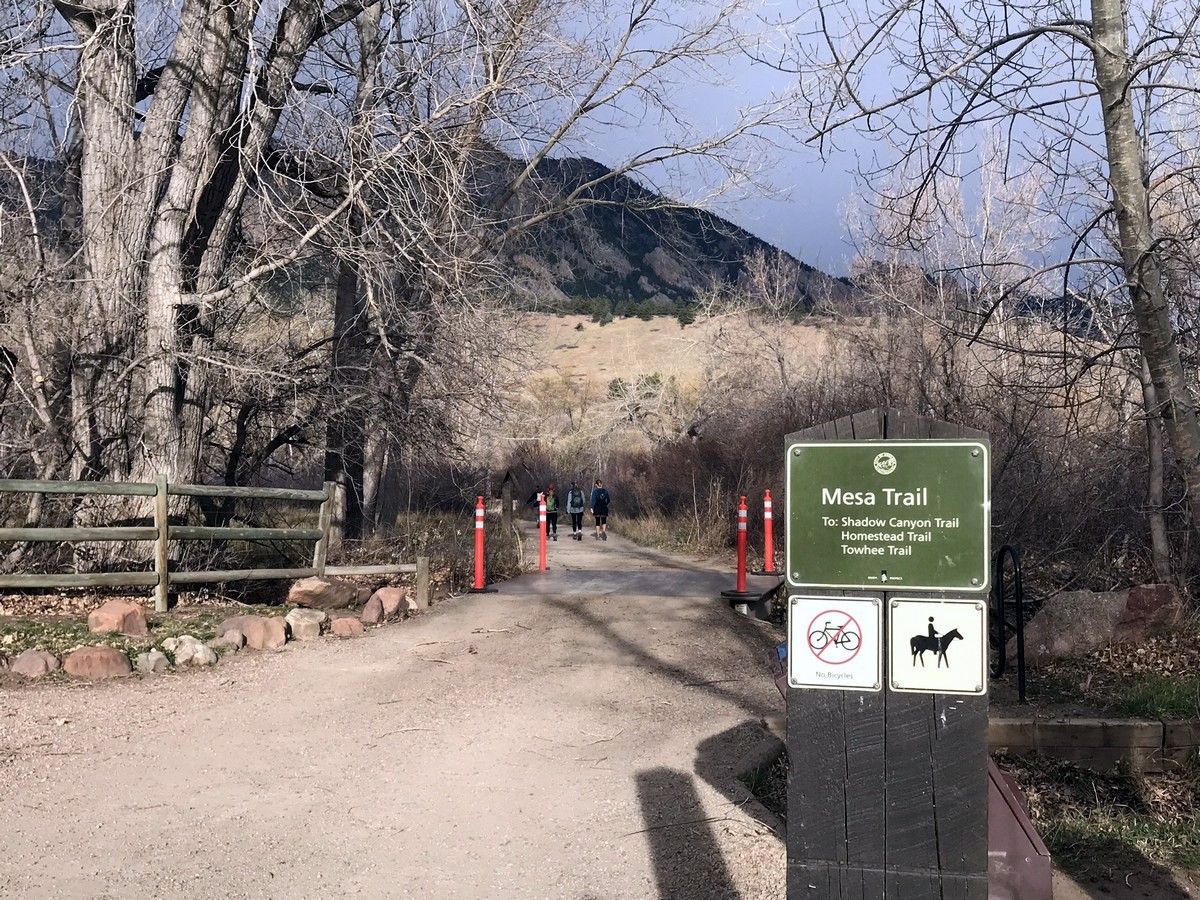
South Boulder Peak hike
Difficulty Rating:
The South Boulder Peak hike takes you to Boulder’s highest peak. This is a somewhat strenuous hike, taking you through a patch of recently burned forest. The views from the summit of South Boulder Peak are well worth the climb!
Getting there
From Boulder head south on 93 towards Golden. At a traffic light, head west on Eldorado Springs Dr. (170) until the signs for South Mesa Trailhead and the parking lot become visible on the north side of the road.

About
| When to do | Year round |
| Backcountry Campsites | No |
| Toilets | Yes, primitive pit toilet |
| Family friendly | No |
| Route Signage | Average |
| Crowd Levels | Moderate |
| Route Type | Out and back |
South Boulder Peak
Elevation Graph
Weather
Route Description for South Boulder Peak
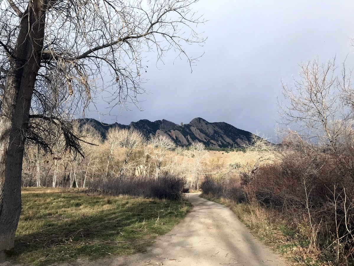
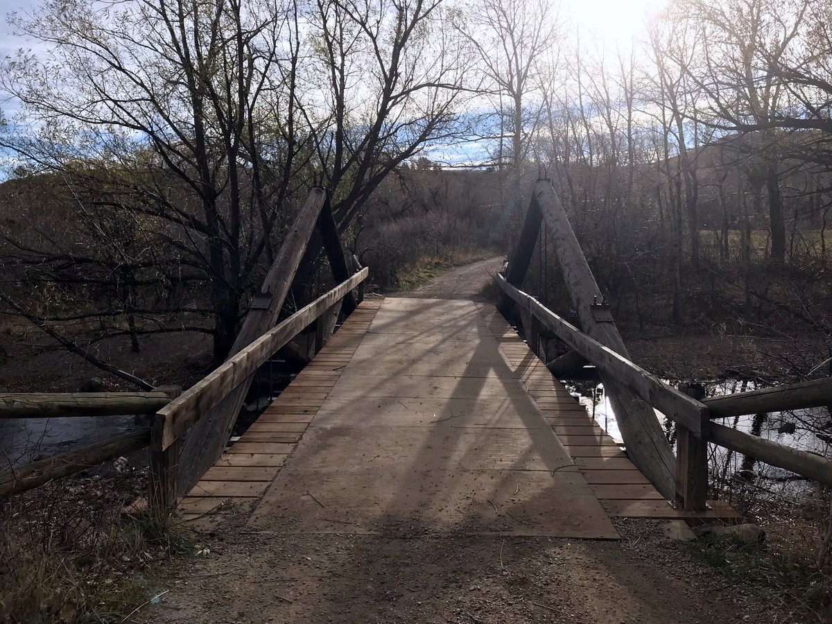
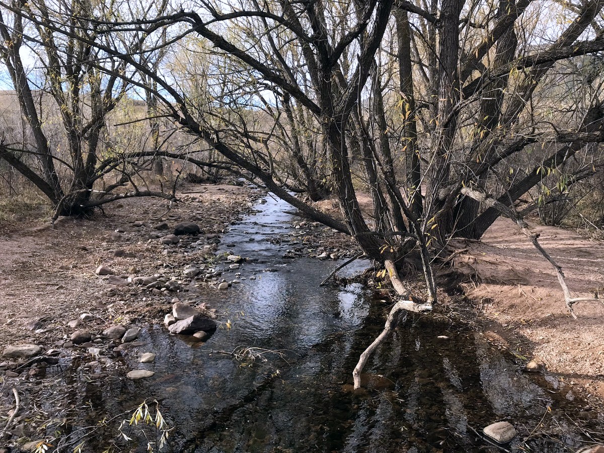
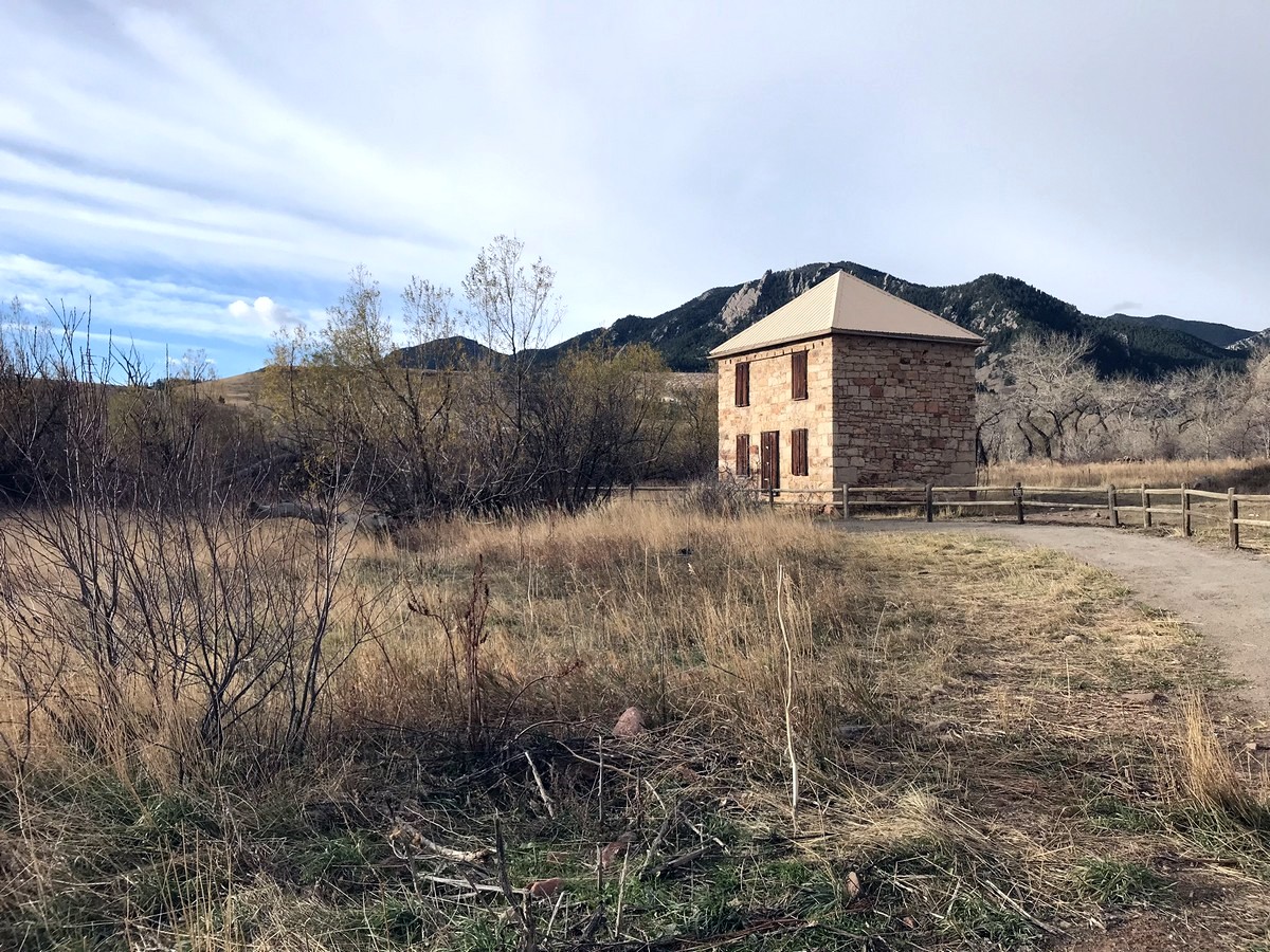
Begin the hike from the South Mesa Trailhead via the Mesa Trail. Cross a small bridge over South Boulder Creek and hike past an old ranch house.
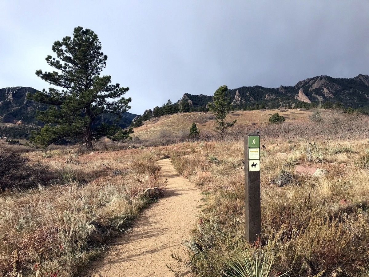
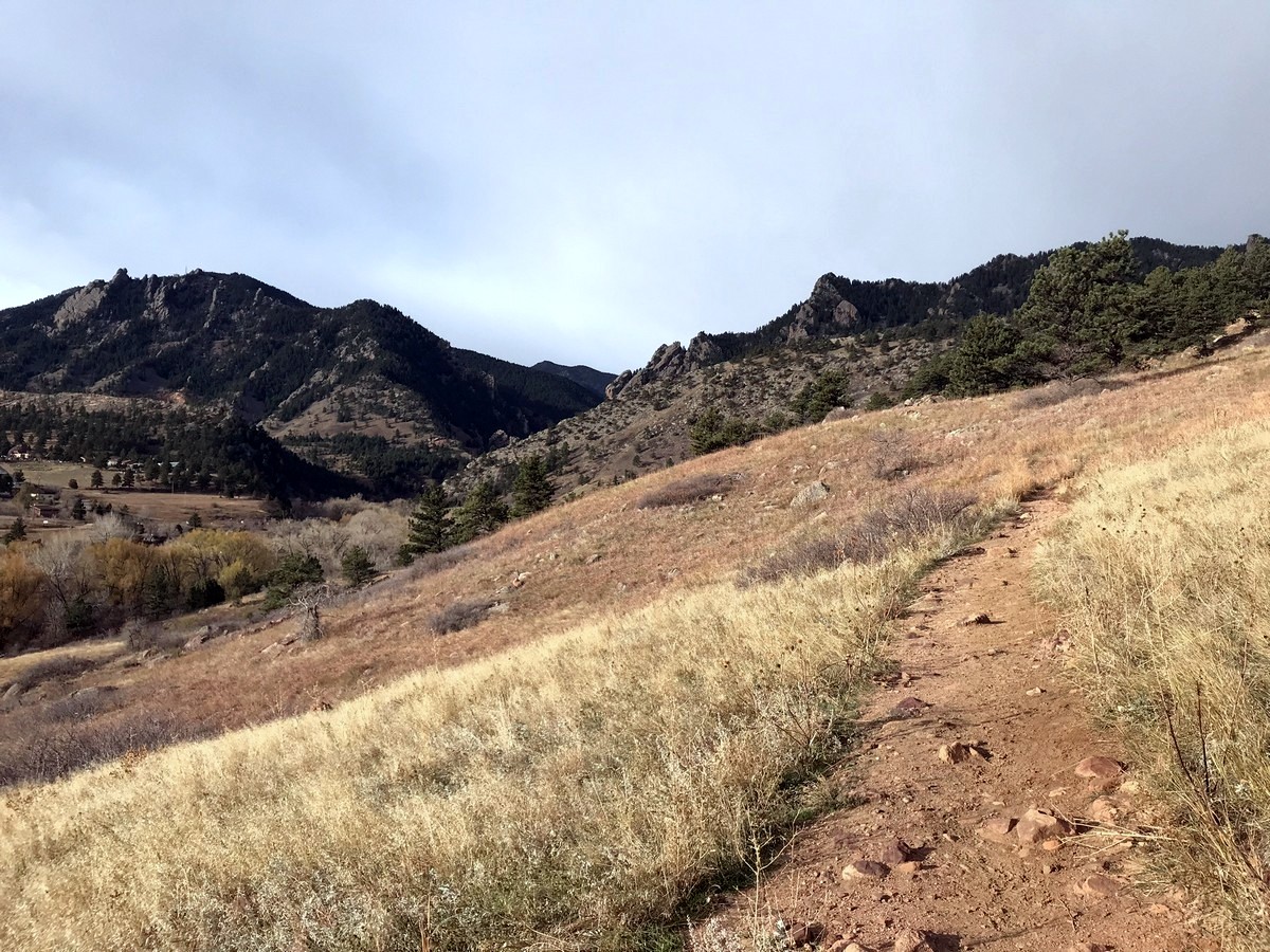
Take hikers left, onto Homestead Trail. After approximately 1 mile, Homestead Trail reconnects with the wide and maintained Mesa Trail. Quickly, you will arrive at a junction in the trail; stay left as you merge onto Shadow Canyon South Trail. This is also a wide and maintained trail which gradually climbs to the beginning of Shadow Canyon and an old cabin.
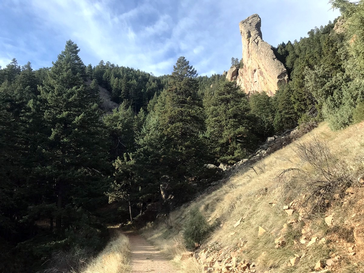
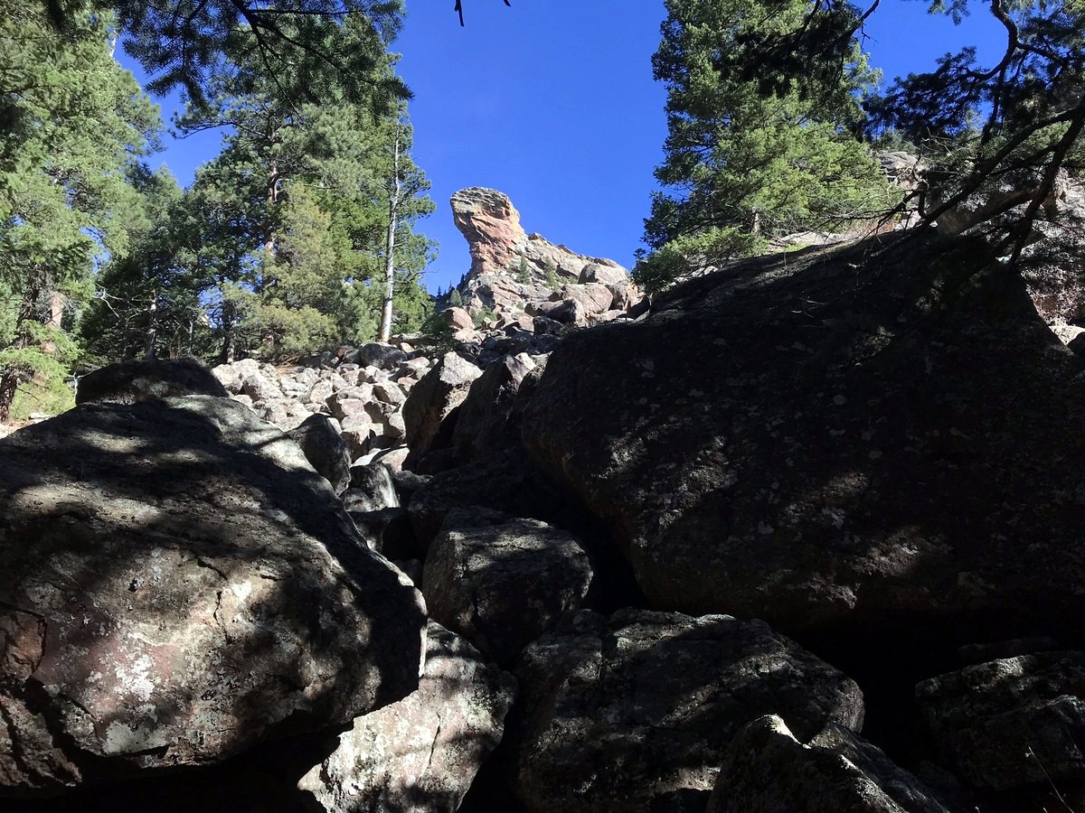
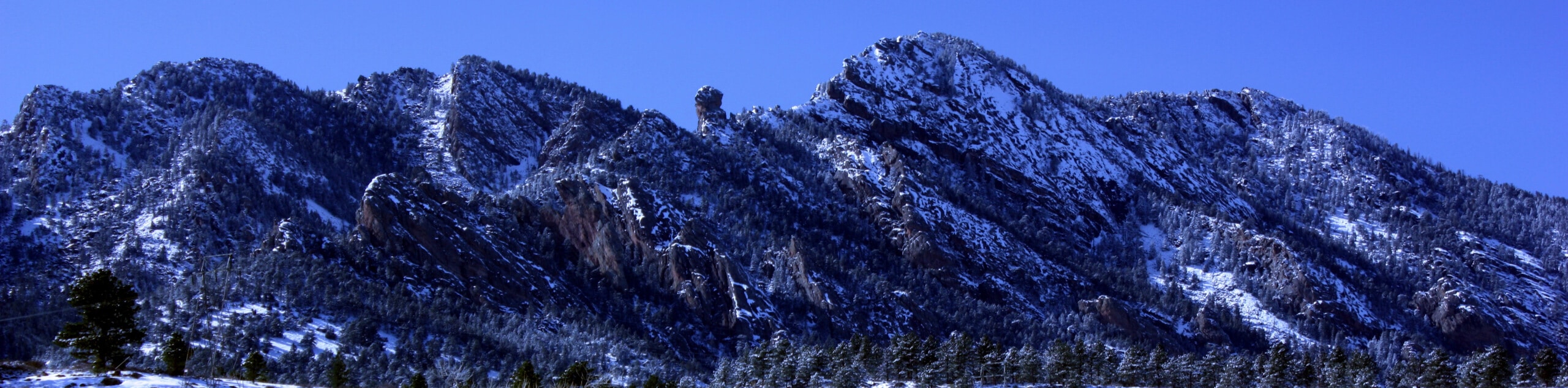
Shadow Canyon is a steep and strenuous hike that quickly gains elevation. Large boulders and thick forest make this section of the hike seem secluded and adventurous. Peeking through the trees, you can occasionally spot Devil’s Thumb sticking out over the rocky ridge above. The steep hiking and switchbacks, lead you into a burned section of forest from a recent wildfire.
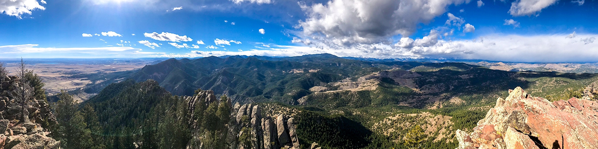
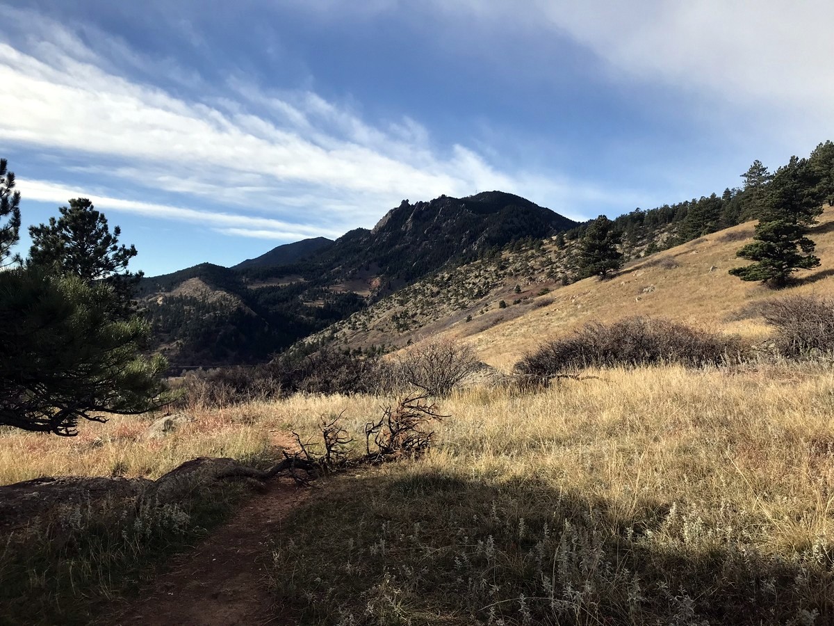
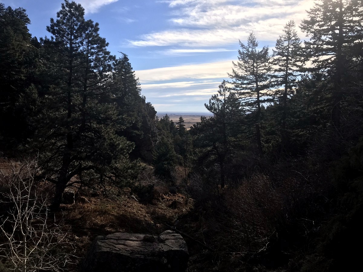
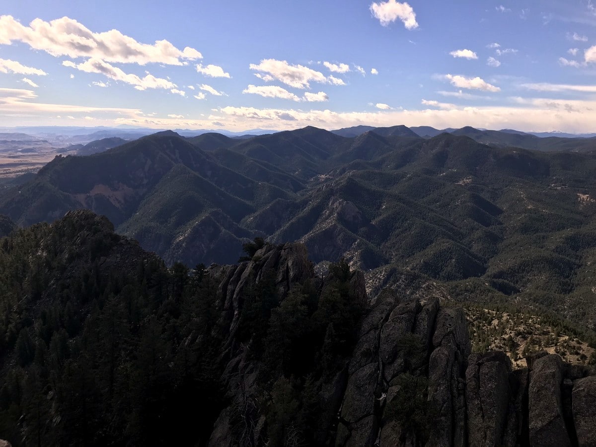
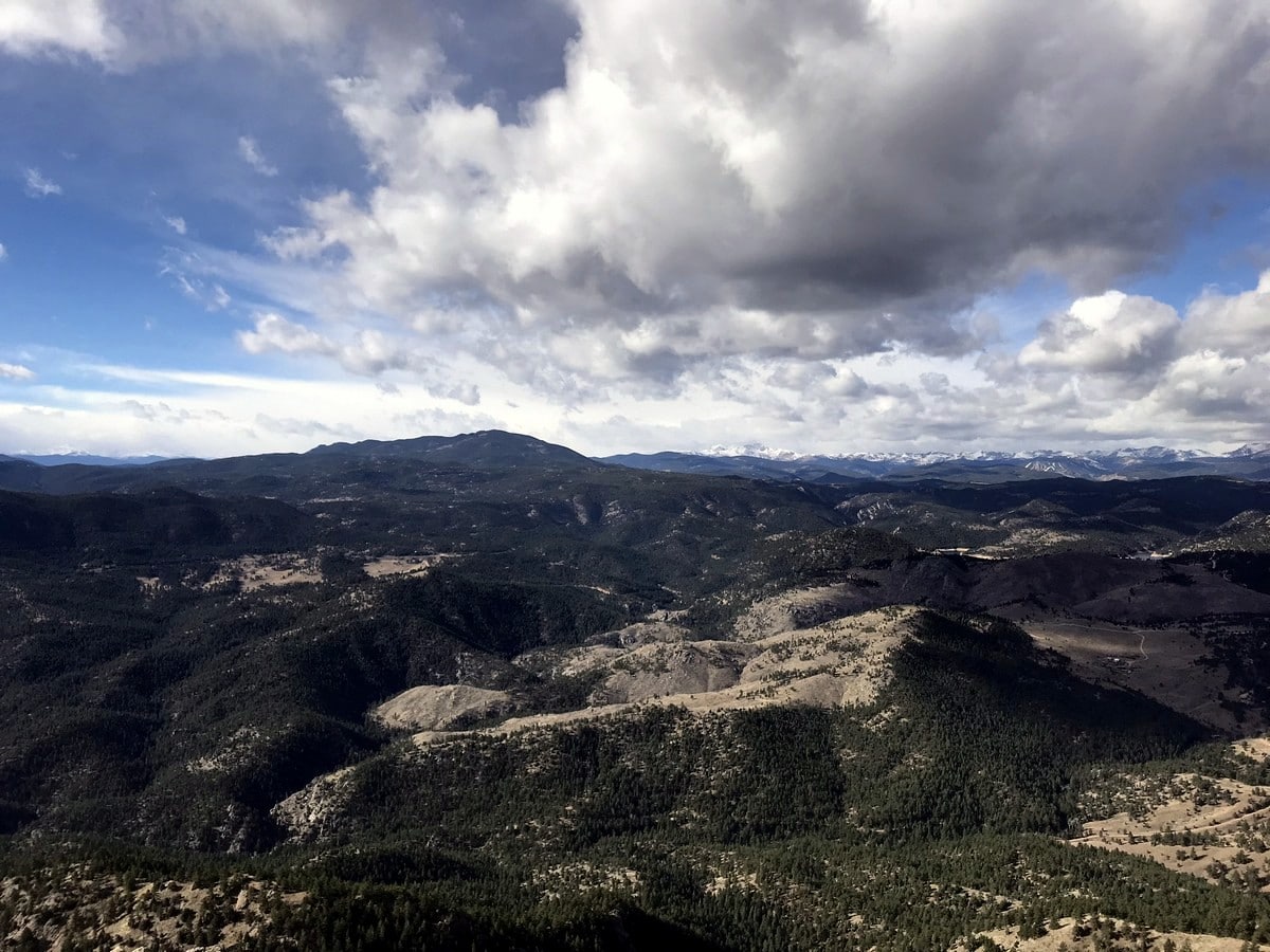
Eventually, you reach the saddle between South Boulder Peak (8549ft) and Bear Peak (8459ft). A sign post indicates the way, taking you left at the T-junction in the trail. After a little more climbing, the trail becomes rocky as you head to the summit. Unlike its close neighbor, Bear Peak, the summit of South Boulder Peak can be easily reached. From the summit, panoramic views of the area are jaw-dropping!
To descend, hike back the way you came.
Find more amazing hikes around Boulder:
Insider Hints
Pay to Park at the trailhead unless your vehicle is registered in Boulder.
Shadow Canyon will retain snow and ice for longer periods of time, so plan your hike accordingly, giving sufficient time after a winter storm for it all to melt.
Bear Peak and South Boulder Peak can be combined into one hike for a great day out!
South Boulder Peak is one of the five tallest peaks along the Boulder Front Range, which can all be linked via the Skyline Traverse.
South Boulder Peak, with its considerable elevation gain, is considered excellent training for hikers aspiring to step up to the 14ers (Colorado summits >14000ft above sea-level).

Similar hikes to the South Boulder Peak hike

NCAR to Fern Canyon Hike
The NCAR to Fern Canyon Hike is an awesome but challenging adventure up to the summit of Nebel Horn. Put…
Bear and South Boulder Peaks Loop
Looking for a demanding but rewarding hike near Boulder? We’ve got you covered. The Bear and South Boulder Peaks Hike…

Rattlesnake Gulch Trail
The Rattlesnake Gulch Trail is an epic adventure through the Eldorado Canyon State Park. Ascend the steep cliffs of Eldorado…
Stevie M 4 years ago
It was well worth the visit. It is an easy hike between bear peak and south boulder, the two can be done pretty easily in one hike.
Lux L. 4 years ago
Awesome hike despite the fact that most trees of the burned forest still haven't recovered.
Anabelle Clyde 4 years ago
What an absolutely fantastic trail! This trail starts out very easy and wide.
Sammy L. 4 years ago
The view is worth the steep hike to the top, great hike! Definitely recommend
Jasper Herrera 5 years ago
It's not easy to get to the summit. This hike requires a certain amount of stamina. Not the best but absolutely stunning.
merry g. 5 years ago
Strenuous climb not advisable for everyone, but I won't stop those who are capable.
Michael L. 5 years ago
Gorgeous hike with some challenges. Shadow Canyon was the most challenging part. Glad we had some trekking poles, they really helped a lot.
Jericho D. 5 years ago
Invigorating views. This is one of the best hikes in Boulder. Absolutely awesome 10/10.
Ruel Z. 5 years ago
Great hike! The weather was perfect and the sun was shining so brightly. Trails were somehow challenging but not that hard.
Jay Adams 5 years ago
Be careful because the trail has some rocky sections. Gorgeous views of the Canyon.