Mount Sanitas hike
View Photos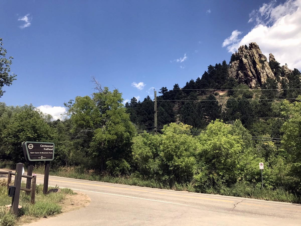
Mount Sanitas hike
Difficulty Rating:
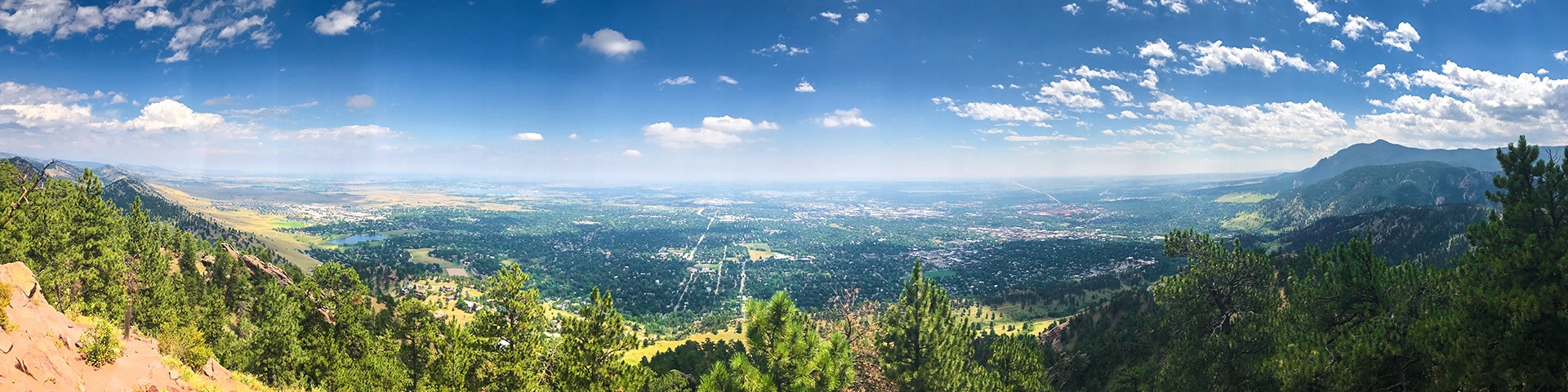
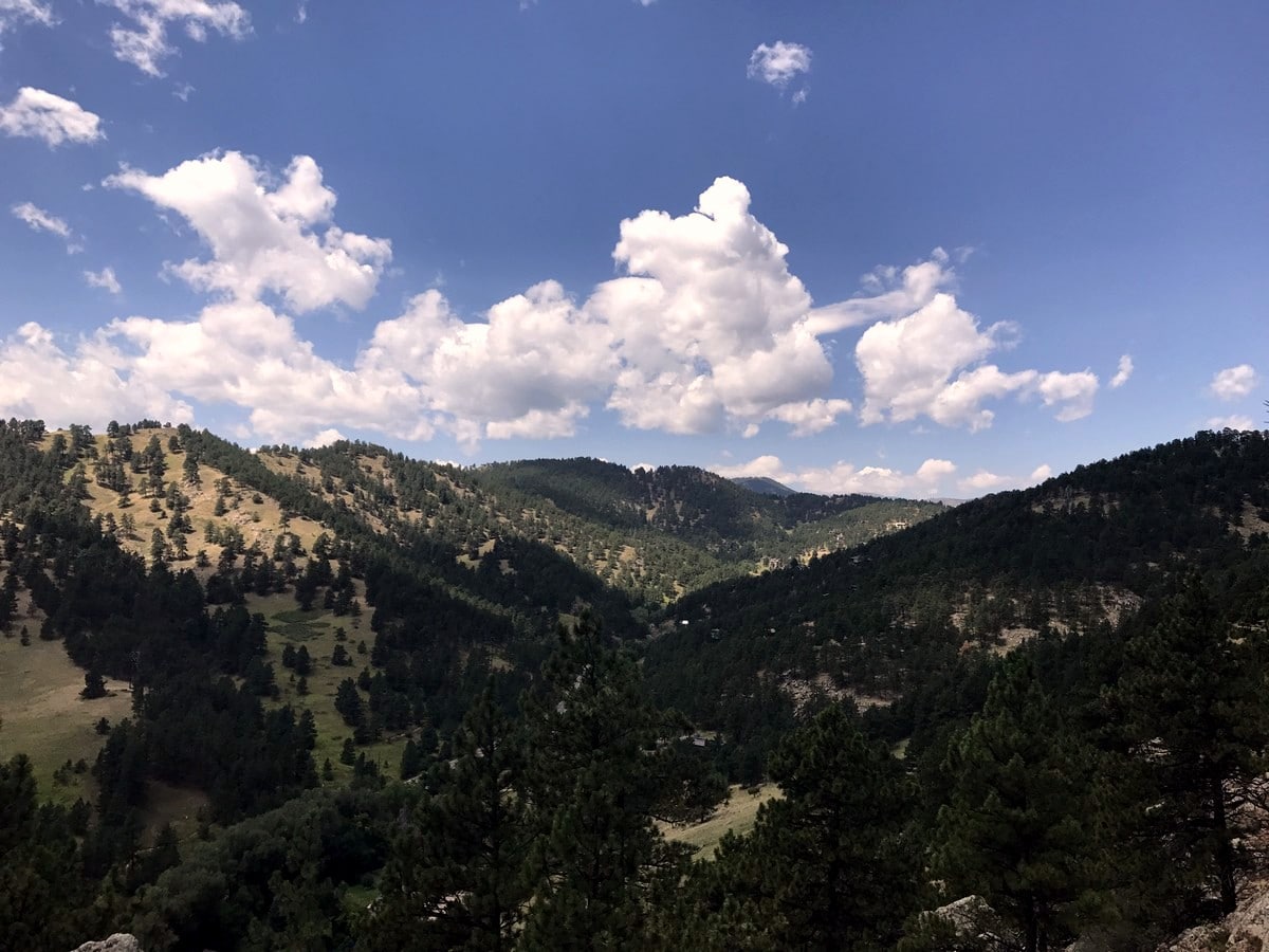
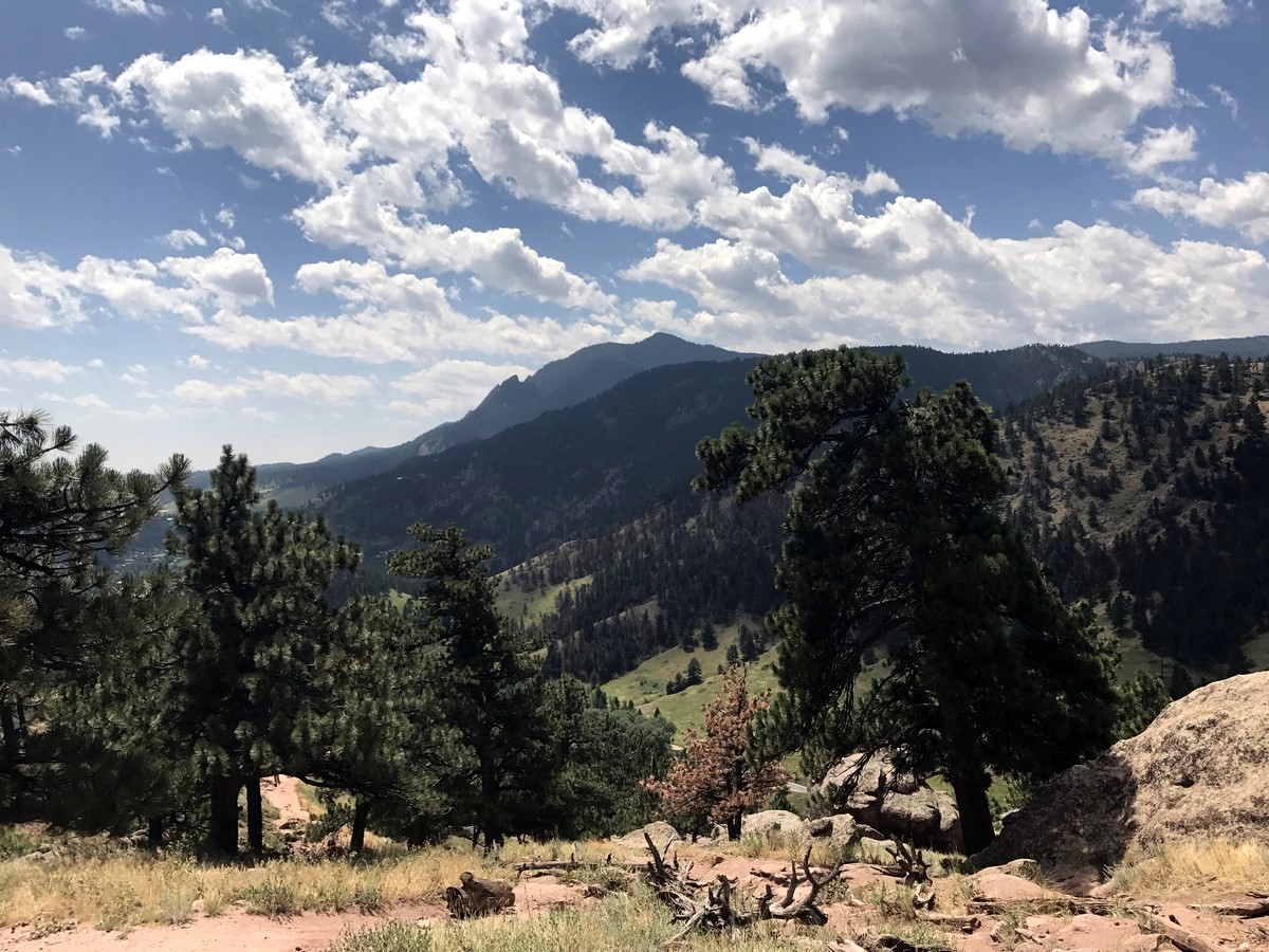
The Mount Sanitas hike is a popular route just outside of Boulder. This hike takes you along a rocky ridge line with great views of Boulder Valley from the rapid (read: leg burning!) elevation gain before reaching the summit of Mt Sanitas.
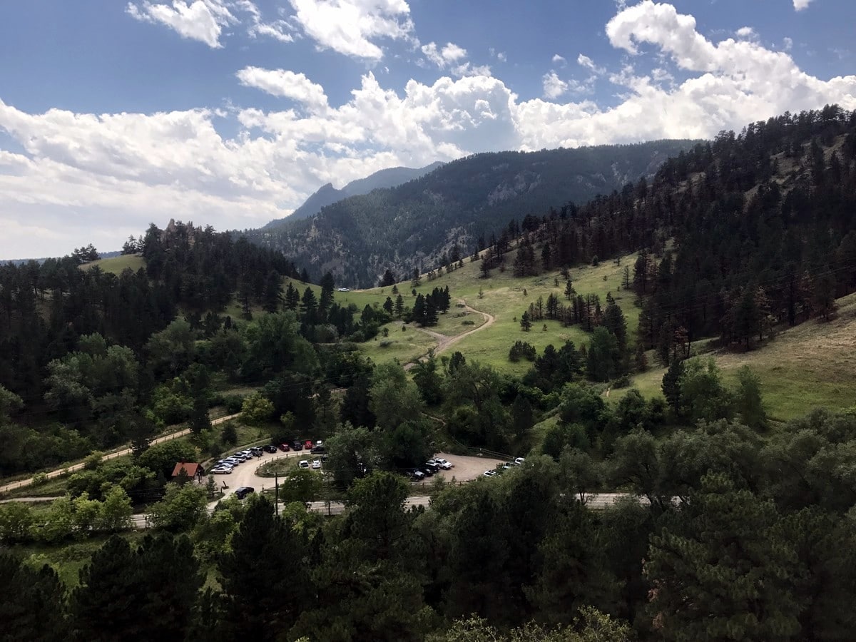
Getting there
Take Sunshine Canyon Dr. to Centennial Trailhead/Mount Sanitas Trailhead. Parking lot is on the south side of Sunshine Canyon Dr.

About
| When to do | Year round |
| Backcountry Campsites | No |
| Toilets | Yes, primitive pit toilet |
| Family friendly | Yes |
| Route Signage | Average |
| Crowd Levels | High |
| Route Type | Circuit |
Mount Sanitas
Elevation Graph
Weather
Route Description for Mount Sanitas
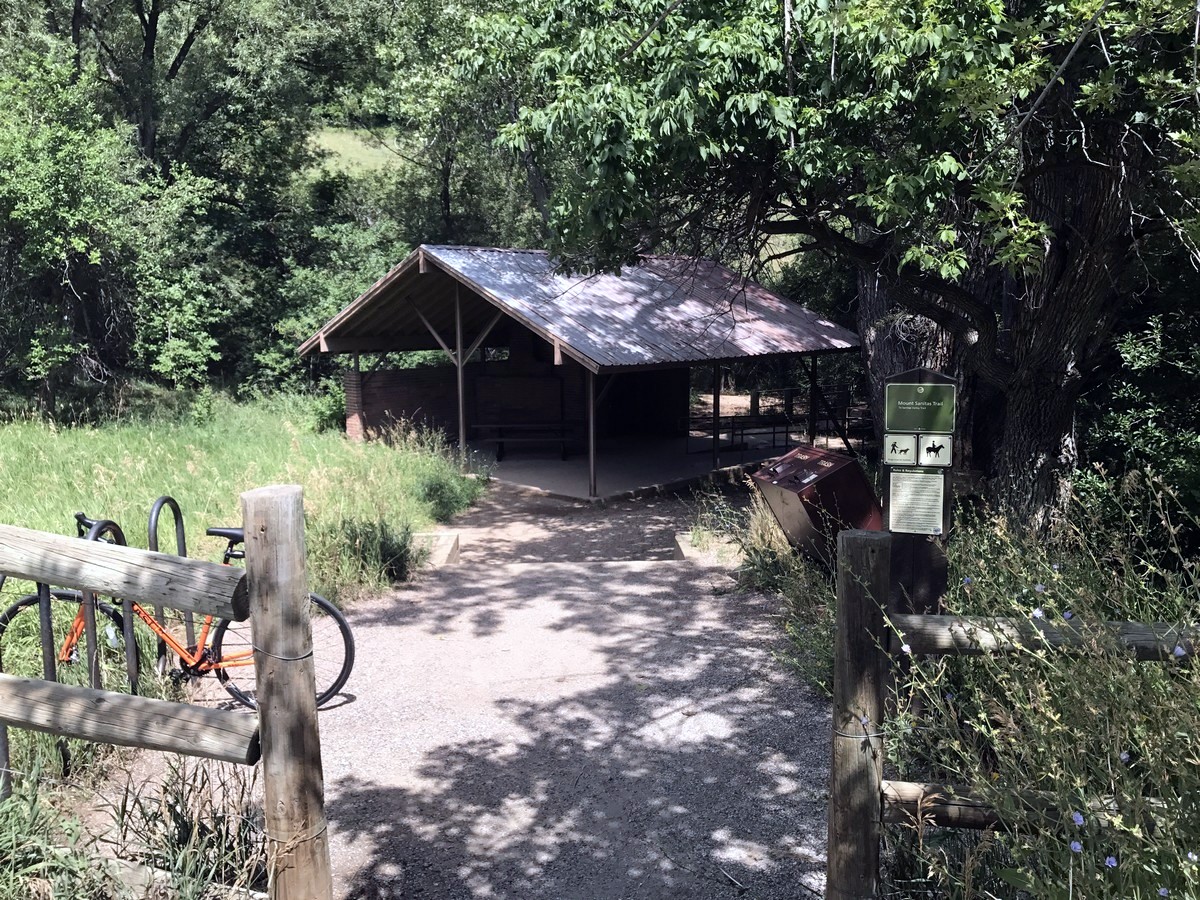
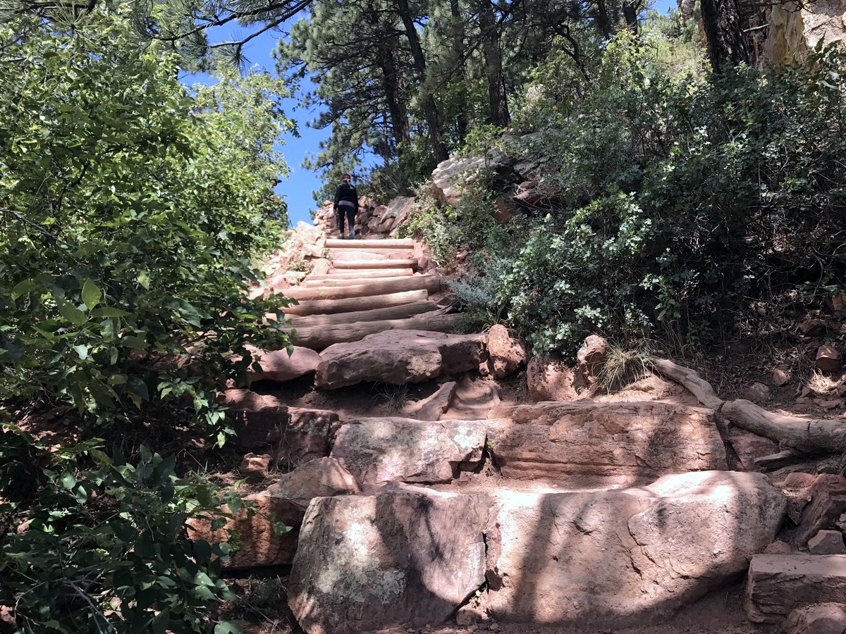
From the Centennial Trailhead parking lot, cross the street to begin the hike up Mt. Sanitas Trail, which goes to the left, up the ridge.
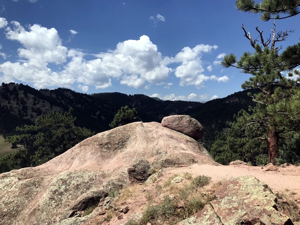
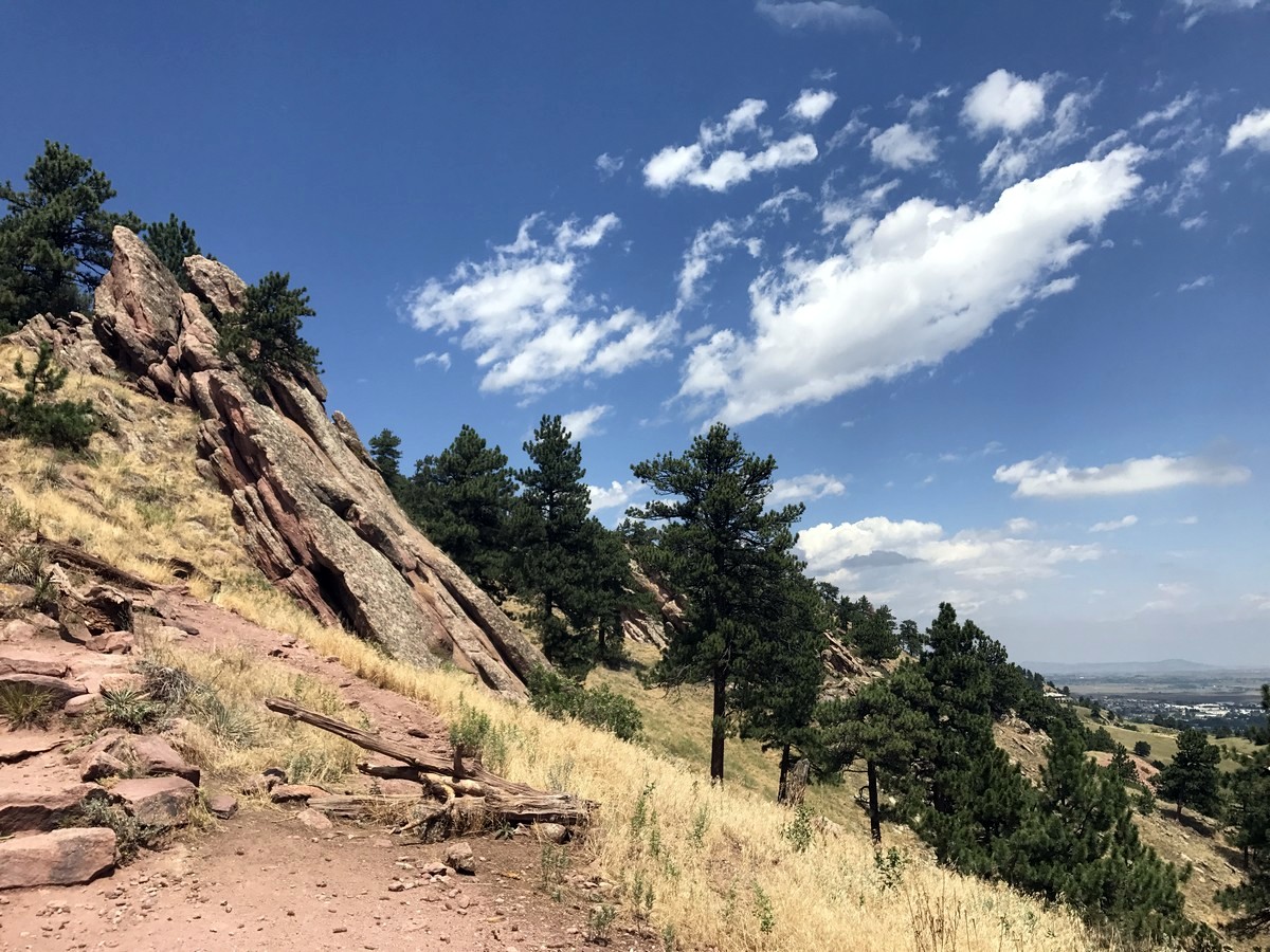
This steep climb starts as soon as you hit the trail, with leg burning high steps going up stairs and rocks. The Mt. Sanitas Trail follows along a rocky ridge line which divides Sunshine Canyon with Boulder Valley.
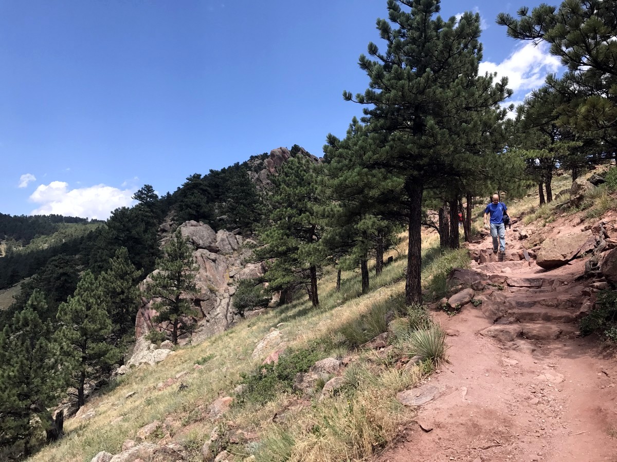
Skirting along the ridge, you hike from one side to the other as you make your way up to Mount Sanitas. There are a couple of very steep, rocky sections which will get your heart-rate up as you ascend these sections. There is nothing too technical or exposed on this hike, but just a nice cardio workout as you climb to the summit.
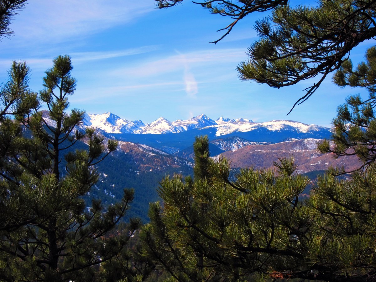
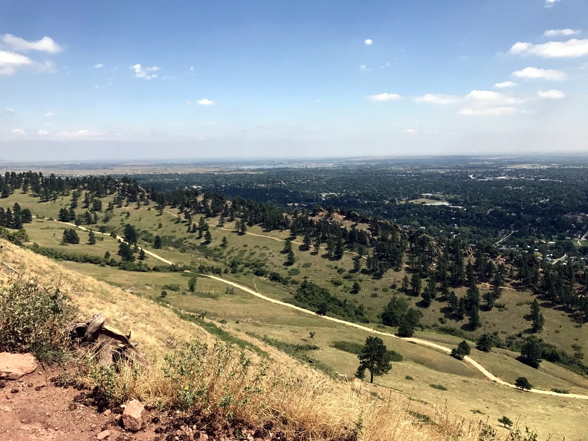
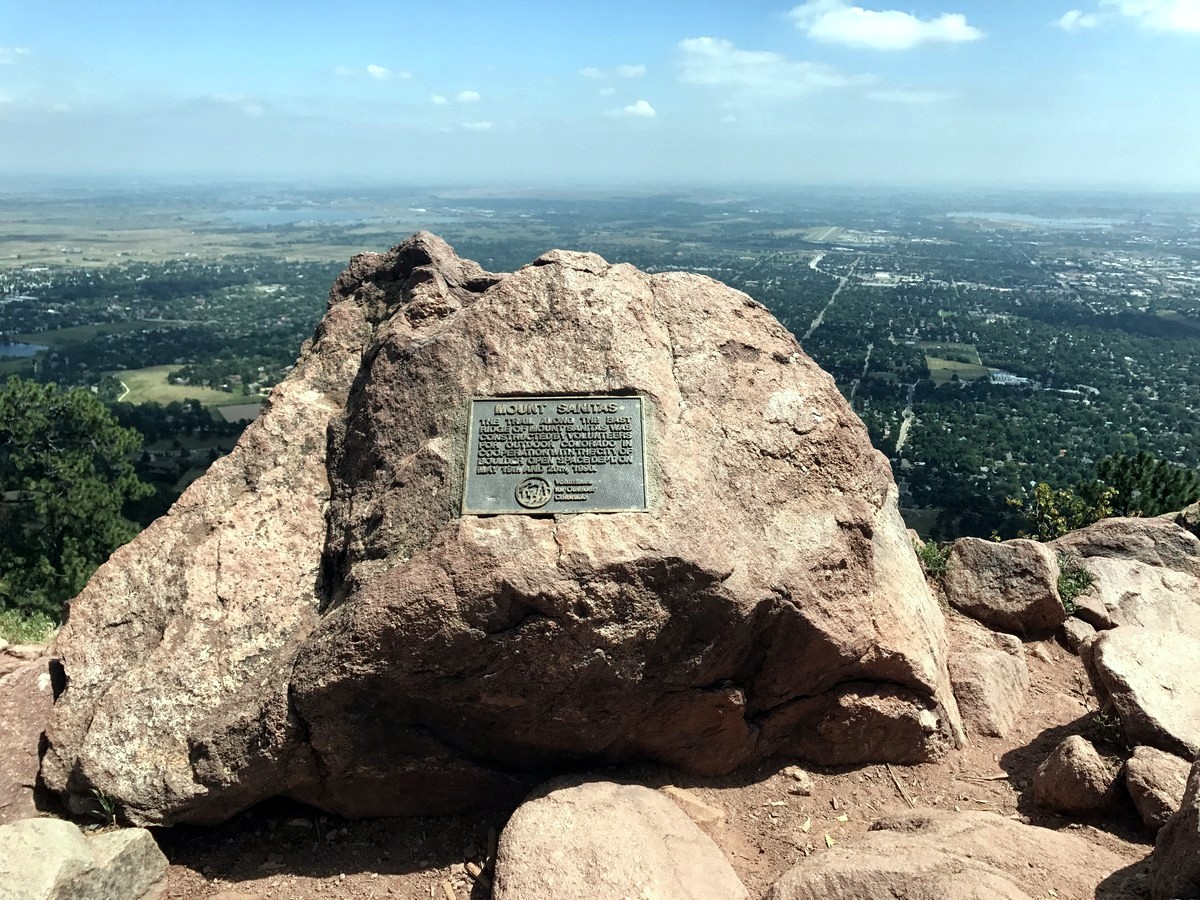
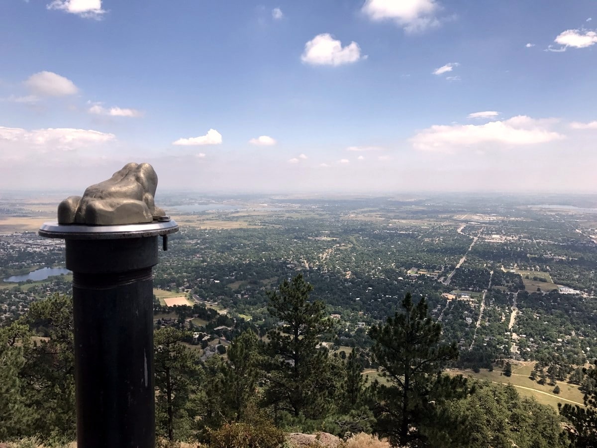
Soon you’re at the summit of Mount Sanitas (6863ft). This is a great resting point that offers expansive views of Boulder Valley. If you’re adventurous, consider trying to catch sunrise from this wonderful viewpoint.
To descend, start by heading down the East Ridge Trail from the summit of Mt Sanitas. The East Ridge Trail is a short, but fun hike down and you eventually merge with the wide gravel Sanitas Valley Trail which you can take all the way back to the trailhead.
Another option (we prefer) is taking the Dakota Ridge Trail, which branches off soon after the Sanitas Valley Trail heads South. This Dakota Ridge trail offers more single track along another rocky ridge. It continues parallel to the Sanitas Valley Trail almost all the way back to the trail head.
As the Dakota Ridge Trail veers left to head into Boulder, be sure to turn right to connect back to the Sanitas Valley Trail and your car!
Find more amazing hikes around Boulder:
Insider Hints
From Centennial Trailhead, you can also hike to the Boulder Red Rocks via Red Rocks Trail.
After completing this hike, swing over to Sanitas Brewing for a well-deserved drink!

Similar hikes to the Mount Sanitas hike

NCAR to Fern Canyon Hike
The NCAR to Fern Canyon Hike is an awesome but challenging adventure up to the summit of Nebel Horn. Put…

Crown Rock Trail
The Crown Rock Trail is a short but sweet nature walk that presents the perfect excuse to get the family…

Rattlesnake Gulch Trail
The Rattlesnake Gulch Trail is an epic adventure through the Eldorado Canyon State Park. Ascend the steep cliffs of Eldorado…
BoulderBound 4 years ago
Quite steep climb but there are good spots to rest. Good to work out some muscles. Wonderful views at the top
Tiffany Swift 4 years ago
Nice views of boulder. Feels refreshing on the top. Decent hike but very rocky & steep. Just be ready for a bit of challenge.
mendel 4 years ago
This place is a wonderful gift from heaven! I hope they preserve its beauty!
Sammy L. 4 years ago
A great little hike and the kids enjoyed it
Annie Smith 5 years ago
Nice hike, Mount Sanitas was great.
Peggy Rosie 5 years ago
I enjoyed Mount Sanitas a lot. There were a lot of people but no one was pushing or rushing. Great atmosphere.
SJ 5 years ago
Mt Sanitas was a great hike for the views and to get the legs moving.
Mikey 5 years ago
mount sanitas hike was cool. i actually met a couple of guys that work in the brewing. and needless to say they invited me to go there the same evening. we had a great time.
Reagan Jaz 6 years ago
Moderate hike with remarkable views! The nearby peaks looks incredible!