Boulder Creek Path
View Photos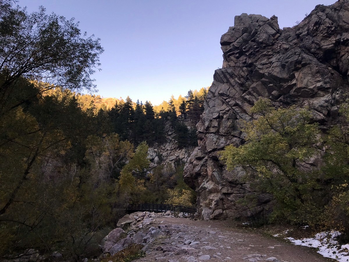
Boulder Creek Path
Difficulty Rating:
Taking a hike along Boulder Creek Trail is a perfect family-friendly hike through Boulder Canyon along Boulder Creek. With a paved trail at the start changing to a wide gravel trail, it is perfect for a hike with the family or a down day from the other bigger climbs in the Boulder area!
Getting there
Take Arapahoe Ave. to Eben G. Fine Park. Free parking is available at Eben G. Fine.

About
| When to do | Year round |
| Backcountry Campsites | No |
| Toilets | Yes, primitive pit toilet |
| Family friendly | Yes |
| Route Signage | Average |
| Crowd Levels | Moderate |
| Route Type | Out and back |
Boulder Creek Path
Elevation Graph
Weather
Route Description for Boulder Creek Path
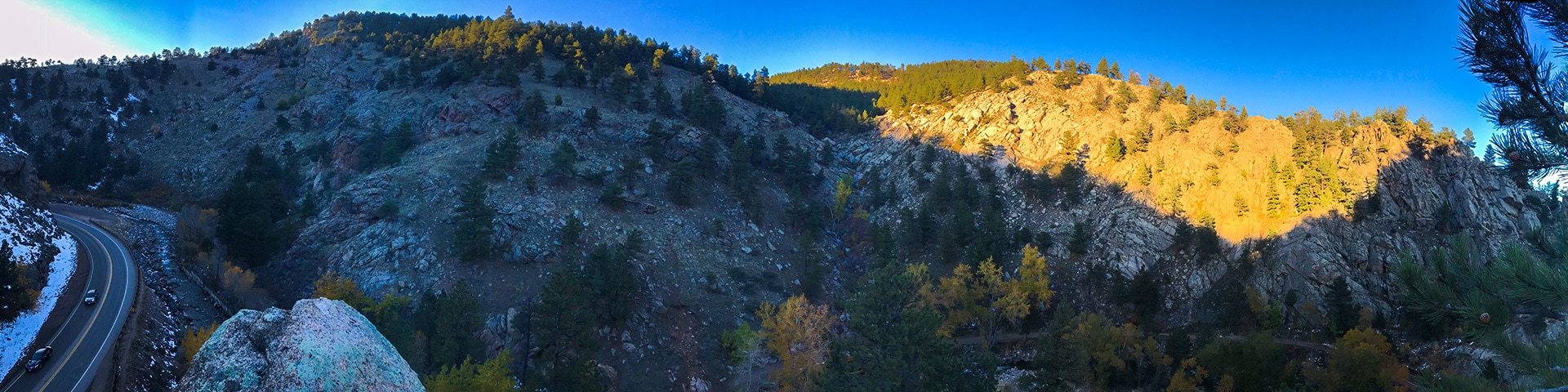
Boulder Creek Path runs straight through Eben G. Fine Park. This city park is a convenient start to this easy, family-friendly hike just outside Boulder.
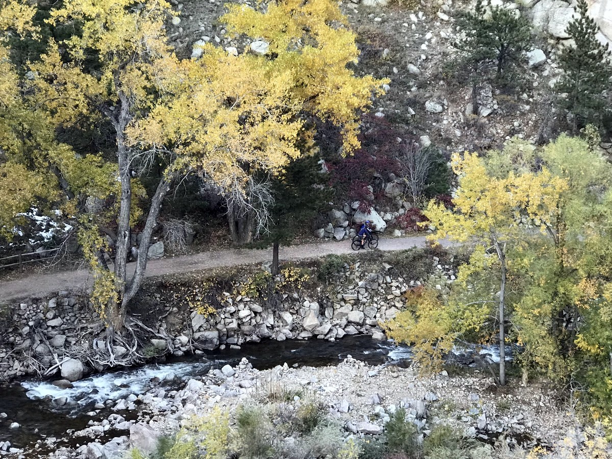
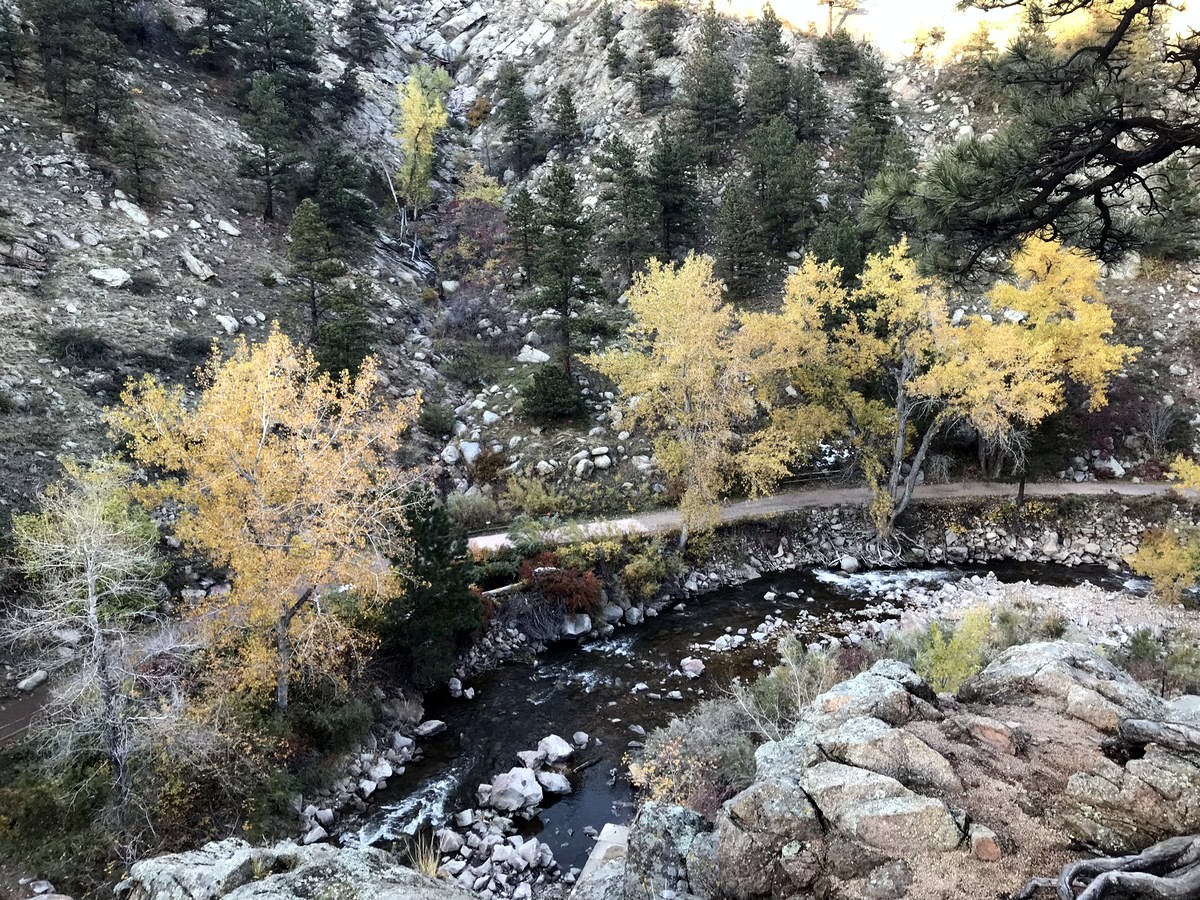
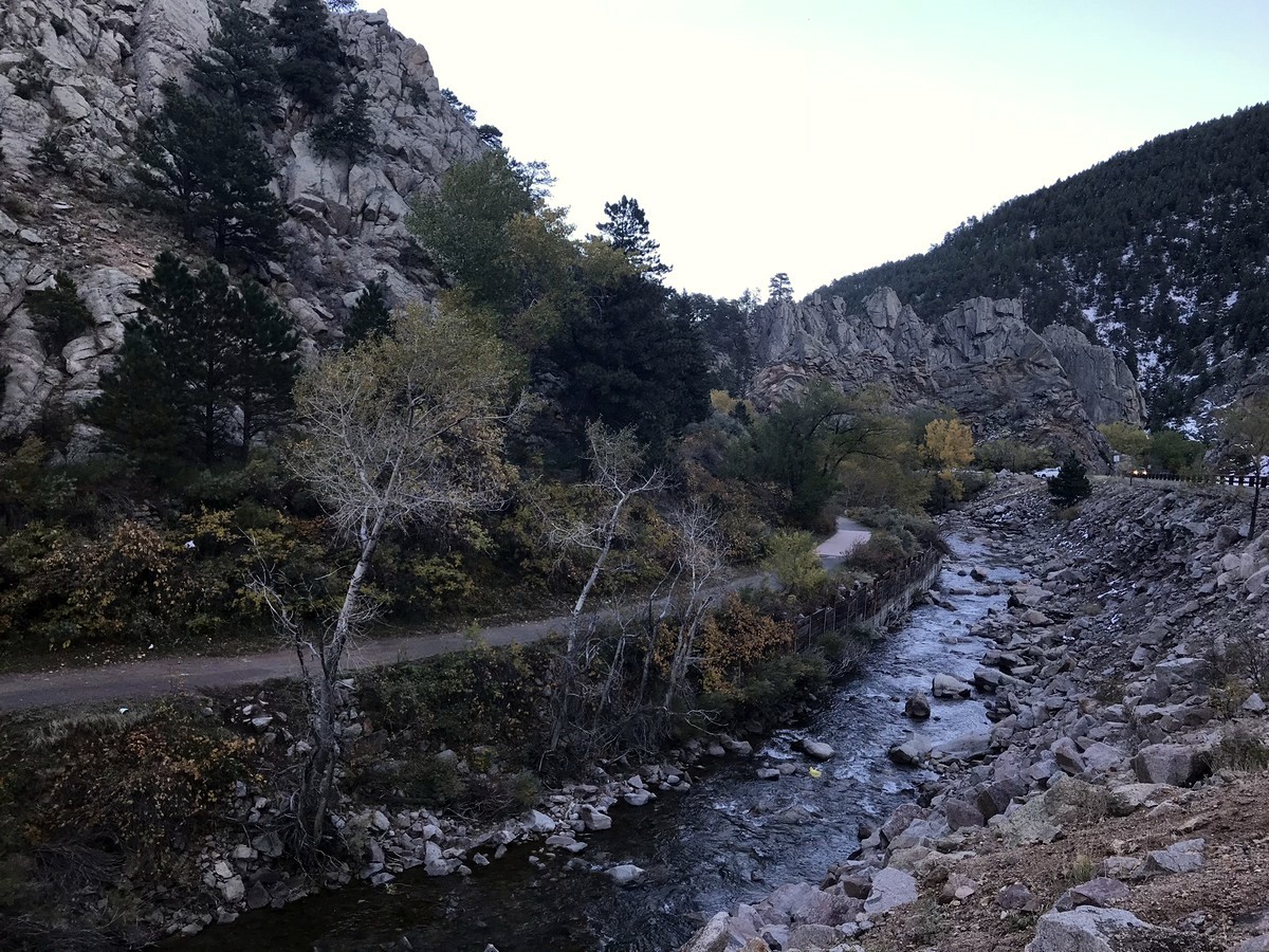
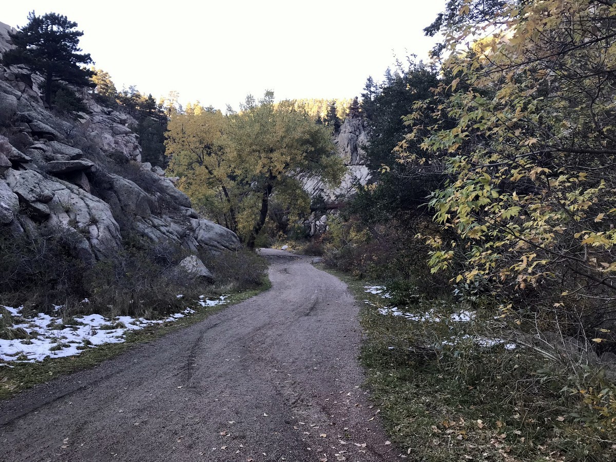
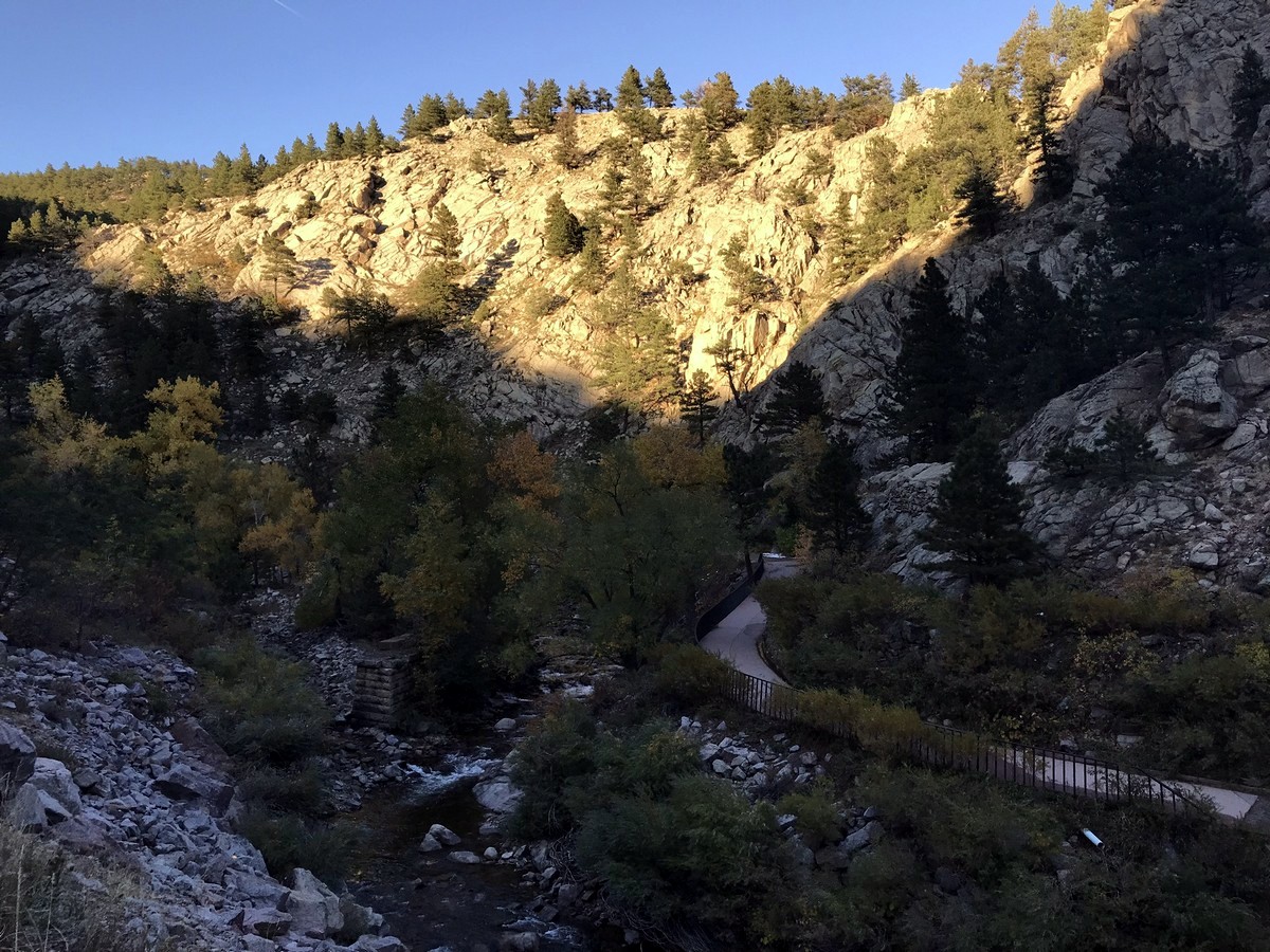
Take the Boulder Creek Path west towards Boulder Canyon. This section of the path is paved as it follows along the creek and eventually turns up Boulder Canyon. After running parallel with Boulder Canyon Dr., the path dips under the road and the paved path gives way to a wide gravel path which is also the start to the Boulder Canyon Trail. The trail also separates away from the road, giving you some distance from the noisy canyon traffic.
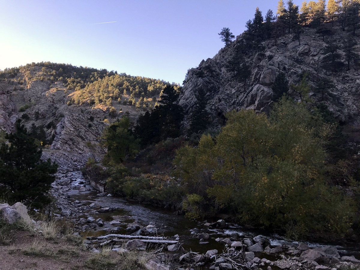
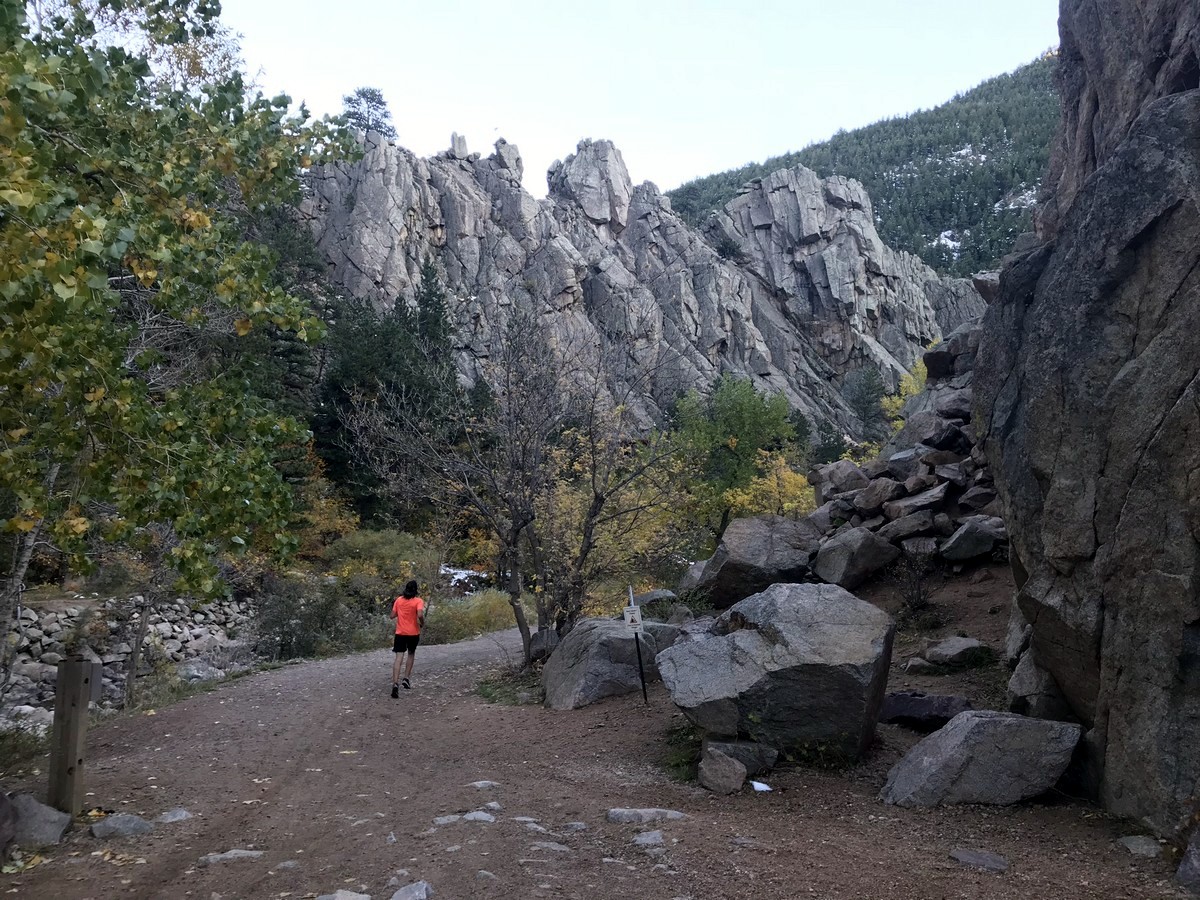
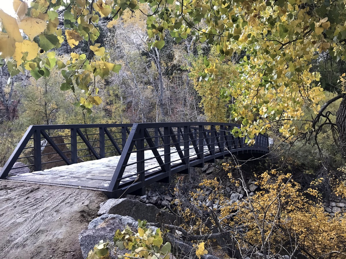
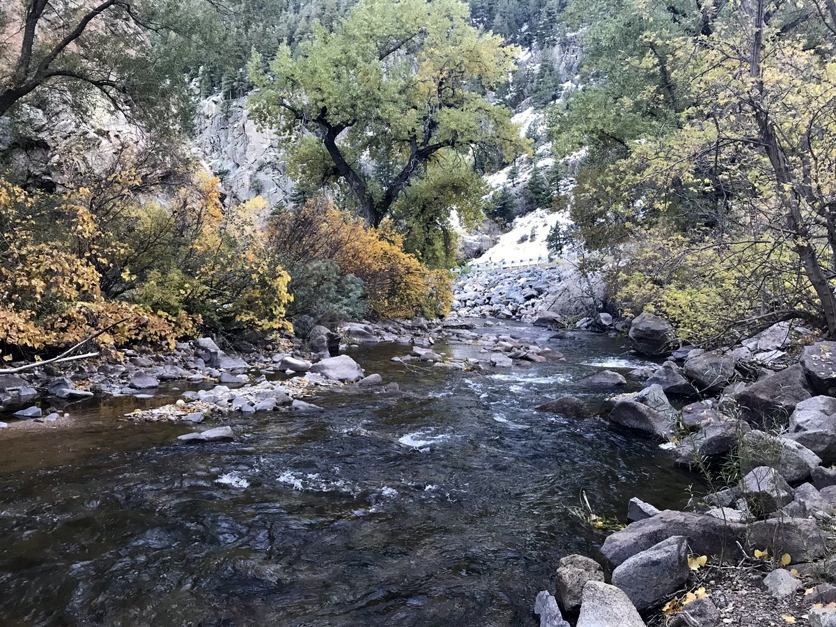
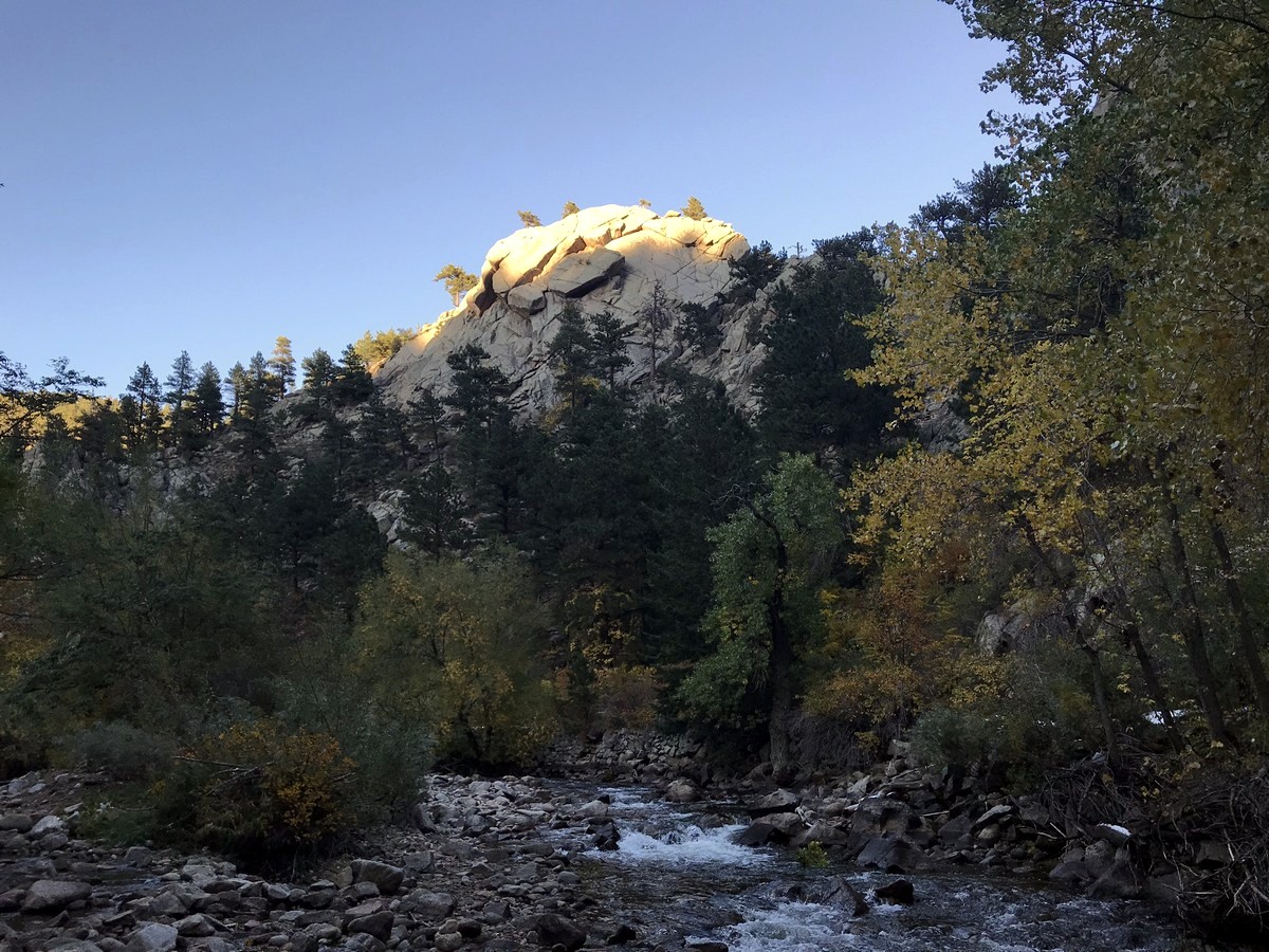
Once hiking along the Boulder Creek Path, you are hiking along Boulder Creek and are right next to large rock faces, which make up the canyon walls. The path takes you across a bridge and back under Boulder Canyon Drive as you continue the easy hike up the canyon. The trail ends at Fourmile Canyon.
To return, hike back the way you came.
Find more amazing hikes around Boulder:
Insider Hints
RTD bus service is available at the end of the trail at Fourmile Canyon.
This trail is easy and family friendly, and can also be biked.
Keep an eye out for rock climbers on the many tall canyon walls.

Similar hikes to the Boulder Creek Path hike

NCAR to Fern Canyon Hike
The NCAR to Fern Canyon Hike is an awesome but challenging adventure up to the summit of Nebel Horn. Put…

Crown Rock Trail
The Crown Rock Trail is a short but sweet nature walk that presents the perfect excuse to get the family…

Rattlesnake Gulch Trail
The Rattlesnake Gulch Trail is an epic adventure through the Eldorado Canyon State Park. Ascend the steep cliffs of Eldorado…
rosevalley 4 years ago
Easy hike with great views and low crowd. Perfect for intimate date hike.
TopherSan 4 years ago
Boulder Creek Path looks splendid with all the pleasant views.
BoulderBound 4 years ago
Great option for an easy hiking! This trail is really nice and easy with beautiful views.
Tiffany Swift 4 years ago
Stunning! The trail runs along a river through the steep mountains. One of the best hikes I have ever been on because of its beauty. Very easy trail and the views are incredible!
onoyuki 4 years ago
Good hike with pleasant views!
Mikey 5 years ago
boulder creek trail isn't too hard. there are better hikes in the area though